|
Battle Of Port La Tour (1677)
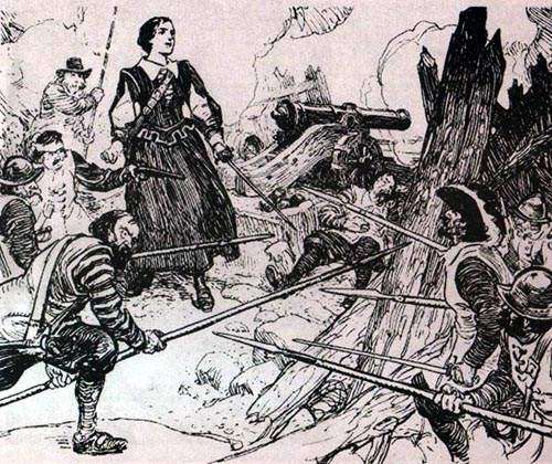
The Battle of Port La Tour occurred on July 18, 1677, at Port La Tour, Acadia, as part of the Northeast Coast Campaign during the First Abenaki War (the Maine-Acadia theater of King Phillips War) in which the Mi'kmaq attacked New England fishermen. The New Englanders eventually overwhelmed them and many Mi'kmaq were enslaved. Historical context Prior to King Philip's War, there is no record of New England and the Mi'kmaq being in conflict. During the First Abenaki War, Major Richard Waldron captured natives for the slave trade. The most significant seizure of natives happened in Dover on September 7, 1676. Later, Waldron gave a mandate to the merchant, Henry Lawton (or Laughton), of the Piscataqua area, to seize all the Indians "of the East" who had been raiding the New England villages along the border with Acadia. On November 9, 1676 ( o.s.), they hired a vessel, the ''Endeavor'', commanded by Captain John Horton. They stopped at Machias and nine natives were taken captiv ... [...More Info...] [...Related Items...] OR: [Wikipedia] [Google] [Baidu] |
Port La Tour, Nova Scotia
Port La Tour is a community in the Canadian province of Nova Scotia, located in the Municipality of the District of Barrington of Shelburne County. The Historic Sites and Monuments Board of Canada asserts that Fort Saint Louis is located at Port La Tour, although this has been disputed. It has also been claimed that the fort at Port La Tour was Fort Lomeron (also known as Fort La Tour) and that Fort St. Louis was located at the neighbouring community of Villagedale, Nova Scotia. French Colony Cape Sable and Cape Negro, Nova Scotia were first settled by the Acadians who migrated from Port Royal, Nova Scotia in 1620. The French governor of Acadia, Charles de la Tour, colonized Cap de Sable giving it the present name, meaning Sandy Cape. La Tour built up a strong post at Cap de Sable (present-day Port La Tour, Nova Scotia) beginning in 1623, called Fort Lomeron in honour of David Lomeron who was his agent in France. (The fur trading post called Fort Lomeron was later renamed Fo ... [...More Info...] [...Related Items...] OR: [Wikipedia] [Google] [Baidu] |
Cape Sable Island
Cape Sable Island, locally referred to as Cape Island, is a small Canadian island at the southernmost point of the Nova Scotia peninsula. It is sometimes confused with Sable Island. Historically, the Argyle, Nova Scotia region was known as Cape Sable and encompassed a much larger area than simply the island it does today. It extended from Cape Negro (Baccaro) through Chebogue. The island is situated in Shelburne County south of Barrington Head, separated from the mainland by the narrow strait of Barrington Passage, but has been connected since 1949 by a causeway. The largest community on the island is the town of Clark's Harbour. Other communities are listed below. At the extreme southern tip is Cape Sable. History Cape Sable Island was inhabited by the Mi'kmaq who knew it as Kespoogwitk meaning "land's end". It was first charted by explorers from Portugal who named it Beusablom, meaning "Sandy Bay". French Colony Cape Sable and Cape Negro, Nova Scotia were first settle ... [...More Info...] [...Related Items...] OR: [Wikipedia] [Google] [Baidu] |
Military History Of Nova Scotia
Nova Scotia (also known as Mi'kma'ki and Acadia) is a Canadian province located in Canada's Maritimes. The region was initially occupied by Mi'kmaq. The colonial history of Nova Scotia includes the present-day Canadian Maritime provinces and the northern part of Maine ( Sunbury County, Nova Scotia), all of which were at one time part of Nova Scotia. In 1763 Cape Breton Island and St. John's Island (now Prince Edward Island) became part of Nova Scotia. In 1769, St. John's Island became a separate colony. Nova Scotia included present-day New Brunswick until that province was established in 1784. (In 1765, the county of Sunbury was created, and included the territory of present-day New Brunswick and eastern Maine as far as the Penobscot River.) During the first 150 years of European settlement, the colony was primarily made up of Catholic Acadians, Maliseet and Mi'kmaq. During the latter seventy-five years of this time period, there were six colonial wars that took place in Nova Sc ... [...More Info...] [...Related Items...] OR: [Wikipedia] [Google] [Baidu] |
Treaty Of Casco (1678)
The Treaty of Casco (1678) was a treaty that brought to a close the war between the Indigenous Dawnland nations and the English settlers. There are no surviving copies of the treaty or its proceedings, so historians use a summary by Jeremy Belknap in his 1784 ''History of New Hampshire''. Most of Maine's English settlers were scattered among in settlements strung out along the coast or lower rivers. The Wabanaki north and east of the Kennebec River formed alliances with the French through the fur trade. By 1670, the Indigenous communities became increasingly frustrated with the settlers as a result of trade disputes, land encroachment, rum trading and free-roaming English livestock in their cornfields, which laid the foundation for future conflicts. On 12 April 1678 the provincial government of New York, which controlled Maine between 1677 and 1686, signed the first Treaty of Casco with the Penobscots representatives, headed by Chief Madockawando. Under the terms of the treat ... [...More Info...] [...Related Items...] OR: [Wikipedia] [Google] [Baidu] |
Marblehead, Massachusetts
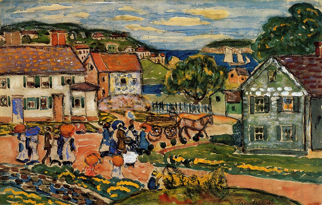
Marblehead is a coastal New England town in Essex County, Massachusetts, along the North Shore (Massachusetts), North Shore. Its population was 20,441 at the 2020 United States Census, 2020 census. The town lies on a small peninsula that extends into the northern part of Massachusetts Bay. Attached to the town is a near island, known as Marblehead Neck, connected to the mainland by a narrow isthmus. Marblehead Harbor, protected by shallow shoals and rocks from the open sea, lies between the mainland and the Neck. Beside the Marblehead town center, two other villages lie within the town: the Old Town, which was the original town center, and Clifton, which lies along the border with the neighboring town of Swampscott, Massachusetts, Swampscott. A town with roots in commercial fishing and yachting, Marblehead was a major shipyard and is often referred to as the birthplace of the United States Navy, American Navy, a title sometimes disputed with nearby Beverly, Massachusetts, Beve ... [...More Info...] [...Related Items...] OR: [Wikipedia] [Google] [Baidu] |
Castine, Maine
Castine ( ) is a town in Hancock County in eastern Maine.; John Faragher. ''Great and Nobel Scheme''. 2005. p. 68. The population was 1,320 at the 2020 census. Castine is the home of Maine Maritime Academy, a four-year institution that graduates officers and engineers for the United States Merchant Marine and marine related industries. Approximately 1000 students are enrolled. During the French colonial period, Castine was the southern tip of Acadia and served as the regional capital between 1670 and 1674. During the 17th and early 18th century, New France defined the Kennebec River as the southern boundary of Acadia, which put Castine within Acadia. The town is named after Jean-Vincent d'Abbadie de Saint-Castin. History Contested territory Called Majabigwaduce by Tarrantine Abenaki Indians, Castine is one of the oldest towns in New England, predating the Plymouth Colony by seven years. Situated on Penobscot Bay, it is near the site of Fort Pentagouet, which many consider ... [...More Info...] [...Related Items...] OR: [Wikipedia] [Google] [Baidu] |
Penobscot River
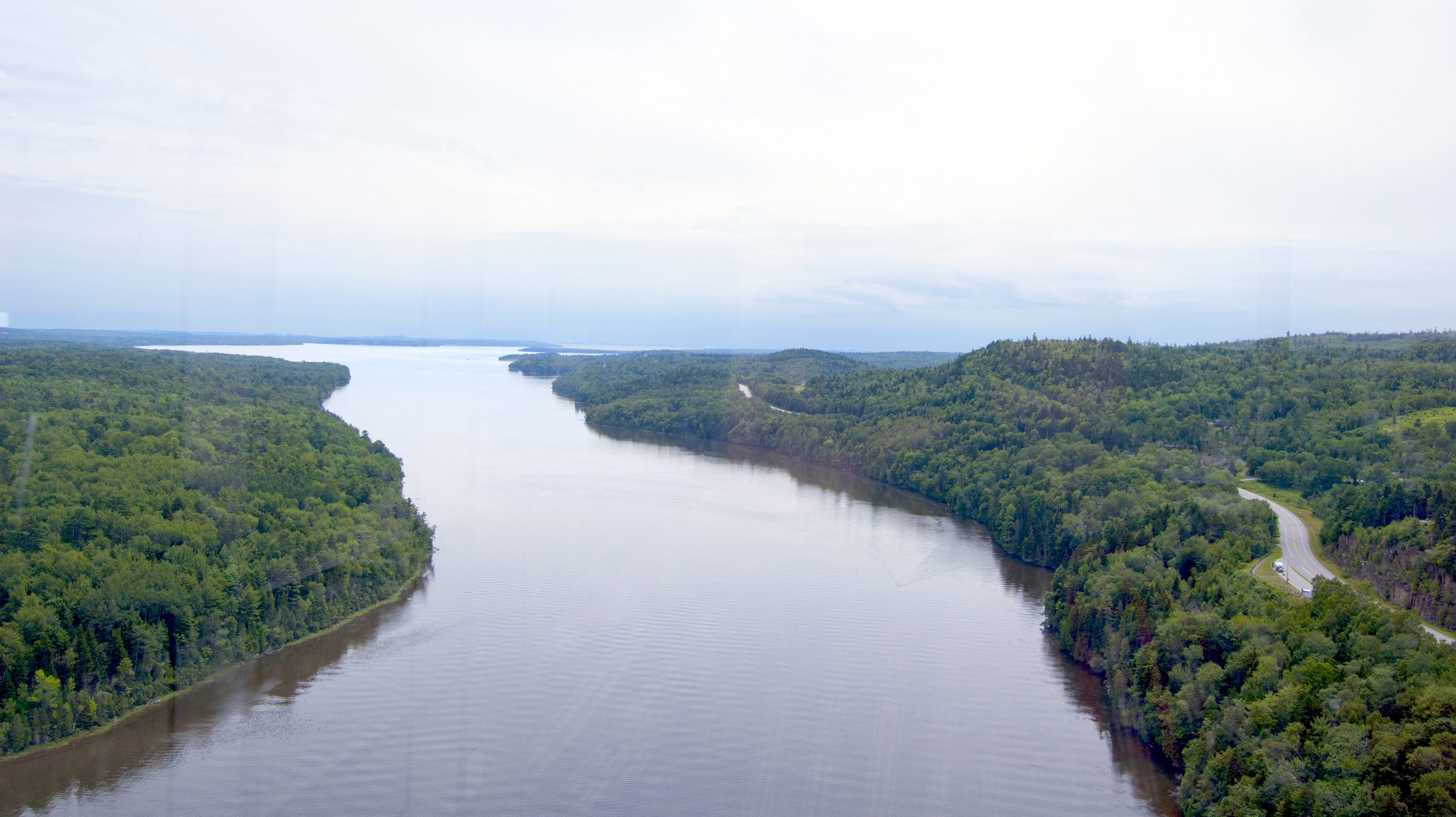
The Penobscot River (Abenaki: ''Pαnawάhpskewtəkʷ'') is a U.S. Geological Survey. National Hydrography Dataset high-resolution flowline dataThe National Map, accessed June 22, 2011 river in the U.S. state of Maine. Including the river's West Branch and South Branch increases the Penobscot's length to , making it the second-longest river system in Maine and the longest entirely in the state. Its drainage basin contains . It arises from four branches in several lakes in north-central Maine, which flow generally east. After the uniting of the West Branch with the East Branch at Medway (), the Penobscot flows south, past the city of Bangor, where it becomes navigable. Also at Bangor is the tributary Kenduskeag Stream. It empties into the Atlantic Ocean in Penobscot Bay. It is home to the Penobscot people that live on Indian Island, and considered to be The People's lifeblood. History Norumbega Most historians have accepted the Penobscot region as Jean Allefonsce's ... [...More Info...] [...Related Items...] OR: [Wikipedia] [Google] [Baidu] |
Port-Royal (Acadia)
Port-Royal (1629–1710) was a settlement on the site of modern-day Annapolis Royal, Nova Scotia, part of the French colony of Acadia. The original French settlement of Port-Royal (Habitation de Port-Royal (1605-1613, about southwest) had earlier established farms in the area. In 1629, William Alexander (the younger) established a Scottish colony at the site and named it Charles Fort. Upon the handing back of Acadia to the French by the Treaty of Saint-Germain-en-Laye (1632) the settlement was occupied by the French and renamed Port-Royal. For most of the period until the Siege of Port Royal by the Kingdom of Great Britain in 1710, the village was the capital of Acadia. Port-Royal was the primary Acadian settlement until Acadians migrated out of the community to Pisiguit, Cobequid, Grand Pre, and Beaubassin (Isthmus of Chignecto) in the 1680s. Context The Habitation at Port-Royal was established on the other side of the river by Pierre Du Gua de Monts, with the able ass ... [...More Info...] [...Related Items...] OR: [Wikipedia] [Google] [Baidu] |
Boston
Boston (), officially the City of Boston, is the state capital and most populous city of the Commonwealth of Massachusetts, as well as the cultural and financial center of the New England region of the United States. It is the 24th- most populous city in the country. The city boundaries encompass an area of about and a population of 675,647 as of 2020. It is the seat of Suffolk County (although the county government was disbanded on July 1, 1999). The city is the economic and cultural anchor of a substantially larger metropolitan area known as Greater Boston, a metropolitan statistical area (MSA) home to a census-estimated 4.8 million people in 2016 and ranking as the tenth-largest MSA in the country. A broader combined statistical area (CSA), generally corresponding to the commuting area and including Providence, Rhode Island, is home to approximately 8.2 million people, making it the sixth most populous in the United States. Boston is one of the oldest ... [...More Info...] [...Related Items...] OR: [Wikipedia] [Google] [Baidu] |
Azores
) , motto =( en, "Rather die free than subjected in peace") , anthem= ( en, "Anthem of the Azores") , image_map=Locator_map_of_Azores_in_EU.svg , map_alt=Location of the Azores within the European Union , map_caption=Location of the Azores within the European Union , subdivision_type=Sovereign state , subdivision_name=Portugal , established_title=Settlement , established_date=1432 , established_title3=Autonomous status , established_date3=30 April 1976 , official_languages=Portuguese , demonym= ( en, Azorean) , capital_type= Capitals , capital = Ponta Delgada (executive) Angra do Heroísmo (judicial) Horta (legislative) , largest_city = Ponta Delgada , government_type=Autonomous Region , leader_title1=Representative of the Republic , leader_name1=Pedro Manuel dos Reis Alves Catarino , leader_title2= President of the Legislative Assembly , leader_name2= Luís Garcia , leader_title3= President of the Regional Government , leader_name3=José Manuel Bolieiro , le ... [...More Info...] [...Related Items...] OR: [Wikipedia] [Google] [Baidu] |
Machias River
The Machias River is a U.S. Geological Survey. National Hydrography Dataset high-resolution flowline dataThe National Map, accessed 2011-06-22 river in Maine, USA. It flows through Washington County in the eastern part of the state, from Fifth Machias Lake (), passing the town of Machias and emptying into Machias Bay. History The name is believed to derive from a Passamaquoddy word meaning "bad run of water" or "bad little falls", either of which does describe the difficulty of canoeing some of the rapids in the river. The river was used as a seasonal migration route by Indians. The first European settlement is believed to have been an English trading post in 1633, almost immediately destroyed by the French. The first permanent settlement in the area in 1763 was intended to be a site for the production of lumber, with 1.6 million board feet produced in 1764. The river mouth and offshore waters were the scene of the Battle of Machias — the first naval battle of the ... [...More Info...] [...Related Items...] OR: [Wikipedia] [Google] [Baidu] |
Acadia
Acadia (french: link=no, Acadie) was a colony of New France in northeastern North America which included parts of what are now the Maritime provinces, the Gaspé Peninsula and Maine to the Kennebec River. During much of the 17th and early 18th centuries, Norridgewock on the Kennebec River and Castine at the end of the Penobscot River were the southernmost settlements of Acadia. The French government specified land bordering the Atlantic coast, roughly between the 40th and 46th parallels. It was eventually divided into British colonies. The population of Acadia included the various indigenous First Nations that comprised the Wabanaki Confederacy, the Acadian people and other French settlers. The first capital of Acadia was established in 1605 as Port-Royal. An English force from Virginia attacked and burned down the town in 1613, but it was later rebuilt nearby, where it remained the longest-serving capital of French Acadia until the British siege of Port Royal in 17 ... [...More Info...] [...Related Items...] OR: [Wikipedia] [Google] [Baidu] |


_(cropped).jpg)
