|
Battle Of Peonnum
The Battle of Peonnum was fought about AD 660 between the West Saxons under Cenwalh and the Britons of what is now Somerset in England. It was a decisive victory for the Saxons, who gained control of Somerset as far west as the River Parrett. The location of the battle is uncertain. Saxon conquest The border between the West Saxons and the Britons of Somerset had been set at the Wansdyke along the ridge of the Mendip Hills following the Battle of Deorham and the Saxon occupation of Bath in 577.Major, p. 44. Then, in 652, Cenwalh broke through at the Battle of Bradford on Avon. Relief for the Britons came when Cenwalh was exiled to East Anglia after a squabble with Penda of Mercia. Some time after his return he renewed the attack on the British tribes and in 658 his army met the Britons for a climactic battle at Peonnum. The Saxons were victorious, and Cenwalh advanced west through the Polden Hills to the River Parrett, annexing eastern and central Somerset. The territory gained ... [...More Info...] [...Related Items...] OR: [Wikipedia] [Google] [Baidu] |
Kenwalch's Castle
Kenwalch's Castle is probably an Iron Age hill fort that may have been converted into a Roman Britain, Roman fortress, near Penselwood, Somerset, England, east south east of Bruton at . It is a Scheduled Ancient Monument. It is believed to be named after Cenwalh of Wessex. The site straddles the modern border between Somerset and Wiltshire, and is within Castle Wood which covers its defences and interior. The latter has an area of . There is a single rampart and ditch which are well preserved in places. The earthwork bank is up to high and accompanied by a ditch in places. The road north from Penselwood village crosses the hill fort and probably passes through the original entrances. It is believed to be the site of the Battle of Peonnum. Background Hill forts developed in the Late Bronze and Early Iron Age, roughly the start of the 1st millennium BC, first millennium BC. The reason for their emergence in Britain, and their purpose, has been a subject of debate. It has ... [...More Info...] [...Related Items...] OR: [Wikipedia] [Google] [Baidu] |
Centwine Of Wessex
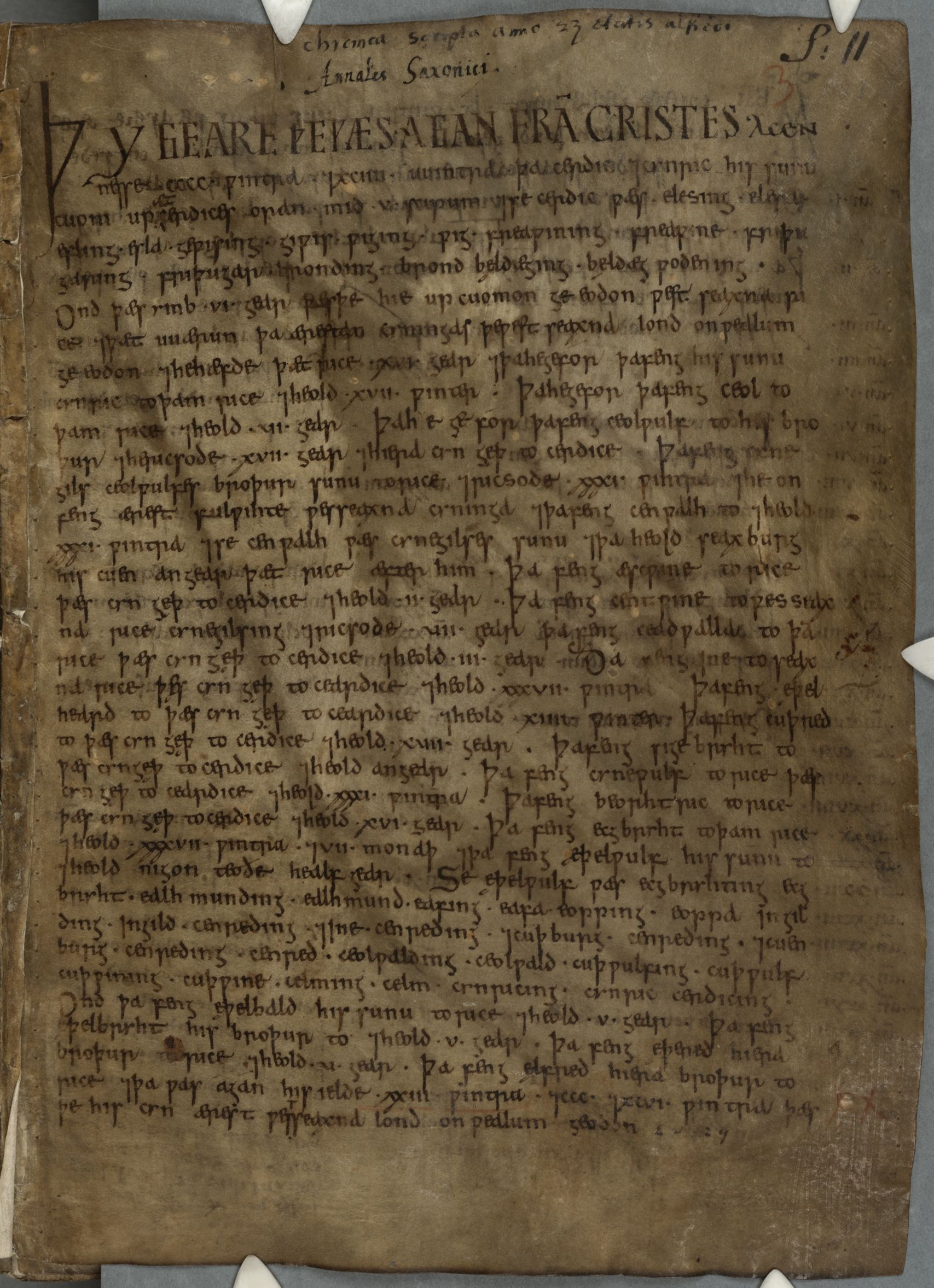
Centwine (died after 685) was King of Wessex from c. 676 to 685 or 686, although he was perhaps not the only king of the West Saxons at the time. The ''Anglo-Saxon Chronicle'' reports that Centwine became king c. 676, succeeding Æscwine. Bede states that after the death of King Cenwalh: "his under-rulers took upon them the kingdom of the people, and dividing it among themselves, held it ten years". Bede's dismissal of Æscwine and Centwine as merely sub-kings may represent the views of the supporters of the King Ine, whose family ruled Wessex in Bede's time. However, if the West Saxon kingdom did fragment following Cenwalh's death, it appears that it was reunited during Centwine's reign. An entry under 682 in the ''Anglo-Saxon Chronicle'' records that "Centwine drove the Britons to the sea". This is the only event recorded in his reign. The ''Carmina Ecclesiastica'' of Aldhelm, Bishop of Sherborne (died 709), written a generation after Centwine's reign, records that he won thr ... [...More Info...] [...Related Items...] OR: [Wikipedia] [Google] [Baidu] |
History Of Somerset
Somerset is a historic county in the south west of England. There is evidence of human occupation since prehistoric times with hand axes and flint points from the Palaeolithic and Mesolithic eras, and a range of burial mounds, hill forts and other artefacts dating from the Neolithic, Bronze and Iron Ages. The oldest dated human road work in Great Britain is the Sweet Track, constructed across the Somerset Levels with wooden planks in the 39th century BCE. Following the Roman Empire's invasion of southern Britain, the mining of lead and silver in the Mendip Hills provided a basis for local industry and commerce. Bath became the site of a major Roman fort and city, the remains of which can still be seen. During the Early Medieval period Somerset was the scene of battles between the Anglo-Saxons and first the Britons and later the Danes. In this period it was ruled first by various kings of Wessex, and later by kings of England. Following the defeat of the Anglo-Saxon monar ... [...More Info...] [...Related Items...] OR: [Wikipedia] [Google] [Baidu] |
Glastening
Glastening (or ''Glastenning'') refers to an old Welsh pedigree mentioned by William of Malmesbury possibly associated with Glastonbury. Associated genealogies Modern and medieval historians have sought to associate various versions of the same Old Welsh pedigree with Glastonbury. The earliest genealogy is a 10th-century text, the Harleian Genealogies, preserved in London, British Library, Harley MS 3859, which ends with Glast and states ''unum sunt Glastenic qui uenerunt que uocatur Loytcoyt'', or "one of those who came to Glastenning from the place called Luit-Coyt" (modern Lichfield). Other versions are given in the later ''Achau Brenhinoedd a Thywysogion Cymru'' and William of Malmesbury's ''De antiquitate Glastonie ecclesie'', where the pedigree is listed as brothers. From the versions it not clear whether Glast was a personal name or a kindred group as Glastening, "descendants of Glasten", or an epithet ''Glas'' meaning "the Blue, Green or Grey". In literature The Glasteni ... [...More Info...] [...Related Items...] OR: [Wikipedia] [Google] [Baidu] |
Yeovil
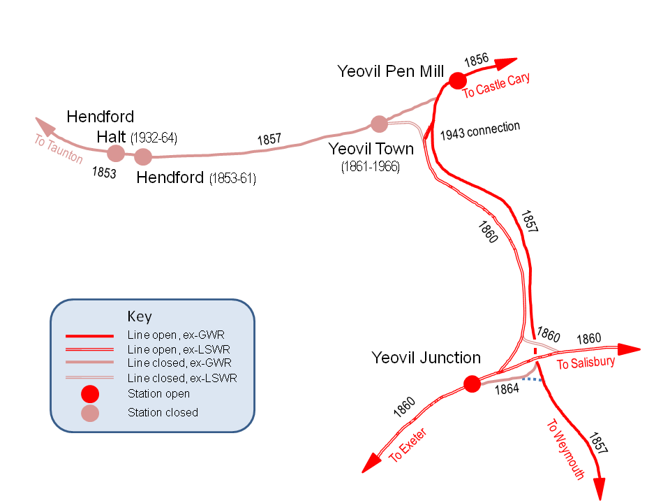
Yeovil ( ) is a town and civil parish in the district of South Somerset, England. The population of Yeovil at the last census (2011) was 45,784. More recent estimates show a population of 48,564. It is close to Somerset's southern border with Dorset, from London, south of Bristol, from Sherborne and from Taunton. The aircraft and defence industries which developed in the 20th century made it a target for bombing in the Second World War; they are still major employers. Yeovil Country Park, which includes Ninesprings, is one of several open spaces with educational, cultural and sporting facilities. Religious sites include the 14th-century Church of St John the Baptist. The town is on the A30 and A37 roads and has two railway stations. History Archaeological surveys have yielded Palaeolithic burial and settlement sites mainly to the south of the modern town, particularly in Hendford, where a Bronze Age golden torc (twisted collar) was found. Yeovil is on the main Roma ... [...More Info...] [...Related Items...] OR: [Wikipedia] [Google] [Baidu] |
Pinhoe
Pinhoe is a former village, manor and ecclesiastical parish, now a suburb on the north eastern outskirts of the City of Exeter in the English county of Devon. The 2001 census recorded a population of 6,108 people resident within Pinhoe Ward, one of 18 wards comprising the City of Exeter. The population increased to 6,454 at the 2011 Census. History Historically Pinhoe formed part of Wonford Hundred. It falls within Aylesbeare Deanery for ecclesiastical purposes. A parish history file is held in Pinhoe Library. Pinhoe is mentioned as 'Pinnoch' in the Great Domesday Book compiled in 1086. There have been several significant archaeological finds in the village over the past 100 years. These have included Roman coins and what is known as 'the Pinhoe hoard' of Bronze Age metalwork found in 1999. In 1001, the Danes, having landed at Exmouth, marched to Exeter, which they besieged, but unable to take the settlement, they laid waste the surrounding country. At Pinhoe, they were ... [...More Info...] [...Related Items...] OR: [Wikipedia] [Google] [Baidu] |
Domesday Book
Domesday Book () – the Middle English spelling of "Doomsday Book" – is a manuscript record of the "Great Survey" of much of England and parts of Wales completed in 1086 by order of King William I, known as William the Conqueror. The manuscript was originally known by the Latin name ''Liber de Wintonia'', meaning "Book of Winchester", where it was originally kept in the royal treasury. The '' Anglo-Saxon Chronicle'' states that in 1085 the king sent his agents to survey every shire in England, to list his holdings and dues owed to him. Written in Medieval Latin, it was highly abbreviated and included some vernacular native terms without Latin equivalents. The survey's main purpose was to record the annual value of every piece of landed property to its lord, and the resources in land, manpower, and livestock from which the value derived. The name "Domesday Book" came into use in the 12th century. Richard FitzNeal wrote in the '' Dialogus de Scaccario'' ( 1179) that the bo ... [...More Info...] [...Related Items...] OR: [Wikipedia] [Google] [Baidu] |
Wincanton
Wincanton ( or ) is a small town and electoral ward in South Somerset, southwest England. The town lies off the A303 road, a main route between London and South West England, and has some light industry. The town and electoral ward has a population of 5,272. History Windmill Hill was the site of a Bronze Age Beaker culture burial, and contemporary artefacts have been found on the Selwood Ridge. Prior to the Norman Conquest Wincanton was frequently the scene of battles between the Britons, Danes and Saxons. During the reign of Edmund Ironside, the English, under his command, defeated the Danes, forcing them to leave England. In the Domesday Book the name of the town was spelled as "Wincaleton", thought to mean "Pleasant town on the Cale". Cockroad Wood Castle, which is now in the parish of Charlton Musgrove, was a motte and bailey castle, probably built after the Norman conquest of England of 1066. The castle sits close to the contemporary Norman castles of Ballands and Cas ... [...More Info...] [...Related Items...] OR: [Wikipedia] [Google] [Baidu] |
Penselwood
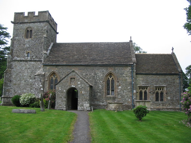
Penselwood is a village and civil parish in the English county of Somerset. It is located north east of Wincanton, south east of Bruton, west of Mere, and north west of Gillingham. The south-east of the parish borders Zeals and Stourhead in Wiltshire, and Bourton in Dorset. In 1991 the parish occupied 523 hectares (1,292 acres). Name The medieval form of the name was "Penn in Selwood", where ''pen'' (Brittonic for "head") probably referred to a hill and ''Selwood'' was the Selwood Forest which once surrounded the area. David Nash Ford associated nearby Ilchester with the Nennius (). Theodor Mommsen (). ''Historia Brittonum'', VI. Composed after AD 830. Hosted at Latin Wikisource. listed among the 28 cities of Britain by the ''History of the Britons'' on the basis that it should be read as an Old Welsh form of 'Penselwood'Ford, David Nash.The 28 Cities of Britain" at Britannia. 2000. (''coit'' being Welsh for "forest"), although others view it as three separate word ... [...More Info...] [...Related Items...] OR: [Wikipedia] [Google] [Baidu] |
Brythonic Languages
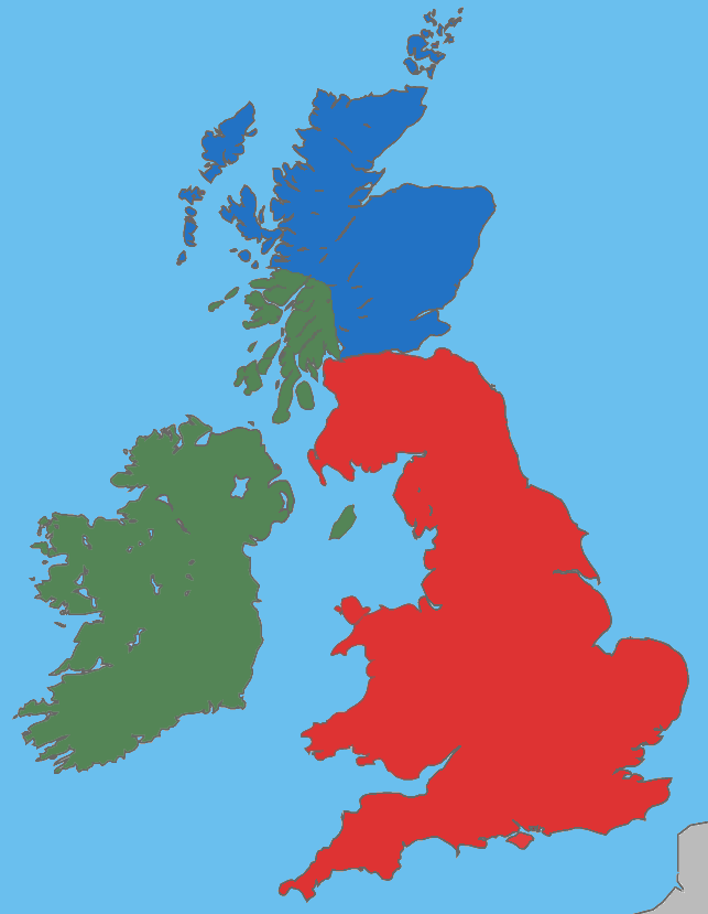
The Brittonic languages (also Brythonic or British Celtic; cy, ieithoedd Brythonaidd/Prydeinig; kw, yethow brythonek/predennek; br, yezhoù predenek) form one of the two branches of the Insular Celtic language family; the other is Goidelic. The name ''Brythonic'' was derived by Welsh Celticist John Rhys from the Welsh word , meaning Ancient Britons as opposed to an Anglo-Saxon or Gael. The Brittonic languages derive from the Common Brittonic language, spoken throughout Great Britain during the Iron Age and Roman period. In the 5th and 6th centuries emigrating Britons also took Brittonic speech to the continent, most significantly in Brittany and Britonia. During the next few centuries the language began to split into several dialects, eventually evolving into Welsh, Cornish, Breton, Cumbric, and probably Pictish. Welsh and Breton continue to be spoken as native languages, while a revival in Cornish has led to an increase in speakers of that language. Cumbric and Pic ... [...More Info...] [...Related Items...] OR: [Wikipedia] [Google] [Baidu] |
Ine Of Wessex
Ine, also rendered Ini or Ina, ( la, Inus; c. AD 670 – after 726) was King of Wessex from 689 to 726. At Ine's accession, his kingdom dominated much of southern England. However, he was unable to retain the territorial gains of his predecessor, Cædwalla, who had expanded West Saxon territory substantially. By the end of Ine's reign, the kingdoms of Kent, Sussex, and Essex were no longer under West Saxon sway; however, Ine maintained control of what is now Hampshire, and consolidated and extended Wessex's territory in the western peninsula. Ine is noted for his code of laws (''Ines asetnessa'' or "laws of Ine"), which he issued in about 694. These laws were the first issued by an Anglo-Saxon king outside Kent. They shed much light on the history of Anglo-Saxon society, and reveal Ine's Christian convictions. Trade increased significantly during Ine's reign, with the town of Hamwic (now Southampton) becoming prominent. It was probably during Ine's reign that the West Saxon ... [...More Info...] [...Related Items...] OR: [Wikipedia] [Google] [Baidu] |
Devon
Devon ( , historically known as Devonshire , ) is a ceremonial and non-metropolitan county in South West England. The most populous settlement in Devon is the city of Plymouth, followed by Devon's county town, the city of Exeter. Devon is a coastal county with cliffs and sandy beaches. Home to the largest open space in southern England, Dartmoor (), the county is predominately rural and has a relatively low population density for an English county. The county is bordered by Somerset to the north east, Dorset to the east, and Cornwall to the west. The county is split into the non-metropolitan districts of East Devon, Mid Devon, North Devon, South Hams, Teignbridge, Torridge, West Devon, Exeter, and the unitary authority areas of Plymouth, and Torbay. Combined as a ceremonial county, Devon's area is and its population is about 1.2 million. Devon derives its name from Dumnonia (the shift from ''m'' to ''v'' is a typical Celtic consonant shift) ... [...More Info...] [...Related Items...] OR: [Wikipedia] [Google] [Baidu] |


