|
Burntwick Island
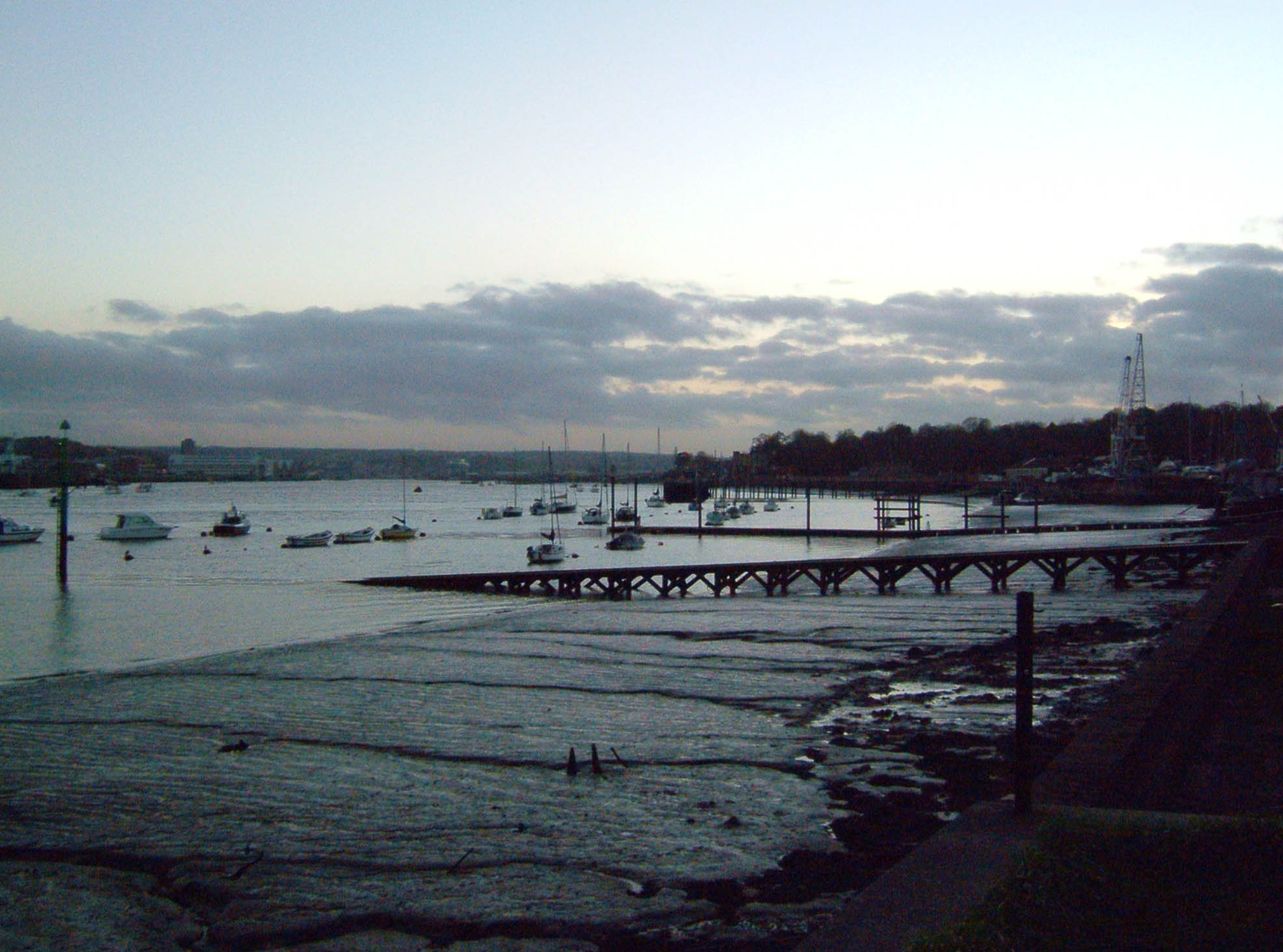
Burntwick Island is an island in the estuary of the River Medway in Kent, United Kingdom. It is a flat, raised area of marshland around long and wide among the tidal sand banks on the southern side of the estuary and separated from the British mainland of Chetney Marshes by a narrow channel known as Stangate Creek. The island is crossed by several narrow tidal channels that mean that at high tide the island is separated into several smaller islands. History Until the 18th century, the island was part of the mainland and formed the northernmost area of the parish of Upchurch. A track that ran from Shoregate Lane at Ham Green can still be traced. In the late 18th and early 19th centuries it was used as a quarantine base for disease-infected ships, with the bodies of those who died usually buried on Deadman's Island to the east. The island was also used for smuggling, particularly after rising customs duties in the late 18th century, with tea and spirits the most commonly smuggl ... [...More Info...] [...Related Items...] OR: [Wikipedia] [Google] [Baidu] |
River Medway
The River Medway is a river in South East England. It rises in the High Weald AONB, High Weald, East Sussex and flows through Tonbridge, Maidstone and the Medway conurbation in Kent, before emptying into the Thames Estuary near Sheerness, a total distance of . About of the river lies in East Sussex, with the remainder being in Kent. It has a Drainage basin, catchment area of , the second largest in southern England after the River Thames, Thames. The map opposite shows only the major tributaries: a more detailed map shows the extensive network of smaller streams feeding into the main river. Those tributaries rise from points along the North Downs, the Weald and Ashdown Forest. Tributaries The major tributaries are: * River Eden, Kent, River Eden * River Bourne, Kent, River Bourne, known in the past as the Shode or Busty * River Teise, major sub-tributary River Bewl * River Beult * Loose Stream * River Len Minor tributaries include: * Wateringbury Stream * East Malling St ... [...More Info...] [...Related Items...] OR: [Wikipedia] [Google] [Baidu] |
Kent
Kent is a county in South East England and one of the home counties. It borders Greater London to the north-west, Surrey to the west and East Sussex to the south-west, and Essex to the north across the estuary of the River Thames; it faces the French department of Pas-de-Calais across the Strait of Dover. The county town is Maidstone. It is the fifth most populous county in England, the most populous non-Metropolitan county and the most populous of the home counties. Kent was one of the first British territories to be settled by Germanic tribes, most notably the Jutes, following the withdrawal of the Romans. Canterbury Cathedral in Kent, the oldest cathedral in England, has been the seat of the Archbishops of Canterbury since the conversion of England to Christianity that began in the 6th century with Saint Augustine. Rochester Cathedral in Medway is England's second-oldest cathedral. Located between London and the Strait of Dover, which separates England from mainla ... [...More Info...] [...Related Items...] OR: [Wikipedia] [Google] [Baidu] |
Borough Of Swale
Swale is a local government district with borough status in Kent, England and is bounded by Medway to the west, Canterbury to the east, Ashford to the south and Maidstone to the south west. Its council is based in Sittingbourne. The district is named after the narrow channel called The Swale, that separates the mainland of Kent from the Isle of Sheppey, and which occupies the central part of the district. The district was formed in 1974 under the Local Government Act 1972, from the Borough of Faversham; the Borough of Queenborough-in-Sheppey, which covered the whole of Sheppey; the Sittingbourne and Milton Urban District; and Swale Rural District. Most of the southern half of the Borough lies within the Kent Downs Area of Outstanding Natural Beauty, whilst Sittingbourne and the Isle of Sheppey forms the concluding part of the Thames Gateway growth area. There are four towns in the borough: Sittingbourne and Faversham on the mainland, and Sheerness and Queenborough on S ... [...More Info...] [...Related Items...] OR: [Wikipedia] [Google] [Baidu] |
Estuary
An estuary is a partially enclosed coastal body of brackish water with one or more rivers or streams flowing into it, and with a free connection to the open sea. Estuaries form a transition zone between river environments and maritime environments and are an example of an ecotone. Estuaries are subject both to marine influences such as tides, waves, and the influx of saline water, and to fluvial influences such as flows of freshwater and sediment. The mixing of seawater and freshwater provides high levels of nutrients both in the water column and in sediment, making estuaries among the most productive natural habitats in the world. Most existing estuaries formed during the Holocene epoch with the flooding of river-eroded or glacially scoured valleys when the sea level began to rise about 10,000–12,000 years ago. Estuaries are typically classified according to their geomorphological features or to water-circulation patterns. They can have many different names, such as bays, ... [...More Info...] [...Related Items...] OR: [Wikipedia] [Google] [Baidu] |
United Kingdom
The United Kingdom of Great Britain and Northern Ireland, commonly known as the United Kingdom (UK) or Britain, is a country in Europe, off the north-western coast of the continental mainland. It comprises England, Scotland, Wales and Northern Ireland. The United Kingdom includes the island of Great Britain, the north-eastern part of the island of Ireland, and many smaller islands within the British Isles. Northern Ireland shares a land border with the Republic of Ireland; otherwise, the United Kingdom is surrounded by the Atlantic Ocean, the North Sea, the English Channel, the Celtic Sea and the Irish Sea. The total area of the United Kingdom is , with an estimated 2020 population of more than 67 million people. The United Kingdom has evolved from a series of annexations, unions and separations of constituent countries over several hundred years. The Treaty of Union between the Kingdom of England (which included Wales, annexed in 1542) and the Kingdom of Scotland in 170 ... [...More Info...] [...Related Items...] OR: [Wikipedia] [Google] [Baidu] |
Upchurch
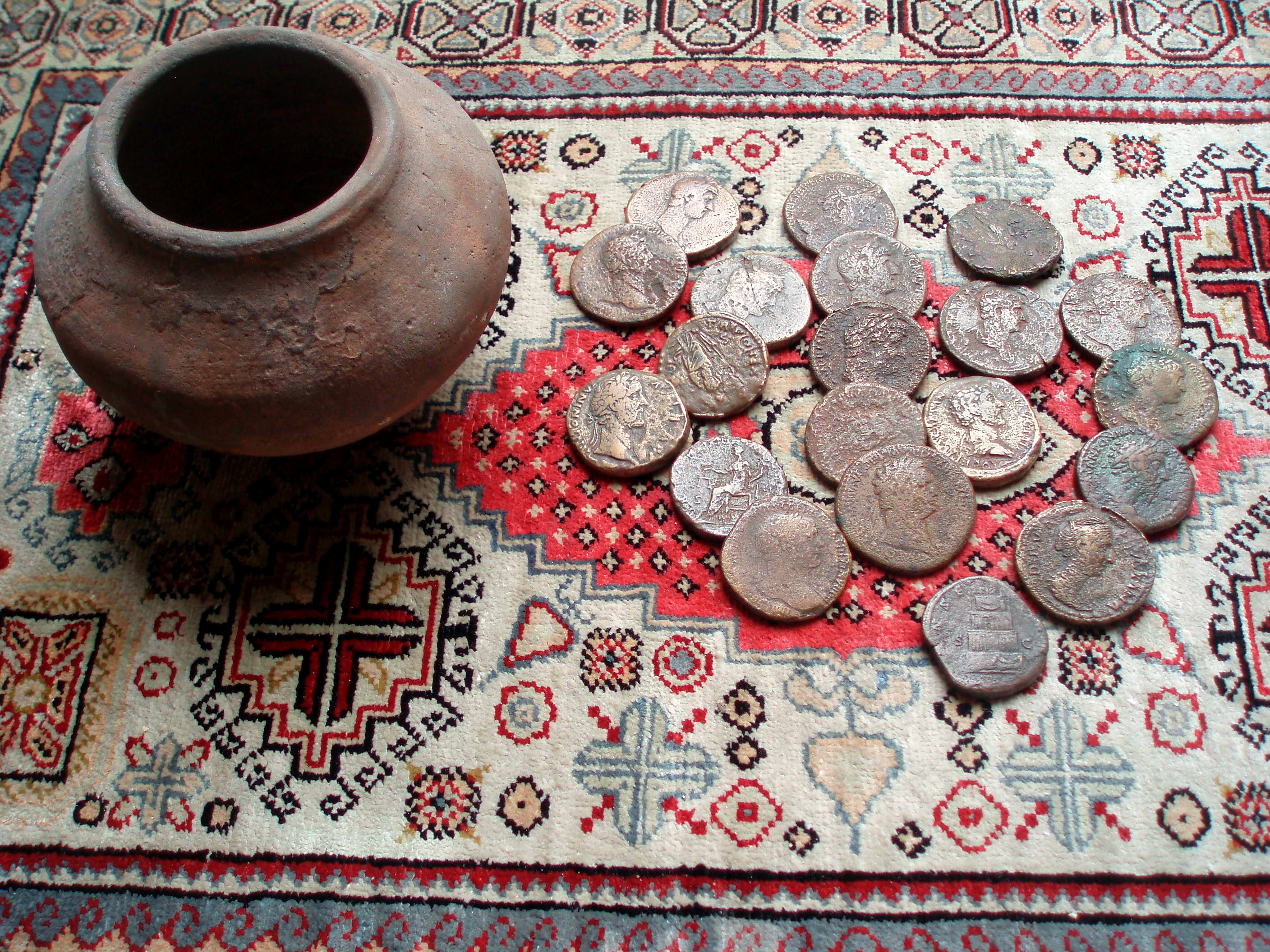
Upchurch is a village and civil parish in the Swale district of Kent, England. It is situated just off the A2 road, between Rainham and Sittingbourne. History Upchurch lay on a pre-Roman trackway; the many linking roads are the result of Roman occupation, which had built a community of ex-soldiers who wanted to settle in England. A Roman cemetery has been discovered here. There were also several Roman pottery works sited here. It is probable that, although today the land is low-lying and marshy, it was once higher than it is today. The Upchurch Hoard is a hoard of well worn coins which date from the first and second century A.D. which were found close to Upchurch in 1950. Upchurch Hoard Andrew McCabe, ancients.info, accessed June 2010 A more recent pottery was established here in 1909 called the [...More Info...] [...Related Items...] OR: [Wikipedia] [Google] [Baidu] |
Quarantine
A quarantine is a restriction on the movement of people, animals and goods which is intended to prevent the spread of disease or pests. It is often used in connection to disease and illness, preventing the movement of those who may have been exposed to a communicable disease, yet do not have a confirmed medical diagnosis. It is distinct from medical isolation, in which those confirmed to be infected with a communicable disease are isolated from the healthy population. Quarantine considerations are often one aspect of border control. The concept of quarantine has been known since biblical times, and is known to have been practised through history in various places. Notable quarantines in modern history include the village of Eyam in 1665 during the bubonic plague outbreak in England; East Samoa during the 1918 flu pandemic; the Diphtheria outbreak during the 1925 serum run to Nome, the 1972 Yugoslav smallpox outbreak, the SARS pandemic, the Ebola pandemic and extensive ... [...More Info...] [...Related Items...] OR: [Wikipedia] [Google] [Baidu] |
Deadman's Island (Kent)
Deadman's Island is a small island in the estuary of the River Medway in Kent, United Kingdom close to where The Swale flows into the Medway. It is a flat, raised area of marshland around long and wide among the tidal sand banks on the southern side of the estuary and separated from the British mainland of Chetney Marshes by a narrow channel known as Shepherd's Creek. The town of Queenborough lies around to the east across the West Swale channel. The island is crossed by several narrow tidal channels that mean that at high tide the island is separated into several smaller islands. The island consists primarily of mudbanks and is uninhabited. Owned by Natural England, it is leased to two people, and is also a Site of Special Scientific Interest (SSSI) due to its importance as a nesting and breeding site for birds. In 2016 the remains of more than 200 humans were found on the island. It is believed that the remains are those of men and boys who died of disease on board prison h ... [...More Info...] [...Related Items...] OR: [Wikipedia] [Google] [Baidu] |
Maidstone
Maidstone is the largest Town status in the United Kingdom, town in Kent, England, of which it is the county town. Maidstone is historically important and lies 32 miles (51 km) east-south-east of London. The River Medway runs through the centre of the town, linking it with Rochester, Kent, Rochester and the Thames Estuary. Historically, the river carried much of the town's trade as the centre of the agricultural county of Kent, known as the Garden of England. There is evidence of settlement in the area dating back before the Stone Age. The town, part of the borough of Maidstone, had an approximate population of 100,000 in 2019. Since World War II, the town's economy has shifted from heavy industry towards light industry and services. Toponymy Anglo-Saxon period of English history, Saxon charters dating back to ca. 975 show the first recorded instances of the town's name, ''de maeides stana'' and ''maegdan stane'', possibly meaning ''stone of the maidens'' or ''stone of the ... [...More Info...] [...Related Items...] OR: [Wikipedia] [Google] [Baidu] |
Tasmania
) , nickname = , image_map = Tasmania in Australia.svg , map_caption = Location of Tasmania in AustraliaCoordinates: , subdivision_type = Country , subdivision_name = Australia , established_title = Before federation , established_date = Colony of Tasmania , established_title2 = Federation , established_date2 = 1 January 1901 , named_for = Abel Tasman , demonym = , capital = Hobart , largest_city = capital , coordinates = , admin_center = 29 local government areas , admin_center_type = Administration , leader_title1 = Monarch , leader_name1 = Charles III , leader_title2 = Governor , leader_name2 ... [...More Info...] [...Related Items...] OR: [Wikipedia] [Google] [Baidu] |
Yellow Fever
Yellow fever is a viral disease of typically short duration. In most cases, symptoms include fever, chills, loss of appetite, nausea, muscle pains – particularly in the back – and headaches. Symptoms typically improve within five days. In about 15% of people, within a day of improving the fever comes back, abdominal pain occurs, and liver damage begins causing yellow skin. If this occurs, the risk of bleeding and kidney problems is increased. The disease is caused by the yellow fever virus and is spread by the bite of an infected mosquito. It infects humans, other primates, and several types of mosquitoes. In cities, it is spread primarily by ''Aedes aegypti'', a type of mosquito found throughout the tropics and subtropics. The virus is an RNA virus of the genus ''Flavivirus''. The disease may be difficult to tell apart from other illnesses, especially in the early stages. To confirm a suspected case, blood-sample testing with polymerase chain reaction is required. A saf ... [...More Info...] [...Related Items...] OR: [Wikipedia] [Google] [Baidu] |


