|
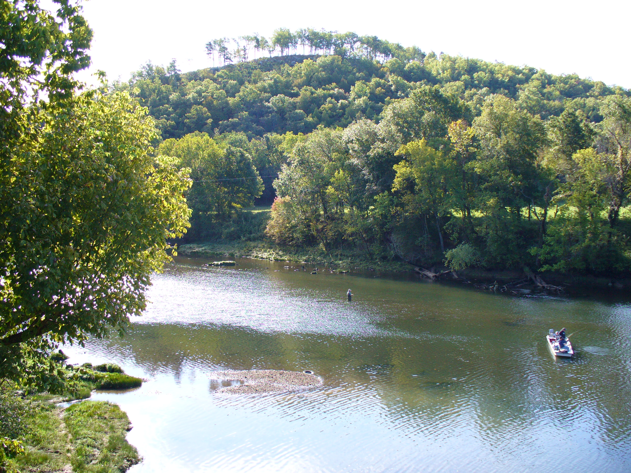
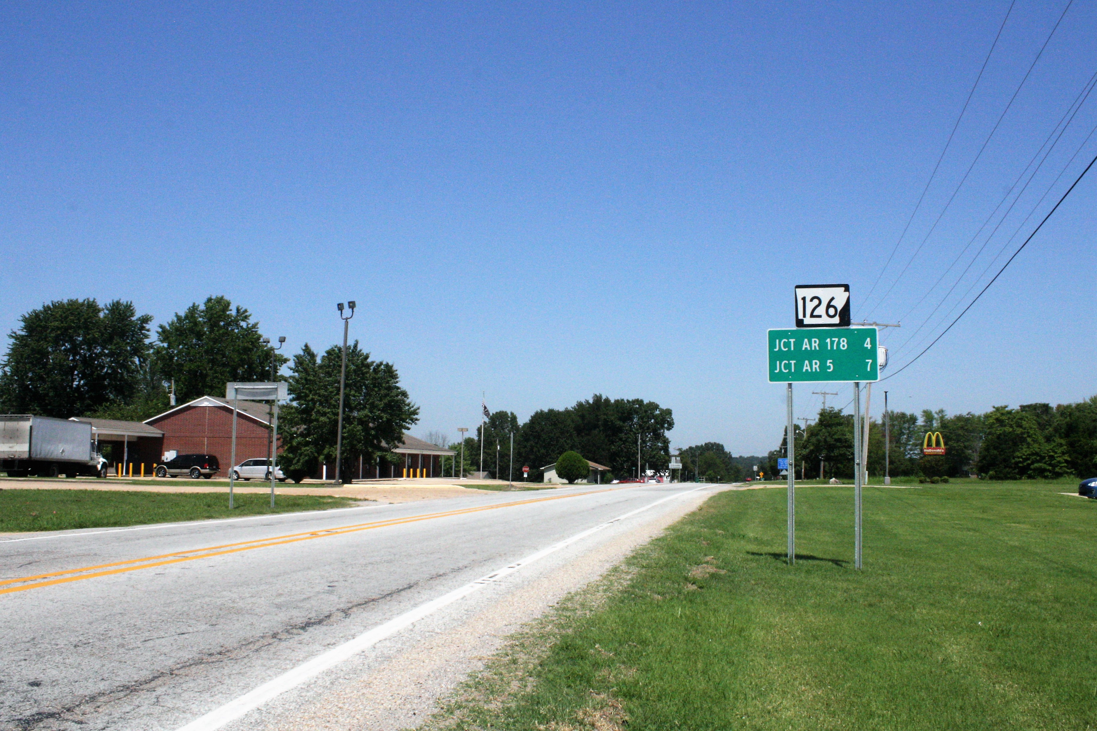
Buford, Arkansas
Buford is an unincorporated area, unincorporated community in Baxter County, Arkansas, Baxter County, Arkansas, United States. It is the location of (or is the nearest community to) Buford School Building, which is located on Arkansas Highway 126, AR 126 and is listed on the National Register of Historic Places. References Unincorporated communities in Baxter County, Arkansas Unincorporated communities in Arkansas {{BaxterCountyAR-geo-stub ... [...More Info...] [...Related Items...] OR: [Wikipedia] [Google] [Baidu] |
Unincorporated Area
An unincorporated area is a region that is not governed by a local municipal corporation. Widespread unincorporated communities and areas are a distinguishing feature of the United States and Canada. Most other countries of the world either have no unincorporated areas at all or these are very rare: typically remote, outlying, sparsely populated or List of uninhabited regions, uninhabited areas. By country Argentina In Argentina, the provinces of Chubut Province, Chubut, Córdoba Province (Argentina), Córdoba, Entre Ríos Province, Entre Ríos, Formosa Province, Formosa, Neuquén Province, Neuquén, Río Negro Province, Río Negro, San Luis Province, San Luis, Santa Cruz Province, Argentina, Santa Cruz, Santiago del Estero Province, Santiago del Estero, Tierra del Fuego Province, Argentina, Tierra del Fuego, and Tucumán Province, Tucumán have areas that are outside any municipality or commune. Australia Unlike many other countries, Australia has only local government in Aus ... [...More Info...] [...Related Items...] OR: [Wikipedia] [Google] [Baidu] |
Baxter County, Arkansas
Baxter County is a county in the U.S. state of Arkansas. As of the 2020 census, the county's population was 41,627. The county seat is Mountain Home. It is Arkansas's 66th county, formed on March 24, 1873, and named for Elisha Baxter, the tenth governor of Arkansas. The Mountain Home, AR, Micropolitan Statistical Area includes all of Baxter County. It is in the northern part of the state, bordering Missouri. It is commonly referred to as the Twin Lakes Area because it is bordered by two of Arkansas' largest lakes, Bull Shoals Lake and Norfork Lake. On its southern border is the White River, Norfork Tailwater and the Buffalo National River. Mountain Home, a small town whose origins date back to the early 19th century, is located in north-central Arkansas on a plateau in the Ozark Mountains. The natural environment of nearby Norfork and Bull Shoals lakes and the surrounding countryside has attracted tourists from around the country for many years. Educational institutions have ... [...More Info...] [...Related Items...] OR: [Wikipedia] [Google] [Baidu] |
Arkansas
Arkansas ( ) is a landlocked state in the South Central United States. It is bordered by Missouri to the north, Tennessee and Mississippi to the east, Louisiana to the south, and Texas and Oklahoma to the west. Its name is from the Osage language, a Dhegiha Siouan language, and referred to their relatives, the Quapaw people. The state's diverse geography ranges from the mountainous regions of the Ozark and Ouachita Mountains, which make up the U.S. Interior Highlands, to the densely forested land in the south known as the Arkansas Timberlands, to the eastern lowlands along the Mississippi River and the Arkansas Delta. Arkansas is the 29th largest by area and the 34th most populous state, with a population of just over 3 million at the 2020 census. The capital and most populous city is Little Rock, in the central part of the state, a hub for transportation, business, culture, and government. The northwestern corner of the state, including the Fayetteville–Springdale� ... [...More Info...] [...Related Items...] OR: [Wikipedia] [Google] [Baidu] |
Buford School Building
The Buford School Building is a historic school building on Arkansas Highway 126 in Buford, Arkansas. It is a single-story Plain Traditional structure with Craftsman touches, built in 1936 with funding from the Works Progress Administration. It is fashioned out of mortared gray limestone, with a metal roof and a concrete foundation. The main (east-facing) facade has a projecting gabled porch, supported by concrete piers. The roof is decorated with rafter ends and knee brackets. The building was used as a school until 1960, and has afterward seen other uses, including as a community center. The building was listed on the National Register of Historic Places in 1992. See also *National Register of Historic Places listings in Baxter County, Arkansas __NOTOC__ This is a list of the National Register of Historic Places listings in Baxter County, Arkansas. This is intended to be a complete list of the properties and districts on the National Register of Historic Places in Baxt ... [...More Info...] [...Related Items...] OR: [Wikipedia] [Google] [Baidu] |
Arkansas Highway 126
Highway 126 (AR 126, Ark. 126, and Hwy. 126) is a designation for two north–south state highways in Baxter County, Arkansas. A southern route of runs from Buffalo City north to US Route 62/ US Route 412 (US 62/US 412) near Mountain Home. A second route of begins at US 62/US 412 in Gassville and runs north to Highway 5/ Highway 178 at Midway. Route description Buffalo City to Mountain Home Highway 126 begins near the Marion County line at Buffalo City, situated at the confluence of the Buffalo River and White River. It heads north to Buford and before it meets US 62/ US 412, where it terminates near Mountain Home. The average daily traffic counts from the Arkansas State Highway and Transportation Department (AHTD) for 2010 show that a maximum of about 1500 vehicles per day (VPD) use the northern portion of Highway 126 nearest US 62/US 412, with the count dropping to around 660 VPD for po ... [...More Info...] [...Related Items...] OR: [Wikipedia] [Google] [Baidu] |
National Register Of Historic Places
The National Register of Historic Places (NRHP) is the United States federal government's official list of districts, sites, buildings, structures and objects deemed worthy of preservation for their historical significance or "great artistic value". A property listed in the National Register, or located within a National Register Historic District, may qualify for tax incentives derived from the total value of expenses incurred in preserving the property. The passage of the National Historic Preservation Act (NHPA) in 1966 established the National Register and the process for adding properties to it. Of the more than one and a half million properties on the National Register, 95,000 are listed individually. The remainder are contributing resources within historic districts. For most of its history, the National Register has been administered by the National Park Service (NPS), an agency within the U.S. Department of the Interior. Its goals are to help property owners and inte ... [...More Info...] [...Related Items...] OR: [Wikipedia] [Google] [Baidu] |
Unincorporated Communities In Baxter County, Arkansas
Unincorporated may refer to: * Unincorporated area, land not governed by a local municipality * Unincorporated entity, a type of organization * Unincorporated territories of the United States, territories under U.S. jurisdiction, to which Congress has determined that only select parts of the U.S. Constitution apply * Unincorporated association Unincorporated associations are one vehicle for people to cooperate towards a common goal. The range of possible unincorporated associations is nearly limitless, but typical examples are: :* An amateur football team who agree to hire a pitch onc ..., also known as voluntary association, groups organized to accomplish a purpose * ''Unincorporated'' (album), a 2001 album by Earl Harvin Trio {{disambig ... [...More Info...] [...Related Items...] OR: [Wikipedia] [Google] [Baidu] |


