|
Buffalo River (Minnesota)
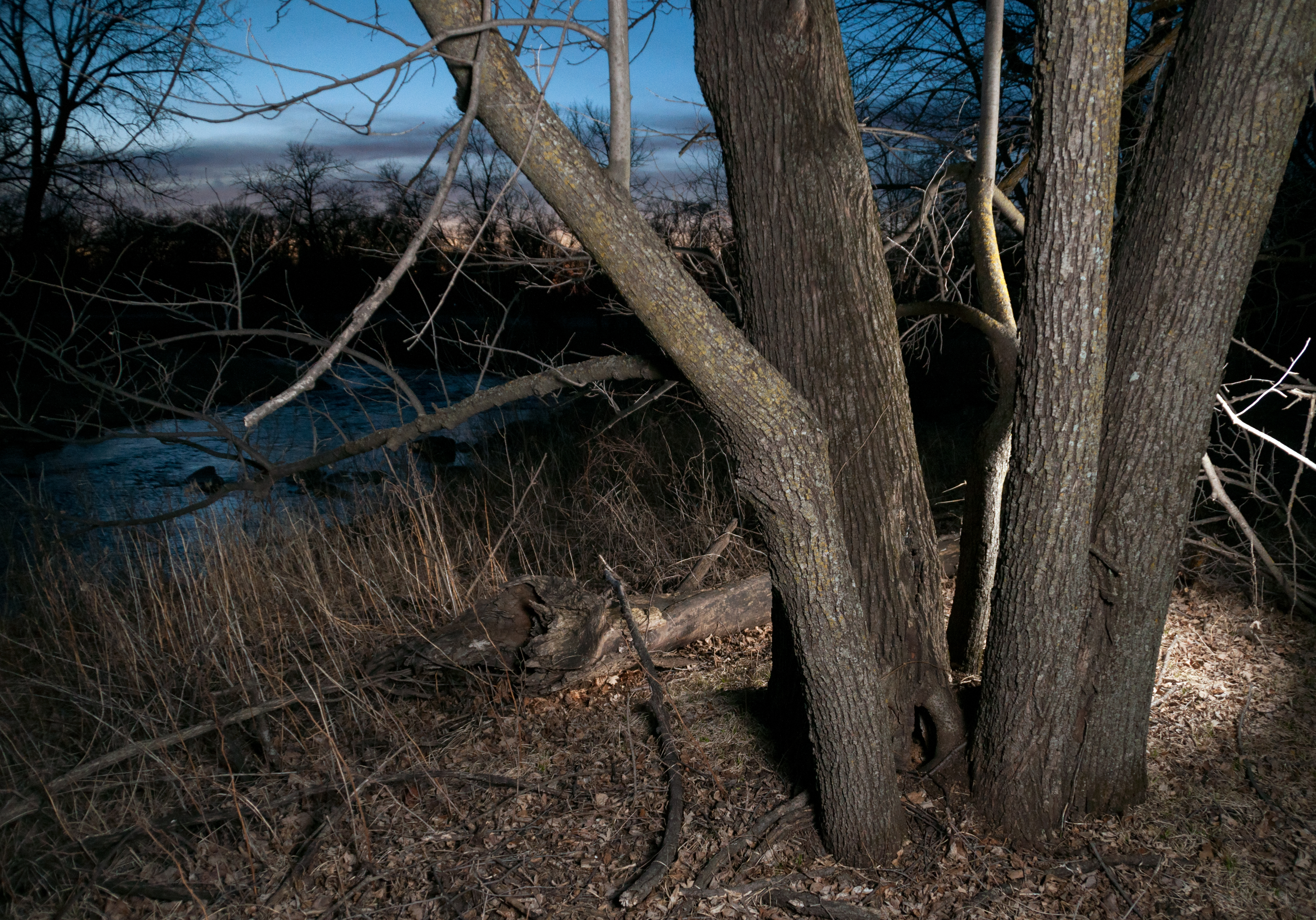
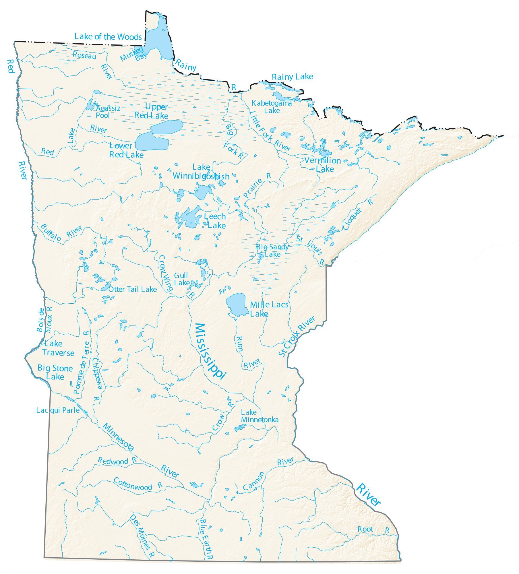
The Buffalo River is a tributary of the Red River of the North in western Minnesota in the United States. Via the Red River, Lake Winnipeg and the Nelson River, it is part of the watershed of Hudson Bay. The river drains an area of . Course The Buffalo River flows from Tamarac Lake in the Tamarac National Wildlife Refuge in central Becker County and flows generally westwardly into Clay County, past the towns of Hawley and Georgetown and through Buffalo River State Park. It flows into the Red River about west of Georgetown. The river's largest tributary is the South Branch Buffalo River, which rises in western Otter Tail County and flows initially westward into northern Wilkin County, then northward into Clay County. It joins the main stem of the river near Glyndon, Minnesota. See also * List of Minnesota rivers *List of longest streams of Minnesota Out of the 6,564 streams that flow through the U.S. State of Minnesota, there are 114 streams that are at least ... [...More Info...] [...Related Items...] OR: [Wikipedia] [Google] [Baidu] |
Buffalo River State Park (Minnesota)
Buffalo River State Park is a state park of Minnesota, United States, conserving a prairie bisected by the wooded banks of the Buffalo River. Together with the adjacent Bluestem Prairie Scientific and Natural Area co-owned by The Nature Conservancy and Minnesota's Department of Natural Resources, it protects one of the largest and highest-quality prairie remnants in Minnesota. It used to offer a man-made swimming pond close to the Fargo–Moorhead metropolitan area, however, that has not been open since 2018. Presently, it is most popular for its high quality educational programming, swimming in the Buffalo River, and picnicking. The park is located just off U.S. Route 10 in Clay County, east of Glyndon and east of Moorhead. Buffalo River State Park was established in 1937 and developed by the Works Progress Administration. Three buildings and three structures built in the National Park Service rustic style were added to the National Register of Historic Places in 198 ... [...More Info...] [...Related Items...] OR: [Wikipedia] [Google] [Baidu] |
Tamarac National Wildlife Refuge
Tamarac National Wildlife Refuge is a National Wildlife Refuge of the United States. It lies in the glacial lake country of northwestern Minnesota in Becker County, northeast of Detroit Lakes. It was established in 1938 as a refuge breeding ground for migratory birds and other wildlife. It covers . Local topography consists of rolling forested hills interspersed with lakes, rivers, marshes, bogs and shrub swamps. The token of the refuge is the tamarack, or tamarac tree. This unusual tree is a deciduous conifer which turns a brilliant gold before losing its needles each fall. Tamarac National Wildlife Refuge lies in the heart of one of the most diverse vegetative transition zones in North America, where northern hardwood forests, coniferous forests and the tallgrass prairie The tallgrass prairie is an ecosystem native to central North America. Historically, natural and anthropogenic fire, as well as grazing by large mammals (primarily bison) provided periodic disturbance ... [...More Info...] [...Related Items...] OR: [Wikipedia] [Google] [Baidu] |
Rivers Of Wilkin County, Minnesota
A river is a natural flowing watercourse, usually freshwater, flowing towards an ocean, sea, lake or another river. In some cases, a river flows into the ground and becomes dry at the end of its course without reaching another body of water. Small rivers can be referred to using names such as creek, brook, rivulet, and rill. There are no official definitions for the generic term river as applied to geographic features, although in some countries or communities a stream is defined by its size. Many names for small rivers are specific to geographic location; examples are "run" in some parts of the United States, "burn" in Scotland and northeast England, and "beck" in northern England. Sometimes a river is defined as being larger than a creek, but not always: the language is vague. Rivers are part of the water cycle. Water generally collects in a river from precipitation through a drainage basin from surface runoff and other sources such as groundwater recharge, springs, a ... [...More Info...] [...Related Items...] OR: [Wikipedia] [Google] [Baidu] |
Rivers Of Otter Tail County, Minnesota
A river is a natural flowing watercourse, usually freshwater, flowing towards an ocean, sea, lake or another river. In some cases, a river flows into the ground and becomes dry at the end of its course without reaching another body of water. Small rivers can be referred to using names such as Stream#Creek, creek, Stream#Brook, brook, rivulet, and rill. There are no official definitions for the generic term river as applied to Geographical feature, geographic features, although in some countries or communities a stream is defined by its size. Many names for small rivers are specific to geographic location; examples are "run" in some parts of the United States, "Burn (landform), burn" in Scotland and northeast England, and "beck" in northern England. Sometimes a river is defined as being larger than a creek, but not always: the language is vague. Rivers are part of the water cycle. Water generally collects in a river from Precipitation (meteorology), precipitation through a ... [...More Info...] [...Related Items...] OR: [Wikipedia] [Google] [Baidu] |
Rivers Of Clay County, Minnesota
A river is a natural flowing watercourse, usually freshwater, flowing towards an ocean, sea, lake or another river. In some cases, a river flows into the ground and becomes dry at the end of its course without reaching another body of water. Small rivers can be referred to using names such as creek, brook, rivulet, and rill. There are no official definitions for the generic term river as applied to geographic features, although in some countries or communities a stream is defined by its size. Many names for small rivers are specific to geographic location; examples are "run" in some parts of the United States, "burn" in Scotland and northeast England, and "beck" in northern England. Sometimes a river is defined as being larger than a creek, but not always: the language is vague. Rivers are part of the water cycle. Water generally collects in a river from precipitation through a drainage basin from surface runoff and other sources such as groundwater recharge, springs, an ... [...More Info...] [...Related Items...] OR: [Wikipedia] [Google] [Baidu] |
Rivers Of Becker County, Minnesota
A river is a natural flowing watercourse, usually freshwater, flowing towards an ocean, sea, lake or another river. In some cases, a river flows into the ground and becomes dry at the end of its course without reaching another body of water. Small rivers can be referred to using names such as creek, brook, rivulet, and rill. There are no official definitions for the generic term river as applied to geographic features, although in some countries or communities a stream is defined by its size. Many names for small rivers are specific to geographic location; examples are "run" in some parts of the United States, "burn" in Scotland and northeast England, and "beck" in northern England. Sometimes a river is defined as being larger than a creek, but not always: the language is vague. Rivers are part of the water cycle. Water generally collects in a river from precipitation through a drainage basin from surface runoff and other sources such as groundwater recharge, springs, a ... [...More Info...] [...Related Items...] OR: [Wikipedia] [Google] [Baidu] |
List Of Longest Streams Of Minnesota
Out of the 6,564 streams that flow through the U.S. State of Minnesota, there are 114 streams that are at least 30 miles long. The second longest river in the United States, the Mississippi River, originates in Minnesota before flowing south to the Gulf of Mexico. The longest river entirely within the state of Minnesota is the Minnesota River. Other rivers over 200 miles long include the Red River of the North, Des Moines River, Cedar River, Wapsipinicon River, Little Sioux River, and Roseau River. Sections of several of the longest rivers define sections of the Minnesota border. The Red River of the North forms the border with North Dakota to the west. The Bois de Sioux River forms the border with South Dakota to the west. The Mississippi River, St. Croix River, and the St. Louis River form the border with Wisconsin to the east. The Rainy River and Pigeon River form the border with Ontario, Canada to the north. Minnesota contains three major drainage basins/wate ... [...More Info...] [...Related Items...] OR: [Wikipedia] [Google] [Baidu] |
List Of Minnesota Rivers
Minnesota has 6,564 natural rivers and streams that cumulatively flow for . The Mississippi River begins its journey from its headwaters at Lake Itasca and crosses the Iowa border downstream. It is joined by the Minnesota River at Fort Snelling, by the St. Croix River near Hastings, by the Chippewa River at Wabasha, and by many smaller streams. The Red River, in the bed of glacial Lake Agassiz, drains the northwest part of the state northward toward Canada's Hudson Bay. By drainage basin (watershed) This list is arranged by drainage basin with respective tributaries indented under each larger stream's name.Note: In North America, the term watershed is commonly used to mean a drainage basin, though in other English-speaking countries, it is used only in its original sense, that of a drainage divide. The rivers and streams that flow through other states or Minnesota and other states are indicated, as well as the length of major rivers. Great Lakes drainage basin Lake ... [...More Info...] [...Related Items...] OR: [Wikipedia] [Google] [Baidu] |
Glyndon, Minnesota
Glyndon is a city in Clay County, Minnesota, United States. The population was 1,306 as of the 2020 census. History Glyndon was platted in 1872 when the railroad was extended to that point. A post office has been in operation in Glyndon since 1872. Notable people * Arthur L. Peterson, politician and educator, was born in Glyndon.'Wisconsin Blue Book 1954,' Biographical Sketch of Arthur L. Peterson, pg. 59 * Cal Larson, politician and businessman, was born in Glyndon. Geography According to the United States Census Bureau, the city has a total area of , all land. The city was named after Howard Glyndon, the pen name of poet Laura C. Redden Searing. U.S. Route 10 serves as a main route in the city. Demographics 2010 census As of the census of 2010, there were 1,394 people, 464 households, and 360 families living in the city. The population density was . There were 487 housing units at an average density of . The racial makeup of the city was 92.3% White, 1.2% African Amer ... [...More Info...] [...Related Items...] OR: [Wikipedia] [Google] [Baidu] |
Wilkin County, Minnesota
Wilkin County is a county in the U.S. state of Minnesota. As of the 2020 census, the population of Wilkin County was 6,506. Its county seat is Breckenridge. The county is named for Colonel Alexander Wilkin, a lawyer who served as Minnesota's U.S. marshal and was later killed in the Civil War. Wilkin County is part of the Wahpeton, ND–MN Micropolitan Statistical Area, which is included in the Fargo-Wahpeton, ND-MN Combined Statistical Area. History In 1849, the newly organized Minnesota Territory legislature authorized the creation of nine large counties across the territory. One of those, Pembina (later renamed as Kittson), contained areas that were partitioned off on 8 March 1858 to create Toombs County, named after Robert Toombs (1810–85) of Georgia. Toombs had been a member of the US House of Representatives (1845-1853), and US Senate (1853-1861). He became the Confederate secretary of state in 1861; this disloyalty to the Union displeased county residents, wh ... [...More Info...] [...Related Items...] OR: [Wikipedia] [Google] [Baidu] |
Otter Tail County, Minnesota
Otter Tail County is a county in the U.S. state of Minnesota. As of the 2020 census, its population was 60,081. Its county seat is Fergus Falls. Otter Tail County comprises the Fergus Falls micropolitan statistical area. With 1,048 lakes in its borders, Otter Tail County has more lakes than any other county in the United States. History Native Americans used the area for hunting and fishing, and had permanent dwelling sites. Two Native American tribes were in constant conflict. The Dakota (Sioux) were being pushed from their home area by the Ojibwa (Chippewa) during the late 18th and early 19th centuries. Burial mounds and artifacts can still be found. Some of the oldest Native American remains were found near Pelican Rapids, Minnesota. The remains, nicknamed Minnesota Girl, were dated at about 11,000 BC. The first white men to enter the county were French and British fur traders. Efforts were made to set up trading posts on the Leaf Lakes and Otter Tail Lake. In the late ... [...More Info...] [...Related Items...] OR: [Wikipedia] [Google] [Baidu] |
Hawley, Minnesota
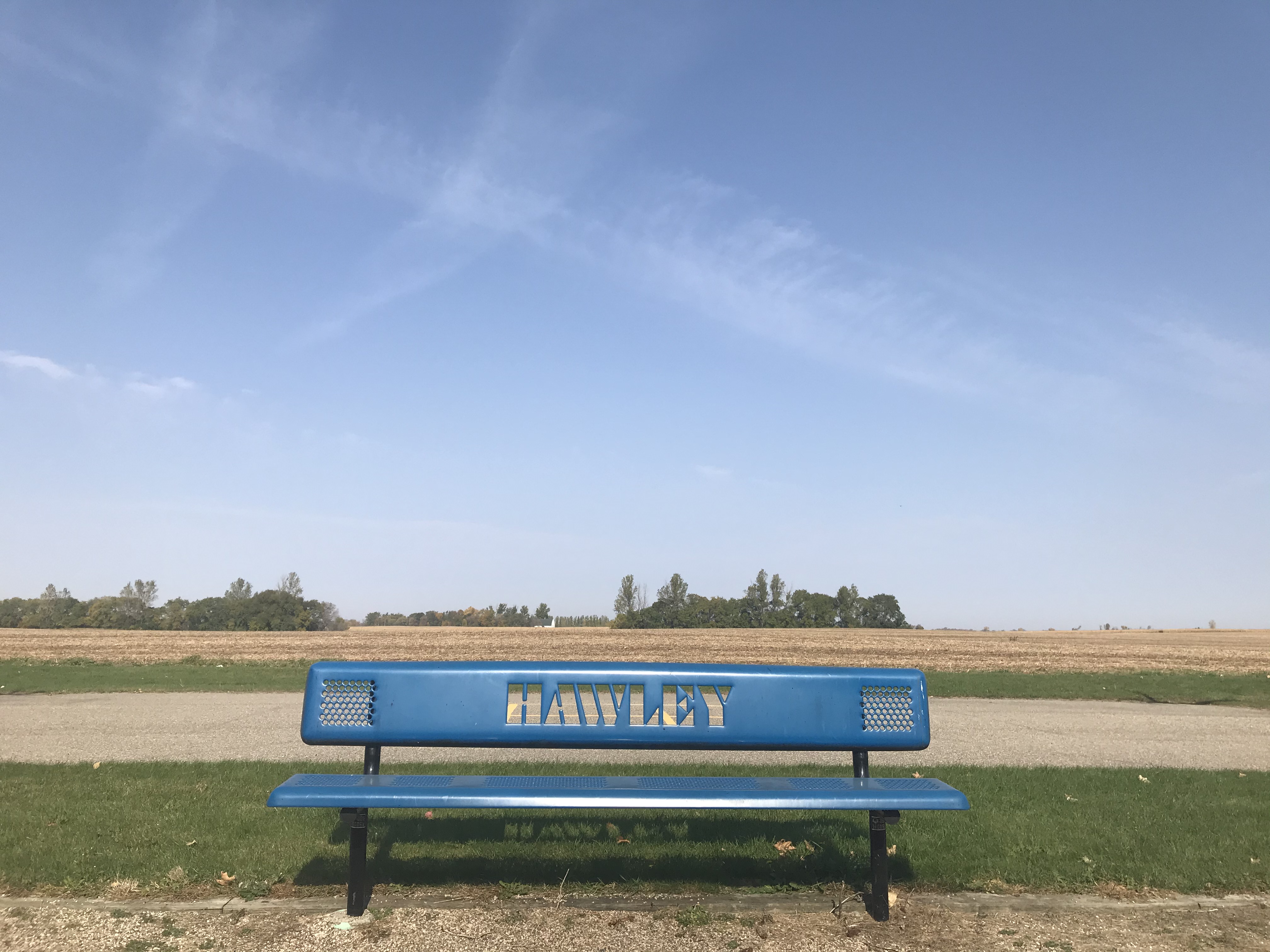
Hawley is a town in Clay County, Minnesota, Clay County, Minnesota, United States, along the Buffalo River (Minnesota), Buffalo River. The population was 2,219 at the 2020 United States census, 2020 census. The town went through six quick name changes after 1871 until, in 1872, it was finally named after Thomas Hawley Canfield, an officer in the Northern Pacific Railway, which laid out the town. General Custer visited the town in 1876. The incident was recalled in a short film entitled Incident at Hawley by WCCO Television in Minneapolis that aired during America's bicentennial year of 1976. In 2007, the town started an Advertising campaign, ad campaign called "Hawley Would" (a homophone, homophonic word play, play on words of "Hollywood (film industry), Hollywood"). The campaign focuses on both the small-town atmosphere of Hawley and its proximity to the Fargo-Moorhead metropolitan area; Hawley is 22 miles from downtown Fargo, North Dakota, Fargo. Hawley was at one time sett ... [...More Info...] [...Related Items...] OR: [Wikipedia] [Google] [Baidu] |


