|
Broxtowe (wapentake)
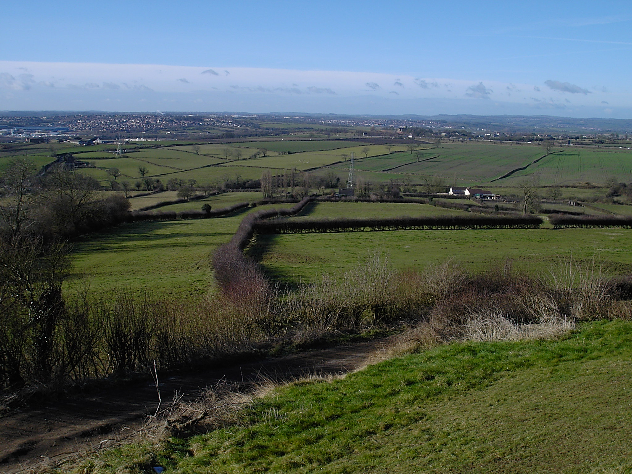
Broxtowe was a wapentake (equivalent to a hundred) of the ancient county of Nottinghamshire, England. It was in the west of the county covering the parishes of Annesley, Arnold, Attenborough, Basford, Beeston, Bestwood Park, Bilborough, Bramcote, Brewhouse Yard, Bulwell, Chilwell, Cossall, Eastwood, Felley, Fulwood, Greasley, Hucknall Torkard, Huthwaite, Kirkby-in-Ashfield, Lenton, Linby, Mansfield, Mansfield Woodhouse, Newstead, Nuthall, Papplewick, Radford, Selston, Skegby, Standard Hill, Stapleford, Strelley, Sutton in Ashfield, Teversal, Toton, Trowell and Wollaton. Contained within the boundaries of the wapentake is the Borough of Broxtowe, created in 1974. Other current local government areas within the wapentake are Ashfield, Mansfield, part of the City of Nottingham and small parts of Gedling and Newark and Sherwood Newark and Sherwood is a local government district and is the largest district in Nottinghamshire, England. The district was formed on 1 ... [...More Info...] [...Related Items...] OR: [Wikipedia] [Google] [Baidu] |
Nottinghamshire Administrative Map 1832
Nottinghamshire (; abbreviated Notts.) is a landlocked county in the East Midlands region of England, bordering South Yorkshire to the north-west, Lincolnshire to the east, Leicestershire to the south, and Derbyshire to the west. The traditional county town is Nottingham, though the county council is based at County Hall in West Bridgford in the borough of Rushcliffe, at a site facing Nottingham over the River Trent. The districts of Nottinghamshire are Ashfield, Bassetlaw, Broxtowe, Gedling, Mansfield, Newark and Sherwood, and Rushcliffe. The City of Nottingham was administratively part of Nottinghamshire between 1974 and 1998, but is now a unitary authority, remaining part of Nottinghamshire for ceremonial purposes. The county saw a minor change in its coverage as Finningley was moved from the county into South Yorkshire and is part of the City of Doncaster. This is also where the now-closed Doncaster Sheffield Airport is located (formerly Robin Hood Airport). In 2017, ... [...More Info...] [...Related Items...] OR: [Wikipedia] [Google] [Baidu] |
Chilwell
Chilwell is a village and residential suburb of Nottingham, in the borough of Broxtowe of Nottinghamshire, west of Nottingham city. Until 1974 it was part of Beeston and Stapleford Urban District, having been in Stapleford Rural District until 1935. History Roman Empire, Roman buildings, pottery and coins have been found in Chilwell. Chilwell was originally a Hamlet (place), hamlet on the road from Nottingham to Ashby-de-la-Zouch. It is mentioned in the Domesday Book, but along with Toton it became part of the parish of Attenborough, Nottinghamshire, Attenborough. Suburban development spread gradually from Beeston, Nottinghamshire, Beeston along Chilwell High Road. The area's population grew substantially during World War I, when most of the area of level ground between Chilwell and Toton was occupied by the National Shell Filling Factory, Chilwell, National Shell Filling Factory No. 6 and the original direct route between Chilwell and Toton became a gated military road, now k ... [...More Info...] [...Related Items...] OR: [Wikipedia] [Google] [Baidu] |
Newstead, Nottinghamshire
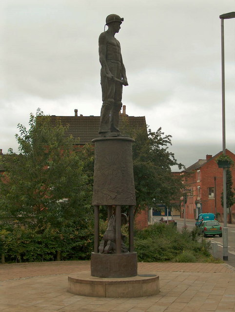
Newstead is a village and civil parish in Nottinghamshire, England in the borough of Gedling.OS Explorer Map 270: Sherwood Forest: (1:25 000): It is situated between the city of Nottingham and the towns of Kirkby-in-Ashfield, Sutton-in-Ashfield and Hucknall. A former coal mining village, and previously called Newstead Colliery Village. Lord Byron, the poet, lived at nearby Newstead Abbey. The parish is part of Nottinghamshire's Hidden Valleys. It has a population of 1,194, increasing to 1,312 at the 2011 census. Newstead Primary School is a state run primary school for children aged 5 to 11. Newstead railway station is on the Robin Hood Line, which runs from Nottingham to Worksop. Newstead Colliery Village The colliery village was built at Newstead in the late-19th century for miners at Newstead and Annesley Collieries. Newstead Colliery operated between 1874 and 1987. The former mining location has now been redeveloped into a nature reserve and business park. Hazelford Wa ... [...More Info...] [...Related Items...] OR: [Wikipedia] [Google] [Baidu] |
Mansfield Woodhouse
Mansfield Woodhouse is a settlement about north of Mansfield in Nottinghamshire, England, along the main A60 road in a wide, low valley between the Rivers Maun and Meden.OS Explorer Map 270: Sherwood Forest: (1:25 000): Founded before the Roman Empire, it is noteworthy for its stone-built centre. Originally separate with its own urban district council, after continuous development it has become a large part of the Mansfield Urban Area. After the Local Government Act 1972, Mansfield Woodhouse and Warsop Urban District Councils merged with the Municipal Borough of Mansfield on 1 April 1974, to form a new local government area known as Mansfield District Council. Mansfield Woodhouse's economy was traditionally based on the quarrying, mining, farming and textile industries. History The Romans had a fortress and a civilian settlement in the area (remains of a Roman villa were famously found here by Hayman Rooke in the 1780s). The area declined after the Romans left but by the 13t ... [...More Info...] [...Related Items...] OR: [Wikipedia] [Google] [Baidu] |
Mansfield
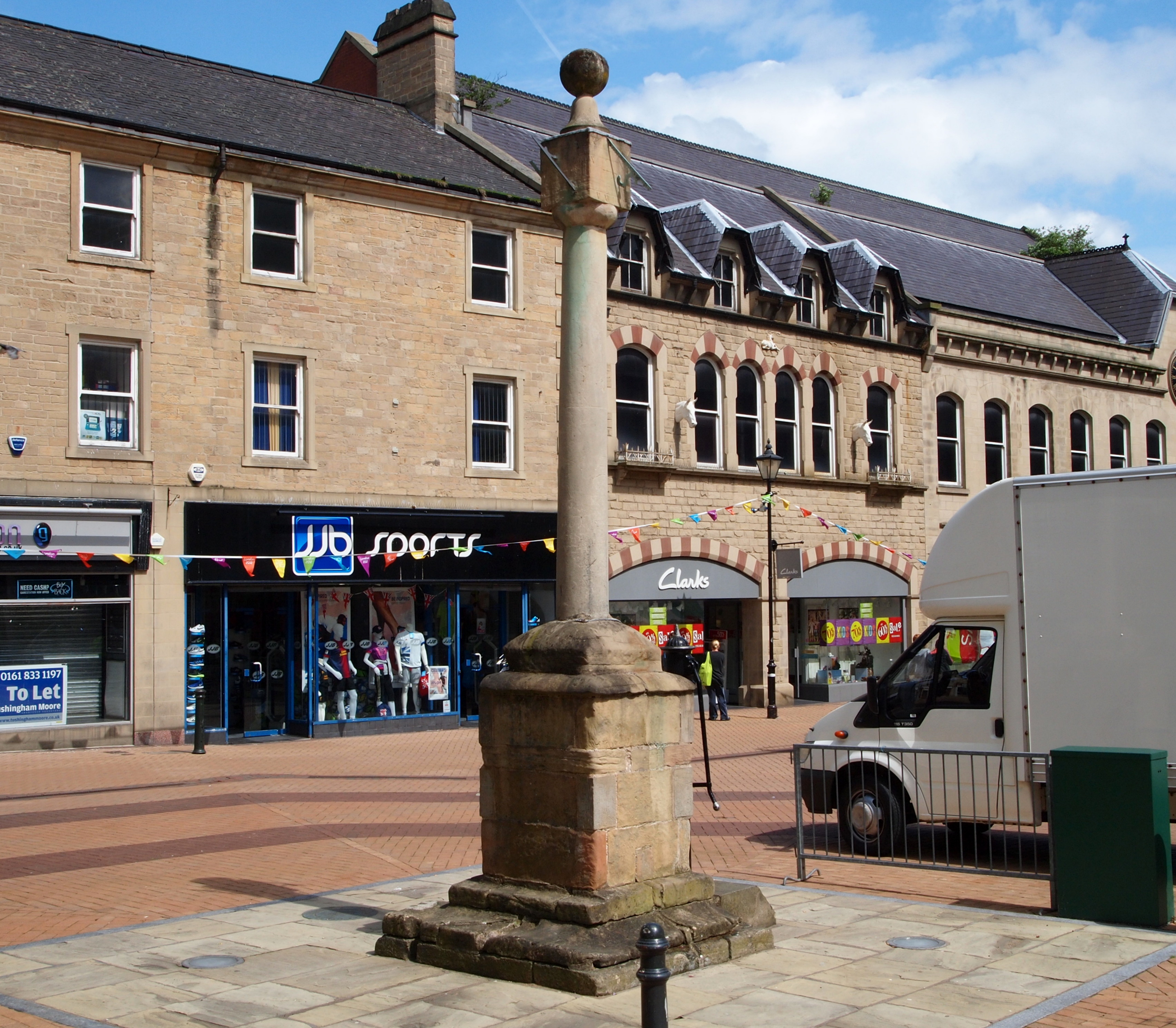
Mansfield is a market town and the administrative centre of Mansfield District in Nottinghamshire, England. It is the largest town in the wider Mansfield Urban Area (followed by Sutton-in-Ashfield). It gained the Royal Charter of a market town in 1227. The town lies in the Maun Valley, north of Nottingham and near Sutton-in-Ashfield. Most of the 109,000 population live in the town itself (including Mansfield Woodhouse), with Warsop as a secondary centre. Mansfield is the one local authority in Nottinghamshire with a publicly elected mayor. History Roman to Mediaeval Period Settlement dates to the Roman period. Major Hayman Rooke in 1787 discovered a villa between Mansfield Woodhouse and Pleasley; a cache of denarii was found near King's Mill in 1849. Early English royalty stayed there; Mercian Kings used it as a base to hunt in Sherwood Forest. The Royal Manor of Mansfield was held by the King. In 1042 Edward the Confessor possessed a manor in Mansfield. William the Conqu ... [...More Info...] [...Related Items...] OR: [Wikipedia] [Google] [Baidu] |
Linby
Linby is a small village and civil parish in Nottinghamshire, England. The nearest town is Hucknall which is immediately to the south-west. The village grew up around the mills on the River Leen, from which Linby's name is derived. Small streams known as Linby Docks run on both sides of the main street. The population of the civil parish at the 2011 census was 232. History In the Imperial Gazetteer of England and Wales (1870–72) John Marius Wilson described Linby: The local parish church is dedicated to St. Michael and is a Grade II* listed building. Containing a number of features which date to the 13th century, the church has been extended several times, including restorations in the late 19th and early 20th centuries. There are two crosses in the village. The "Top Cross", a Grade II listed structure, is dated to the 14th century and was restored in the late 19th century. The "Bottom Cross" is inscribed with the date 1663, and may have been dedicated to the restoration ... [...More Info...] [...Related Items...] OR: [Wikipedia] [Google] [Baidu] |
Lenton, Nottingham
Lenton is an area of the City of Nottingham, in the county of Nottinghamshire, England. Most of Lenton is situated in the electoral ward of 'Dunkirk and Lenton', with a small part in 'Wollaton East and Lenton Park'. Originally a separate agricultural village, Lenton became part of the town of Nottingham in 1877, when the town's boundaries were enlarged. Nottingham became a city as part of the Diamond Jubilee celebrations of Queen Victoria in 1897. History The name ''Lenton'' derives from the River Leen, which runs nearby. Lenton and its mills on the Leen get a mention in the Domesday Book in the late 11th century: "In Lentune 4 sochmen and 4 bordars have two ploughs and a mill." Lenton Priory Lenton Priory was founded in the village by William Peverel at the beginning of the 12th century. A Cluniac monastery, the priory was home to mostly French monks until the late 14th-century when it was freed from the control of its French mother-house, Cluny Abbey. From the 13th-centur ... [...More Info...] [...Related Items...] OR: [Wikipedia] [Google] [Baidu] |
Kirkby-in-Ashfield
Kirkby-in-Ashfield is a market town in the Ashfield District of Nottinghamshire, England. With a population of 25,265 (according to the 2001 National Census), it is a part of the wider Mansfield Urban Area. The Head Offices of Ashfield District Council are located on Urban Road in the town centre. Overview Kirkby-in-Ashfield lies on the eastern edge of the Erewash Valley which separates Nottinghamshire and Derbyshire. Kirkby, as it is locally known, was originally a Danish settlement (Kirk-by translates as 'Church Town' in Danish) and is a collection of small villages including Old Kirkby, The Folly (East Kirkby), Nuncargate and Kirkby Woodhouse. It is mentioned in the ''Domesday Book'' and has two main churches: St Wilfrid's, a Norman church, which was gutted by fire on 6 January 1907 but quickly re-built; and St Thomas', built in the early 1910s in neo-gothic style. History Kirkby Castle Kirkby Castle is said to have dated back to at least the 13th Century. Its owner i ... [...More Info...] [...Related Items...] OR: [Wikipedia] [Google] [Baidu] |
Huthwaite
Huthwaite is a village in Nottinghamshire, England, located to the west of Mansfield, close to the Derbyshire boundary. It is in the Huthwaite and Brierley ward of Ashfield District Council. Before 1907 the village was known as Hucknall-under-Huthwaite and also Dirty Hucknall. Derivation of name The name Huthwaite is derived from Old English plus Norse elements—hoh is from ''haugr'' an Old Norse word for a hill and thwaite means a clearing -so, literally, a clearing on a hill spur. The former Hucknall element refers to Hucca's heath or angle of land and is shared with the present day Hucknall near Nottingham and Ault Hucknall in Derbyshire. Shops and services Huthwaite has several convenience stores located in the centre of the village. Other services include a post office, greengrocer, newsagent and a few other miscellaneous shops, as well as three public houses. Highest point Strawberry Bank (OS grid ref SK4659) is the disputed highest point in Nottinghamshire. It is bel ... [...More Info...] [...Related Items...] OR: [Wikipedia] [Google] [Baidu] |
Hucknall
Hucknall, formerly Hucknall Torkard, is a market town in the Ashfield district of Nottinghamshire, England. It lies 7 miles north of Nottingham, 7 miles south-east of Kirkby-in-Ashfield, 9 miles from Mansfield and 10 miles south of Sutton-in-Ashfield. It is the second largest town in the Ashfield district after Sutton-in-Ashfield. Hucknall is north-west of Nottingham, on the west bank of the Leen Valley, on land which rises from the Trent Valley in the south and extends northwards to Kirkby-in-Ashfield. The Whyburn or Town Brook flows through the town centre. Farleys Brook marks its southern boundary. Due to the mass amount of housing and industrial estates along the southside of the town. Hucknall is contiguous with the wider City of Nottingham with the suburbs of Bulwell and Bestwood Village both to the south and southeast. The town's highest point is Long Hill, at above sea level, with views over the city and Trent Valley, which descends to 22–24 metres (72–79&nbs ... [...More Info...] [...Related Items...] OR: [Wikipedia] [Google] [Baidu] |
Greasley
Greasley is a civil parish north west of Nottingham in Nottinghamshire, England. Although it is thought there was once a village called Greasley, there is no settlement of that name today as it was destroyed by the Earl of Rutland. The built up areas in the parish are Beauvale, Giltbrook, Moorgreen (often confused with Greasley), Newthorpe, Watnall and parts of Eastwood, Kimberley and Nuthall. There is also a small hamlet known as Bog-End. The parish is one of the largest in Nottinghamshire at , and the 2001 UK Census reported it had a total population of 10,467, increasing to 11,014 at the 2011 Census. History Greasley (then ''Griseleia'') is mentioned in the Domesday book as belonging to William PeverelWilliam was given a large number of manors in Nottinghamshire including Chilwell, Toton, Colwick and Kimberley. and being worth ten shillings. The book includes reference to a church, a priest and woodland pasture.''Domesday Book: A Complete Translation''. London: Penguin, 20 ... [...More Info...] [...Related Items...] OR: [Wikipedia] [Google] [Baidu] |


_Southbound_freight_passing_under_the_Great_Central_main_line_geograph-2294604-by-Ben-Brooksbank.jpg)


