|
Brownsville, Jackson County, Illinois
Brownsville is a ghost town in Jackson County, Illinois, United States. Brownsville, located close to a salt creek that empties into the Big Muddy River The Big Muddy River is a river in southern Illinois. It joins the Mississippi River just south of Grand Tower. The Big Muddy has been dammed near Benton, forming Rend Lake. The Big Muddy has a mud bottom for most of its length. Hydrography ..., is the former county seat of Jackson County. It is due west of Murphysboro and south of Illinois Route 149. It was moved when the courthouse and downtown burned to the ground in 1843, and the county seat was then moved to Murphysboro. References Geography of Jackson County, Illinois Ghost towns in Illinois Southern Illinois Former county seats in Illinois {{JacksonCountyIL-geo-stub ... [...More Info...] [...Related Items...] OR: [Wikipedia] [Google] [Baidu] |
Ghost Town
A ghost town, deserted city, extinct town, or abandoned city is an abandoned settlement, usually one that contains substantial visible remaining buildings and infrastructure such as roads. A town often becomes a ghost town because the economic activity that supported it (usually industrial or agricultural) has failed or ended for any reason (e.g. a host ore deposit exhausted by mining). The town may have also declined because of natural or human-caused disasters such as floods, prolonged Drought, droughts, extreme heat or extreme cold, government actions, uncontrolled lawlessness, war, pollution, or nuclear and radiation accidents and incidents, nuclear and radiation-related accidents and incidents. The term can sometimes refer to cities, towns, and neighborhoods that, though still populated, are significantly less so than in past years; for example, those affected by high levels of unemployment and dereliction. Some ghost towns, especially those that preserve period-specific ... [...More Info...] [...Related Items...] OR: [Wikipedia] [Google] [Baidu] |
Jackson County, Illinois
Jackson County is a county located in the U.S. state of Illinois with a population of 52,974 at the 2020 census, the county is located 98 miles southeast of St. Louis. Its county seat is Murphysboro, and its most populous city is Carbondale, home to the main campus of Southern Illinois University. The county was incorporated on January 10, 1816, and named for Andrew Jackson. The community of Brownsville served as the fledgling county's first seat. Jackson County is included in the Carbondale- Marion, IL Metropolitan Statistical Area. It is located in the southern portion of Illinois known locally as " Little Egypt". History Human occupation of Jackson County began about 11,500 years ago. Extensive documentation of the area's indigenous peoples is ongoing. Exploration from the European explorers began with the Joliet- Marquette exploration along the Mississippi River. It was not until the 18th and 19th century when pioneer farmers began to settle in the area's inexpensive l ... [...More Info...] [...Related Items...] OR: [Wikipedia] [Google] [Baidu] |
Illinois
Illinois ( ) is a U.S. state, state in the Midwestern United States, Midwestern United States. It borders on Lake Michigan to its northeast, the Mississippi River to its west, and the Wabash River, Wabash and Ohio River, Ohio rivers to its south. Of the fifty U.S. states, Illinois has the List of U.S. states and territories by GDP, fifth-largest gross domestic product (GDP), the List of U.S. states and territories by population, sixth-largest population, and the List of U.S. states and territories by area, 25th-most land area. Its capital city is Springfield, Illinois, Springfield in the center of the state, and the state's largest city is Chicago in the northeast. Present-day Illinois was inhabited by Indigenous peoples of the Americas#History, Indigenous cultures for thousands of years. The French were the first Europeans to arrive, settling near the Mississippi and Illinois River, Illinois rivers in the 17th century Illinois Country, as part of their sprawling colony of ... [...More Info...] [...Related Items...] OR: [Wikipedia] [Google] [Baidu] |
United States
The United States of America (USA), also known as the United States (U.S.) or America, is a country primarily located in North America. It is a federal republic of 50 U.S. state, states and a federal capital district, Washington, D.C. The 48 contiguous states border Canada to the north and Mexico to the south, with the semi-exclave of Alaska in the northwest and the archipelago of Hawaii in the Pacific Ocean. The United States asserts sovereignty over five Territories of the United States, major island territories and United States Minor Outlying Islands, various uninhabited islands in Oceania and the Caribbean. It is a megadiverse country, with the world's List of countries and dependencies by area, third-largest land area and List of countries and dependencies by population, third-largest population, exceeding 340 million. Its three Metropolitan statistical areas by population, largest metropolitan areas are New York metropolitan area, New York, Greater Los Angeles, Los Angel ... [...More Info...] [...Related Items...] OR: [Wikipedia] [Google] [Baidu] |
Big Muddy River
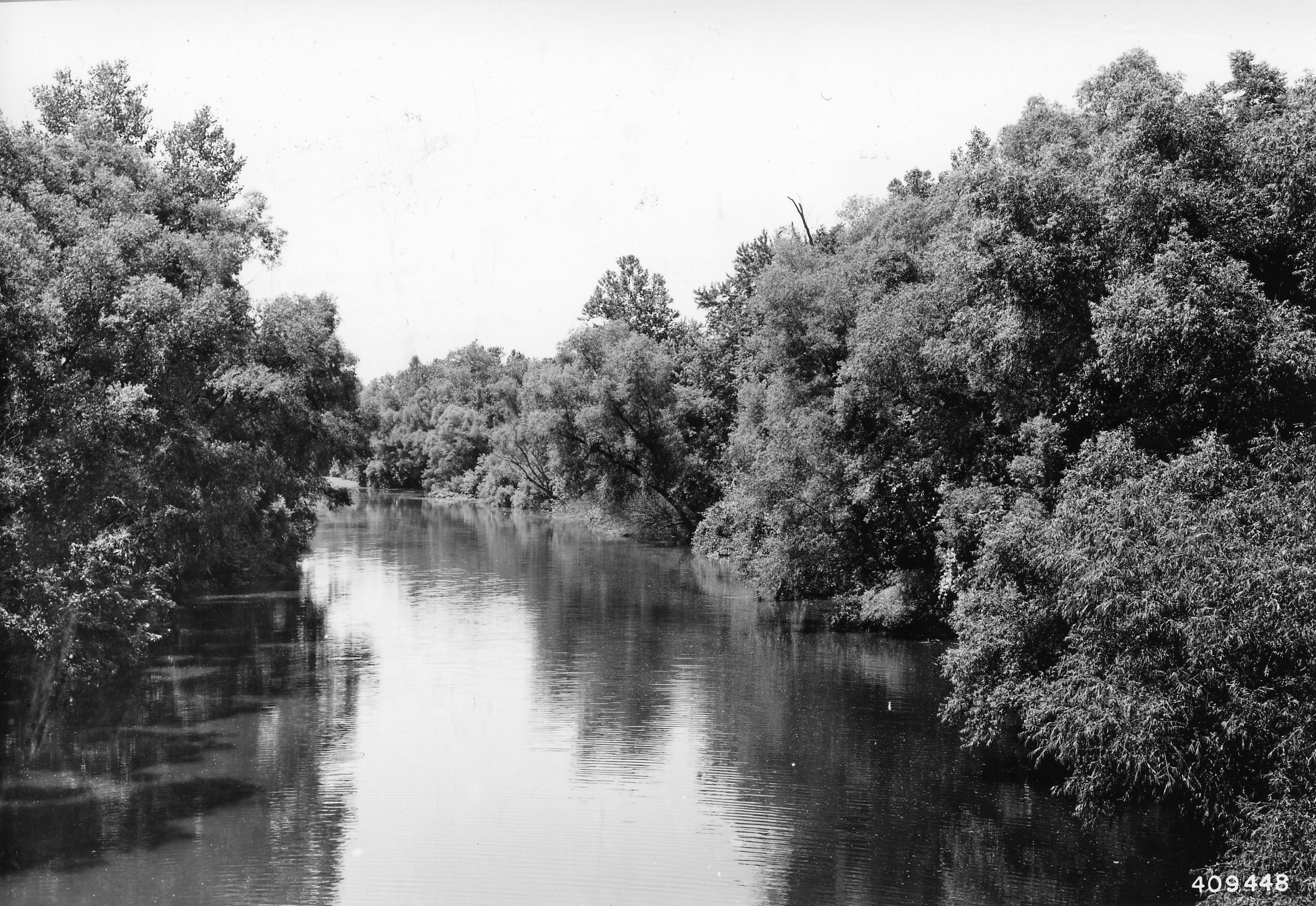
The Big Muddy River is a river in southern Illinois. It joins the Mississippi River just south of Grand Tower. The Big Muddy has been dammed near Benton, forming Rend Lake. The Big Muddy has a mud bottom for most of its length. Hydrography The Big Muddy drains a watershed. In 1995, water quality was assessed as "fair" to "good". Pollution sources include agricultural practices, mining and municipalities. The watershed of the Big Muddy was covered by the Illinoian Glacier about 300,000 to 132,000 years before present. The Big Muddy basin formed after the retreat of that glacier. The Big Muddy was not covered by the Wisconsin Glacier, about 70,000 to 10,000 years before present. However, during the melting of that glacier, the level of the Mississippi River was much higher. Water backed up into the Big Muddy Basin, forming a lake much like the artificial Rend Lake but covering a larger area. The ancient lake silted in, forming a flat bottom. After the melting of the Wiscon ... [...More Info...] [...Related Items...] OR: [Wikipedia] [Google] [Baidu] |
Murphysboro, Illinois
Murphysboro is a city in and the county seat of Jackson County, Illinois, United States. The population was 7,093 at the 2020 census. The city is part of the Metro Lakeland area. The mayor of Murphysboro is Will Stephens. The government consists of the mayor and 10 city aldermen. Geography According to the 2021 census gazetteer files, Murphysboro has a total area of , of which (or 98.41%) is land and (or 1.59%) is water. The city is located southeast of Kinkaid Lake. Although Murphysboro is only 10 miles east of the Mississippi River, the nearest access point to the river is in Grand Tower, a roughly 30 minute drive southwest. As part of the humid subtropical climate (Köppen climate classification ''Cfa''), a small number of cold hardy palm trees are able to grow in Murphysboro which can live year-round, and may be found sparingly around the municipality. History Established in September 1843, Murphysboro is the second county seat of Jackson County. The town's creation ... [...More Info...] [...Related Items...] OR: [Wikipedia] [Google] [Baidu] |
Illinois Route 149
Illinois Route 149 is an east–west state road in southern Illinois. It runs from Illinois Route 3 near Grimsby east to Illinois Route 34 Illinois Route 34 (IL 34) is a north–south state road in southern Illinois. It runs from a former ferry crossing to Kentucky Route 297 across the Ohio River in Rosiclare to Illinois Routes 14/ 37 in Benton. This is a distance of . R ... in Thompsonville. This is a distance of . Route description Illinois 149 runs east–west through downtown Murphysboro and to the north of Carbondale. It also runs to the north of Herrin. West of Carbondale, Illinois 149 overlaps Illinois Routes 13 and 127. Through West Frankfort, Illinois 149 doubles as "Main Street." History SBI Route 149 originally ran from Hurst to Thompsonville. On April 1, 1963, IL 149 was extended east over IL 144. Major intersections References External links *{{commons category-inline 149 Transportation in Jackson ... [...More Info...] [...Related Items...] OR: [Wikipedia] [Google] [Baidu] |
Geography Of Jackson County, Illinois
Geography (from Ancient Greek ; combining 'Earth' and 'write', literally 'Earth writing') is the study of the lands, features, inhabitants, and phenomena of Earth. Geography is an all-encompassing discipline that seeks an understanding of Earth and its human and natural complexities—not merely where objects are, but also how they have changed and come to be. While geography is specific to Earth, many concepts can be applied more broadly to other celestial bodies in the field of planetary science. Geography has been called "a bridge between natural science and social science disciplines." Origins of many of the concepts in geography can be traced to Greek Eratosthenes of Cyrene, who may have coined the term "geographia" (). The first recorded use of the word γεωγραφία was as the title of a book by Greek scholar Claudius Ptolemy (100 – 170 AD). This work created the so-called "Ptolemaic tradition" of geography, which included "Ptolemaic cartographic theory." ... [...More Info...] [...Related Items...] OR: [Wikipedia] [Google] [Baidu] |
Ghost Towns In Illinois
In folklore, a ghost is the soul or Spirit (supernatural entity), spirit of a dead Human, person or non-human animal that is believed by some people to be able to appear to the living. In ghostlore, descriptions of ghosts vary widely, from an invisible presence to translucent or barely visible wispy shapes to realistic, lifelike forms. The deliberate attempt to contact the spirit of a deceased person is known as necromancy, or in Kardecist spiritism, spiritism as a ''séance''. Other terms associated with it are apparition, haunt, haint, phantom, poltergeist, Shade (mythology), shade, specter, spirit, spook, wraith, demon, and ghoul. The belief in the existence of an afterlife, as well as manifestations of the spirits of the dead, is widespread, dating back to animism or ancestor worship in pre-literate cultures. Certain religious practices—funeral rites, exorcisms, and some practices of Spiritualism (beliefs), spiritualism and ritual magic—are specifically designed to re ... [...More Info...] [...Related Items...] OR: [Wikipedia] [Google] [Baidu] |
Southern Illinois
Southern Illinois is a region of the U.S. state of Illinois comprising the southern third of the state, principally south of Interstate 70. Part of downstate Illinois, it is bordered by the two List of U.S. rivers by discharge, most voluminous rivers in the United States: the Mississippi River, Mississippi below its connection with the Missouri River to the west and the Ohio River to the east and south, with the tributary Wabash River, extending the southeastern border. Some areas of Southern Illinois are known historically as Little Egypt. Although part of the Midwestern United States, Midwest, certain areas of Southern Illinois more closely align culturally with neighboring parts of the Upland South (i.e. Kentucky, Tennessee, Southern Indiana, and Missouri). Southern Illinois' most populated city is Belleville, Illinois, Belleville at 44,478. Other principal cities include Alton, Illinois, Alton, Centralia, Illinois, Centralia, Collinsville, Illinois, Collinsville, Edwardsville, ... [...More Info...] [...Related Items...] OR: [Wikipedia] [Google] [Baidu] |


