|
Browns Creek Bike Path
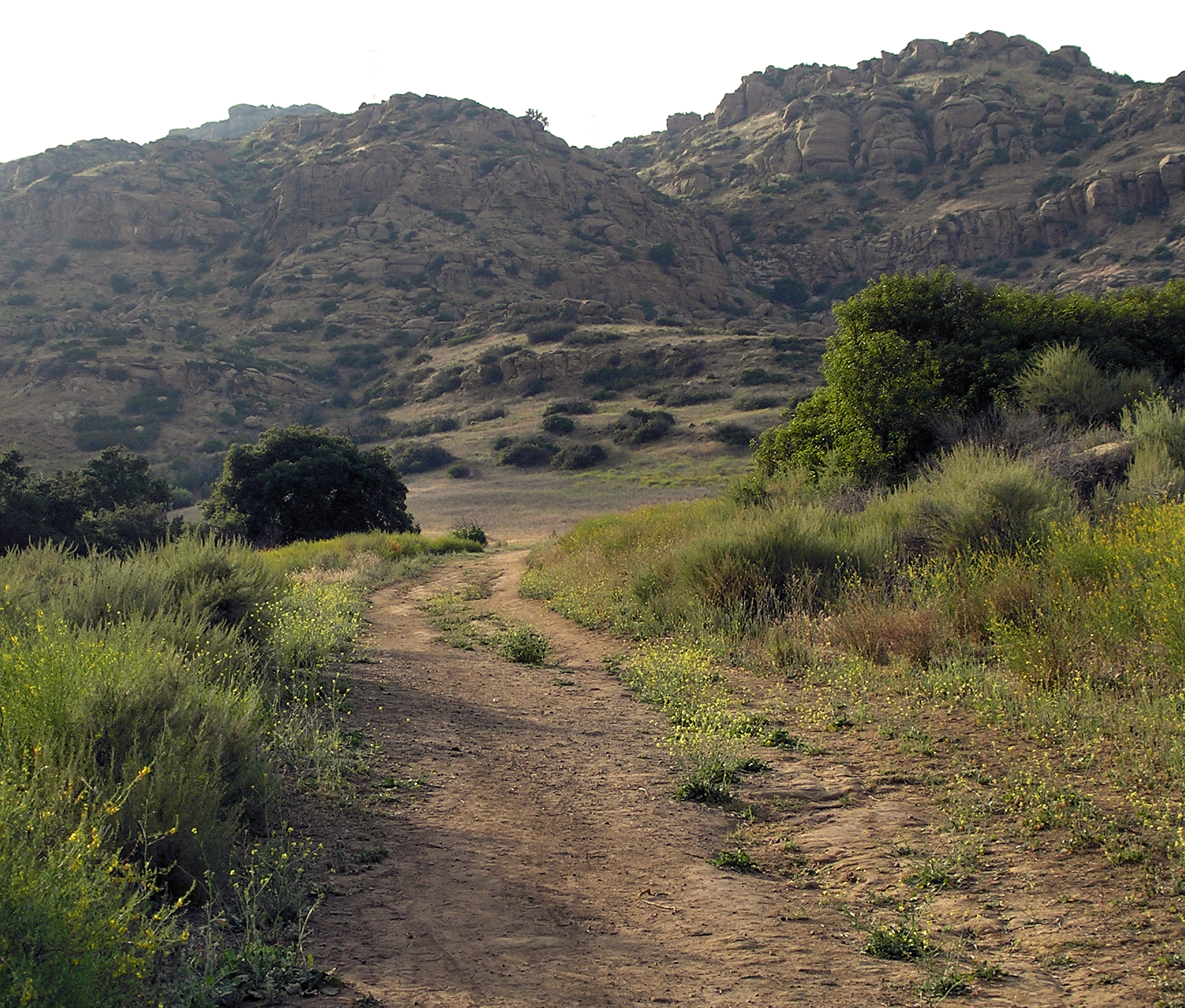
Browns Creek Bike Path is a Class I bike path that is “tucked away from the surrounding hustle and bustle” of the San Fernando Valley, “hugging the side” of the Browns Canyon Wash. The path begins at Lassen Street, just east of Chatsworth Metrolink Station, and ends just north of Rinaldi Street near Stoney Point Park. Browns Creek (sometimes called Brown’s Creek), a tributary of the Los Angeles River, offers “splendid views of the irregularly shaped Santa Susana mountains rising to the west.” One local writer observed, “What he concrete-lined creeklacks in scenery, it compensates for by providing the trail with an open, airy setting.” The route has been described as “very rustic” (for an urban bike path, of course). The wash passes through a neighborhood with equestrian zoning and “Opposite the bike route, in the west levee, a horse trail also follows the creek.” Domestic goats, roosters and ponies have also been seen along the path. At Cha ... [...More Info...] [...Related Items...] OR: [Wikipedia] [Google] [Baidu] |
Chatsworth, Los Angeles
Chatsworth is a suburban neighborhood in the City of Los Angeles, California, in the San Fernando Valley. The area was home to Native Americans, some of whom left caves containing rock art. Chatsworth was explored and colonized by the Spanish beginning in the 18th century. The land was part of a Spanish land grant, Rancho Ex-Mission San Fernando, in the 19th century, and after the United States took over the land following the Mexican–American War, it was the largest such grant in California. Settlement and development followed. Chatsworth has seven public and eight private schools. There are large open-space and smaller recreational parks as well as a public library and a transportation center. Distinctive features are the former Chatsworth Reservoir and the Santa Susana Field Laboratory. The neighborhood has one of the lowest population densities in Los Angeles and a relatively high income level. Chatsworth is the home of the Iverson Movie Ranch, a 500-acre area wh ... [...More Info...] [...Related Items...] OR: [Wikipedia] [Google] [Baidu] |
Equestrianism
Equestrianism (from Latin , , , 'horseman', 'horse'), commonly known as horse riding (Commonwealth English) or horseback riding (American English), includes the disciplines of riding, Driving (horse), driving, and Equestrian vaulting, vaulting. This broad description includes the use of horses for practical working animal, working purposes, transportation, recreational activities, artistic or cultural exercises, and animals in sport, competitive sport. Overview of equestrian activities Horses are horse training, trained and ridden for practical working purposes, such as in Mounted police, police work or for controlling herd animals on a ranch. They are also used in Horse#Sport, competitive sports including dressage, endurance riding, eventing, reining, show jumping, tent pegging, equestrian vaulting, vaulting, polo, horse racing, driving (horse), driving, and rodeo (see additional equestrian sports listed later in this article for more examples). Some popular forms of competi ... [...More Info...] [...Related Items...] OR: [Wikipedia] [Google] [Baidu] |
Bike Paths In Los Angeles
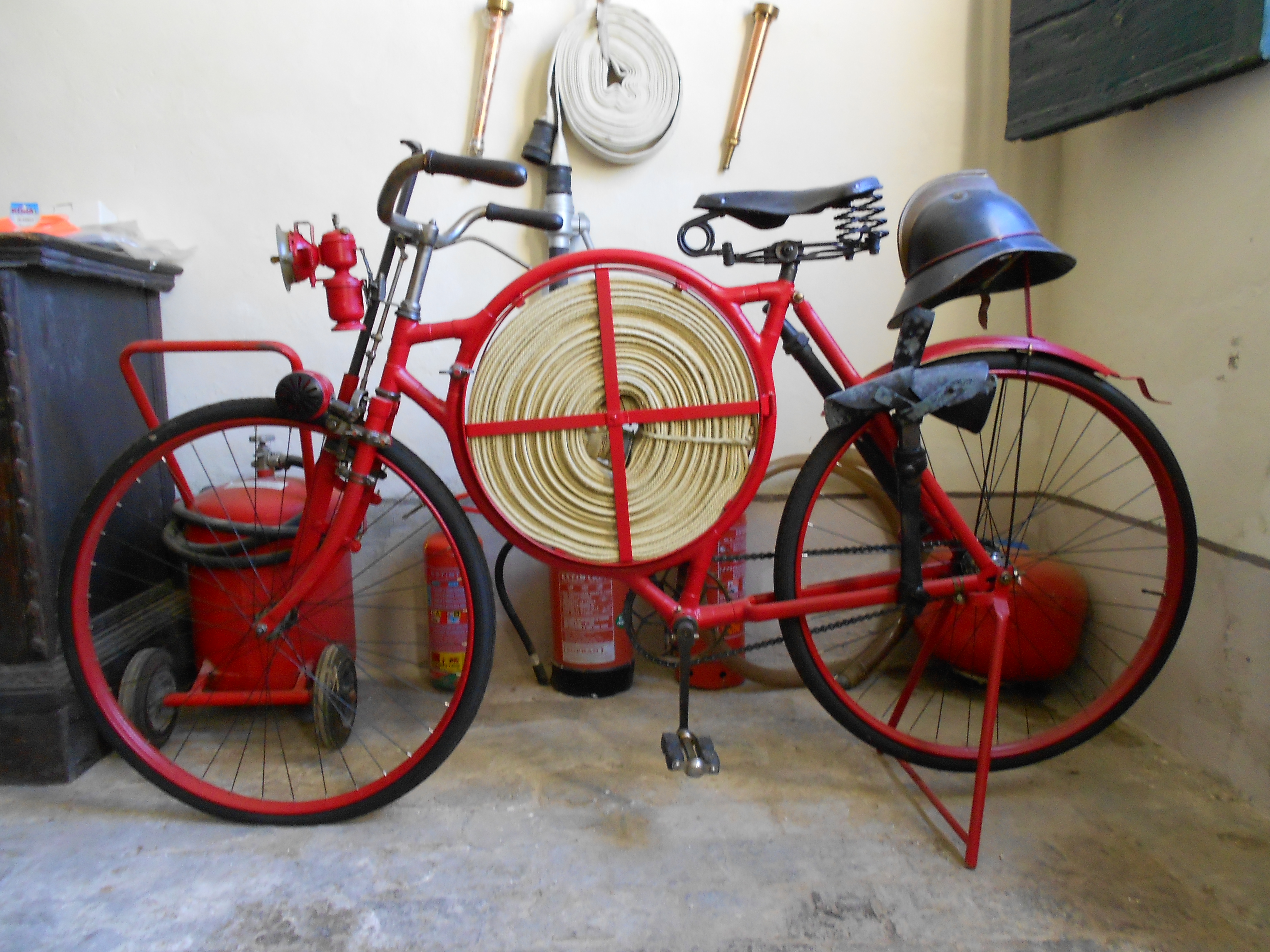
A bicycle, also called a pedal cycle, bike or cycle, is a human-powered or motor-powered assisted, pedal-driven, single-track vehicle, having two wheels attached to a frame, one behind the other. A is called a cyclist, or bicyclist. Bicycles were introduced in the 19th century in Europe. By the early 21st century, more than 1 billion were in existence. These numbers far exceed the number of cars, both in total and ranked by the number of individual models produced. They are the principal means of transportation in many regions. They also provide a popular form of recreation, and have been adapted for use as children's toys, general fitness, military and police applications, courier services, bicycle racing, and bicycle stunts. The basic shape and configuration of a typical upright or "safety bicycle", has changed little since the first chain-driven model was developed around 1885. However, many details have been improved, especially since the advent of mo ... [...More Info...] [...Related Items...] OR: [Wikipedia] [Google] [Baidu] |
G Line (Los Angeles Metro)
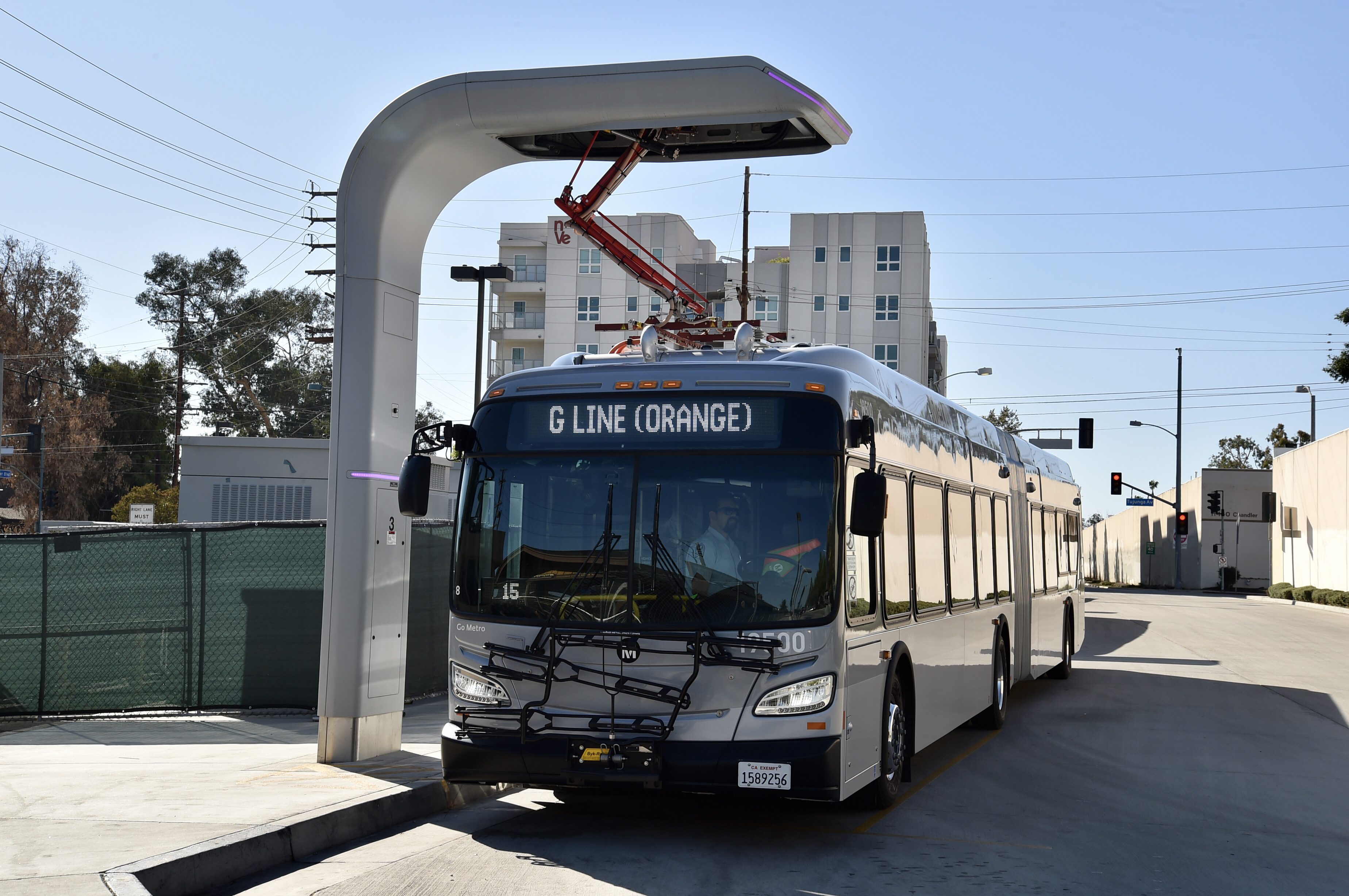
The G Line (formerly the Orange Line) is a bus rapid transit line in Los Angeles, California, operated by the Los Angeles County Metropolitan Transportation Authority (Metro). It operates between and stations in the San Fernando Valley. The G Line uses a dedicated, exclusive right-of-way for the entirety of its route with 17 stations located at approximately intervals; fares are paid via TAP cards at vending machines on station platforms before boarding to improve performance. It is one of the two lines in the Metro Busway system. The line, which opened on October 29, 2005, follows part of the Southern Pacific Railroad's former Burbank Branch Line which provided passenger rail service from 1904 to 1920; it was subsequently used by Pacific Electric streetcars from 1911 to 1952. At North Hollywood station, the G Line connects with the B Line subway which offers service to Downtown Los Angeles via Hollywood. The Metro Orange Line bicycle path runs alongside part of th ... [...More Info...] [...Related Items...] OR: [Wikipedia] [Google] [Baidu] |
List Of Los Angeles Bike Paths
This is a list of bike paths in Los Angeles County, California, United States. Paths * 98th Street bicycle path – runs from Avalon Boulevard to Clovis Avenue along 98th Street in the South Los Angeles area. Bike Path ID: 1. Mileage: 0.52. * Arroyo Seco bicycle path – runs in the Arroyo Seco river channel, from Montecito Heights, Los Angeles, to South Pasadena. Bike Path ID: 5. Mileage: 2.27. (connects to Kenneth Newell Bikeway in Pasadena.) * Balboa Boulevard East bicycle path – runs along Balboa Boulevard, from Victory Boulevard to Burbank Boulevard, in Encino, Los Angeles. Bike Path ID: 1818. Mileage: 1. * Ballona Creek bicycle path – runs along Ballona Creek in the Westside Los Angeles area. The LA city-owned segment of this bicycle path is in two sections. The easternmost section of the bike path runs from the LA/Culver City border to 62nd Street in the northwestern Baldwin Hills area, (Bike Path ID: 1832, Mileage: 0.23) and is 0.23 miles long. The western ... [...More Info...] [...Related Items...] OR: [Wikipedia] [Google] [Baidu] |
Chatsworth Nature Preserve
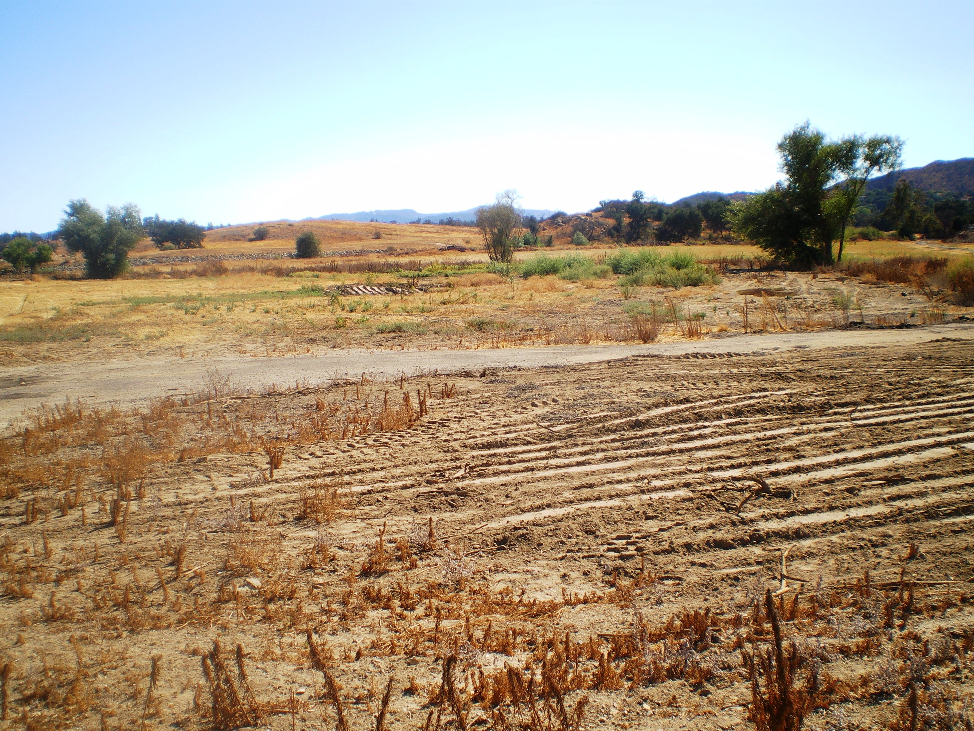
The Chatsworth Nature Preserve (CNP) is a open-space preserve located in the northwest corner of the San Fernando Valley in Los Angeles, California, United States. The preserve contains oak woodlands, savanna, riparian areas, grassland, vernal pools, and an Ecology Pond, all of which support more than 200 bird species and numerous mammals, amphibians and reptiles. Location The CNP is located within Los Angeles city limits. The preserve's western edge abuts Los Angeles County's western border with Ventura County. The preserve is in the foothills of the Simi Hills. The following San Fernando Valley neighborhoods surround the preserve: Chatsworth, Chatsworth Lake Manor, and West Hills. The preserve is located at the former site of Chatsworth Reservoir, a former Los Angeles Department of Water and Power (LADWP) water-storage reservoir. Nearby points of interest include Stoney Point, Santa Susana Pass State Historic Park, Santa Susana Field Laboratory, Burro Flats Painted Cave ... [...More Info...] [...Related Items...] OR: [Wikipedia] [Google] [Baidu] |
List Of Parks In Los Angeles
There are numerous parks in the city of Los Angeles, California This list does not include parks in the enclaves of * city of Beverly Hills * city of Culver City * Ladera Heights (unincorporated Los Angeles County) *Marina del Ray (unincorporated Los Angeles County) * city of Santa Monica * city of West Hollywood Parks having coordinates below may be seen together in a map by clicking on "Map of all coordinates using OpenStreetMap" at the right side of this page. State parks in Los Angeles State of California parks that are wholly or partly in the City of Los Angeles include: Municipal parks of the city of Los Angeles Municipal parks come under the administration of the City of Los Angeles Department of Recreation and Parks. The overseeing body is the Department of Recreation and Park Board of Commissioners. The first parks date back to 1889 under the City's first Freeholder Charter. Notes See also *List of parks in Los Angeles County, California Refere ... [...More Info...] [...Related Items...] OR: [Wikipedia] [Google] [Baidu] |
Orange Line Bike Path
The G Line Bikeway is a cycle route in Los Angeles County, California, that runs for and “spans the lengths of the San Fernando Valley’s major communities” from Chatsworth to Valley Glen, “connecting such places as Pierce College, the Sepulveda Basin Recreation Area, the Van Nuys Government Center and Valley College.” The G Line Bikeway's “seventeen-point-nine miles of exclusive, smooth, and lush active mobility glory” runs alongside the G Line bus rapid transit route. The G Line Bikeway is one of two major bicycle routes in Los Angeles that share dedicated rights-of-way with public transport, the other being the Expo Bike Path in west L.A. The Class I off-street bike path section of the Bikeway runs from Chatsworth station to just east of Valley College station. The section on Chandler Boulevard is a Class II on-street bike lane (beginning on the west between Coldwater Canyon Avenue and Fulton Avenue, near the Ethel Avenue crossing, and continuing to ... [...More Info...] [...Related Items...] OR: [Wikipedia] [Google] [Baidu] |
Zoning In The United States
Zoning in the United States includes various land use laws falling under the police power rights of state governments and local government Local government is a generic term for the lowest tiers of public administration within a particular sovereign state. This particular usage of the word government refers specifically to a level of administration that is both geographically-lo ...s to exercise authority over privately owned real property. Zoning laws in major cities originated with the Los Angeles zoning ordinances of 1904 and the New York City 1916 Zoning Resolution. Early zoning regulations were in some cases motivated by racism and classism, particularly with regard to those mandating single-family housing. Zoning ordinances did not allow African-Americans moving into or using residences that were occupied by majority whites due to the fact that their presence would decrease the value of home. The constitutionality of zoning ordinances was upheld by the Supreme Court ... [...More Info...] [...Related Items...] OR: [Wikipedia] [Google] [Baidu] |
Santa Susana Mountains
The Santa Susana Mountains are a transverse range of mountains in Southern California, north of the city of Los Angeles, in the United States. The range runs east-west, separating the San Fernando and Simi valleys on its south from the Santa Clara River Valley to the north and the Santa Clarita Valley to the northeast. The Oxnard Plain is to the west of the Santa Susana Mountains. Description Geography The Newhall Pass separates the Santa Susana Mountains from the San Gabriel Mountains to the east. Newhall Pass is the major north-south connection between the San Fernando and Santa Clarita valleys, and Interstate 5 and a railroad line share Newhall Pass. The Santa Susana Pass (containing SR 118) connects the Simi and San Fernando valleys, and separates the Santa Susana Mountains from the Simi Hills to the south. Santa Susana Pass State Historic Park is located in the Simi Hills, just south of the Santa Susana Pass, at the northwestern edge of the San Fernando Valley. The ... [...More Info...] [...Related Items...] OR: [Wikipedia] [Google] [Baidu] |
California Bikeway Classifications
California bikeway classifications are standards for identifying the level of travel efficiency and human protection offered by the various bike routes in the state. Traffic engineers use the designations for route planning. See also * List of cycleways * Bicycle law in California * United States Bicycle Route System The United States Bicycle Route System (abbreviated USBRS) is the national cycling route network of the United States. It consists of interstate long-distance cycling routes that use multiple types of bicycling infrastructure, including off-road ... References External links Bikeway Classification brochure Bike paths in California {{California-stub ... [...More Info...] [...Related Items...] OR: [Wikipedia] [Google] [Baidu] |
Los Angeles River
, name_etymology = , image = File:Los Angeles River from Fletcher Drive Bridge 2019.jpg , image_caption = L.A. River from Fletcher Drive Bridge , image_size = 300 , map = LARmap.jpg , map_size = 300 , map_caption = Map of the Los Angeles River watershed , pushpin_map = , pushpin_map_size = , pushpin_map_caption= , subdivision_type1 = Country , subdivision_name1 = United States , subdivision_type2 = State , subdivision_name2 = California , subdivision_type3 = , subdivision_name3 = , subdivision_type4 = , subdivision_name4 = , subdivision_type5 = Cities , subdivision_name5 = Burbank, Glendale, Los Angeles, Downey, Compton, Long Beach , length = U.S. Geological Survey. National Hydrography Dataset high-resolution flowline dataThe National Map, accessed 2011-05-07 , width_min = , width_avg = , width_max = , depth_min ... [...More Info...] [...Related Items...] OR: [Wikipedia] [Google] [Baidu] |
