|
Brovarskyi Prospect
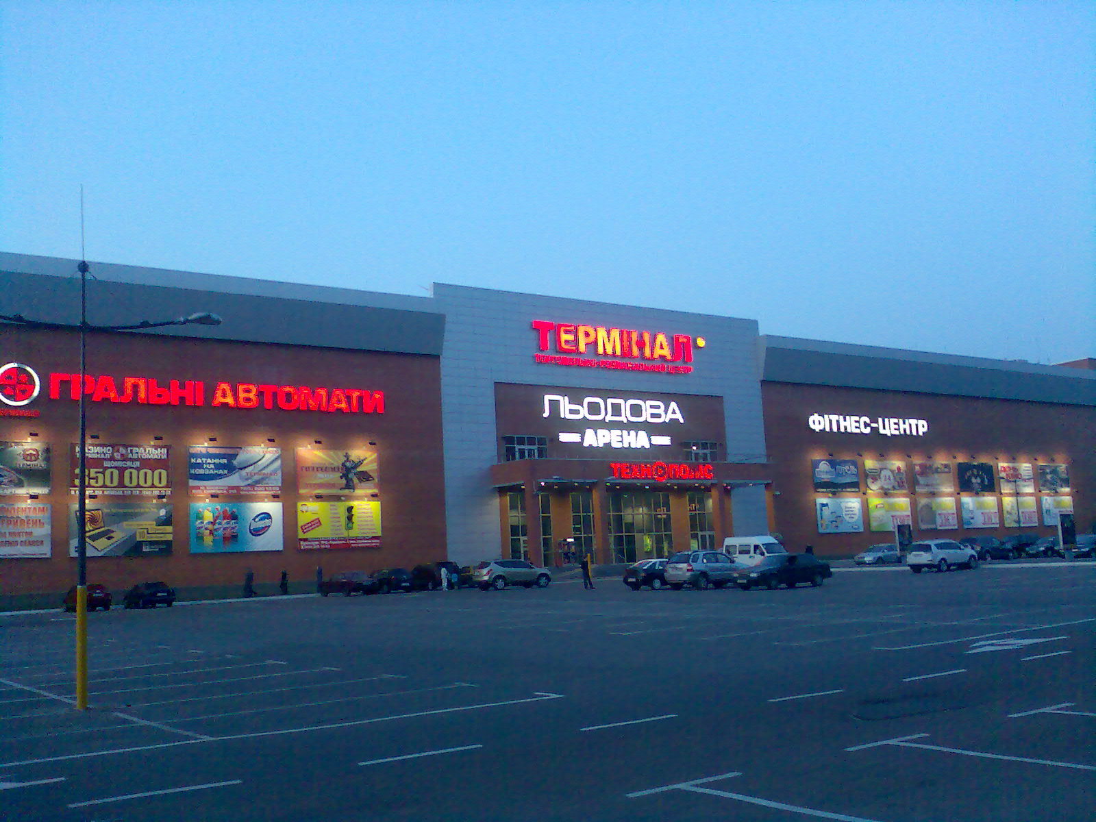
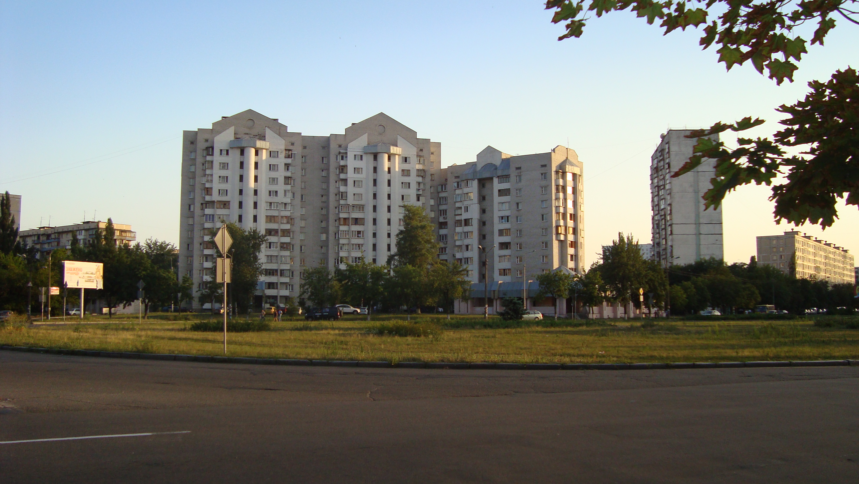
Brovarskyi prospect ( uk, Броварський проспект) is a arterial and the longest public roadway in Kyiv, Ukraine. It stretches from the Kyiv Metro Bridge over Dnieper to the city of Brovary. The roadway was created in the second half of the 20th century (1973), previously known as Brovarske highway (chaussee). Most of the roadway is part of the main route (except for the segment between Metro Bridge and vulytsia Bratyslavska). Along the prospect are located several overpasses and bridges. There are also five metro stations of the Sviatoshynsko–Brovarska line as well as couple of railway stations. From the Metro Bridge it passes Livoberezhnyi Masyv, continues between Lisovyi Masyv on north side and Kyiv Sotsmisto with Kyiv Radykal Factory on south side before it dives into Bykivnia Forest that separates Brovary from Kyiv. Within the Bykivnia Forest, prospect passes an oscillated residential community Bykivnia, better known for its Bykivnia Graves memorial park, ... [...More Info...] [...Related Items...] OR: [Wikipedia] [Google] [Baidu] |
Brovary
Brovary ( uk, Бровари, , yi, בראָוואַר, Brovar) is a city in Kyiv Oblast (Region) in northern Ukraine, an eastern suburb of the country's capital, Kyiv. It is the administrative centre of Brovary Raion (district). Brovary hosts the administration of Brovary urban hromada, one of the hromadas of Ukraine. Its population is approximately History Brovary is a historic town, first mentioned in 1630. Its name, translated from Ukrainian, means 'breweries' (and is a loanword from Dutch). The city also houses a railway station. International ill-fame came to the city in 2000 after one of its apartment blocks was hit by a stray surface-to-surface missile launched from a neighbouring army shooting range in Honcharivs'ke. Three people were killed. In the 21st century, Brovary is Ukraine's shoe-making capital, with dozens of such companies located there. There is also a broadcasting centre for long and shortwave transmissions. The longwave transmitter, which works on ... [...More Info...] [...Related Items...] OR: [Wikipedia] [Google] [Baidu] |
Sviatoshynsko–Brovarska Line
The Sviatoshynsko–Brovarska line ( uk, Святошинсько-Броварська лінія) is the first line of the Kyiv Metro, dating back to 1960.Kyiv Metro Subway celebrates 58th anniversary on Nov 6 (6 November 2018) It includes some of the system's more historically significant stations, like , which at 105.5 meters is the deepest in the world and the next station |
Nicholas Chain Bridge
The Nicholas Chain Bridge (or Nikolaevsky Chain Bridge; uk, Миколаївський ланцюговий міст; russian: Николаевский цепной мост) was a chain bridge over the Dnieper that existed from 1855 to 1920 in Kyiv. Overview The bridge was designed by British engineer Charles Blacker Vignoles. Construction started in 1848 and was completed in 1853. The bridge was the largest at that time in Europe. A silver model of the bridge was presented at The Great Exhibition in London. In 1920, during the Polish-Soviet War, the bridge was blown up by retreating Polish troops. It was restored based on old drawings by Evgeny Paton and opened again in 1925 under the name Yevgenia Bosch Bridge. Paton had significantly changed its structure and raised it by several metres, so that the Yevgenia Bosch Bridge may be considered as a new bridge. On 19 September 1941, Yevgenia Bosch Bridge was demolished by retreating Soviet troops and was never restored after t ... [...More Info...] [...Related Items...] OR: [Wikipedia] [Google] [Baidu] |
Bird Farm
Poultry farming is the form of animal husbandry which raises domesticated birds such as chickens, ducks, turkeys and geese to produce meat or eggs for food. Poultry – mostly chickens – are farmed in great numbers. More than 60 billion chickens are killed for consumption annually. Chickens raised for eggs are known as layers, while chickens raised for meat are called broilers. In the United States, the national organization overseeing poultry production is the Food and Drug Administration (FDA). In the UK, the national organisation is the Department for Environment, Food and Rural Affairs (Defra). Intensive and alternative According to the World Watch Institute, 74 percent of the world's poultry meat, and 68 percent of eggs are produced intensively.''State of the World 2006'' World "atch Institute, p. 26 One alternative to intensive poultry farming is free-range farming using lower stocking densities. Poultry producers routinely use nationally approved medications, such a ... [...More Info...] [...Related Items...] OR: [Wikipedia] [Google] [Baidu] |
Bykivnia Graves
, image = , caption = Bykivnia central monument , image2 = , caption2 = Map of Bykivnia grave site , header1 = , data1 = , label2 = Location , data2 = Kyiv, Ukraine , label3 = Founded , data3 = April 30, 1994 (as a complex). , label4 = Purpose , data4 = "To commemorate the victims of political repressions". , label5 = Architects , data5 = M.Kysly, R.Kukharenko, V.Chepelyk (sculptor). , label6 = Designation , data6 = ''Historic complex of Ukraine'' , label7 = Established , data7 = April 30, 1994. , label8 = Type , data8 = Memorial site , label9 = Prescribed , data9 = May 22, 2001. , label10 = Declared , data10 = National monument, May 17, 2006.Information at the Science-Researching Institute in Preservation of Monuments nbsp;''with no |
Bykivnia Forest
Bykivnia Forest ( ua, Биківнянський ліс) is an urban forest consisting mostly of pine trees (90%),Bykivnia Forest www.avk.org.ua (Association of Kyiv cyclists) and stretching on eastern side of from National Park Zalissia in southern direction towards creating a so-called . It is primarily associated with Memo ... [...More Info...] [...Related Items...] OR: [Wikipedia] [Google] [Baidu] |
Kyiv Sotsmisto
Kyiv, also spelled Kiev, is the capital and most populous city of Ukraine. It is in north-central Ukraine along the Dnieper, Dnieper River. As of 1 January 2021, its population was 2,962,180, making Kyiv the List of European cities by population within city limits, seventh-most populous city in Europe. Kyiv is an important industrial, scientific, educational, and cultural center in Eastern Europe. It is home to many High tech, high-tech industries, higher education institutions, and historical landmarks. The city has an extensive system of Transport in Kyiv, public transport and infrastructure, including the Kyiv Metro. The city's name is said to derive from the name of Kyi, one of its four legendary founders. During History of Kyiv, its history, Kyiv, one of the oldest cities in Eastern Europe, passed through several stages of prominence and obscurity. The city probably existed as a commercial center as early as the 5th century. A Slavs, Slavic settlement on the great trade ... [...More Info...] [...Related Items...] OR: [Wikipedia] [Google] [Baidu] |
Lisovyi Masyv
Lisovyi masyv ( uk, Лісовий масив literally: ''Forest neighbourhood'') is a neighbourhood ( city superblock) located in the northeast part of the city of Kyiv, the capital of Ukraine. It is located next to the Bykivnia Forest and the residential neighborhood appeared in 1965-73, originally known as Vodopark. Its northern and eastern boundaries are bordered with forests, hence its name; its western boundary is bordered by the '' Bratislavska Street'', and its southern boundary by the ''Brovarskyi Prospect''. Aside of kindergartens and general education schools, the Lisovyi masyv contains the Kyiv National University of Trade and Economics. The Lisovyi masyv is served by the Kyiv Metro station, '' Lisova'', from which travel the city's buses, trolleybuses, and marshrutka ''Marshrutka'' [...More Info...] [...Related Items...] OR: [Wikipedia] [Google] [Baidu] |
Livoberezhnyi Masyv
Livoberezhnyi Masyv ( uk, Лівобережний масив) or commonly known as Livoberezhna ( uk, Лівобережна) is a residential neighborhood of the Ukrainian capital Kyiv. The neighborhood is administratively a part of the Dnipro Raion, and is located on the city's left bank (which it is named for). The neighborhood is surrounded by the Dnipro River to its west, Darnytsia to its north and east, Berezniaky to its southeast, and Rusanivka to its south. It was created in the 1960s-1970s on the territory of the Mykilska Slobidka, a former settlement on the outskirts of Kyiv. Transport The Livoberezhnyi neighborhood is serviced by the Livoberezhna station of the Kyiv Metro's Sviatoshynsko-Brovarska Line, where a number of city busses and marshrutkas connect. In addition, the Kyiv Urban Electric Train has a flag stop located in walking distance from the metro station. Through the neighborhood passes highway-like Brovarskyi prospect that continues on toward ... [...More Info...] [...Related Items...] OR: [Wikipedia] [Google] [Baidu] |
Overpass
An overpass (called an overbridge or flyover in the United Kingdom and some other Commonwealth countries) is a bridge, road, railway or similar structure that crosses over another road or railway. An ''overpass'' and ''underpass'' together form a grade separation. Stack interchanges are made up of several overpasses. History The world's first railroad flyover was constructed in 1843 by the London and Croydon Railway at Norwood Junction railway station to carry its atmospheric railway vehicles over the Brighton Main Line. Highway and road In North American usage, a ''flyover'' is a high-level overpass, built above main overpass lanes, or a bridge built over what had been an at-grade intersection. Traffic engineers usually refer to the latter as a ''grade separation''. A flyover may also be an extra ramp added to an existing interchange, either replacing an existing cloverleaf loop (or being built in place of one) with a higher, faster ramp that eventually bears left, but may b ... [...More Info...] [...Related Items...] OR: [Wikipedia] [Google] [Baidu] |
Chaussee
''Chaussee'' is an historic term used in German-speaking countries for early, metalled, rural highways, designed by road engineers, as opposed to the hitherto, traditional, unpaved country roads. The term is no longer used in modern road construction in Western Europe, but survives in road names and is used by historians. In Eastern Europe and the post Soviet states it remains a generic term for a common paved highway outside of built-up areas, but they may transition into prospekts within towns and cities. Origin of the word and usage The German word was borrowed from the French by the German construction industry in the 18th century. The French word, in turn, went back to the Gallo-Romanic and meant a road surfaced with firmly compacted crushed rock bound with lime. :fr:Chaussée Contemporary German translations of the word were ('road embankment') and ('high way') and even the roughly similar English word, highway. Around 1790, Adelung complained that "several new auth ... [...More Info...] [...Related Items...] OR: [Wikipedia] [Google] [Baidu] |


.jpg)

