|
Briarwood (IND Queens Boulevard Line)
The Briarwood station (formerly Briarwood–Van Wyck Boulevard station or Van Wyck Boulevard station) is a local station on the IND Queens Boulevard Line of the New York City Subway. Located at the intersection of 84th Drive, Main Street, Queens Boulevard, and the Van Wyck Expressway, in Briarwood, Queens, bordering Kew Gardens, it is served by the F train at all times, the E train at all times except rush hours and middays, and the <F> train during rush hours in the reverse peak direction. This station opened on April 24, 1937, as part of an extension of the Independent Subway System's Queens Boulevard Line. It has been renovated multiple times to accommodate the construction of and modifications to the Van Wyck Expressway. History Construction The Queens Boulevard Line was one of the first built by the city-owned Independent Subway System (IND), and was planned to stretch between the IND Eighth Avenue Line in Manhattan and 178th Street and Hillside Avenue in Jam ... [...More Info...] [...Related Items...] OR: [Wikipedia] [Google] [Baidu] |
Main Street (Queens)
Main Street is a major north-south street in the borough of Queens in New York City, extending from Queens Boulevard in Briarwood to Northern Boulevard in Flushing. Created in the 17th century as one of Flushing's main roads, Main Street has been lengthened at various points in its existence. Route description Main Street runs relatively north to south with two to three lanes in either direction, and serves as the major road for Flushing, Queens. From the north, it begins at Northern Boulevard in Downtown Flushing, also known as Flushing Chinatown, one of New York City's largest Asian enclaves. Just south of Roosevelt Avenue and the Long Island Rail Road overpass, Kissena Boulevard (formerly Jamaica Road) branches off from Main Street at a triangle, before traveling on a parallel course. After passing through Kissena Park, Main Street intersects with the Long Island Expressway north of Queens College. South of Queens College, it intersects with Jewel Avenue near the neig ... [...More Info...] [...Related Items...] OR: [Wikipedia] [Google] [Baidu] |
E (New York City Subway Service)
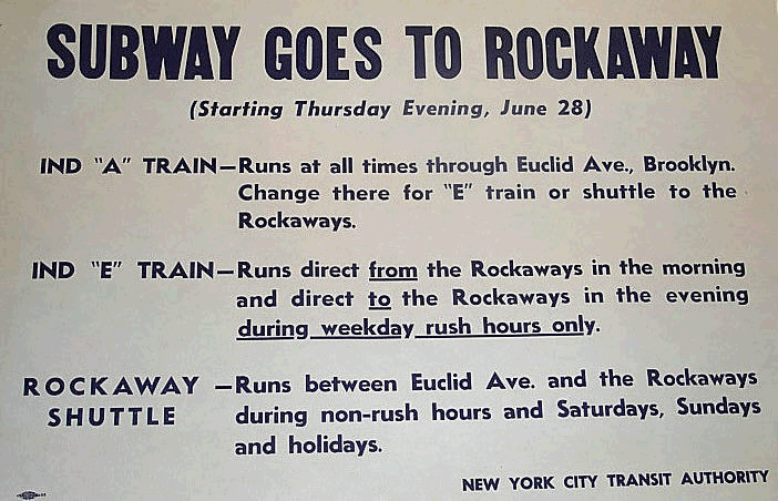
The E Eighth Avenue Local is a rapid transit service in the B Division of the New York City Subway. Its route emblem, or "bullet", is blue since it uses the IND Eighth Avenue Line in Manhattan. The E operates at all times between Jamaica Center–Parsons/Archer in Jamaica, Queens, and the World Trade Center in Lower Manhattan; additional service during weekday rush hours originates and terminates at Jamaica–179th Street instead of Jamaica Center–Parsons/Archer. Daytime service operates express in Queens and local in Manhattan; late night service makes local stops along its entire route. E service, which is one of the most heavily used services in the subway system, started in 1933 with the opening of the IND Queens Boulevard Line. In its early years, the E train ran along the Rutgers Street Tunnel and South Brooklyn Line to Brooklyn, though this service pattern stopped by 1940. Until 1976, E train ran to Brooklyn and Queens via the IND Fulton Street Line and IND Roc ... [...More Info...] [...Related Items...] OR: [Wikipedia] [Google] [Baidu] |
Jackson Heights, Queens
Jackson Heights is a neighborhood in the northwestern portion of the borough of Queens in New York City. Jackson Heights is neighbored by North Corona to the east, Elmhurst to the south, Woodside to the west, northern Astoria ( Ditmars-Steinway) to the northwest, and East Elmhurst to the north and northeast. Jackson Heights has an ethnically diverse community, with half the population having been foreign-born since the 2000s. The New York Times has described Jackson Heights as "the most culturally diverse neighborhood in New York, if not on the planet." According to the 2010 United States Census, the neighborhood has a population of 108,152. The site of Jackson Heights was a vast marsh named Trains Meadow until 1909 when Edward A. MacDougall's Queensboro Corporation bought of undeveloped land and farms. The Queensboro Corporation named the land Jackson Heights after John C. Jackson, a descendant of one of the original Queens families and a respected Queens entrepreneur. Furt ... [...More Info...] [...Related Items...] OR: [Wikipedia] [Google] [Baidu] |
Roosevelt Avenue/74th Street (New York City Subway)
Roosevelt may refer to: *Theodore Roosevelt (1858–1919), 26th U.S. president *Franklin D. Roosevelt (1882–1945), 32nd U.S. president Businesses and organisations * Roosevelt Hotel (other) * Roosevelt & Son, a merchant bank * Roosevelt Institute, a think tank Educational establishments * Roosevelt School (other) * Roosevelt Elementary School (other) * Roosevelt Middle School (other) * Roosevelt High School (other) * Roosevelt School District (other) * Colegio Franklin Delano Roosevelt, The American School of Lima, Peru * Eleanor Roosevelt College, University of California, San Diego, U.S. * President Theodore Roosevelt High School, Honolulu, Hawaii, U.S. * Roosevelt Intermediate School, Westfield, New Jersey, U.S. * Roosevelt University, Illinois, U.S. * University College Roosevelt, formerly Roosevelt Academy, Middelburg, the Netherlands People * Roosevelt family, U.S. political family * Roosevelt (name) * List of people w ... [...More Info...] [...Related Items...] OR: [Wikipedia] [Google] [Baidu] |
50th Street Station (IND Lines)
The 50th Street station is a bi-level station on the IND Eighth Avenue and Queens Boulevard Lines of the New York City Subway, located at 50th Street and Eighth Avenue in the Hell's Kitchen neighborhood of Manhattan. The lower level, on the Queens Boulevard Line, is served by the train at all times, and the upper level, on the Eighth Avenue Line, is served by the at all times except late nights and the during late nights. History On December 9, 1924, the New York City Board of Transportation (BOT) gave preliminary approval to the construction of a subway line along Eighth Avenue, running from 207th Street. In June 1930, the BOT approved a list of planned stations on the new line, including a stop at 50th Street. Originally, the BOT did not plan for a 50th Street station on the Queens Boulevard Line. This station was to have only been served by Eighth Avenue trains heading north toward 168th Street in Washington Heights. The Eighth Avenue Association petitioned the B ... [...More Info...] [...Related Items...] OR: [Wikipedia] [Google] [Baidu] |
Cut-and-cover
A tunnel is an underground passageway, dug through surrounding soil, earth or rock, and enclosed except for the entrance and exit, commonly at each end. A pipeline is not a tunnel, though some recent tunnels have used immersed tube construction techniques rather than traditional tunnel boring methods. A tunnel may be for foot or vehicular road traffic, for rail traffic, or for a canal. The central portions of a rapid transit network are usually in the tunnel. Some tunnels are used as sewers or aqueducts to supply water for consumption or for hydroelectric stations. Utility tunnels are used for routing steam, chilled water, electrical power or telecommunication cables, as well as connecting buildings for convenient passage of people and equipment. Secret tunnels are built for military purposes, or by civilians for smuggling of weapons, contraband, or people. Special tunnels, such as wildlife crossings, are built to allow wildlife to cross human-made barriers safely. Tu ... [...More Info...] [...Related Items...] OR: [Wikipedia] [Google] [Baidu] |
Sutphin Boulevard Station (IND Queens Boulevard Line)
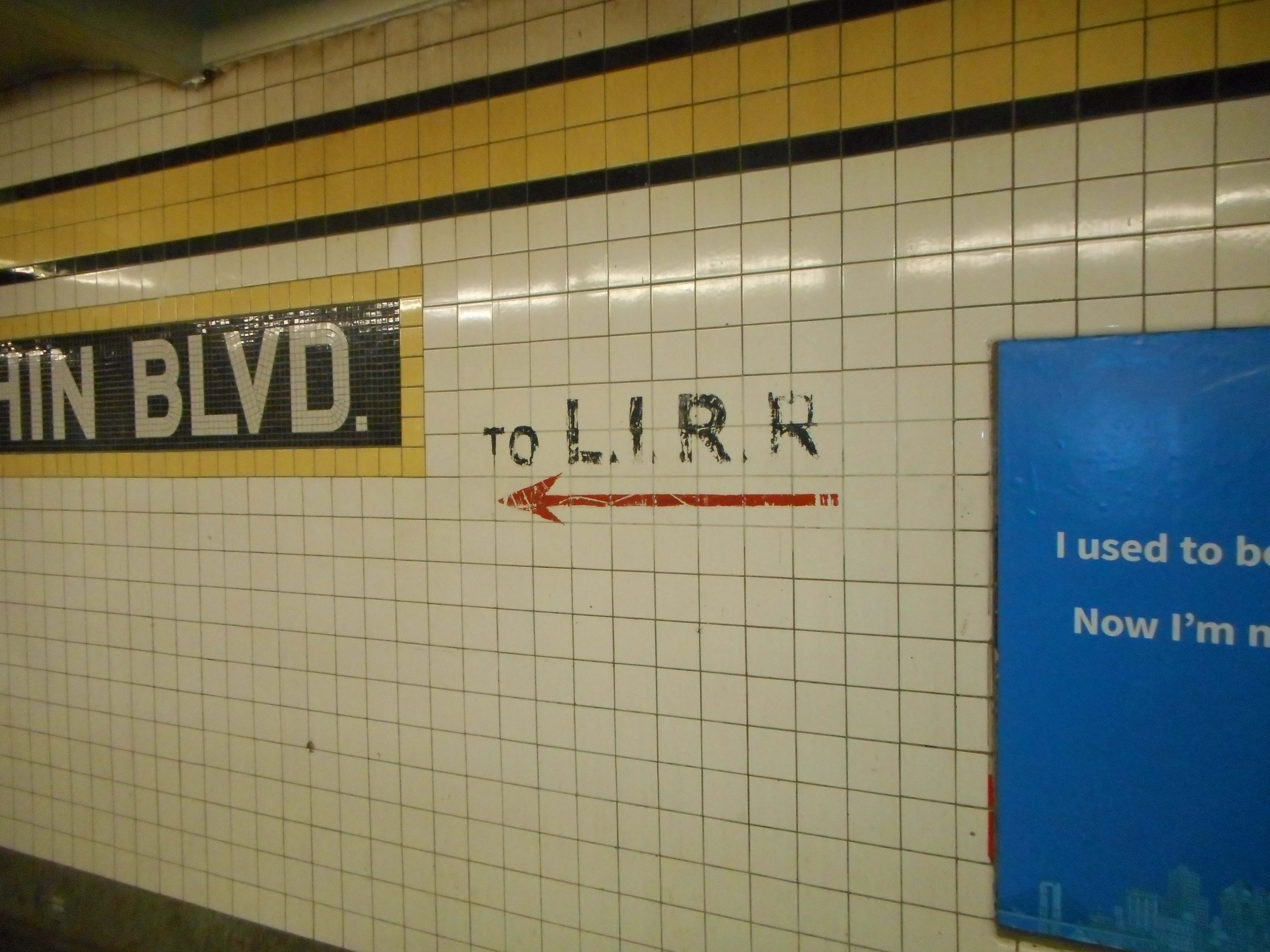
The Sutphin Boulevard station is a local station on the IND Queens Boulevard Line of the New York City Subway. Located at Sutphin Boulevard and Hillside Avenue in Jamaica, Queens, it is served by the train at all times, the <F> train during rush hours in the reverse peak direction, and two trains to Jamaica–179th Street during p.m. rush hours. This station opened on April 24, 1937 as part of an extension of the Independent Subway System's Queens Boulevard Line. In 1953, the platforms at the station were extended to accommodate 11-car trains. Ridership at this station decreased sharply after the opening of the Archer Avenue lines in 1988. This had been the closest subway station to the Long Island Rail Road's Jamaica station after the removal of a portion of the Jamaica Elevated in 1977. History Construction The Queens Boulevard Line was one of the first built by the city-owned Independent Subway System (IND), and was planned to stretch between the IND Ei ... [...More Info...] [...Related Items...] OR: [Wikipedia] [Google] [Baidu] |
Parsons Boulevard Station
The Parsons Boulevard station is an express station on the IND Queens Boulevard Line of the New York City Subway. Located at the intersection of Parsons Boulevard and Hillside Avenue in Queens, it is served by the F train at all times, and the <F> train during rush hours in the reverse peak direction. Limited rush hour E service also stops here due to capacity constraints at its primary terminal of Jamaica Center–Parsons/Archer station, located four blocks south. This station opened on April 24, 1937 as part of an extension of the Independent Subway System's Queens Boulevard Line, and served as a terminal for F trains until the line was extended to 179th Street in 1950. Ridership at this station decreased sharply after the opening of the Archer Avenue lines in 1988. History Construction The Queens Boulevard Line was one of the first built by the city-owned Independent Subway System (IND), and was planned to stretch between the IND Eighth Avenue Line in Manhat ... [...More Info...] [...Related Items...] OR: [Wikipedia] [Google] [Baidu] |
169th Street Station (IND Queens Boulevard Line)
The 169th Street station is a local station on the IND Queens Boulevard Line of the New York City Subway. Located at the intersection of 169th Street and Hillside Avenue in Queens, it is served by the F train at all times, the <F> train during rush hours in the reverse peak direction, and two E trains to Jamaica–179th Street during p.m. rush hours. 169th Street station opened on April 24, 1937, as the terminal station of the Independent Subway System's Queens Boulevard Line. This station was once heavily used because of the many bus connections available for riders heading further east within Queens. It became the closest subway station to the 165th Street Bus Terminal after the closure and demolition of the nearby 168th Street BMT station on Jamaica Avenue in 1977. Ridership at 169th Street station declined significantly following the opening of the Archer Avenue lines in 1988. History Construction The Queens Boulevard Line was one of the first built by th ... [...More Info...] [...Related Items...] OR: [Wikipedia] [Google] [Baidu] |
Rockaway Boulevard
Rockaway Boulevard is a major road in the New York City borough of Queens. Unlike the similarly named Rockaway Beach Boulevard and Rockaway Freeway, it serves mainland Queens and does not enter the Rockaways. Route description It begins as an undivided road at Eldert Lane, a small one-way street that runs along the border between Queens and Brooklyn. West of Atlantic Avenue, it is a two-lane road. When it crosses Atlantic Avenue, it widens to four lanes. Rockaway Boulevard generally runs east-southeast. It crosses the Van Wyck Expressway (I-678) and the Belt Parkway. Just south of the parkway, the Queens segment of the Nassau Expressway ( NY 878) ends at Rockaway Boulevard, in a Y-shaped, at-grade junction. Rockaway Boulevard becomes a six-lane divided road at this point and continues southeast to the Queens-Nassau border, where it splits. One branch continues as Rockaway Turnpike ( Nassau County Route 257), and the other leads to the southern part of NY 878. Rockaway Boulevar ... [...More Info...] [...Related Items...] OR: [Wikipedia] [Google] [Baidu] |
New York City Board Of Estimate
The New York City Board of Estimate was a governmental body in New York City responsible for numerous areas of municipal policy and decisions, including the city budget, land-use, contracts, franchises, and water rates. Under the amendments effective in 1901, to the charter of the then-recently-amalgamated City of Greater New York, the Board of Estimate and Apportionment was composed of eight ''ex officio'' members: the Mayor of New York City, the New York City Comptroller and the President of the New York City Board of Aldermen, each of whom had three votes; the borough presidents of Manhattan and Brooklyn, each having two votes; and the borough presidents of the Bronx, Queens, and Richmond (Staten Island), each having one vote. (The 1897 charter effective on amalgamation had had a five-member Board of Estimate and Apportionment.) The La Guardia Reform Charter of 1938 simplified its name and enhanced its powers. In 1957, the Charter was amended to raise the number of votes on t ... [...More Info...] [...Related Items...] OR: [Wikipedia] [Google] [Baidu] |
_Tile_Caption.jpg)


