|
Brecon Forest Tramroad
The Brecon Forest Tramroad is an early nineteenth century Tramway (industrial), tramroad, or rather a network of connecting tramroads or waggonways, which stretched across the hills of Fforest Fawr in the historic county of Brecknockshire (modern administrative county of Powys) in south Wales, UK. Its northern terminus was at the village of Sennybridge in the River Usk, Usk Valley whilst its southern ends lay at Abercraf and Ystradgynlais in the upper Swansea Valley some to the south. The tramroad project was conceived by John Christie (industrialist), John Christie, a Scottish-born entrepreneur based in London who had amassed a fortune from his involvement in the indigo trade with India. This enabled him to purchase the Crown Allotment of the Great Forest of Brecon (or Fforest Fawr) on its sale by the Crown in 1819. Construction of the tramroad was an essential part of his plans for the exploitation of his property. His original intention was to use the tramroad to convey limesto ... [...More Info...] [...Related Items...] OR: [Wikipedia] [Google] [Baidu] |
Tramway (industrial)
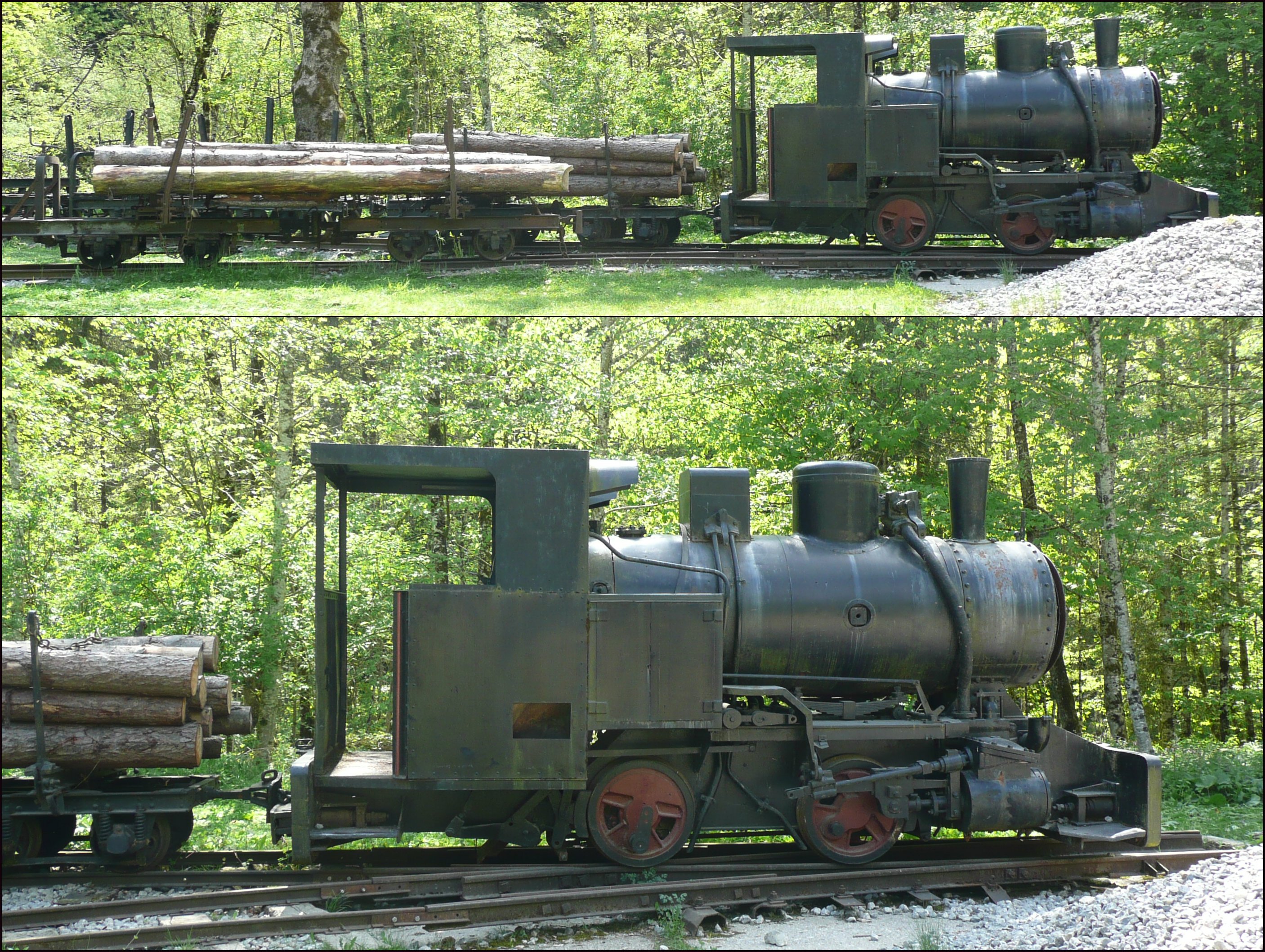
Tramways are lightly laid rail transport, railways, sometimes with the wagons or carriages moved without locomotives. Because individual tramway infrastructure is not intended to carry the weight of typical standard-gauge railway equipment, the tramways over which they operate may be built from less substantial materials. Tramways can exist in many forms; sometimes just tracks temporarily placed on the ground to transport materials around a factory, mine or quarry. Many, if not most, use narrow-gauge railway technology. The trains can be manually pushed by hand, pulled by animals (especially horses and mules), cable hauled by a stationary engine, or use small, light locomotives. The term is not in use in North America but in common use in the United Kingdom, and elsewhere, where British Railway terminology and practices had large influences on management practices, terminology, and railway cultures such as Australia, New Zealand, and those parts of Asia that consulted with Bri ... [...More Info...] [...Related Items...] OR: [Wikipedia] [Google] [Baidu] |
Industrialisation
Industrialisation ( alternatively spelled industrialization) is the period of social and economic change that transforms a human group from an agrarian society into an industrial society. This involves an extensive re-organisation of an economy for the purpose of manufacturing. Historically industrialization is associated with increase of polluting industries heavily dependent on fossil fuels. With the increasing focus on sustainable development and green industrial policy practices, industrialization increasingly includes technological leapfrogging, with direct investment in more advanced, cleaner technologies. The reorganization of the economy has many unintended consequences both economically and socially. As industrial workers' incomes rise, markets for consumer goods and services of all kinds tend to expand and provide a further stimulus to industrial investment and economic growth. Moreover, family structures tend to shift as extended families tend to no longer live ... [...More Info...] [...Related Items...] OR: [Wikipedia] [Google] [Baidu] |
Boston, Lincolnshire
Boston is a market town and inland port in the borough of the same name in the county of Lincolnshire, England. Boston is north of London, north-east of Peterborough, east of Nottingham, south-east of Lincoln, south-southeast of Hull and north-west of Norwich. Boston is the administrative centre of the wider Borough of Boston local government district. The town had a population of 35,124 at the 2001 census, while the borough had a population of 66,900 at the ONS mid-2015 estimates. Boston's most notable landmark is St Botolph's Church ("The Stump"), the largest parish church in England, which is visible from miles away across the flat lands of Lincolnshire. Residents of Boston are known as Bostonians. Emigrants from Boston named several other settlements around the world after the town, most notably Boston, Massachusetts in the United States. Name The name "Boston" is said to be a contraction of "Saint Botolph's town", "stone", or "'" (Old English, Old Norse an ... [...More Info...] [...Related Items...] OR: [Wikipedia] [Google] [Baidu] |
Swansea Canal
The Swansea Canal (Welsh: ''Camlas Abertawe'') was a canal constructed by the Swansea Canal Navigation Company between 1794 and 1798, running for from Swansea to Hen Neuadd, Abercraf in South Wales. It was steeply graded, and 36 locks were needed to enable it to rise over its length. The main cargos were coal, iron and steel, and the enterprise was profitable. Sold to the Great Western Railway in 1873, it continued to make a profit until 1895. A period of decline followed, with the last commercial traffic using the waterway in 1931. Subsequently, parts of it were closed and filled in under a succession of owners, but around remain in water. The Swansea Canal Society, formed in 1981, is actively involved in plans for its restoration. Background The canal was constructed to transport coal from the upper Swansea Valley to Swansea docks for export, or for use in the early metallurgical industries in the Lower Swansea Valley. The period 1830-1840 saw the development of towns aro ... [...More Info...] [...Related Items...] OR: [Wikipedia] [Google] [Baidu] |
Fan Gyhirych
Fan Gyhirych is a mountain in the Fforest Fawr section of Brecon Beacons National Park in south Wales. It lies within the county of Breconshire, and administered as part of the unitary authority of Powys. Its highest point at 2379 feet (or 725 m) is marked by a trig point which is located towards the western side of the summit plateau. The hill drains to the north into the catchment of the Afon Crai and to the south and west into that of the River Tawe. Fan Fraith is a nearby hill which can be considered a subsidiary top of Fan Gyhirych. Geology The hill is formed largely from sandstones of the Brownstones Formation of the Old Red Sandstone laid down during the Devonian period. A part of the summit plateau is capped by sandstones of the overlying Plateau Beds Formation which also occur on the nearby peak of Fan Fraith. The Cribarth Disturbance, a north-east to south-west aligned zone of faulting and folding, passes through the hill. The hill's finest feature is its nort ... [...More Info...] [...Related Items...] OR: [Wikipedia] [Google] [Baidu] |
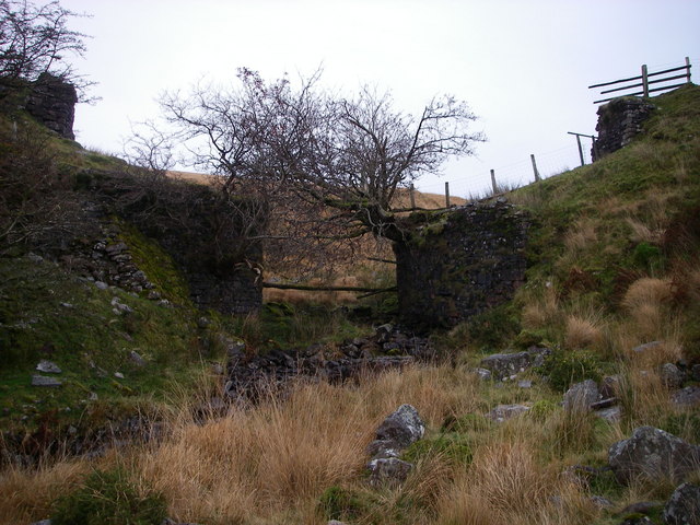
Brecon Forest Tramroad - Geograph
Brecon (; cy, Aberhonddu; ), archaically known as Brecknock, is a market town in Powys, mid Wales. In 1841, it had a population of 5,701. The population in 2001 was 7,901, increasing to 8,250 at the 2011 census. Historically it was the county town of Brecknockshire (Breconshire); although its role as such was eclipsed with the formation of the County of Powys, it remains an important local centre. Brecon is the third-largest town in Powys, after Newtown and Ystradgynlais. It lies north of the Brecon Beacons mountain range, but is just within the Brecon Beacons National Park. History Early history The Welsh name, Aberhonddu, means "mouth of the Honddu". It is derived from the River Honddu, which meets the River Usk near the town centre, a short distance away from the River Tarell which enters the Usk a few hundred metres upstream. After the Dark Ages the original Welsh name of the kingdom in whose territory Brecon stands was (in modern orthography) "Brycheiniog", whic ... [...More Info...] [...Related Items...] OR: [Wikipedia] [Google] [Baidu] |
National Nature Reserve (United Kingdom)
Some statutory nature reserves are designated by national bodies in the United Kingdom, and are known as national nature reserves. Great Britain In Great Britain, nature reserves designed under Part III of the National Parks and Access to the Countryside Act 1949 that are deemed to be of national importance may be designated as statutory 'national nature reserves' by the relevant national nature conservation body (Natural England, Scottish Natural Heritage, or Natural Resources Wales) using section 35(1) of the Wildlife and Countryside Act 1981. If a nature reserve is designated by a local authority in Great Britain, then the resulting statutory nature reserve will be referred to as a local nature reserve. England In England, 229 national nature reserves are designated by Natural England. Scotland In Scotland, 43 national nature reserves are designated by NatureScot. Wales In Wales, 76 national nature reserves are designated by Natural Resources Wales. Northern Ireland ... [...More Info...] [...Related Items...] OR: [Wikipedia] [Google] [Baidu] |
Ogof Ffynnon Ddu
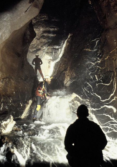
Ogof Ffynnon Ddu ( Welsh for ''cave of the black spring''), also known informally as OFD, is a cave under a hillside in the area surrounding Penwyllt in the Upper Swansea Valley in South Wales. It is the second longest cave in Wales and the deepest in the United Kingdom. History OFD was discovered in 1946 through digging by Peter Harvey and Ian Nixon, members of the newly formed South Wales Caving Club. Exploration beyond the Boulder Chamber in 1957 revealed passages as far as the Dip Sump. Major extensions were discovered in 1967 through to Cwm Dŵr, which is now known as OFD2. The system is famous for its intricate maze-like structure and its impressive main stream passage. It is now part of the Ogof Ffynnon Ddu National Nature Reserve, which includes the ruined remains of a former brickworks, including several kilns, quarry workings and tramroad tracks. The terrace of workers' cottages is now occupied by the South Wales Caving Club. The cave has seen many minor incidents ... [...More Info...] [...Related Items...] OR: [Wikipedia] [Google] [Baidu] |
Henrhyd Waterfall
Henrhyd Falls (Welsh: ''Sgwd Henrhyd'') in the Brecon Beacons National Park, Wales, is the tallest waterfall in southern Wales with a drop of . It lies on National Trust land, in the county of Powys. The nearest settlement to it is Coelbren, on the road between Glynneath and Abercraf. Though not in the core of the area, it is considered by many to constitute a part of Wales' celebrated Waterfall Country. Geology The falls occur where the small river, the Nant Llech () drops over the faulted edge of a hard sandstone known as the Farewell Rock which forms the top half of the rock face and which forms the base of the South Wales Coal Measures. Beneath this, and forming much of the recessed portion of the drop, is the Subcrenatum Sandstone separated from the Farewell Rock above by the ''Subcrenatum'' marine band. Both the marine band and sandstone are part of the Bishopston Mudstone Formation included within the Marros Group, the modern name in South Wales for the assemblage of ... [...More Info...] [...Related Items...] OR: [Wikipedia] [Google] [Baidu] |
Nant Llech
The Nant Llech is a minor river in Powys, Wales and which lies wholly within the Brecon Beacons National Park. The name means 'slab stream', presumably in reference to the sandstones across which it runs. Its headwater streams, the Nant Llech Pellaf and the Nant Llech Isaf join forces at Blaen Llech and then continue westwards as the Nant Llech for 3 km / 2 mi to a confluence with the River Tawe just east of the village of Abercraf. Waterfall The most famous feature of the river is Henrhyd Falls (Sgwd Henrhyd or Rhaeadr Henrhyd in Welsh), a 27m/90 ft high fall where the river plunges over the edge of a band of hard sandstone known as the 'Farewell Rock' into a deep plunge pool. The river continues below in a steep wooded gorge cut into mudstones and sandstones of the Carboniferous age Coal Measures. The falls are owned and managed by the National Trust which provides a free car park off the minor road between Coelbren and Pen-y-cae for visitors wanting to expl ... [...More Info...] [...Related Items...] OR: [Wikipedia] [Google] [Baidu] |
Coelbren, Powys
Coelbren ( cy, Y Coelbren) is a small rural village within the community of Tawe Uchaf in southernmost Powys, Wales. It lies on the very northern edge of the South Wales Coalfield some six miles north-east of Ystradgynlais and just outside the southern boundary of the Brecon Beacons National Park. It is known for Henrhyd Falls, a 27m high waterfall which serves as a National Trust-managed visitor attraction on the Nant Llech. To the east of the village flows the Afon Pyrddin which plunges over two more spectacular falls. As first edition Ordnance Survey maps of the area show, the name 'Coelbren' applied to a farmhouse and chapel before the modern village developed and is recorded in the name ''Tyre y Kolbren'' in 1503 where it signifies the sharing of land (modern Welsh 'tir') by means of drawing lots, a 'coelbren' being translated amongst other things as an 'inscribed piece of wood' or 'omen-stick'. History The Roman road of Sarn Helen runs close to the village on its easter ... [...More Info...] [...Related Items...] OR: [Wikipedia] [Google] [Baidu] |
