|
Bournemouth West (UK Parliament Constituency)
Bournemouth West is a parliamentary constituency in Dorset represented in the House of Commons of the UK Parliament since 2010 by Conor Burns, a Conservative Constituency profile The seat covers Bournemouth Town Centre and the northern suburbs. Residents are younger and slightly less wealthy than in neighbouring Bournemouth East. Boundaries 1950–1974: The County Borough of Bournemouth wards of Central, East Cliff, Kinson, Moordown North, Moordown South, Redhill Park, Westbourne, West Cliff, and Winton. 1974–1983: The County Borough of Bournemouth wards of Central, East Cliff, Kinson North, Kinson South, Redhill Park, Westbourne, West Cliff, and Winton. 1983–1997: The Borough of Bournemouth wards of Ensbury Park, Kinson, Redhill Park, Talbot Woods, Wallisdown, Westbourne, West Cliff, and Winton, and the Borough of Poole wards of Alderney, Bourne Valley, and Canford Magna. 1997–2010: The Borough of Bournemouth wards of Central, East Cliff, Ensbury Park, Kinson, ... [...More Info...] [...Related Items...] OR: [Wikipedia] [Google] [Baidu] |
Bournemouth (UK Parliament Constituency)
Bournemouth is a former United Kingdom Parliamentary constituency. The seat was created in 1918 and existed until it was abolished and split into two new seats in 1950. During the constituency's existence it was the most south-westerly seat in Hampshire (although the county boundary between Dorset and Hampshire was redrawn in 1974 so the town was transferred to Dorset). Boundaries Before 1918 the County Borough of Bournemouth formed part of the then parliamentary borough of Christchurch. Under the Representation of the People Act 1918 Bournemouth gained its own constituency, with the same boundaries as the then county borough. The seat was bordered to the west by the constituency of Dorset East, while to the north was New Forest and Christchurch. The rest of the constituency bordered the English Channel. In the 1950 redistribution, the Representation of the People Act 1948 provided for the division of Bournemouth (with the addition of the neighbouring town of Christchurch) int ... [...More Info...] [...Related Items...] OR: [Wikipedia] [Google] [Baidu] |
Redhill, Bournemouth
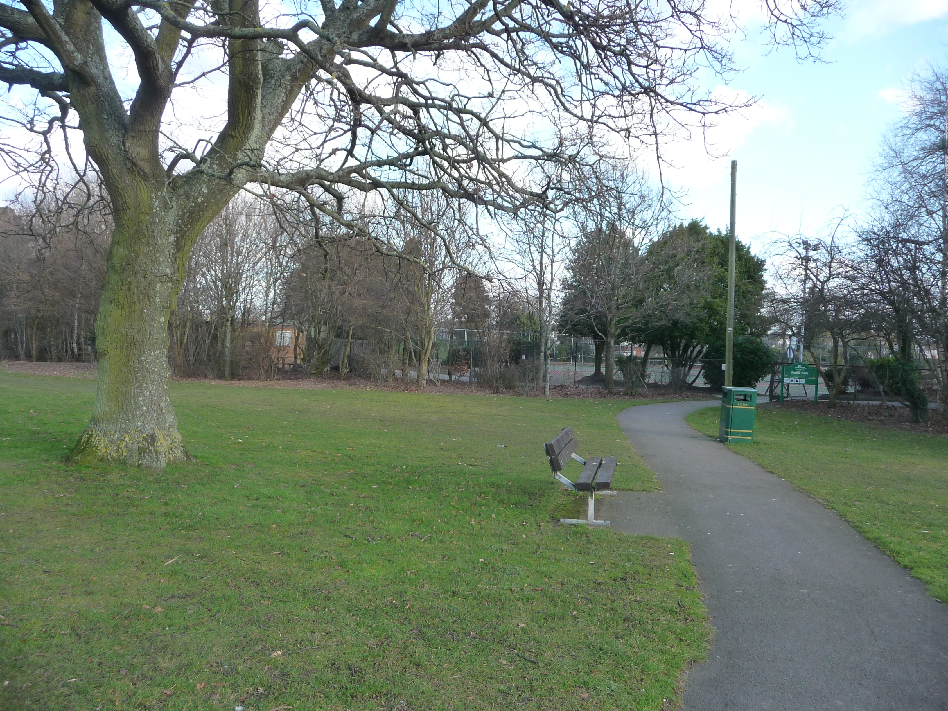
Redhill is a northern suburb of Bournemouth, Dorset in England. Geography Redhill borders Ensbury Park from the west, Northbourne, Bournemouth, Northbourne to the north, Moordown to the west and Winton, Dorset, Winton to the south. Park Redhill is centred on Redhill Park. Politics Redhill is part of the Redhill and Northbourne (ward), Redhill and Northbourne ward for elections to Bournemouth, Christchurch and Poole Council which elects two councillors. Redhill is part of the Bournemouth West (UK Parliament constituency), Bournemouth West United Kingdom constituencies, parliamentary constituency. References Areas of Bournemouth {{Dorset-geo-stub ... [...More Info...] [...Related Items...] OR: [Wikipedia] [Google] [Baidu] |
Kinson (ward)
Kinson is an electoral ward in Bournemouth, Dorset, England. Since 2019, the ward has elected 3 councillors to Bournemouth, Christchurch and Poole Council. History The Kinson area was formerly part of two wards on Bournemouth Borough Council; Kinson North and Kinson South. Kinson has elected councillors from Labour and the Liberal Democrats since 1999, but elected 3 Conservatives in 2019. In 2021, former Kinson North councillor David Turtle was jailed for the murder of his wife. Geography The Kinson ward covers the suburb of Kinson Kinson is a former village which has been absorbed by the town of Bournemouth in the county of Dorset in England. The area became part of Bournemouth on 1 April 1931. There were two electoral wards containing the name Kinson (North & South). The ..., as well as the areas of West Howe and Turbary Park, as well as parts of East Howe. Councillors Election results References Wards of Bournemouth, Chri ... [...More Info...] [...Related Items...] OR: [Wikipedia] [Google] [Baidu] |
Bournemouth, Christchurch And Poole
Bournemouth, Christchurch and Poole (BCP) is a unitary authority area in the ceremonial county of Dorset, England. It was created on 1 April 2019 by the merger of the areas that were previously administered by the unitary authorities of Bournemouth and Poole, and the non-metropolitan district of Christchurch, Dorset, Christchurch. The authority covers much of the area of the South East Dorset conurbation, South Dorset conurbation. Background Bournemouth and Christchurch are Historic counties of England, historically part of the county of Hampshire, whilst Poole is historically a part of Dorset and was a county corporate. By the mid 20th century the towns had begun to coalesce as a List of urban areas in the United Kingdom, conurbation, and in the Local Government Act 1972, 1974 Local Government Act the three areas were brought together under the ceremonial county The counties and areas for the purposes of the lieutenancies, also referred to as the lieutenancy areas of En ... [...More Info...] [...Related Items...] OR: [Wikipedia] [Google] [Baidu] |
Alderney, Dorset
Alderney is a suburb of the town of Poole in Dorset, England with a population of 11,196, increasing to 11,423 at the 2011 Census. Alderney is south of Wallisdown and west of Alder Hills. Alderney is part of the Alderney and Bourne Valley ward for council elections. Geography The boundaries of Alderney are roughly defined as being all areas north of Herbert Avenue, west of Alder Road (between the junction at Herbert Avenue and the Wallisdown roundabout), south of Wallisdown Road (between Wallisdown and Mountbatten roundabouts) and streets branching off both sides of Ringwood Road (between Mountbatten roundabout and the junction with Herbert Avenue) This definition is for the ward of Alderney as defined by the borough of Poole in its ward profiling, although some areas are more commonly referred to as other suburbs e.g. the area southwest of Walisdown roundabout is often referred to as Wallisdown (historically Highmore) and the area around the junction of Herbert Avenue and A ... [...More Info...] [...Related Items...] OR: [Wikipedia] [Google] [Baidu] |
Winton East (ward)
Winton East is a ward in Bournemouth, Dorset. Since 2019, the ward has elected 2 councillors to Bournemouth, Christchurch and Poole Council. History The ward formerly elected councillors to Bournemouth Borough Council before it was abolished in 2019. Geography The Winton East ward is in Bournemouth, centred on the eastern areas of Winton and the western areas of Charminster. Councillors Two Green councillors. Election results 2019 Bournemouth, Christchurch and Poole Council election The 2019 Bournemouth, Christchurch and Poole Council election took place on 2 May 2019 to elect the inaugural members of Bournemouth, Christchurch and Poole Council in England, formed from the former unitary authorities of Bournemouth and Po ... References {{BCP Wards Wards of Bournemouth, Christchurch and Poole ... [...More Info...] [...Related Items...] OR: [Wikipedia] [Google] [Baidu] |
Wallisdown And Winton West (ward)
Wallisdown and Winton West is a ward in Bournemouth, Dorset. Since 2019, the ward has elected 2 councillors to Bournemouth, Christchurch and Poole Council. History The ward formerly elected councillors to Bournemouth Borough Council before it was abolished in 2019. Geography The Wallisdown and Winton West ward is in Bournemouth, covering the suburbs of Wallisdown, Talbot Village, Slades Farm, Victoria Park, the southern areas of Ensbury Park and Redhill and the western areas of Winton. Elections 2019 Bournemouth, Christchurch and Poole Council election The 2019 Bournemouth, Christchurch and Poole Council election took place on 2 May 2019 to elect the inaugural members of Bournemouth, Christchurch and Poole Council in England, formed from the former unitary authorities of Bournemouth and Po ... References {{BCP Wards Wards of Bournemouth, Christchurch and Poole ... [...More Info...] [...Related Items...] OR: [Wikipedia] [Google] [Baidu] |
Talbot And Branksome Woods (ward)
Talbot and Branksome Woods is a ward in Dorset. Since 2019, the ward has elected 3 councillors to Bournemouth, Christchurch and Poole Council. Geography The ward crosses the boundary of Bournemouth and Poole and covers the suburbs of Talbot Woods, Branksome Woods and Meyrick Park, and parts of Talbot Village and Charminster. The Talbot Campus of the Bournemouth University is also in the ward. Elections 2019 Bournemouth, Christchurch and Poole Council election The 2019 Bournemouth, Christchurch and Poole Council election took place on 2 May 2019 to elect the inaugural members of Bournemouth, Christchurch and Poole Council in England, formed from the former unitary authorities of Bournemouth and Po ... References {{BCP Wards Wards of Bournemouth, Christchurch and Poole ... [...More Info...] [...Related Items...] OR: [Wikipedia] [Google] [Baidu] |
Redhill And Northbourne (ward)
Redhill and Northbourne is a ward in Bournemouth, Dorset. Since 2019, the ward has elected 2 councillors to Bournemouth, Christchurch and Poole Council. History The ward formerly elected councillors to Bournemouth Borough Council before it was abolished in 2019. Geography Redhill and Northbourne ward is the north of Bournemouth, covering the suburbs of Redhill, Northbourne and Hill View, the northern areas of Ensbury Park and the eastern areas of East Howe. Councillors Two Independent councillors. On 3 October 2022, Jackie Edwards left the Conservatives Conservatism is a cultural, social, and political philosophy that seeks to promote and to preserve traditional institutions, practices, and values. The central tenets of conservatism may vary in relation to the culture and civilization in ... to sit as an Independent. Election results 2023 2019 Notes References {{BCP Wards Wards of Bournemouth, Christchurch an ... [...More Info...] [...Related Items...] OR: [Wikipedia] [Google] [Baidu] |
Borough Of Bournemouth
Bournemouth Borough Council was the local authority of Bournemouth in Dorset, England and ceased to exist on 1 April 2019. It was a unitary authority, although between 1974 and 1997 it was an administrative district council with Dorset. Previously most of the borough was part of Hampshire. The Borough can trace its history back to 27 August 1890 when the Municipal Borough of Bournemouth was created by Royal Charter. On 1 April 1900 it received County Borough status which lasted until 1974. In February 2018 the 'Future Dorset' plan was approved by the Secretary of State for Housing, Communities and Local Government Sajid Javid. Bournemouth, Christchurch and Poole borough councils merged on 1 April 2019 into Bournemouth, Christchurch and Poole Council. Government and politics The borough was administered by Bournemouth Borough Council. Wards The council had 18 wards covering the borough. * Boscombe East * Bo ... [...More Info...] [...Related Items...] OR: [Wikipedia] [Google] [Baidu] |
Winton, Dorset
Winton is a suburb of Bournemouth in Dorset, England (historically in Hampshire). It lies approximately north of Bournemouth town centre, along Wimborne Road (the A347). Winton is to the east of Wallisdown, Victoria Park and Talbot Woods and south of Moordown. Winton gave its name to Winton, Queensland. History The name Winton was derived from Wintoun Castle in Scotland, which was home to the Archibald Montgomerie, 13th Earl of Eglinton, a relative of the Talbot family: landowners who started the development of Winton. At the beginning of the 19th century the area was just rough heathland, with just a track linking ancient Moordown Village to Horseshoe Common. In 1805 this all changed when a new main road through Winton was put in and named Muscliff Road (today it is known as Wimborne Road). Around 1850, wealthy Scottish philanthropists Georgina and Mary Talbot saw the plight of local workers and set about trying to improve their lives by purchasing land along the road and ... [...More Info...] [...Related Items...] OR: [Wikipedia] [Google] [Baidu] |
West Cliff, Bournemouth
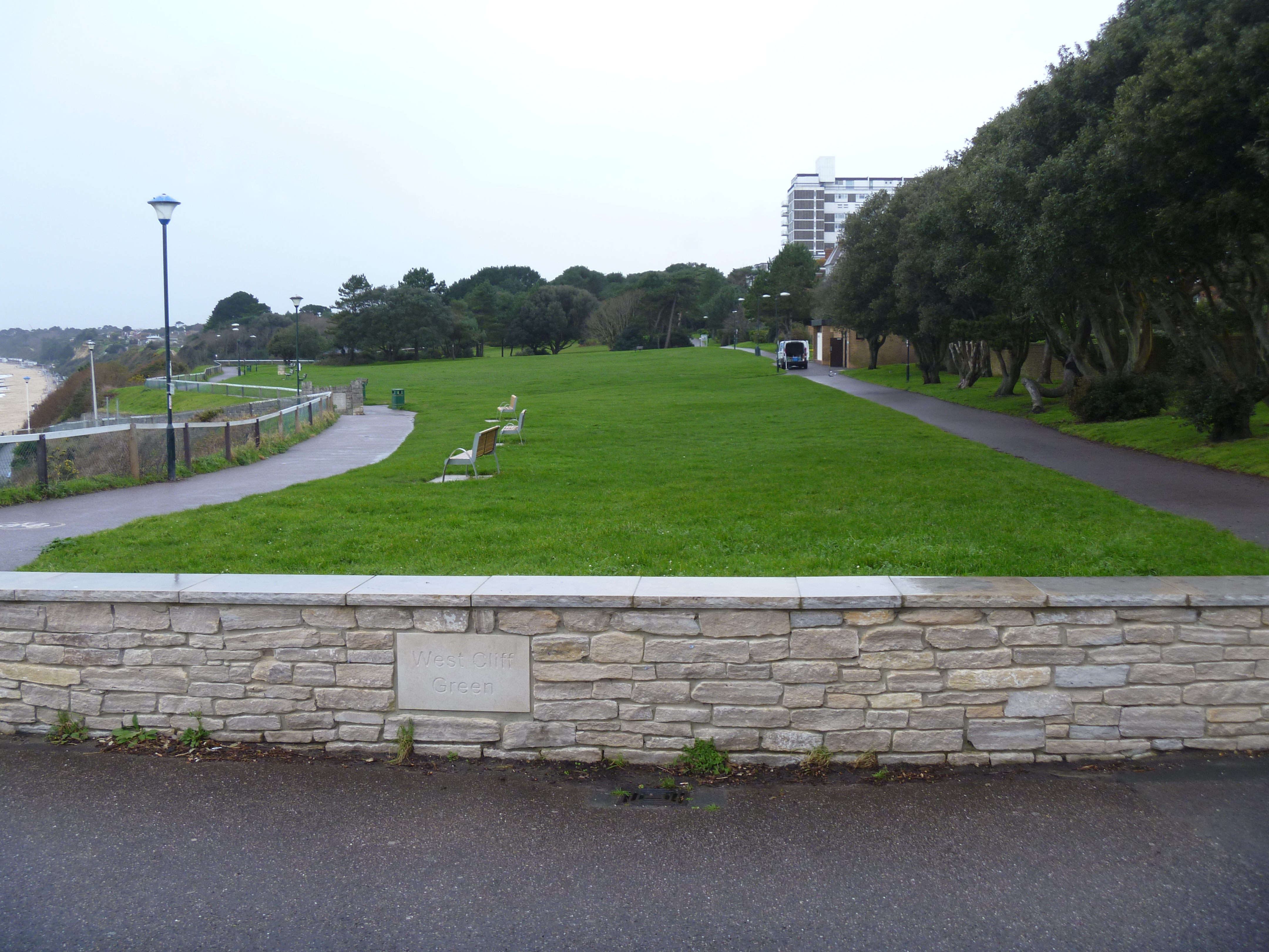
West Cliff is a suburb of Bournemouth, Dorset, England. West Cliff is south of Westbourne and east of Branksome in Poole. Politics West Cliff is part of the Bournemouth West constituency An electoral district, also known as an election district, legislative district, voting district, constituency, riding, ward, division, or (election) precinct is a subdivision of a larger State (polity), state (a country, administrative region, .... Transport The area is served by the West Cliff Railway. References Areas of Bournemouth Conservation areas in Dorset {{Dorset-geo-stub ... [...More Info...] [...Related Items...] OR: [Wikipedia] [Google] [Baidu] |


