|
Bondarsky District
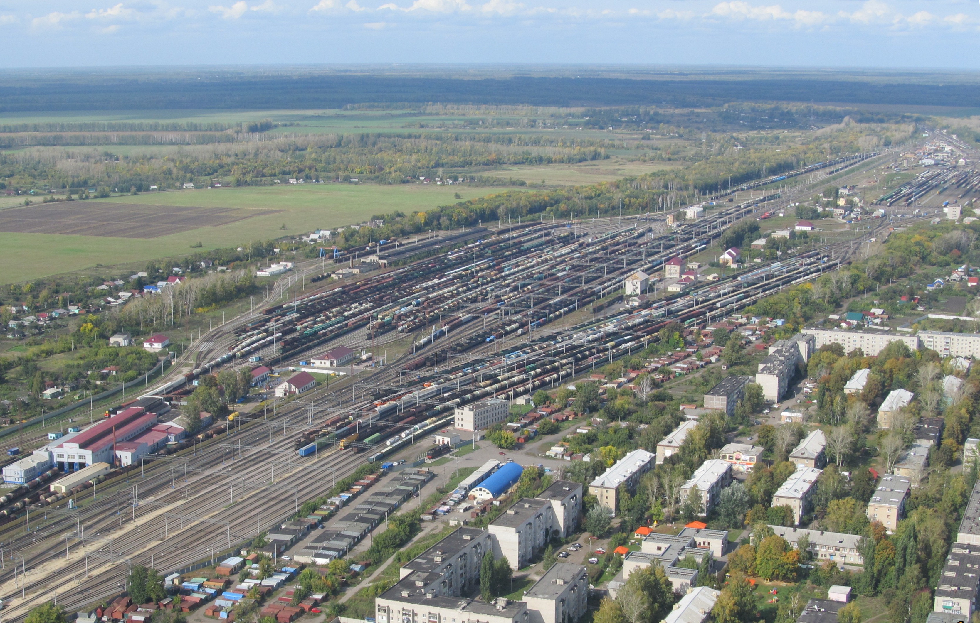
Bondarsky District (russian: Бо́ндарский райо́н) is an administrativeLaw #72-Z and municipalLaw #232-Z district (raion), one of the twenty-three in Tambov Oblast, Russia. It is located in the northeastern central part of the oblast. The district borders with Pichayevsky District in the north, Gavrilovsky District in the east, Rasskazovsky District in the south, and with Tambovsky District in the west. The area of the district is . Its administrative center is the rural locality (a '' selo'') of Bondari. Population: 13,191 ( 2010 Census); The population of Bondari accounts for 44% of the district's total population. The district has 11 villages and 56 rural settlements. Geography Bondarsky District is in the east-central region of Tambov Oblast, about 20 km northeast of the city of Tambov, and 40 km south of Morshansk. There are three main rivers running south-to-north through the district – the Bolshoy Lomovis through the middle, the Malaya Lomov ... [...More Info...] [...Related Items...] OR: [Wikipedia] [Google] [Baidu] |
Tambov Oblast
Tambov Oblast (russian: Тамбо́вская о́бласть, ''Tambovskaya oblast'') is a federal subject of Russia (an oblast). Its administrative center is the city of Tambov. As of the 2010 Census, its population was 1,091,994. Geography Tambov Oblast is situated in forest steppe. It borders on the Ryazan, Penza, Saratov, Voronezh and Lipetsk Oblasts. History The oldest known population of the Tambov region, the Mordovians-Moksha, formed as a nation of local ethnic groups from the 6th century BC. The first Russian settlers arrived in the pre-Mongol period, but the final settlement occurred in the 17th century. To protect the southern borders of Russia from the raids of the Tatars, and to further develop the Black Soil region, the Russian government built the walled cities of Kozlov (1635) and Tambov (1636). The cities protected the main path of nomad raids on Russian land and paved the way for a quick settlement of the region. Kozlovsky Uyezd originally existed ... [...More Info...] [...Related Items...] OR: [Wikipedia] [Google] [Baidu] |
Tambov
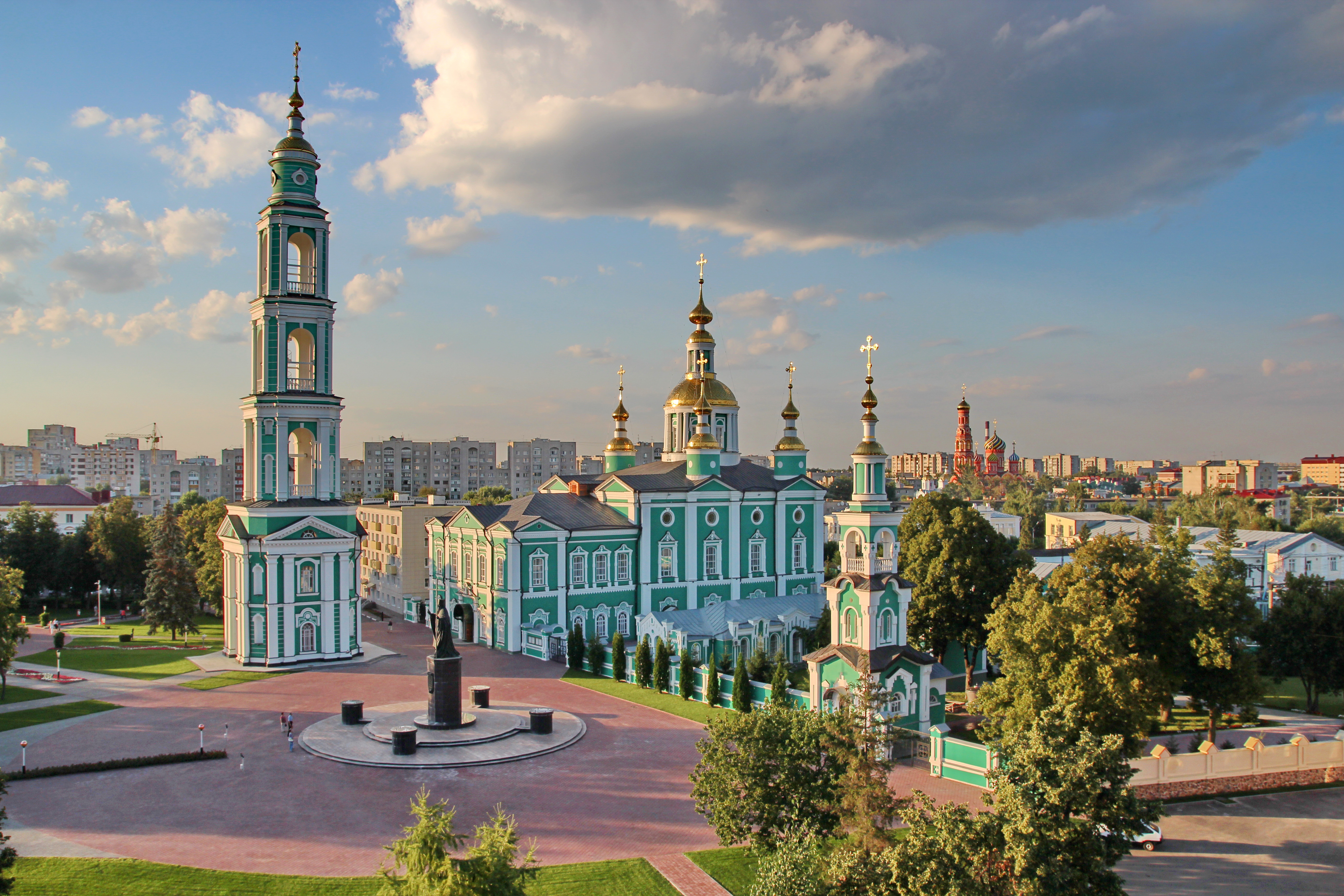
Tambov (, ; rus, Тамбов, p=tɐmˈbof) is a types of inhabited localities in Russia, city and the administrative center of Tambov Oblast, Central Federal District, central Russia, at the confluence of the Tsna River (Moksha basin), Tsna and Studenets Rivers, about south-southeast of Moscow. Population: 280,161 (Russian Census (2010), 2010 Census); 293,658 (Russian Census (2002), 2002 Census); Etymology The name "Tambov" originates from the Moksha language, Mokshan word( mdf, томбале, tombale, the other side, the remote one) Geography Urban layout In terms of its layout, Tambov was no different from other fortified cities - the Kremlin, the prison and a small settlement. The chosen place was in full compliance with the requirements of the fortification. From the north and east, the new fortress was washed by rivers, and from the west and south it was protected by artificial ditches filled with water by the Studenets River. The Kremlin was surrounded by a six-meter w ... [...More Info...] [...Related Items...] OR: [Wikipedia] [Google] [Baidu] |
Humid Continental Climate
A humid continental climate is a climatic region defined by Russo-German climatologist Wladimir Köppen in 1900, typified by four distinct seasons and large seasonal temperature differences, with warm to hot (and often humid) summers and freezing cold (sometimes severely cold in the northern areas) winters. Precipitation is usually distributed throughout the year but often do have dry seasons. The definition of this climate regarding temperature is as follows: the mean temperature of the coldest month must be below or depending on the isotherm, and there must be at least four months whose mean temperatures are at or above . In addition, the location in question must not be semi-arid or arid. The cooler ''Dfb'', ''Dwb'', and ''Dsb'' subtypes are also known as hemiboreal climates. Humid continental climates are generally found between latitudes 30° N and 60° N, within the central and northeastern portions of North America, Europe, and Asia. They are rare and isolat ... [...More Info...] [...Related Items...] OR: [Wikipedia] [Google] [Baidu] |
Precipitation (meteorology)
In meteorology, precipitation is any product of the condensation of atmospheric water vapor that falls under gravitational pull from clouds. The main forms of precipitation include drizzle, rain, sleet, snow, ice pellets, graupel and hail. Precipitation occurs when a portion of the atmosphere becomes saturated with water vapor (reaching 100% relative humidity), so that the water condenses and "precipitates" or falls. Thus, fog and mist are not precipitation but colloids, because the water vapor does not condense sufficiently to precipitate. Two processes, possibly acting together, can lead to air becoming saturated: cooling the air or adding water vapor to the air. Precipitation forms as smaller droplets coalesce via collision with other rain drops or ice crystals within a cloud. Short, intense periods of rain in scattered locations are called showers. Moisture that is lifted or otherwise forced to rise over a layer of sub-freezing air at the surface may be condense ... [...More Info...] [...Related Items...] OR: [Wikipedia] [Google] [Baidu] |
Volga Uplands
The Volga Upland, also known as the Volga Uplands, Volga Hills, or Volga Plateau, (Russian: Приволжская возвышенность - Privolzhskaya vozvyshennost) is a vast region of the East European Plain in the European part of Russia that lies west of the Volga River and east of the Central Russian Upland. The uplands lie in the cool continental climate zone, characterised by large fluctuations in seasonal temperatures and generally little rainfall. Outside of the cities in the region, population density is generally between 28 and 129 inhabitants per square mile. Geography The uplands run for approximately in a southwest-northeasterly direction from Volgograd to Kazan. The Tsimlyansk Reservoir lies at the southwestern end of the Volga Upland, with the Kuybyshev Reservoir at the northeastern end. The landscape on the Volga Uplands is hilly, and several rivers have cut into it, such as the Khopyor, Medveditsa and the Sura. The Volga-Don Canal cuts through th ... [...More Info...] [...Related Items...] OR: [Wikipedia] [Google] [Baidu] |
Oka–Don Lowland
The Oka–Don Lowlands (russian: Окско-Донская равнина) (also: Oka–Don Plain), is a flat plain in European Russia, bounded on the north by the Oka River (and the Meshchera Lowlands), on the south by the Don River, on the west by the Central Russian Upland, and on the east by the Volga Upland. The area is part of the larger East European Plain. The terrain is flat, with altitude averaging 160 meters above sea level, and the rivers meander on broad floodplains. Agricultural use of the plain is high, mostly for grain growing – wheat, barley and rye. The plain provides a flat south–north route for transportation, situated between uplands. Until a line of forts was built across the territory by the Russian government in the 1640s (the Belgorod Line), the plain was a route for Tatar invasion from the south. Topography The plain is about 250 km west–east, and 500 km north–south. The central and southern parts are sometimes called the "Tambov plain", ... [...More Info...] [...Related Items...] OR: [Wikipedia] [Google] [Baidu] |
Volga River
The Volga (; russian: Во́лга, a=Ru-Волга.ogg, p=ˈvoɫɡə) is the List of rivers of Europe#Rivers of Europe by length, longest river in Europe. Situated in Russia, it flows through Central Russia to Southern Russia and into the Caspian Sea. The Volga has a length of , and a catchment area of «Река Волга» , Russian State Water Registry which is more than twice the size of Ukraine. It is also Europe's largest river in terms of average discharge (hydrology), discharge at delta – between and – and of drainage basin. It is widely regarded as the Rivers in Russia, national river of Russia. The hypothetical old Russian state, the Rus' Khaganate, arose along the Volga . Historically, the river served as an important meeting place of various Eurasian civilizations. The river flows in Russia through forests, Fo ... [...More Info...] [...Related Items...] OR: [Wikipedia] [Google] [Baidu] |
Moksha River
Moksha (, ) is a river in central Russia, a right tributary of the Oka. It flows through Penza Oblast, Nizhny Novgorod Oblast, Ryazan Oblast and the Republic of Mordovia, and joins the Oka near Pyatnitsky Yar, near the city of Kasimov. It is in length, and has a drainage basin of .«Река МОКША» Russian State Water Registry In the 1950s, several hydroelectric power stations were built in the middle course of the river, but without navigable locks. In 1955, 2 km below the mouth of the river. Prices on the Moksha River built Rasypukhinsky hydro-power plant with a hydroelectric power station and a wooden shipping lock. Navigation on the river was carried out until the mid-1990s. On the Moksha is the Trinity-Scans monastery, the Nativity-Theotokos Sanaksar Monastery and the Krasnoslobodsky Savior-Transfiguration Monas ... [...More Info...] [...Related Items...] OR: [Wikipedia] [Google] [Baidu] |
Malaya Lomovis
Malaya refers to a number of historical and current political entities related to what is currently Peninsular Malaysia in Southeast Asia: Political entities * British Malaya (1826–1957), a loose collection of the British colony of the Straits Settlements and the British protectorates of the Malay States * Malayan Union (1946–1948), a post-war British colony consisting of all the states and settlements in British Malaya except Singapore * Federation of Malaya (1948–1963), the successor to the Malayan Union, which gained independence within the Commonwealth of Nations in 1957 * States of Malaya (1963-Present), the States of the Federation of Malaya following the merger with the self-governing State of Singapore and the Colonies of North Borneo (renamed Sabah), Sarawak to form the Federation of Malaysia Geography Malaya comprises the States of Malaya and Singapore Science * ''Megisba malaya'', a butterfly commonly called the Malayan People * Malaya Akulukjuk (born 1915?) ... [...More Info...] [...Related Items...] OR: [Wikipedia] [Google] [Baidu] |
Bolshoy Lomovis , St.Petersburg
*
*
{{disambiguation ...
Bolshoi (, meaning ''big'', ''large'', ''great'', ''grand'', etc.) may refer to: *Bolshoi Theatre, a ballet and opera theatre in Moscow, Russia **Bolshoi Ballet, a ballet company at the Bolshoi Theatre *Bolshoi Theatre, Saint Petersburg, a ballet and opera theatre in St. Petersburg, Russia *The Bolshoi, an English post-punk band * 26793 Bolshoi, a main-belt asteroid *Bolshoi Cosmological Simulation, a NASA simulation of the universe *Bolshoi, a bell in Danilov Monastery, Moscow *Command Bolshoi, Japanese professional wrestler See also *Alisher Navoi State Academic Bolshoi Theatre, Uzbekistan *Bolshoi Drama Theatre Tovstonogov Bolshoi Drama Theater (russian: Большой драматический театр имени Г. А. Товстоногова; literally ''Tovstonogov Great Drama Theater''), formerly known as Gorky Bolshoi Drama Theater (russian: ... [...More Info...] [...Related Items...] OR: [Wikipedia] [Google] [Baidu] |
Morshansk
Morshansk (russian: Морша́нск) is a town in Tambov Oblast, Russia, located on the Tsna River (Oka's basin) north of Tambov. Population: 44,000 (1970). History The exact origins of Morshansk are unknown; however, documents mention a populated place in this location since at least the 16th century. Formerly a village called Morsha (), it was granted town status in 1779 by Catherine the Great because of its growth in relation to the fact that it was a major bread trading center on the Tsna River. Morshansk (Tambov Oblast) 03-2014 img04 Trinity Cathedral.jpg, Trinity Cathedral in Morshansk Morshansk (Tambov Oblast) 03-2014 img05 Trinity Cathedral.jpg, Trinity Cathedral (remote view) Morshansk (Tambov Oblast) 03-2014 img12 IntStreet.jpg, A listed house Morshansk (Tambov Oblast) 03-2014 img02 Assumption Church.jpg, Assumption Church (Old Believers) Morshansk (Tambov Oblast) 03-2014 img15 StNicholas Church.jpg, Church of St. Nicholas Administrative and municipal status ... [...More Info...] [...Related Items...] OR: [Wikipedia] [Google] [Baidu] |


