|
Blythe Intake
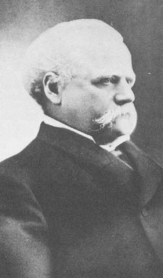
The Blythe Intake is the place of the first irrigation canal to feed water to the Palo Verde Valley in 1877. It is located just north of Blythe, California in Riverside County, California. The Blythe Intake was designated a California Historic Landmark (No.948) on March 1, 1982. The site of the Blythe Intake is currently at the Palo Verde Dam. In the early or mid-1870s, William Calloway (known as Oliver Calloway in some sources), an engineer and a former captain of the 1st California Infantry Regiment, explored an area across the Colorado River from Ehrenberg, Arizona and found its potential for development. Calloway made preliminary surveys and filed land claims under the Swamp Land Act of 1850. He interested the wealthier Thomas Henry Blythe (1882-April 4, 1883), born Thomas Williams in Mold, Wales, to undertake development and settlement of an "empire" located next to the Colorado. On July 17, 1877, Blythe filed his first claim for Colorado River water on what was to becom ... [...More Info...] [...Related Items...] OR: [Wikipedia] [Google] [Baidu] |
Palo Verde Dam
The Palo Verde Dam (officially called the Palo Verde Diversion Dam) is a diversion dam on the Colorado River in La Paz County, Arizona, and Riverside County, California, in the southwestern United States, approximately northeast of Blythe. The dam is earthen and rockfill, built solely to divert water into irrigation canals serving the Palo Verde Irrigation District. It measures long at its crest, which is at an elevation of , and stands high above the riverbed, containing approximately of material. Construction of the dam, which began in 1956 and ended in 1958, was authorized by the U.S. Bureau of Reclamation. The dam was constructed to raise the water level of the river because the upstream Hoover and Davis Dams blocked sediment, causing significant degradation of the riverbed that hampered water diversion. The dam diverts about of water per second to irrigate of the Palo Verde Valley and mesa lands on the west side of the Colorado River in California. The headworks of the d ... [...More Info...] [...Related Items...] OR: [Wikipedia] [Google] [Baidu] |
Lower Colorado River Valley
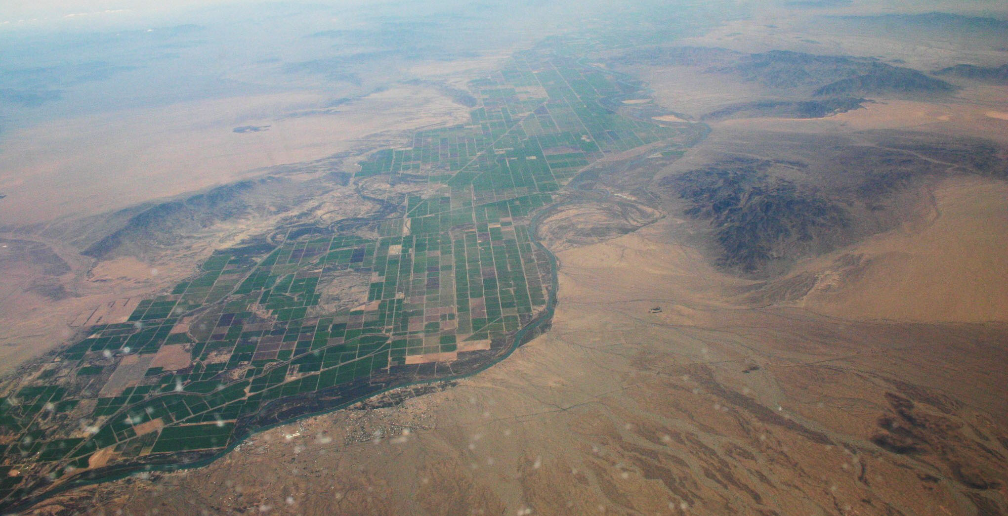
The Lower Colorado River Valley (LCRV) is the river region of the lower Colorado River of the southwestern United States in North America that rises in the Rocky Mountains and has its outlet at the Colorado River Delta in the northern Gulf of California in northwestern Mexico, between the states of Baja California and Sonora. This north–south stretch of the Colorado River forms the border between the U.S. states of California/Arizona and Nevada/Arizona, and between the Mexican states of Baja California/Sonora. It is commonly defined as the region from below Hoover Dam and Lake Mead to its outlet at the northern Gulf of California (Sea of Cortez); it includes the Colorado River proper, canyons, the valley, mountain ranges with wilderness areas, and the floodplain and associated riparian environments. It is home to recreation activities from the river, the lakes created by dams, agriculture, and the home of various cities, communities, and towns along the river, or associated ... [...More Info...] [...Related Items...] OR: [Wikipedia] [Google] [Baidu] |
California Historical Landmark
A California Historical Landmark (CHL) is a building, structure, site, or place in California that has been determined to have statewide historical landmark significance. Criteria Historical significance is determined by meeting at least one of these criteria: # The first, last, only, or most significant of its type in the state or within a large geographic region ( Northern, Central, or Southern California); # Associated with an individual or group having a profound influence on the history of California; or # An outstanding example of a period, style, architectural movement or construction; or is the best surviving work in a region of a pioneer architect, designer, or master builder. Other designations California Historical Landmarks numbered 770 and higher are automatically listed in the California Register of Historical Resources. A site, building, feature, or event that is of local (city or county) significance may be designated as a California Point of Historical Inte ... [...More Info...] [...Related Items...] OR: [Wikipedia] [Google] [Baidu] |
Dome Rock Mountains
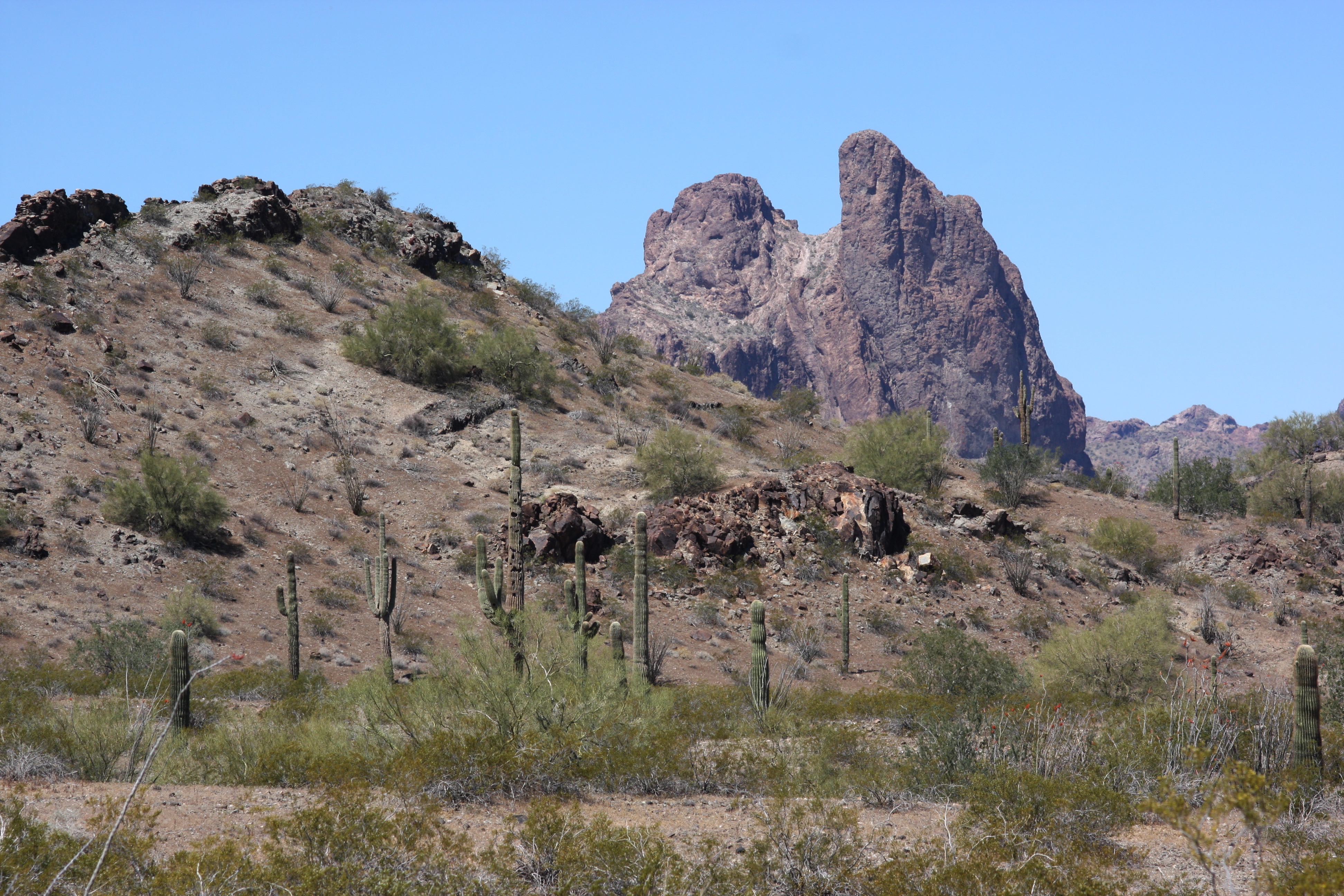
The Dome Rock Mountains are a mountain range in southern La Paz County, Arizona. The range borders the Colorado River on the west and the Colorado River Indian Reservation on the northwest located in the Lower Colorado River Valley. Quartzsite, Arizona lies on the eastern foothills of the range. The Dome Rock Mountains are on the southwest of the regional Maria fold and thrust belt. Range summary The Dome Rock Mountains are a north-south trending range about long. The Palo Verde Valley borders the range on the west, adjacent to the Colorado River. Interstate 10 bisects the range connecting Ehrenberg on the Colorado River with Quartzsite to the east of the mountains. Quartzsite lies on the western edge of the La Posa Plain which drains the western Kofa National Wildlife Refuge. The Tyson Wash drainage flows north at the western perimeter of the La Posa Plain and turns westwards at the north end of the Dome Rock Mountains to meet the Colorado River region.''Arizona Atlas ... [...More Info...] [...Related Items...] OR: [Wikipedia] [Google] [Baidu] |
Little Maria Mountains
The Little Maria Mountains are located in southeastern California in the United States. The range lies in a northwest-southeasterly direction east of the Palen Mountains and west of the Big Maria Mountains. The mountain range is approximately 15 miles long and is located about 12.6 miles north of Interstate 10, and 12 miles southwest of the abandoned Rice Army Airfield near State Route 62. The Victor Mine is found at the southeastern end of the range near Midland. Geology The Little Maria Mountains are one of several ranges that constitute the Maria Fold and Thrust Belt. The Maria Fold and Thrust Belt underwent generally thick-skinned (involving basement rocks) North-South trending crustal shortening in the Cretaceous. The structures of the MFTB are exposed by later generally East-West trending large-scale crustal extension in the Miocene, through what is known to geologists as the Colorado River Extensional Corridor. This North-South shortening is anomalous, as crustal shorten ... [...More Info...] [...Related Items...] OR: [Wikipedia] [Google] [Baidu] |
Chocolate Mountains
The Chocolate Mountains of California are located in Imperial and Riverside counties in the Colorado Desert of Southern California. The mountains stretch more than 60 miles (100 km) in a northwest to southeast direction, and are located east of the Salton Sea and south and west of the Chuckwalla Mountains and the Colorado River. To the northwest lie the Orocopia Mountains. Geography The Chocolate Mountains form the northeast boundary of the Salton Trough extending as a narrow range some southeast from the Orocopia Mountains to the Colorado River valley. The mountains are located about west of the Chocolate Mountains of Arizona, but the two ranges are not connected. The range reaches an elevation of 2,475 feet (754 m) at Mount Barrow, and serves as a drainage divide for the Salton Watershed to the west. The mountains receive very little rainfall in a normal year, typically 4-6 inches (100 to 150 mm). The predominant natural plants are of the creosote bush–whit ... [...More Info...] [...Related Items...] OR: [Wikipedia] [Google] [Baidu] |
McCoy Mountains
The McCoy Mountains are located in southeastern California in the United States. The southeast terminus of the range lies adjacent the western edge of the Parker Valley in a southern stretch of the Lower Colorado River Valley corridor. Geography The range lies in a northwest-southeasterly direction east of the Palen Mountains and south of the Little Maria Mountains. The mountain range is approximately 18 miles long and is located just north of Interstate 10, and about seven miles northeast of Chuckawalla Valley State Prison. The mountains reach an elevation of 2,054 feet above sea level at McCoy Peak, at the southern end of the range. Downtown Blythe, California is about 10 miles to the east. Palen/McCoy Wilderness Area The McCoy Mountains are in thPalen/McCoy Wilderness Area managed by the Bureau of Land Management. Within the Palen-McCoy Wilderness are the Granite, McCoy, Palen, Little Maria, and Arica Mountains, which are five distinct mountain ranges separated by broad ... [...More Info...] [...Related Items...] OR: [Wikipedia] [Google] [Baidu] |
Big Maria Mountains
The Big Maria Mountains are located in the southeastern part of the U.S. state of California, near the Colorado River and Arizona. The range lies between Blythe and Vidal, and west of U.S. Route 95 in California and east of Midland. The mountains are home to the Eagle Nest Mine and reach an elevation of 1,030 meters, (3,379 ft). A power line that runs from Parker Dam to Yuma, Arizona runs through the range. A smaller range, the Little Maria Mountains, lie to the west of the Big Marias. Geology The Big Maria Mountains are one of several ranges that constitute the Maria fold and thrust belt (MFTB). The MFTB underwent generally thick-skinned (involving basement rocks) north–south trending crustal shortening in the Cretaceous. The structures of the MFTB are exposed by to later generally east–west trending large-scale crustal extension in the Miocene, through what is known to geologists as the Colorado River Extensional Corridor This north–south shortening is anomal ... [...More Info...] [...Related Items...] OR: [Wikipedia] [Google] [Baidu] |
La Paz County
La Paz County is the 15th county in the U.S. state of Arizona, located in the western part of the state. As of the 2020 census, its population was 16,557, making it the second-least populous county in Arizona. The county seat is Parker. The name of the county is the Spanish word for "the peace", and is taken from the early settlement (now ghost town) of La Paz along the Colorado River. History La Paz County was established in 1983 after voters approved separating the northern portion of Yuma County, making it the only county to be established after Arizona became a state in 1912, and currently the second youngest county in the United States (behind the consolidated city-county of Broomfield, Colorado, which was established in 2001). The county did not have a large enough tax base to begin supporting a separate county government immediately and had to rely on state money at first. As a result, Arizona laws were changed to make splitting other existing counties much more dif ... [...More Info...] [...Related Items...] OR: [Wikipedia] [Google] [Baidu] |
Imperial County, California
Imperial County is a county on the southeast border of the U.S. state of California. As of the 2020 census, the population was 179,702, making it the least populous county in Southern California. The county seat is El Centro. Imperial is the most recent California county to be established, as it was created in 1907 out of portions of San Diego County. Imperial County is located in the far southeast of California, in the Imperial Valley. It borders San Diego County to the west, Riverside County to the north, the U.S. state of Arizona to the east and the Mexican state of Baja California to the south. It includes the El Centro Metropolitan Statistical Area and is part of the Southern California border region, the smallest but most economically diverse region in the state. Although this region is a desert, with high temperatures and low average rainfall of per year, the economy is strongly based on agriculture. This is supported by irrigation, with water supplied wholly fro ... [...More Info...] [...Related Items...] OR: [Wikipedia] [Google] [Baidu] |
Parker Valley
The Parker Valley is located along the Lower Colorado River within the Lower Colorado River Valley region, in southwestern Arizona and southeastern California. Its natural habitats are within the Sonoran Desert (Arizona) and Colorado Desert (California) ecoregions. Riparian zone habitats on the river include Mesquite Bosques. The river has supported irrigated agricultural conversion of the valley's landscape. Geography Three major drainages of the Colorado River enter in the Parker Valley region. The Bill Williams River and Bouse Wash have confluences with the Colorado in the northern valley area, from watersheds on the east. Tyson Wash crosses the La Posa Plain and enters downstream, with its watershed east of the river in the Colorado River Indian Reservation. In California, the Vidal Valley and the Whipple Mountains border the Parker Valley on the northwest, and the Palo Verde Valley on the southwest. In Arizona the Buckskin Mountains border the valley on the north, the ... [...More Info...] [...Related Items...] OR: [Wikipedia] [Google] [Baidu] |
Sonoran Desert
The Sonoran Desert ( es, Desierto de Sonora) is a desert in North America and ecoregion that covers the northwestern Mexican states of Sonora, Baja California, and Baja California Sur, as well as part of the southwestern United States (in Arizona and California). It is the hottest desert in both Mexico and the United States. It has an area of . In phytogeography, the Sonoran Desert is within the Sonoran Floristic province of the Madrean Region of southwestern North America, part of the Holarctic realm of the northern Western Hemisphere. The desert contains a variety of unique endemic plants and animals, notably, the saguaro (''Carnegiea gigantea'') and organ pipe cactus (''Stenocereus thurberi''). The Sonoran Desert is clearly distinct from nearby deserts (e.g., the Great Basin, Mojave, and Chihuahuan deserts) because it provides subtropical warmth in winter and two seasons of rainfall (in contrast, for example, to the Mojave's dry summers and cold winters). This create ... [...More Info...] [...Related Items...] OR: [Wikipedia] [Google] [Baidu] |


.jpg)
