|
Black River
Black River is a common name for streams and communities around the world: in Spanish and Portuguese, ''Rio Negro''; in French, ''Rivière Noire''; in Turkish, ''Kara Su''; in Serbo-Croatian, ''Crna Reka'', Црна Река or ''Crna Rijeka'', Црна Ријека; in Macedonian, Црна Река, ''Crna Reka''. Streams Africa * Bafing River, also known as ''Black River'' * Black River (Cape Town) * Niger River, named by European mapmakers during the Middle Ages, perhaps from Latin ''niger'' "black" Australia * Black River (Queensland) * Black River (Tasmania) * Black River (Victoria) Brazil and Colombia * Black River (Amazon), known as Rio Negro in Portuguese and Río Negro or Río Guainía in Spanish Canada * Black River (Newfoundland and Labrador) * Black River (New Brunswick) * Black River (Ontario), listing eight rivers of the name * Black River (Portneuf), Quebec * Black River (Vancouver Island) * Noire River (Ottawa River tributary), Quebec, English transla ... [...More Info...] [...Related Items...] OR: [Wikipedia] [Google] [Baidu] |
Bafing River
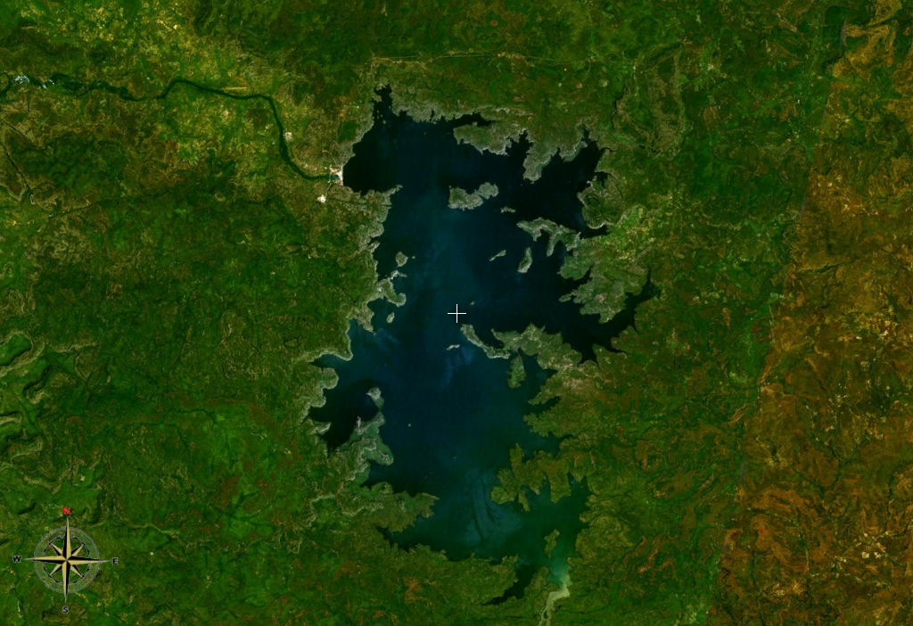
The Bafing River ( Manding for "black river") is the upper course and largest tributary of the Senegal River which runs through Guinea and Mali and is about long. Course The Fonta Djallon in Guinea is the source of the Bafing River, north of Mamou. It flows for about and converges with the Bakoy River to join the Senegal River in western Africa.. The Bafing River is the largest tributary of the Senegal River, and contributes almost half of its total water volume. The Bafing forms part of the international border between Guinea and Mali. Irrigation Flooding from the Bafing River along the Senegal River had been traditionally relied on as a means of supporting local agriculture. However, a drought in the 1970s necessitated the construction of dams on both the Bafing River and the Senegal River. The Manantali hydroelectric dam, completed in 1987, is located on the Bafing River upstream of Bafoulabé. It forms the largest artificial lake in Mali, Lake Manantali. The dam retain ... [...More Info...] [...Related Items...] OR: [Wikipedia] [Google] [Baidu] |
Ouachita River
The Ouachita River ( ) is a river that runs south and east through the U.S. states of Arkansas and Louisiana, joining the Tensas River to form the Black River near Jonesville, Louisiana. It is the 25th-longest river in the United States (by main stem). Course The Ouachita River begins in the Ouachita Mountains near Mena, Arkansas. It flows east into Lake Ouachita, a reservoir created by Blakely Mountain Dam. The North Fork and South Fork of the Ouachita flow into Lake Ouachita to join the main stream. Portions of the river in this region flow through the Ouachita National Forest. From the lake, the Ouachita flows south into Lake Hamilton, a reservoir created by Carpenter Dam, named after Flavius Josephus Carpenter. The city of Hot Springs lies on the north side of Lake Hamilton. Another reservoir, Lake Catherine, impounds the Ouachita just below Lake Hamilton. Below Lake Catherine, the river flows free through most of the rest of Arkansas. Just below Lake Catherine, th ... [...More Info...] [...Related Items...] OR: [Wikipedia] [Google] [Baidu] |
Black River (Arkansas–Missouri)
The Black River is a tributary of the White River, about long,AllRefer.com in southeastern and northeastern in the . Via the White River, it is part of the watershed. |
Black River (Arizona)
The Black River is a river in the White Mountains of the U.S. state of Arizona. It forms south of the town of Greer and west of the towns of Nutrioso and Alpine. The river flows southwest then northwest to meet the White River west of Fort Apache. The merged streams form the Salt River, a major tributary of the Gila River. Both the Salt and Gila rivers supply water to the Phoenix metro area as well as provides water for farmland and crops around the valley. James Ohio Pattie named the river in 1826 as he explored this area in Arizona's White Mountains. Course From source to mouth, the river flows through Apache, Greenlee, Graham, Navajo and Gila counties. It forms a boundary between Apache and Greenlee counties, then between Apache and Graham counties, and further downstream, between Graham and Navajo counties. Along its lower reaches, the Black River is the boundary between the Fort Apache Indian Reservation on the north and the San Carlos Indian Reservation on the ... [...More Info...] [...Related Items...] OR: [Wikipedia] [Google] [Baidu] |
Draanjik River
The Draanjik or Black River is a river in eastern Yukon-Koyukuk Census Area, Alaska, United States. It flows generally northwest from its source to its mouth on the Black River Slough of the Porcupine River near the city of Fort Yukon. In January 2014, the Alaska Historical Commission voted to rename the river to Draanjik, its Gwich'in name, a decision which later found approval by the Board of Geographic Names. The local Gwich'in name for the river is "Draanjik," which translates as "Caches Along The River." The river gives its name to the Draanjik Gwich'in of Chalkyitsik. The river has borne several other names: Big Black River (in order to distinguish it from similarly named streams), Orange Creek, Salmon Fork, Salmon River, Squirrel Creek, and Squirrel River. The Board on Geographic Names officially ruled in favor of "Black River" in 1959. See also *List of rivers of Alaska This is a List of rivers in Alaska, which are at least fifth-order according to the Strahler me ... [...More Info...] [...Related Items...] OR: [Wikipedia] [Google] [Baidu] |
Chyornaya (Crimea)
The Chorna, Chyornaya or Chorhun (, ''Chorna'', , ''Chyornaya'', ), which translates from the Ukrainian and Russian as "Black River", is a small river in southern Crimea. It is 34.5 km long. The Chorna River begins in the Baydar Valley northeast of the small town of Rodnikivs'ke (44° 28' N 33° 51' EG), just west of which it flows into a reservoir. From there it continues in a westerly direction to the town of Inkerman (Belokamensk) where it enters the Bay of Sevastopol, on the southwest coast of the Crimean peninsula. Inkerman was a key location during the Crimean War The Crimean War, , was fought from October 1853 to February 1856 between Russia and an ultimately victorious alliance of the Ottoman Empire, France, the United Kingdom and Piedmont-Sardinia. Geopolitical causes of the war included the de ... of 1853–1856 and the Chorna lends its name to the Battle of Chornaya River of 1855. {{Rivers of Ukraine Rivers of Crimea ... [...More Info...] [...Related Items...] OR: [Wikipedia] [Google] [Baidu] |
Black River (Taiwan)
The Dadu River also called Wu River, is a major river located in the Northwest of Taiwan. With a total length of it is sixth-longest river on the island. Names The Dadu River is named after a former port near its mouth, now the Dadu District of Taichung. It is also known as the , a calque of its Hokkien name. The same name appears in English as the the pinyin romanization of its Mandarin pronunciation. It received the name from the many black-winged birds that used to live along the river. Geography It flows through Taichung City, Changhua County, and Nantou County for . It is the 6th-longest river on Taiwan Island and the 4th-largest in terms of drainage area. See also *List of rivers in Taiwan This is a list of rivers ( or ) on Taiwan Island in the Republic of China which are over : * Dongshan River - Yilan County - *Lanyang River - Yilan County - **Yilan River - Yilan County - ** Qingshui River - Yilan County - ** Luodong Ri ... References Citations Bi ... [...More Info...] [...Related Items...] OR: [Wikipedia] [Google] [Baidu] |
Black River (Sri Lanka)
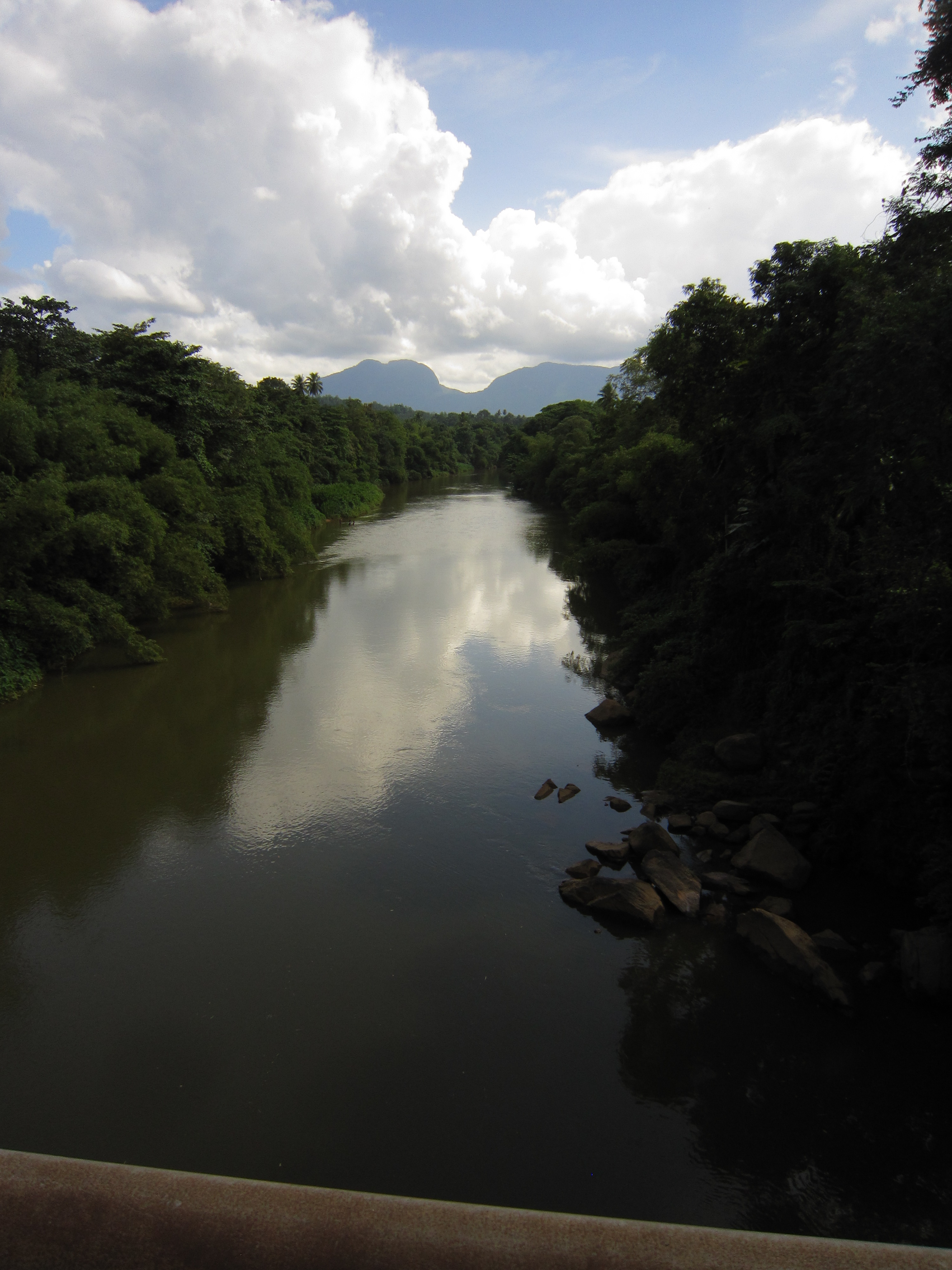
Kalu Ganga ( si, කළු ගඟ; literally: Black River) is a river in Sri Lanka. Measuring in length, the river originates from Sri Padhaya and reach the sea at Kalutara. The Black River flows through the Ratnapura and the Kalutara District and pass the city Ratnapura. The mountainous forests in the Central Province and the Sinharaja Forest Reserve are the main sources of water for the river. The Edwardian manor, Richmond Castle is on the banks of the river near Kalutara. Kalu Ganga basin is one of the most important river basins in Sri Lanka which receives very high rainfalls and has higher discharges. Due to its hydrological and topographical characteristics, the lower flood plain suffers from frequent floods and it affects the socio-economic profile greatly. During the past several years, many researchers have investigated climatic changes in the main river basins of the country, but no studies have been done on climatic changes in the Kalu Ganga basin. Theref ... [...More Info...] [...Related Items...] OR: [Wikipedia] [Google] [Baidu] |
Chernaya River (subway Station)
Chyornaya River or Chorna River ( uk, Чорна річк, Chorna Richka; russian: Чёрная река, Chyornaya Reka; sometimes russian: Чёрная речка, Chyornaya Rechka), literally "Black River", is a common name for many rivers in Russia and Ukraine. The Russian name (russian: Чёрная, ''Black'') is often transliterated as ''Chernaya'', and alternatively as ''Chyornaya'' or ''Chornaya'', which are closer to the true pronunciation. *Chyornaya (Crimea), a river in Crimea, Ukraine, also known as the Chorhun, Chornaya or Tchornaya River *Chyornaya (Veslyana) The Chyornaya (russian: Чёрная) is a river in Perm Krai and Komi Republic, Russia, a right tributary of the Veslyana, which in turn is a tributary of the Kama. The river is long, and its drainage basin covers . The source of the river is i ..., a tributary of the Veslyana in Perm Krai and Komi Republic, Russia * Chyornaya Rechka (Saint Petersburg), a small river in Saint Petersburg, also known as the B ... [...More Info...] [...Related Items...] OR: [Wikipedia] [Google] [Baidu] |
Chernaya River (Saint Petersburg)
The Chyornaya Rechka (russian: Чёрная Речка, lit=Black River), originally Mustajogi (in the Karelian language), is a small river in Saint Petersburg. It is 8.1 kilometres long, and flows into the Great Nevka, a branch of the Neva. The Chyornaya Rechka is known for famous duels that took place there, including the 1909 duel between Nikolai Gumilyov and Maximilian Voloshin over the matter of a fictitious poet called Cherubina de Gabriak n the Finnish language: Kaprijakin (Kaprion) Kerubitar and the fatal duel between poet-playwright Alexander Pushkin and Georges d'Anthès Georges may refer to: Places * Georges River, New South Wales, Australia * Georges Quay (Dublin) *Georges Township, Fayette County, Pennsylvania Other uses *Georges (name) * ''Georges'' (novel), a novel by Alexandre Dumas * "Georges" (song), a 19 .... The Chyornaya Rechka contributes to St. Petersburg's weather - since water absorbs and radiates heat slower than land it makes temperatures less ext ... [...More Info...] [...Related Items...] OR: [Wikipedia] [Google] [Baidu] |
Crna River (Vardar)
Crna River ( mk, , Crna Reka, "Black River") is a river in North Macedonia. It is the right tributary of the Vardar River. It runs through much of the south and west of the country. Its source is in the mountains on the western part of North Macedonia, northwest of Demir Hisar. It enters the Pelagonia valley at the village of Buchin and then flows through the village Sopotnica, and southwards through the plains east of Bitola. At Brod (Novaci Municipality) it turns northeast. It leaves the Pelagonia valley at the Staravina village and goes in the biggest canyon in North Macedonia, the Skočivir valley and flows into the Vardar River between Rosoman and Gradsko. Thus, the river makes a bend of almost 180 degrees east of Bitola. This bend was part of the Macedonian front in World War I. It was known to the allied forces as the ''Cerna Bend'' or ''Cerna Loop'', and two major battles were fought here: the Battle of the Cerna Bend (1916) and the Battle of the Crna Bend (1917). Th ... [...More Info...] [...Related Items...] OR: [Wikipedia] [Google] [Baidu] |


