|
Birwa
Al-Birwa (, also spelled ''al-Birweh'') was a Palestinian Arab village, located east of Acre (Akka). In 1945, it had a population of 1,460, of whom the majority were Muslims and a significant minority, Christians. Its total land area consisted of 13,542 dunams (13.5 square kilometers). The village was depopulated during the 1948 Arab–Israeli War. The settlement at Al-Birwa was started in the Roman era, and reached a peak in the Byzantine era. In the mid-11th century CE Al-Birwa was mentioned by the Persian geographer Nasir Khusraw and it was known to the Crusaders as ''"Broet"''. The village came under Mamluk rule in the late 13th century, and in the early 16th century, it was conquered by the Ottomans, who ruled it for four centuries. Travelers' reports from the late 19th century documented that al-Birwa had a mosque, a church and an elementary school for boys (a girls' school was built in 1942). During British Mandate rule in Palestine, al-Birwa was home to local power b ... [...More Info...] [...Related Items...] OR: [Wikipedia] [Google] [Baidu] |
Mahmoud Darwish
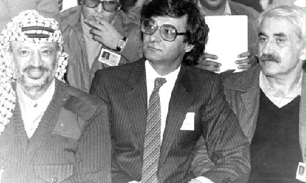
Mahmoud Darwish (; 13 March 1941 – 9 August 2008) was a Palestinians, Palestinian poet and author who was regarded as Palestine's national poet. In 1988 Darwish wrote the Palestinian Declaration of Independence, which was the formal declaration for the creation of a State of Palestine. Darwish won numerous awards for his works. In his poetic works, Darwish explored Palestine as a metaphor for the loss of Garden of Eden, Eden, birth and resurrection, and the anguish of dispossession and exile. He has been described as incarnating and reflecting "the tradition of the political poet in Islam, the man of action whose action is poetry." He also served as an editor for several literary magazines in Israel and the Palestinian territories. Darwish wrote in Arabic, and also spoke English, French, and Hebrew. Biography Mahmoud Darwish was born in 1941 in al-Birwa in the Western Galilee, the second child of Salim and Houreyyah Darwish. His family were landowners. His mother was illiter ... [...More Info...] [...Related Items...] OR: [Wikipedia] [Google] [Baidu] |
Ahihud
Ahihud () is a moshav in the Western Galilee in northern Israel, about 9 km east of Acre. It was founded in 1950, settled by Jewish refugees from Yemen. It belongs to the Moshavim Movement and falls within the jurisdiction of the Mateh Asher Regional Council. The name of Ahihud is taken from a Biblical verse: "The leader of the tribe of Asher was Ahihud, son of Shlomi" (Numbers 34:27). After sources of water enabling the establishment of permanent settlements were discovered in the region, kibbutz Yasur was founded. Its area is 1,800 dunams, and most of its residents are descendants of Yemenite Jewish refugees. History The moshav was established on the land of the depopulated Palestinian village of Al-Birwa. Conder and Kitchener thought that Al-Birwa preserves in its name the more ancient name of ''Beri'' (), mentioned in the Jerusalem Talmud (''Pesahim'' iv.1 6a, seeing that both it and Kabul are mentioned together. According to Josephus, the villages in the i ... [...More Info...] [...Related Items...] OR: [Wikipedia] [Google] [Baidu] |
Sha'ab, Israel
Sha'ab (; ; meaning "The spur") is an Arab localities in Israel, Arab town and local council (Israel), local council in the Northern District (Israel), Northern District of Israel. It has an area of 5,442 dunams () of land under its jurisdiction. In its population was . History French scholar Victor Guérin associated Sha'ab with ''Saab'', a place mentioned by 1st-century Jewish historian Josephus. The ''Midrash Rabba'' (Leviticus Rabba s. 20,9) mentions a certain Rabbi Mani of Sha'ab, together with Yehoshua of Sakhnin and Rabbi Johanan bar Nappaha. In the 14th century, the tax income from the village was given to the wakf of the madrasah and mausoleum of the Shafi'i Manjaq in Egypt. Ottoman era In 1517, Sha'ab was incorporated into the Ottoman Empire along with the rest of Palestine (region), Palestine. In 1573 (981 Hijri year, AH) Sha'ab was one of several villages in Galilee which rebelled against the Ottomans. In 1596, the village appeared in Ottoman Defter, tax registers a ... [...More Info...] [...Related Items...] OR: [Wikipedia] [Google] [Baidu] |
Majd Al-Kurum
Majd al-Krum ( ''Majd al-Kurūm'', ) is an Arab town located in the Galilee in Israel's Northern District about 16 kilometers (10 miles) east of Acre. Its inhabitants are primarily Muslim. In it had a population of . Name The name Majd al-Krum translates from Arabic as "watch-house of the vineyard", reflecting the town's fame for the quality of its grapevines. Rock-carved pits on the outskirts of the town were used to press the grapes to make wine since ancient times. Majd al-Krum has been identified as ''Beit HaKerem,'' a Jewish Talmudic-period town mentioned in the Mishnah, whose means the same in Hebrew and Arabic. Geography Majd al-Krum is an ancient site in the heart of the Galilee, situated in the northwestern end of the Beit HaKerem Valley, called al-Shaghur in Arabic, at the foot of Jabal Mahüz.Dauphin, 1998, p. 662.Yiftachel 1998, p. 53. It is the largest Arab locality in the valley. It historically derived its importance from its position in the valley, which s ... [...More Info...] [...Related Items...] OR: [Wikipedia] [Google] [Baidu] |
Acre, Israel
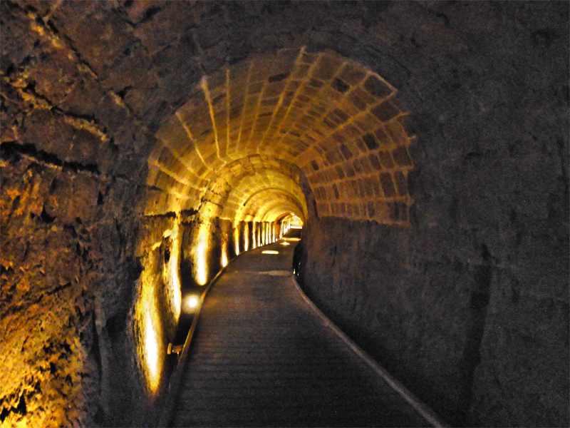
Acre ( ), known in Hebrew as Akko (, ) and in Arabic as Akka (, ), is a List of cities in Israel, city in the coastal plain region of the Northern District (Israel), Northern District of Israel. The city occupies a strategic location, sitting in a natural harbour at the extremity of Haifa Bay on the coast of the Mediterranean's Levantine Sea. In the Village Statistics, 1945, 1945 census Acre's population numbered 12,360; 9,890 Muslims, 2,330 Christians, 50 Jews and 90 classified as "other".Department of Statistics, 1945, p4Government of Palestine, Department of Statistics. ''Village Statistics, April, 1945.'' Quoted in Hadawi, 1970, p40 Acre Prison, Acre's fort was converted into a jail, where members of the Jewish underground were held during their struggle against the Mandate authorities, among them Ze'ev Jabotinsky, Shlomo Ben-Yosef, and Dov Gruner. Gruner and Ben-Yosef were executed there. Other Jewish inmates were freed by members of the Irgun, who Acre Prison break, brok ... [...More Info...] [...Related Items...] OR: [Wikipedia] [Google] [Baidu] |
Acre Subdistrict, Mandatory Palestine
The Acre Subdistrict (, ''Qadaa Akka''; , ''Nefat Akko'') was one of the subdistricts of Mandatory Palestine. It was located in what is now northern Israel, having nearly the same territory as the modern-day Acre County. The city of Acre was the district's capital. The subdistrict was transformed into Northern District's Acre Subdistrict. Borders * Safad Subdistrict (East) * Tiberias Subdistrict (East) * Nazareth Subdistrict (South) * Haifa Subdistrict (South West) * Lebanon (North) History of attachment to a district The layout of the districts of Mandatory Palestine changed several times: * 1922 Northern District * 1937 Galilee District * 1939 Galilee and Acre District * 1940 Galilee District * 1948 dissolution The territory is now covered by the Northern District of Israel. Depopulated towns and villages (current localities in parentheses) * Amqa ( Amka) * Arab al-Samniyya ( Ya'ara) * al-Bassa ( Betzet, Rosh HaNikra, Shlomi, Tzahal) * al-Birwa ( Ahihud ... [...More Info...] [...Related Items...] OR: [Wikipedia] [Google] [Baidu] |
Yas'ur
Yas'ur (, lit. ''petrel'') is a kibbutz in northern Israel. Located east of Acre in the Western Galilee, it falls under the jurisdiction of Mateh Asher Regional Council. In it had a population of . History The kibbutz was established in 1949 by Jewish immigrants from Hungary who were members of the Zionist Socialist youth movement Hashomer Hatzair; they were joined in 1951 by another group of immigrants from England and in 1956 by another group from Brazil. The kibbutz is named after the seabird Yas'ur (''petrel)'', symbolising the wishes of the founders to engage in fishing. The parents of Israeli historian Benny Morris were among the founders of the kibbutz, shortly after his birth. The kibbutz was established on the land of the depopulated Palestinian village of Al-Birwa, and it uses the land of the depopulated villages of Al-Damun and Al-Ruways for agriculture. Yasur's economy was based on textile and toy factories, which became unprofitable and closed down. In 20 ... [...More Info...] [...Related Items...] OR: [Wikipedia] [Google] [Baidu] |
Al-Damun
Al-Damun (, ''al-Dâmûn''), was a Palestinian Arab village located from the city of Acre that was depopulated during 1948 Arab-Israeli war. In 1945, the village had 1,310 inhabitants, most of whom were Muslim and the remainder Christians. Al-Damun bordered the al-Na'amin River (Belus River), which the village's inhabitants used as a source of irrigation and drinking water from installed wells. History Excavations at the site has shown pot sherds dating from the Late Bronze Age, up to and including Early Islamic, Crusader, Mamluk and Ottoman times. It might be the village Damun in lower Galilee, noted in Roman times. Al-Damun is mentioned in early Arab and Persian sources from the 11th century CE. Local tradition identified the village as containing the tomb of the prophet Dhul-Kifl, who is mentioned in the Qur'an twice. Despite Islamic tradition claiming the tomb to be in al-Kifl near Najaf or Kifl Hares near Nablus, Nasir Khusrawl, who visited the region in 1047, wrote "I r ... [...More Info...] [...Related Items...] OR: [Wikipedia] [Google] [Baidu] |
Haifa
Haifa ( ; , ; ) is the List of cities in Israel, third-largest city in Israel—after Jerusalem and Tel Aviv—with a population of in . The city of Haifa forms part of the Haifa metropolitan area, the third-most populous metropolitan area in Israel. It is home to the Baháʼí Faith's Baháʼí World Centre, and is a UNESCO World Heritage Site and a destination for Baháʼí pilgrimage. Built on the slopes of Mount Carmel, the settlement has a history spanning more than 3,000 years. The earliest known settlement in the vicinity was Tell Abu Hawam, a small port city established in the Late Bronze Age (14th century BCE).Encyclopaedia Judaica, Encyclopedia Judaica, ''Haifa'', Keter Publishing, Jerusalem, 1972, vol. 7, pp. 1134–1139 In the 3rd century CE, Haifa was known as a Tool and die maker, dye-making center. Over the millennia, the Haifa area has changed hands: being conquered and ruled by the Canaanites, History of ancient Israel and Judah, Israelites, Phoenicians, Assy ... [...More Info...] [...Related Items...] OR: [Wikipedia] [Google] [Baidu] |
Mandatory Palestine
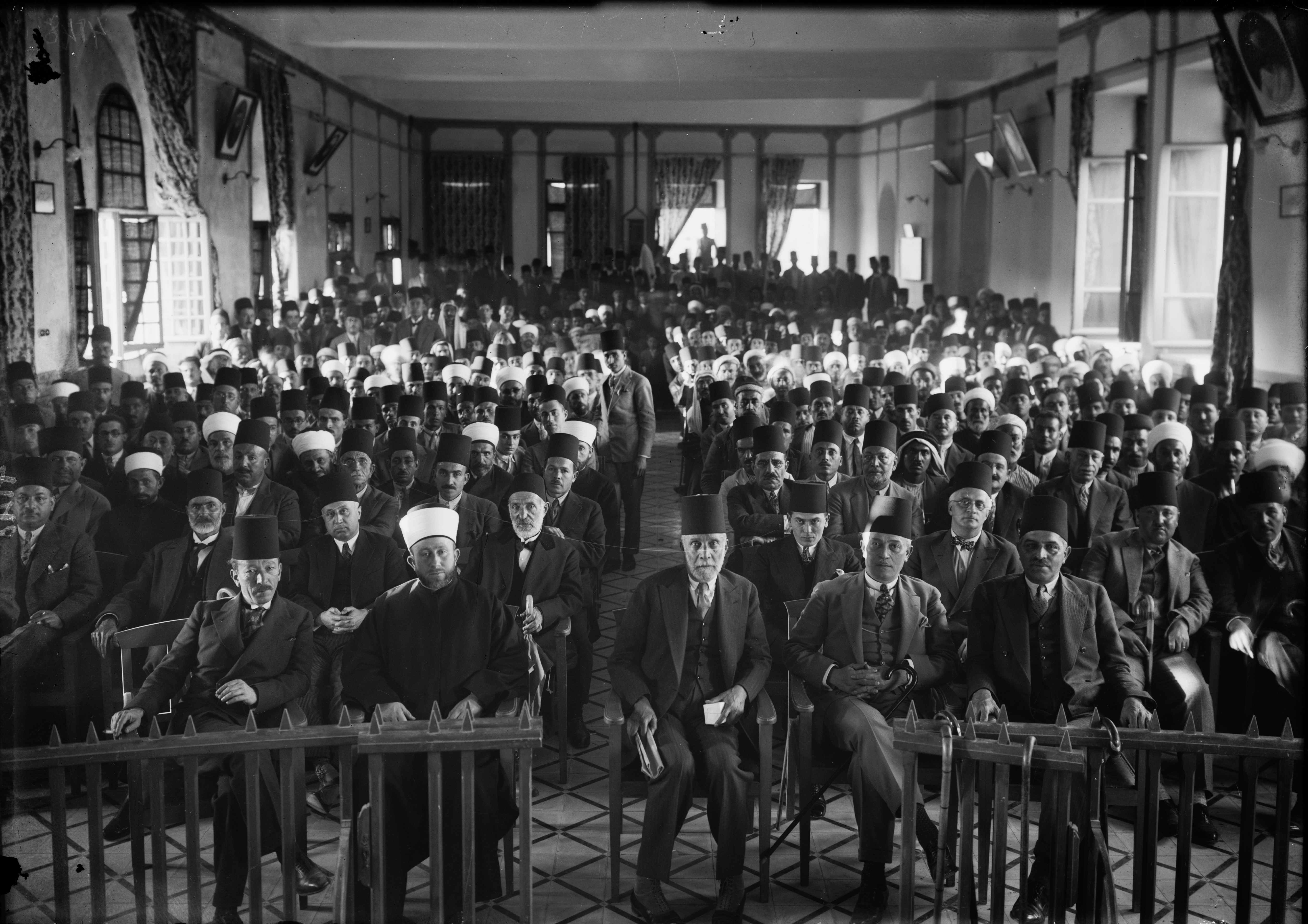
Mandatory Palestine was a British Empire, British geopolitical entity that existed between 1920 and 1948 in the Palestine (region), region of Palestine, and after 1922, under the terms of the League of Nations's Mandate for Palestine. After an Arab Revolt, Arab uprising against the Ottoman Empire during the First World War in 1916, British Empire, British Egyptian Expeditionary Force, forces drove Ottoman Empire, Ottoman forces out of the Levant. The United Kingdom had agreed in the McMahon–Hussein Correspondence that it would honour Arab independence in case of a revolt but, in the end, the United Kingdom and French Third Republic, France divided what had been Ottoman Syria under the Sykes–Picot Agreement—an act of betrayal in the eyes of the Arabs. Another issue was the Balfour Declaration of 1917, in which Britain promised its support for the establishment of a Homeland for the Jewish people, Jewish "national home" in Palestine. Mandatory Palestine was then establishe ... [...More Info...] [...Related Items...] OR: [Wikipedia] [Google] [Baidu] |
Julis
Julis ( ''Jūlis'', ''G'ulis'') is a Druze village and Local council (Israel), local council in the Northern District (Israel), Northern District of Israel. In it had a population of . Etymology According to local legend, the name is derived from "Julius," the name of a Roman commander who camped in the area. Others say it is from the Arabic word for "sitting" - "jalis", as it is located on lower hills than the surrounding villages, and thus seems to be sitting. History Julis was a Jews, Jewish village in Talmudic times and had a Jewish presence in the Late Middle Ages (14th-16th centuries). In 1388, Sa'adia Ben Ya'akov copied "The Sufficient Guide" by the Tanhum of Jerusalem, "in the town of Julis... near Acre." Ottoman period According to the 1596 Ottoman empire, Ottoman ''Defter, tax records'' Julis had a predominantly Druze population, with a total of 79 households. The taxable produce comprised wheat, barley, "summer crops", fruit trees, and "goats and bees". Julis also ha ... [...More Info...] [...Related Items...] OR: [Wikipedia] [Google] [Baidu] |


