|
Birambo
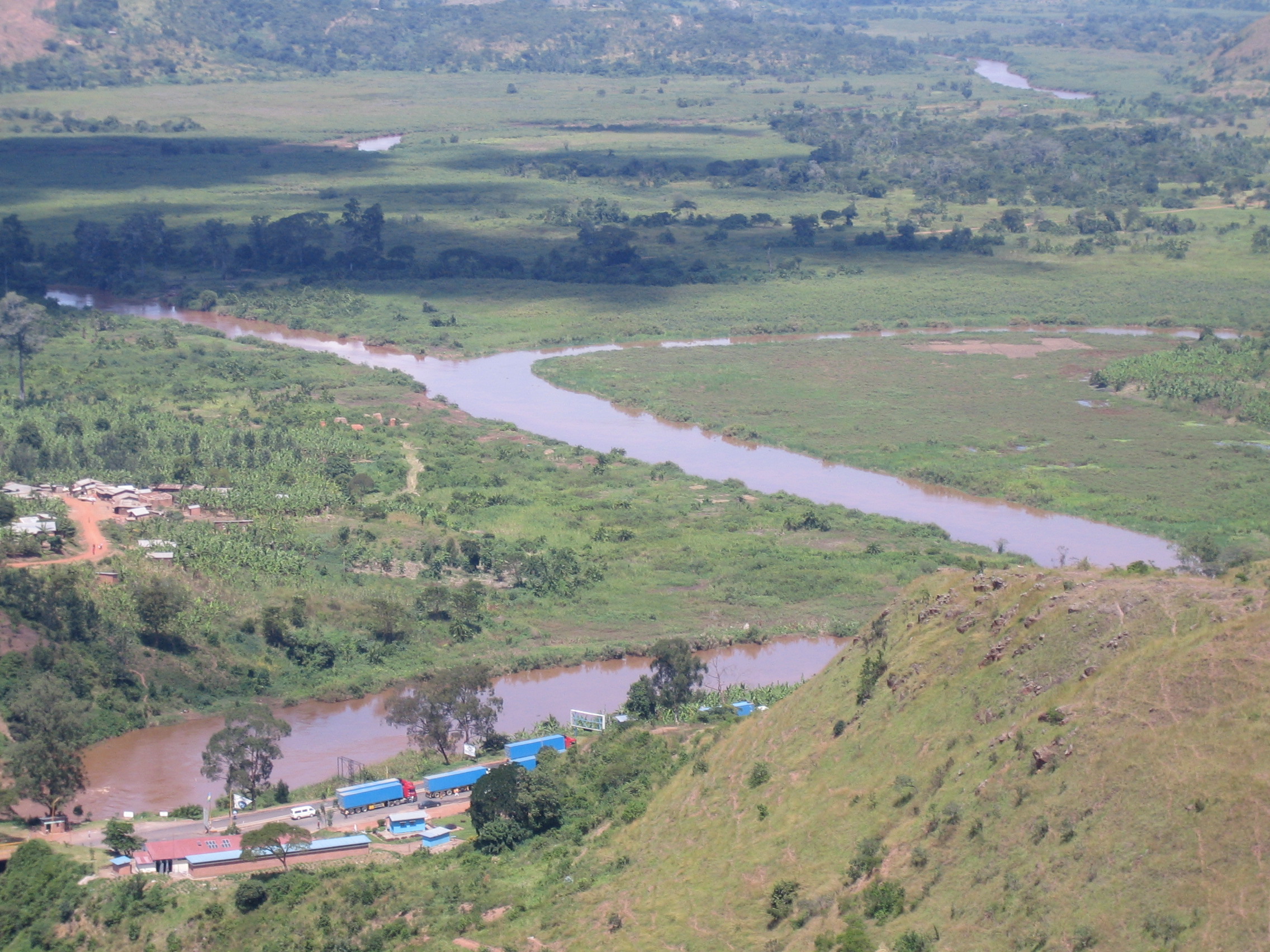
Birambo is a town in Karongi District, Western Province, Rwanda. Located in Gashali sector nearest Rugabano Rugabano is a sector (umurenge) in Karongi district, in Western Province, Rwanda. Its office is near Gakuta center, on the foot of Gisunzu mount. Its capital is Rugabano market, in a center of shops and cattle market (isoko ry'inka). The sector ... sector The population in 2012 was over 5000. This also contain Saint Joseph Birambo popular school in Western Province. It also contain school called Esa Urumuri and other infrastructures. References Western Province, Rwanda Geography of Rwanda Populated places in Rwanda {{Rwanda-geo-stub ... [...More Info...] [...Related Items...] OR: [Wikipedia] [Google] [Baidu] |
Karongi District
Karongi is a district (''akarere'') in Western Province, Rwanda. The capital being Rubengera, the district also contains Kibuye, the provincial capital and a major Rwandan lakeside resort. It is one of the districts with the least population density of as of 2012 census. Tourism Tourism is one of the main economic sectors of Karongi. Karongi's location near Lake Kivu, the beautiful scenery and its many islands are the main draws. There are many resort and hotels which have been built recently outside the town of Kibuye, most on the shores of Lake Kivu. One of the most popular islands to visit in Karongi is Napoleon Island; a large island which is popular for hiking and for viewing one of Africa's largest colonies of straw colored fruit bats which resides on the Island. Other islands in Karongi are Monkey Island which has a small population of vervet monkeys and Amahoro or Peace Island which used to have a camping site. Night fishing is another popular pastime in Karongi. ... [...More Info...] [...Related Items...] OR: [Wikipedia] [Google] [Baidu] |
Western Province, Rwanda
Western Province ( rw, Intara y'Iburengerazuba; french: Province de l'Ouest; nl, West-provincie) is one of Rwanda's five provinces. It was created in early January 2006 as part of a government decentralization program that re-organized the country's local government structures. Western Province comprises the former provinces of Cyangugu, Gisenyi, Kibuye, and a small portion of Ruhengeri. It is divided into the districts of Karongi, Nyabihu, Rubavu, Rusizi, Ngororero, Nyamasheke, and Rutsiro Rutsiro is a district (''akarere'') in Western Province, Rwanda. Its headquarter is located in Gihango sector. About Rutsiro Rutsiro District is one of the seven Districts making up the Western Province , located 150 km the capital Kigali. I .... The capital city of Western Province is Kibuye. Notes and references External links * Provinces of Rwanda Lake Kivu States and territories established in 2006 {{Rwanda-geo-stub ... [...More Info...] [...Related Items...] OR: [Wikipedia] [Google] [Baidu] |
Rugabano
Rugabano is a sector (umurenge) in Karongi district, in Western Province, Rwanda. Its office is near Gakuta center, on the foot of Gisunzu mount. Its capital is Rugabano market, in a center of shops and cattle market (isoko ry'inka). The sector also contains Ngoma, where Baziruwiha Jean Claude was born. References {{coord, 2.1072, S, 29.4844, E, source:wikidata, display=title Populated places in Rwanda ... [...More Info...] [...Related Items...] OR: [Wikipedia] [Google] [Baidu] |
Geography Of Rwanda
Rwanda is located in East Africa, to the east of the Democratic Republic of the Congo, at the co-ordinates . At , Rwanda is the world's 149th-largest country. It is comparable in size to Haiti or the state of Massachusetts in the United States. The entire country is at a high altitude: the lowest point is the Rusizi River at above sea level. Rwanda is located in Central/Eastern Africa, and is bordered by the Democratic Republic of the Congo to the west, Uganda to the north, Tanzania to the east, and Burundi to the south. It lies a few degrees south of the equator and is landlocked. The capital, Kigali, is located near the centre of Rwanda. Major geographic features The watershed between the major Congo and Nile drainage basins runs from north to south through Rwanda, with around 80 percent of the country's area draining into the Nile and 20 percent into the Congo via the Rusizi River. The country's longest river is the Nyabarongo, which rises in the south-west, flows no ... [...More Info...] [...Related Items...] OR: [Wikipedia] [Google] [Baidu] |

