|
Benjina Airport
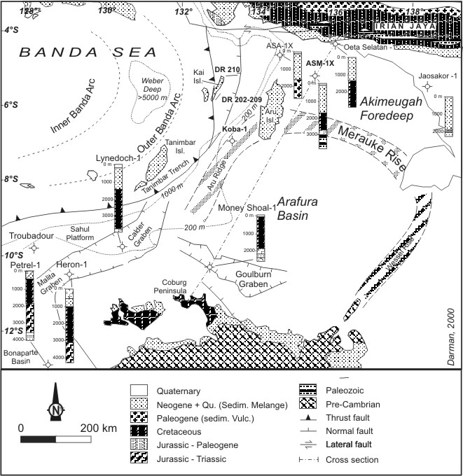
Benjina-Nangasuri Airport is located in Benjina, Maluku, Indonesia. There are no regularly scheduled flights to this airport, but chartered or private planes can land at this air strip. Benjina is located on the west side of the Aru Islands, south of the city of Dobo, on the island of Maikoor Maikoor is an island in the Aru Islands in the Arafura Sea. It is situated in the Maluku Province, Indonesia. Its area is 398 km². The other main islands in the archipelago are Tanahbesar (also called Wokam), Kola, Kobroor, Koba, and Tranga .... References Airports in Maluku {{Indonesia-airport-stub ... [...More Info...] [...Related Items...] OR: [Wikipedia] [Google] [Baidu] |
Maluku Islands
The Maluku Islands (; Indonesian: ''Kepulauan Maluku'') or the Moluccas () are an archipelago in the east of Indonesia. Tectonically they are located on the Halmahera Plate within the Molucca Sea Collision Zone. Geographically they are located east of Sulawesi, west of New Guinea, and north and east of Timor. Lying within Wallacea (mostly east of the biogeographical Weber Line), the Maluku Islands have been considered as a geographical and cultural intersection of Asia and Oceania. The islands were known as the Spice Islands because of the nutmeg, mace and cloves that were exclusively found there, the presence of which sparked colonial interest from Europe in the sixteenth century. The Maluku Islands formed a single province from Indonesian independence until 1999, when it was split into two provinces. A new province, North Maluku, incorporates the area between Morotai and Sula, with the arc of islands from Buru and Seram to Wetar remaining within the existing Maluku Province. ... [...More Info...] [...Related Items...] OR: [Wikipedia] [Google] [Baidu] |
Indonesia
Indonesia, officially the Republic of Indonesia, is a country in Southeast Asia and Oceania between the Indian and Pacific oceans. It consists of over 17,000 islands, including Sumatra, Java, Sulawesi, and parts of Borneo and New Guinea. Indonesia is the world's largest archipelagic state and the 14th-largest country by area, at . With over 275 million people, Indonesia is the world's fourth-most populous country and the most populous Muslim-majority country. Java, the world's most populous island, is home to more than half of the country's population. Indonesia is a presidential republic with an elected legislature. It has 38 provinces, of which nine have special status. The country's capital, Jakarta, is the world's second-most populous urban area. Indonesia shares land borders with Papua New Guinea, East Timor, and the eastern part of Malaysia, as well as maritime borders with Singapore, Vietnam, Thailand, the Philippines, Australia, Palau, and India ... [...More Info...] [...Related Items...] OR: [Wikipedia] [Google] [Baidu] |
Maluku (province)
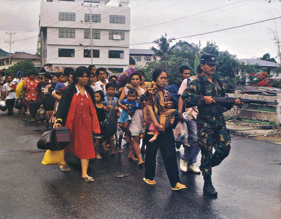
Maluku is a province of Indonesia. It comprises the central and southern regions of the Maluku Islands. The main city and capital of Maluku province is Ambon on the small Ambon Island. The land area is 62,946 km2, and the total population of this province at the 2010 census was 1,533,506 people, rising to 1,848,923 at the 2020 Census. The official estimate as at mid 2021 was 1,862,626. Maluku is located in Eastern Indonesia. It is directly adjacent to North Maluku and West Papua in the north, Central Sulawesi, and Southeast Sulawesi in the west, Banda Sea, East Timor and East Nusa Tenggara in the south and Arafura Sea and Papua in the east. Maluku has two main religions, namely Islam which at the 2020 Census was adhered to by 52.85% of the population of the province and Christianity which is embraced by 46.3% (39.4% Protestantism and 7.0% Catholicism). Maluku is recorded in the history of the world due to conflict or tragedy of humanitarian crisis and sectarian conflict ... [...More Info...] [...Related Items...] OR: [Wikipedia] [Google] [Baidu] |
Aru Islands
The Aru Islands Regency ( id, Kabupaten Kepulauan Aru) is a group of about 95 low-lying islands in the Maluku Islands of eastern Indonesia. It also forms a regency of Maluku Province, with a land area of . At the 2011 Census the Regency had a population of 84,138;Biro Pusat Statistik, Jakarta, 2011. the 2020 Census produced a total of 102,237. Some sources regard the archipelago as part of Asia, while others regard it as part of Melanesia. Administration At the time of the 2010 Census, the regency was divided into seven districts (''kecamatan''), but subsequently an additional three districts have been created by the splitting of existing districts. The districts are tabulated below with their areas (in km2) and their populations at the 2010 Census and 2020 Census. The table also includes the locations of the district administrative centres, the number of villages (''desa'') in each district, and its postal code. Notes: (a) the 2010 population of Aru Utara Timur Batuley and ... [...More Info...] [...Related Items...] OR: [Wikipedia] [Google] [Baidu] |
Maikoor
Maikoor is an island in the Aru Islands in the Arafura Sea. It is situated in the Maluku Province, Indonesia. Its area is 398 km². The other main islands in the archipelago are Tanahbesar (also called Wokam), Kola, Kobroor, Koba, and Trangan Trangan is an island in the Aru Islands in the Arafura Sea. It is situated in the Maluku Province of Indonesia. Its area is 2149 km². The other main islands in the archipelago are Tanahbesar (also called Wokam), Kola, Kobroor Kobroor is .... References Aru Islands Islands of the Maluku Islands {{maluku-geo-stub ... [...More Info...] [...Related Items...] OR: [Wikipedia] [Google] [Baidu] |


