|
Beitbridge
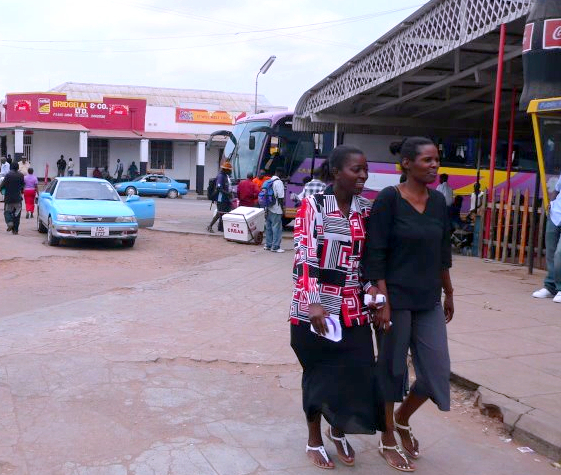
Beitbridge is a border town in the province of Matabeleland South, Zimbabwe. The name also refers to the border post and bridge spanning the Limpopo River, which forms the political border between South Africa and Zimbabwe. The border on the South African side of the river is also named Beitbridge. Background The town lies just north of the Limpopo River about 1 km from the Alfred Beit Road Bridge which spans the Limpopo between South Africa and Zimbabwe. The main roads are the A6 highway to Bulawayo and the Victoria Falls, being and away respectively and the A4 to Masvingo and Harare. According to the 2012 population census, the town had a population of 41,767 dominated by the Venda and Ndebele people . There is a sizable percentage of Shona people from other provinces this is a busy border post with traders from all over Zimbabwe. The Beitbridge border post is the busiest road border post in Southern Africa, and is best avoided during busy border-crossing seasons. ... [...More Info...] [...Related Items...] OR: [Wikipedia] [Google] [Baidu] |
Beitbridge, South Africa
Beitbridge ( af, Beitbrug) is a town in Musina Local Municipality in the Limpopo province of South Africa. Beitbridge is a border crossing on the Limpopo River, located just south of Beitbridge in Zimbabwe. It is the busiest border post in the region, handling as many as 500 trucks each day. The bridge was named after mining financier Alfred Beit, who provided funds for its construction. Climate Beitbridge has a hot desert climate (Köppen Köppen is a German surname. Notable people with the surname include: * Bernd Köppen (born 1951), German pianist and composer * Carl Köppen (1833-1907), German military advisor in Meiji era Japan * Edlef Köppen (1893–1939), German author and ...: ''BWh''). References Populated places in the Musina Local Municipality South Africa–Zimbabwe border crossings Beitbridge {{Limpopo-geo-stub ... [...More Info...] [...Related Items...] OR: [Wikipedia] [Google] [Baidu] |
Beitbridge District
Beitbridge is a district in Matabeleland South, Zimbabwe Situated 18 kilometers north of Musina and 548 kilometers north of Johannesburg. Beitbridge district is located in the Lowveld area. The town lies 6 km ESE of the confluence of the Bubye River and the Limpopo on the border with South Africa. It was established in 1929. The town has a population of approximately 43,000 and serves a district of 100,000 people. An estimated 60 percent of Beitbridge's population is female, reflecting extensive male migration to South Africa. Beitbridge has an estimated 2,570 houses in formal settlements (primarily for government officials and mid-level private sector staff) and 3,000 in informal settlements. Formal-settlement dwellings are mainly two- to three-room brick houses, while those in the informal settlements were among the worst mud houses in Zimbabwe. The informal settlement houses have since been destroyed by the 2005 Operation Murambatsvina Operation Murambatsvina (''Move t ... [...More Info...] [...Related Items...] OR: [Wikipedia] [Google] [Baidu] |
Rhodesia Railways
The National Railways of Zimbabwe (NRZ), formerly Rhodesia Railways, is a state-owned company in Zimbabwe that operates the country's national railway system. It is headquartered in the city of Bulawayo. In addition to the headquarters, it has a commercial-administrative center in Harare and a supply center in Gweru. The Zimbabwean railway system was largely constructed during the 20th century. History NRZ's history begins with the creation of the Bechuanaland Railway Company on May 24, 1893. It was renamed Rhodesia Railways Ltd (RR) on July 1, 1899.Günter Krause. ''Eisenbahnmuseum Livingstone (Sambia) und die Zambesi Saw Mills Railways''. 2 Ed. 2018. At the same time, on April 13, 1897, the Mashonaland Railway Company (MRC) was founded. On March 1, 1905 the small Ayrshire Gold Mine & Lomangundi Railway Company — which had been founded in 1900 — merged with MRC. A similar event would occur with the Beira & Mashonaland Railway (also founded in 1900), which merged on ... [...More Info...] [...Related Items...] OR: [Wikipedia] [Google] [Baidu] |
Matabeleland South
Matabeleland South is a province in southwestern Zimbabwe. With a population of 683,893 as of the 2012 Zimbabwean census, it is the country's least populous province. After Matabeleland North, it is Zimbabwe's second-least densely populated province. Matabeleland South was established in 1974, when the original Matabeleland Province was divided into two provinces, the other being Matabeleland North. The province is divided into six districts. Gwanda is the capital, and Beitbridge is the province's largest town. The name "Matabeleland" is derived from Ndebele, the province's largest ethnic group. Matabeleland South is bordered by Bulawayo and Matabeleland North to the north, Midlands to the northeast, Masvingo to the southeast, South Africa to the south, and Botswana to the west. It has an area of , equal to 13.86% of the total area of Zimbabwe. It is the fourth-largest of the country's ten provinces in area. Matabeleland South sits on the edge of the Kalahari Desert, giving i ... [...More Info...] [...Related Items...] OR: [Wikipedia] [Google] [Baidu] |
A6 Road (Zimbabwe)
The A6 is a highway in Zimbabwe running from the Beitbridge border with South Africa, through Gwanda, to Bulawayo. It is part of the R9 Route, which links Beitbridge with Victoria Falls. The A6 Highway runs from Bulawayo through Esigodini, Mulungwane, Mbalabala, Gwanda, West Nicholson, Makado, Mazunga to Beitbridge. Junctions There is one major junction. The A9 Road (Zimbabwe) to Mutare via Masvingo branches east at Mbalabala just past the 61 km peg (61.3 km). (71 km from Bulawayo city centre) Direction, Bulawayo to Filabusi distance, Head east on Harare Rd/A5 towards Cecil Ave 0.2 km: 2.Turn right onto Cecil Ave 3.4 km: 3.Slight left towards Gwanda Rd/A6 0.2 km: 4.Merge onto Gwanda Rd/A6; Continue to follow A6 61.1 km: 5.Turn left onto A9, 25.6 km: 6.Turn right 4.6 km Filabusi, ZimbabweDistance4.com, Directions, Retrieved 20 2016 See also * Trans-African Highway network The Trans-African Highway network comprises transcontinental road projects in ... [...More Info...] [...Related Items...] OR: [Wikipedia] [Google] [Baidu] |
Masvingo
Masvingo is a city in south-eastern Zimbabwe and the capital of Masvingo Province. The city is situated close to Great Zimbabwe, the national monument from which the country takes its name and close to Lake Mutirikwi, its recreational park, the Kyle dam and the Kyle National Reserve where there are many different animal species. It is mostly populated by the Karanga people who form the biggest branch of the various Shona tribes in Zimbabwe. History The city was known as Fort Victoria until 1982, when its name was briefly changed to Nyanda, after a mountain about 10 kilometres south of the town, on the Masvingo to Beitbridge Road. That led to protests, because "nyanda" means "one who has lice", and public sentiment was that Masvingo would be more reflective of the history of the city. Within a few months, the name was changed to Masvingo, which means "fort" in Shona, and the Great Zimbabwe, which is essentially a walled fort, is often referred to as "Masvingo eZimbabwe" or som ... [...More Info...] [...Related Items...] OR: [Wikipedia] [Google] [Baidu] |
Alfred Beit Road Bridge
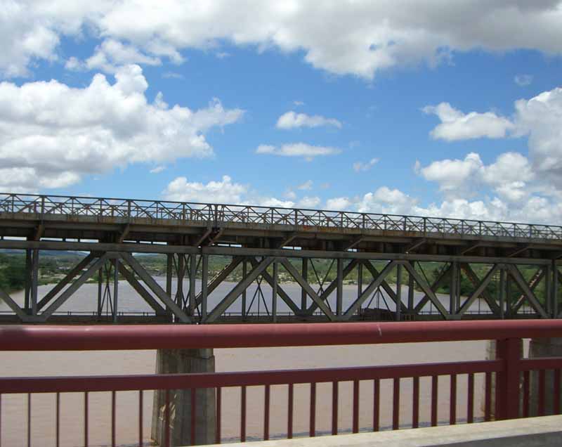
The Alfred Beit Road Bridge is a road bridge crossing the Limpopo River between Musina in South Africa and Beitbridge in Zimbabwe. History The original Alfred Beit Bridge, which now only carries rail traffic, was completed in 1929 by Dorman Long. Named after Alfred Beit, the gold and diamond magnate, it cost $600,000 and was opened by the Earl of Athlone on 31 August 1929. The new road bridge, constructed in 1995 parallel to the old bridge, accommodates far heavier traffic than the old bridge could take. It was built by Murray & Roberts Murray & Roberts Holdings Ltd. is a South African-based engineering and mining contractor. It is listed on the JSE Securities Exchange. The Group delivers its capabilities into three global primary market sectors the resources, industrial, ene ... on behalf of New Limpopo Bridge Ltd who now operate the bridge. References {{reflist Bridges in South Africa Bridges in Zimbabwe Bridges completed in 1995 Build–operate–transfer Sout ... [...More Info...] [...Related Items...] OR: [Wikipedia] [Google] [Baidu] |
Districts Of Zimbabwe
The Republic of Zimbabwe is broken down into 10 administrative provinces, which are divided into 59 districts and 1,200 wards. Bulawayo Province * Bulawayo Harare Province * Harare Manicaland Province * Buhera * Chimanimani * Chipinge * Makoni * Mutare * Mutasa * Nyanga Mashonaland Central Province * Bindura * Guruve * Mazowe * Mbire * Mount Darwin * Muzarabani * Mukumbura * Rushinga * Shamva Mashonaland East Province * Chikomba * Goromonzi * Marondera * Mudzi * Murehwa * Mutoko * Seke * UMP (Uzumba-Maramba-Pfungwe) * Wedza (Hwedza) Mashonaland West Province * Chegutu * Hurungwe * Kariba * Makonde * Mhondoro-Ngezi * Sanyati * Zvimba * Kadoma * Chinhoyi Masvingo Province * Bikita * Chiredzi * Chivi * Gutu * Masvingo * Mwenezi * Zaka Matabeleland North Province * Binga * Bubi * Hwange * Lupane * Nkayi * Tsholotsho * Umguza Matabeleland South Province * Beitbridge * Bulilima * Gwanda * Insiza * Mangwe * ... [...More Info...] [...Related Items...] OR: [Wikipedia] [Google] [Baidu] |
South African Railways
Transnet Freight Rail is a South African rail transport company, formerly known as Spoornet. It was part of the South African Railways and Harbours Administration, a state-controlled organisation that employed hundreds of thousands of people for decades from the first half of the 20th century and was widely referred to by the initials SAR&H (SAS&H in Afrikaans). Customer complaints about serious problems with Transnet Freight Rail's service were reported in 2010. Its head office is in Inyanda House in Parktown, Johannesburg. History Railways were first developed in the area surrounding Cape Town and later in Durban around the 1840s. The first line opened in Durban on 27 June 1850. The initial network was created to serve the agricultural production area between Cape Town and Wellington. The news that there were gold deposits in the Transvaal Republic moved the Cape Colony Government (supported by British Government) to link Kimberley as soon as possible by rail to Cape Town ... [...More Info...] [...Related Items...] OR: [Wikipedia] [Google] [Baidu] |
Alfred Beit
Alfred Beit (15 February 1853 – 16 July 1906) was a Anglo-German gold and diamond magnate in South Africa, and a major donor and profiteer of infrastructure development on the African continent. He also donated much money to university education and research in several countries, and was the "silent partner" who structured the capital flight from post-Boer War South Africa to Rhodesia, and the Rhodes Scholarship, named after his employee, Cecil Rhodes. Beit's assets were structured around the so-called Corner House Group, which through its holdings in various companies controlled 37 per cent of the gold produced at the Witwatersrand's goldfields in Johannesburg in 1913.See chapter 12 in Rönnbäck & Broberg (2019) Capital and Colonialism. The Return on British Investments in Africa 1869-1969 (Palgrave Studies in Economic History) Life and career Born and brought up in |
List Of Road–rail Bridges
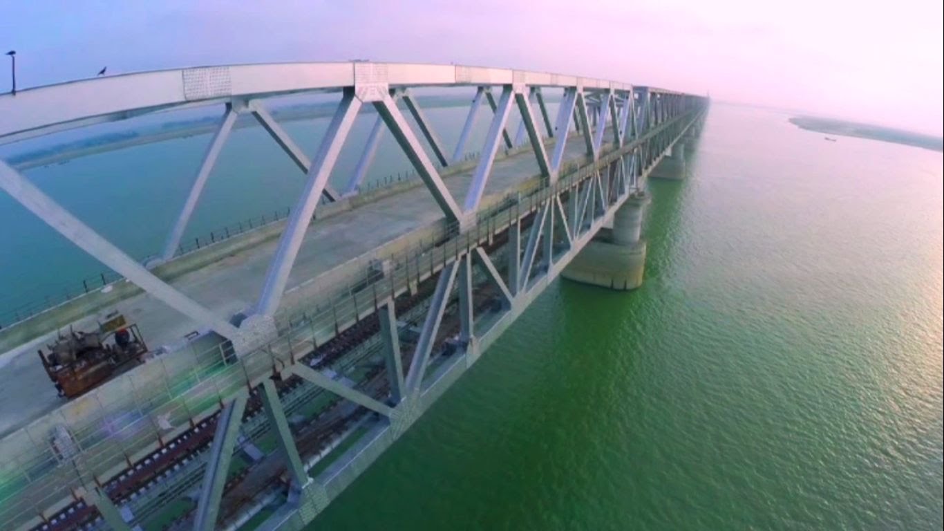
Road–rail bridges are bridges shared by road and rail lines. Road and rail may be segregated so that trains may operate at the same time as cars (e.g., the Sydney Harbour Bridge). The rail track can be above the roadway or vice versa with truss bridges. Road and rail may share the same carriageway so that road traffic must stop when the trains operate (like a level crossing), or operate together like a tram in a street (street running). Road–rail bridges are sometimes called combined bridges. Afghanistan * Afghanistan–Uzbekistan Friendship Bridge between Termez and Jeyretan. Argentina * Transandine Railway rail tunnel converted to road use for time being, albeit single lane. *Zárate–Brazo Largo Bridge *San Roque González de Santa Cruz Bridge, between Posadas, Argentina, and Encarnación, Paraguay. Australia Current * Sydney Harbour Bridge, Sydney, New South Wales now with parallel tunnel. * Narrows Bridge, Perth, Western Australia * Mount Henry Bridge, ... [...More Info...] [...Related Items...] OR: [Wikipedia] [Google] [Baidu] |
Provinces Of Zimbabwe
Provinces are constituent Polity, political entities of Zimbabwe. Zimbabwe currently has ten provinces, two of which are City, cities with provincial status. Zimbabwe is a unitary state, and its provinces exercise only the powers that the central government chooses to delegate. Provinces are divided into districts, which are divided into Ward (electoral subdivision), wards. The Constitution of Zimbabwe delineates provincial governance and powers. After constitutional amendments in 1988, provinces were administered by a List of current provincial governors of Zimbabwe, governor directly appointed by the President of Zimbabwe. Since the Zimbabwean constitutional referendum, 2013, 2013 constitutional changes, there are technically no longer provincial governors, though in practice they remain in place as Ministers of State for Provincial Affairs. The 2013 Constitution also calls for the devolution of governmental powers and responsibilities where appropriate, though Zimbabwean oppos ... [...More Info...] [...Related Items...] OR: [Wikipedia] [Google] [Baidu] |


