|
Bear Lake County, Idaho
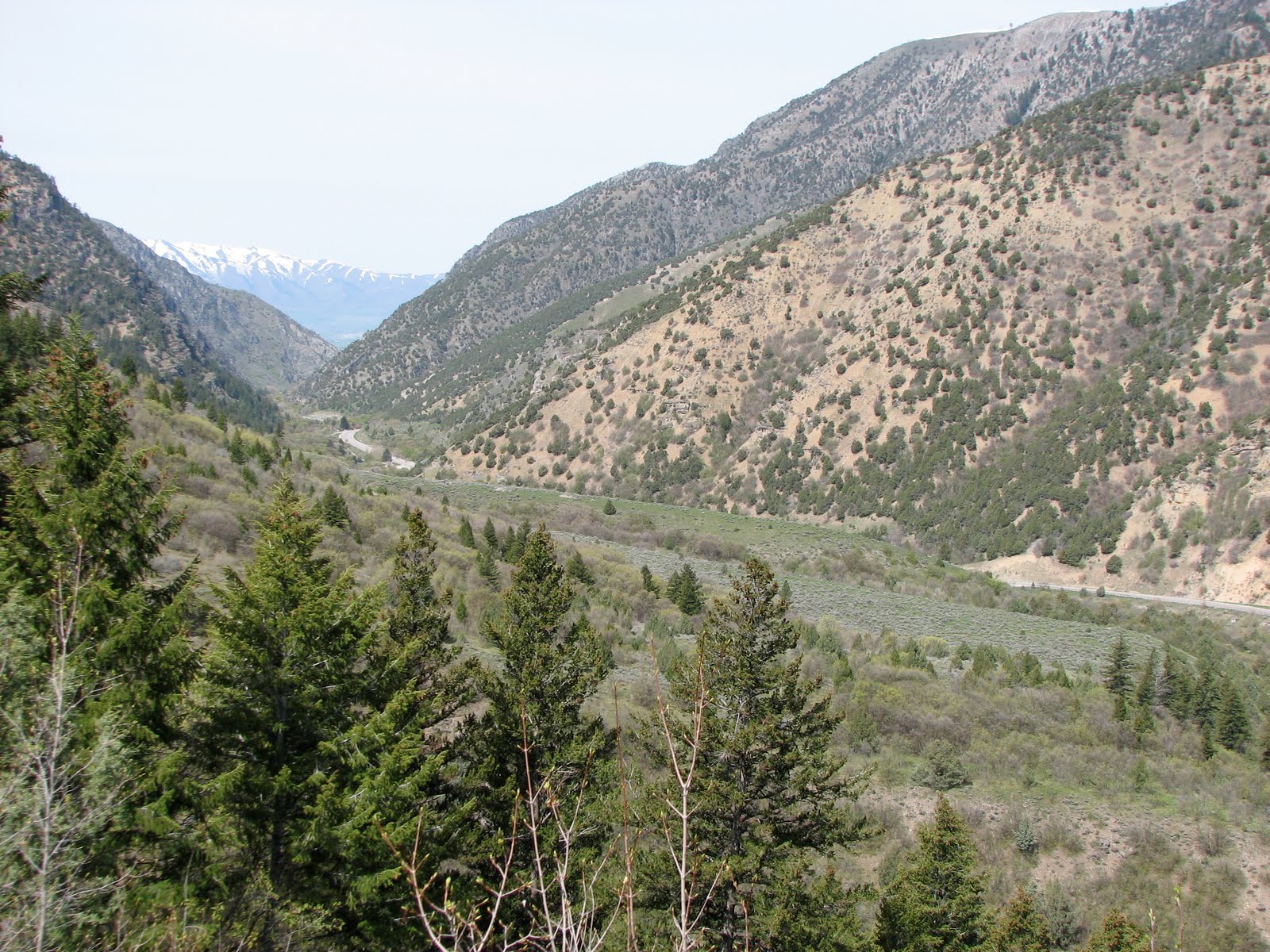
Bear Lake County is a county in the U.S. state of Idaho. As of the 2020 United States Census the county had a population of 6,372. The county seat is Paris, and Montpelier is the largest city. The county is named after Bear Lake, a large alpine lake at an elevation of above sea level. The northern half of the 20-mile-long (32 km) lake is in Idaho, the southern half in Utah. The county was established in 1875 in the Idaho Territory, fifteen years before statehood. History Peg-Leg Smith established a trading post on the Oregon Trail from 1848 to 1850 near Dingle. The first settlement in the Bear Lake Valley was Paris, settled by Mormon pioneers led by Charles Rich on September 26, 1863; thirty families comprised the original settlement. In the spring of 1864, Montpelier was settled on the other side of the valley on the Oregon Trail. Bear Lake County was established in 1875, and the railroad was extended through Montpelier in 1892. Geography Bear Lake County c ... [...More Info...] [...Related Items...] OR: [Wikipedia] [Google] [Baidu] |
Bear Lake (Idaho-Utah)
Bear Lake may refer to several places: Lakes Canada * Bear Lake (Bear River), a lake in the northwestern Omineca Country of the North-Central Interior of British Columbia, part of the Skeena River drainage via the Bear and Sustut Rivers (there are six other Bear Lakes in British Columbia) * Great Bear Lake, eighth largest lake in the world, largest in Northwest Territories * Bear Lake (Ontario), one of 29 Bear Lakes in Ontario * Bear Lake (Halifax Regional Municipality, Nova Scotia), one of 16 lakes in Nova Scotia * Bear Lake (Colchester County, Nova Scotia) United States * Bear Lake (Alaska), a lake near the town of Seward and Resurrection Bay * Bear Lake (Colorado), in Rocky Mountain National Park * Bear Lake (Idaho), an alpine lake in Custer County * Bear Lake (Idaho–Utah), along the Idaho–Utah border, first called Black Bear Lake * Bear Lake (Michigan), a lake in Kalkaska County * Bear Lake (Muskegon County, Michigan), which abuts Muskegon, Michigan * Bear Lake in ... [...More Info...] [...Related Items...] OR: [Wikipedia] [Google] [Baidu] |
United States Census Bureau
The United States Census Bureau (USCB), officially the Bureau of the Census, is a principal agency of the U.S. Federal Statistical System, responsible for producing data about the American people and economy. The Census Bureau is part of the U.S. Department of Commerce and its director is appointed by the President of the United States. The Census Bureau's primary mission is conducting the U.S. census every ten years, which allocates the seats of the U.S. House of Representatives to the states based on their population. The bureau's various censuses and surveys help allocate over $675 billion in federal funds every year and it assists states, local communities, and businesses make informed decisions. The information provided by the census informs decisions on where to build and maintain schools, hospitals, transportation infrastructure, and police and fire departments. In addition to the decennial census, the Census Bureau continually conducts over 130 surveys and p ... [...More Info...] [...Related Items...] OR: [Wikipedia] [Google] [Baidu] |
Cache National Forest
Cache National Forest is a 533,840-acre area of National Forest System land in Idaho and Utah which was established on July 1, 1908, by the U.S. Forest Service. The majority of its area is in Utah, and was initially created when the Bear River National Forest was disbanded. On July 1, 1915, all of Pocatello National Forest was added. In 1973 the Idaho portion was transferred to the administration of Caribou National Forest, while the Utah portion was combined administratively with Wasatch National Forest, creating the Wasatch-Cache National Forest. In descending order of forestland area, the Cache National Forest portion is located in Cache, Bear Lake, Franklin, Weber, Rich, Box Elder, Caribou, and Morgan counties. (Bear Lake, Franklin, and Caribou counties are in Idaho, and the rest in Utah.) The forest has a current area of , which comprises 43.56% of the combined Wasatch-Cache's total acreage. The forest is administered from Salt Lake City, Utah as part of the Wasatch-Cache ... [...More Info...] [...Related Items...] OR: [Wikipedia] [Google] [Baidu] |
Bear Lake National Wildlife Refuge
Bear Lake National Wildlife Refuge is located in southeast Idaho, seven miles (11 km) south of Montpelier. Surrounded by mountains, it lies in Bear Lake Valley at an elevation ranging from on the marsh to on the rocky slopes of Merkley Mountain. The refuge office is located in Montpelier. The refuge is mainly made up of a bulrush marsh, open water, and flooded meadows of sedges, rushes, and grasses. Portions of the refuge include scattered grasslands and brush-covered slopes. Bear Lake Refuge encompasses what is locally referred to as Dingle Swamp or Dingle Marsh. Along with Bear Lake proper, the marsh was once part of a larger prehistoric lake that filled the valley. As it drained and receded, Dingle Marsh was reduced from to less than 17,000 before it became part of the refuge. Fauna White-faced ibis, sandhill cranes, swans, ducks, geese, and shorebirds reside in this wildlife refuge during its summer seasons. Moose can sometimes be found on this refuge, along w ... [...More Info...] [...Related Items...] OR: [Wikipedia] [Google] [Baidu] |
Idaho State Highway 61
State Highway 61 (SH-61) is a short north-south state highway located in extreme eastern Bear Lake County. Route description Idaho State Highway 61 begins at the Wyoming State Line as a continuation of Wyoming Highway 89. Highway 61 only travels north just under eight-tenths of a mile to end at U.S. Route 89 U.S. Route 89 (US 89) is a north–south United States Numbered Highway with two sections, and one former section. The southern section runs for from Flagstaff, Arizona, to the southern entrance of Yellowstone National Park. The northern section .... SH-61 merely exists as a highway to connect US 89 to WYO 89. Major intersections References {{Reflist External links [...More Info...] [...Related Items...] OR: [Wikipedia] [Google] [Baidu] |
Idaho State Highway 36
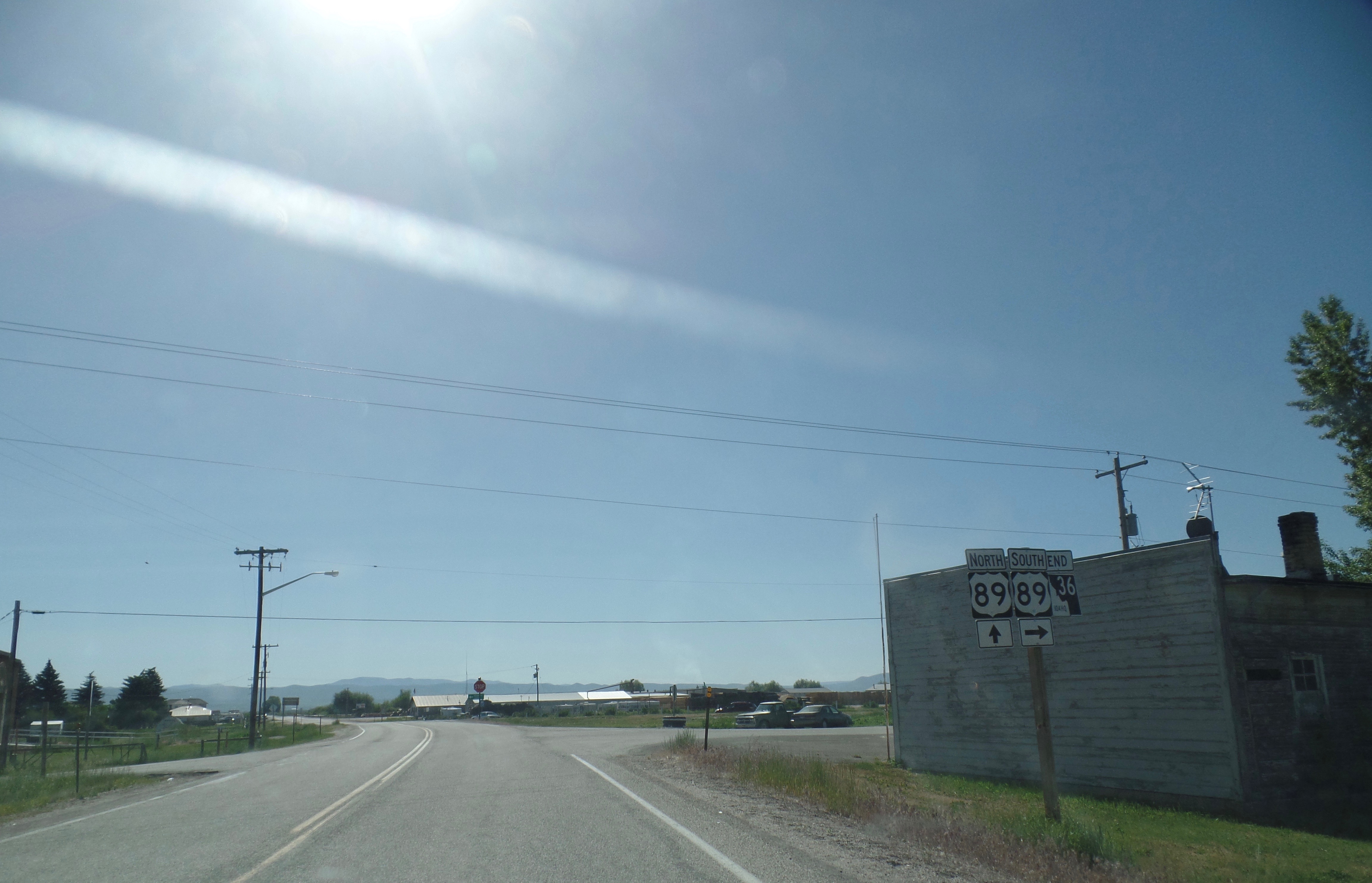
State Highway 36 (SH-36) is a east-west state highway located in the southeast part of the U.S. state of Idaho. SH-36 runs from Interstate 15 (I-15) near Malad City to U.S. Route 89 (US-89) near Montpelier. The highway is maintained by the Idaho Transportation Department. Route description SH-36 begins at a diamond interchange with I-15. As Deep Creek Road, the highway travels east before turning southeast, passing through the forest and just west of Old Baldy Peak before entering the town of Weston. There, SH-36 turns north, entering Dayton before turning east. Crossing the Bear River, the highway continues into the city of Preston, running concurrently with US-91 due north along State Street before turning northeast along a roadway with SH-34. After crossing the Bear River again, SH-36 continues northeast, passing through the community of Mink Creek before passing through fields and forests. SH-36 passes through Liberty before ending in the town of Ovid just west of M ... [...More Info...] [...Related Items...] OR: [Wikipedia] [Google] [Baidu] |
US 89
U.S. Route 89 (US 89) is a north–south United States Numbered Highway with two sections, and one former section. The southern section runs for from Flagstaff, Arizona, to the southern entrance of Yellowstone National Park. The northern section runs for from the northern entrance of Yellowstone National Park in Montana, ending at the Canadian border. Unnumbered roads through Yellowstone connect the two sections. Before 1992, US 89 was a Canada–Mexico, border-to-border highway that ended at Nogales, Arizona, on its southern end. Sometimes called the National Park Highway, US 89 links seven national parks across the Mountain West. In addition, 14 other national park areas, mostly national monuments, are also reachable from this backbone through the Colorado Plateau, Wasatch Mountains and northern Rockies. National Geographic named US Route 89 the No. 1 Driver's Drive in the world. Route description Arizona US 89 begins at Flagstaff, Arizona. The highway proceeds north pass ... [...More Info...] [...Related Items...] OR: [Wikipedia] [Google] [Baidu] |
US 30
U.S. Route 30 or U.S. Highway 30 (US 30) is an east–west main route in the system of the United States Numbered Highways, with the highway traveling across the northern tier of the country. With a length of , it is the third longest U.S. highway, after US 20 and US 6. The western end of the highway is at US 101 in Astoria, Oregon; the eastern end is at Virginia Avenue, Absecon Boulevard, and Adriatic Avenue in Atlantic City, New Jersey. The "0" as the last digit in the number indicates that it is a coast-to-coast route and a major east-west route. Despite long stretches of parallel and concurrent Interstate Highways, it has not been decommissioned unlike other long haul routes such as US 66. It's also the only route that has always been coast-to-coast since the beginning of US highways. Much of the historic Lincoln Highway, the first road across the United States (from New York City to San Francisco), became part of US 30; it is still ... [...More Info...] [...Related Items...] OR: [Wikipedia] [Google] [Baidu] |
Franklin County, Idaho
Franklin County is a county located in the U.S. state of Idaho. As of the 2020 Census the county had a population of 14,194. The county seat and largest city is Preston. The county was established in 1913 and named after Franklin D. Richards, an Apostle of the Church of Jesus Christ of Latter-day Saints. It is the only Franklin County in the United States that is not named after Benjamin Franklin. Franklin County is part of the Logan, UT-ID Metropolitan Statistical Area. History Idaho's oldest permanent non-native settlement occurred at Franklin on April 14, 1860, when Mormon settlers led by Thomas S. Smart established the settlement at its present location on the Cub River. It was the seventh and northernmost settlement in the Cache Valley at the time of its settlement and was believed to be in Utah until the Idaho boundary with Utah was finalized in 1872. All of the county's incorporated cities were settled by 1868 with Oxford settled in 1864, Weston in 1865, Dayton ... [...More Info...] [...Related Items...] OR: [Wikipedia] [Google] [Baidu] |
Rich County, Utah
Rich County is a county in the U.S. state of Utah. As of the 2010 United States Census, the population was 2,264, making it the third-least populous county in Utah. Its county seat is Randolph, and the largest town is Garden City. The county was created in 1864. It was named for an early LDS apostle, Charles C. Rich. The southern half of Bear Lake and the Bear Lake Valley lies on the northern edge of the county. The Bear River Valley lies in most of the eastern portion of the county. The elevation of these valleys is close to , and the rest of the county is covered by mountains, including the Bear River Range. Because of the high elevation, the climate is cold in winter and mild in summer, and the population is limited. History Rich County was believed to have first been visited by European-descended explorers in 1811, when trapper Joseph Miller discovered the Bear River. In 1827, the first annual rendezvous of trappers occurred on the south shore of Bear Lake, a tradit ... [...More Info...] [...Related Items...] OR: [Wikipedia] [Google] [Baidu] |


