|
Bayi District
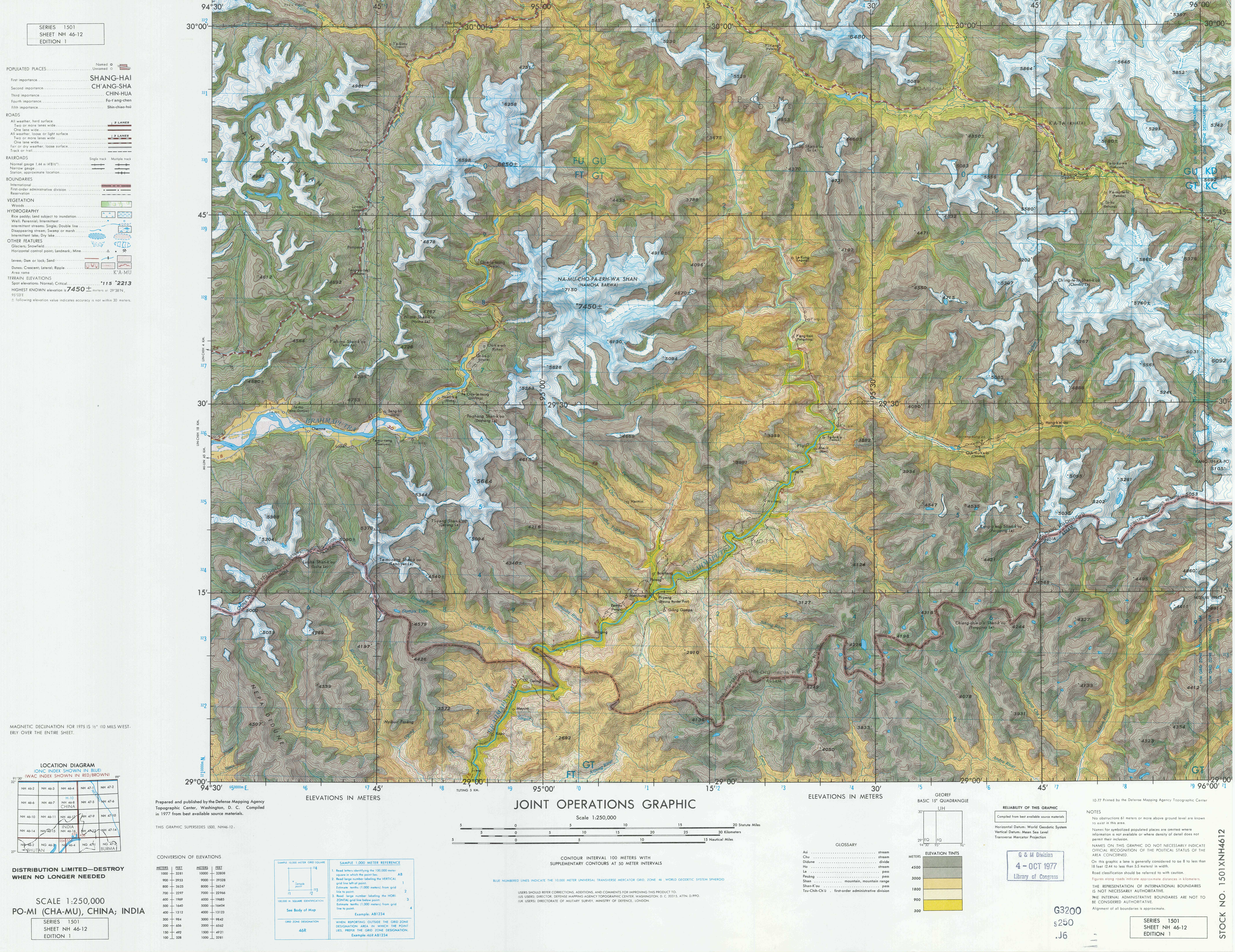
Bayi or Chagyib District ( or ), formerly Nyingchi County, is a District of Nyingchi in the Tibet Autonomous Region, China. Bayi Town, the administrative capital of Nyingchi, is located within the district. Geography Bayi is located in the middle reaches of the Yarlung Tsangpo River. Both steep cliffs and flat valleys exist in the area. The average altitude is 3000 metres above sea level. "The lowest places are just around 1,000 metres above sea level." There are many scenic places in or near Bayi. "The Seche La Mountain Scenic Spot, in the east of Nyingchi County, is a part of the Nyainqentanglha Mountain Range, the watershed of the Nyang River and the Polung Zangbo River. The Sichuan-Tibetan Highway passes by. Standing at the mountain pass at 4,728 meters above sea level, one can admire the sunrise, sea of clouds, endless forest and the grand Namjagbarwa Peak." Güncang township () and Pelung Township by the Sichuan-Tibet Highway are home to the Moinba ethnic group. A ... [...More Info...] [...Related Items...] OR: [Wikipedia] [Google] [Baidu] |
District Of The People's Republic Of China
The term ''district'', in the context of China, is used to refer to several unrelated political divisions in both ancient and modern China. In the modern context, district (), formally city-governed district, city-controlled district, or municipal district (), are subdivisions of a municipality or a prefecture-level city. The rank of a district derives from the rank of its city. Districts of a municipality are prefecture-level; districts of a sub-provincial city are sub-prefecture-level; and districts of a prefecture-level city are county-level. The term was also formerly used to refer to obsolete county-controlled districts (also known as district public office). However, if the word ''district'' is encountered in the context of ancient Chinese history, then it is a translation for ''xian'', another type of administrative division in China. Before the 1980s, cities in China were administrative divisions containing mostly urban, built-up areas, with very little farmland ... [...More Info...] [...Related Items...] OR: [Wikipedia] [Google] [Baidu] |
Hanzi
Chinese characters () are logograms developed for the writing of Chinese. In addition, they have been adapted to write other East Asian languages, and remain a key component of the Japanese writing system where they are known as ''kanji''. Chinese characters in South Korea, which are known as ''hanja'', retain significant use in Korean academia to study its documents, history, literature and records. Vietnam once used the ''chữ Hán'' and developed chữ Nôm to write Vietnamese before turning to a romanized alphabet. Chinese characters are the oldest continuously used system of writing in the world. By virtue of their widespread current use throughout East Asia and Southeast Asia, as well as their profound historic use throughout the Sinosphere, Chinese characters are among the most widely adopted writing systems in the world by number of users. The total number of Chinese characters ever to appear in a dictionary is in the tens of thousands, though most are graphic v ... [...More Info...] [...Related Items...] OR: [Wikipedia] [Google] [Baidu] |
Lamaling Monastery
Lamaling Monastery (Tib. bla ma gling?), also known as Zangdrok Pelri Monastery (桑多白日, ''Sangzhog Bairi'') and Burqug Lamaling (布久喇嘛林寺), is a Buddhist monastery located near the village of ''Jianqie'' (简切村, Administrative Division Code 54 26 21 201 209), Burqug Township, Bayi District (former Nyingchi County), in Tibet, on a small hill 1.5 km south of Buchu Monastery.Mayhew (2005), p. 234. The monastery belongs to the Nyingmapa sect, translated as the ‘Ancient Ones’; their lineages go back to the first infusion of Buddhism from India to Tibet in the 7th century CE. The Nyingma sect incorporated many of the traditions of the native Tibetan Bon religion, which respects nature and local nature spirits. Geography Lamaling Monastery is in the Nyingchi River valley, about west of Bayi town ( west off the main road). The river valley has snow-covered mountains, pristine lakes, villages and ancient monasteries, including the Lamaling Monastery. Th ... [...More Info...] [...Related Items...] OR: [Wikipedia] [Google] [Baidu] |
Buchu Monastery
Buchu Monastery, Buchu Sergyi Lhakhang, or Buchasergyi Lakang Monastery is a temple in an ancient monastery about 28 km south of the modern town of Bayi, which replaces the old village of Drakchi, in Nyingchi County of eastern Tibet. Description The two-storied monastery has a striking golden roof which can be seen from afar. There have been only eight monks living here recently. Previously the temple contained images of the Eight Manifestations of Padmasambhava, and the upper floor had eight images of Amitayus which have not yet been restored. The lower part of the large Padmasambhava downstairs survived, and still contains the ''zungjuk'' or mantra-core. History The original buildings here were built during the 7th century reign of King Songtsen Gampo. It was created as one of the eight "demoness-subduing" temples, and was constructed according to geomantic theory on the right elbow of the ogress who represented Tibet. It is the oldest Buddhist structure in the eastern Tibeta ... [...More Info...] [...Related Items...] OR: [Wikipedia] [Google] [Baidu] |
Güncang Monba Ethnic Township
Guncang is a village in the Tibet Autonomous Region of China. See also *List of towns and villages in Tibet This is an alphabetical list of all populated places, including cities, towns and villages, in the Tibet Autonomous Region of western China. A *Alamdo *Alhar *Arza *Asog B * Baga *Bagar * Baidi *Baima * Baimai *Baixoi *Bamda *Banag *Ban ... Populated places in Tibet Township-level divisions of Tibet {{Tibet-geo-stub ... [...More Info...] [...Related Items...] OR: [Wikipedia] [Google] [Baidu] |
Puqu Township
Puqu or Burqug () is a township located in the south of Bayi District, Nyingchi, Tibet Autonomous Region, China. See also *List of towns and villages in Tibet This is an alphabetical list of all populated places, including cities, towns and villages, in the Tibet Autonomous Region of western China. A *Alamdo *Alhar *Arza *Asog B *Baga, Tibet, Baga *Bagar *Baidi, Nagarzê County, Baidi *Baima * ... Notes Populated places in Nyingchi {{Nyingchi-geo-stub ... [...More Info...] [...Related Items...] OR: [Wikipedia] [Google] [Baidu] |
Lunang
This is an alphabetical list of all populated places, including cities, towns and villages, in the Tibet Autonomous Region of western China. A *Alamdo *Alhar *Arza *Asog B * Baga *Bagar * Baidi *Baima *Baimai *Baixoi *Bamda *Banag *Banbar *Banggaidoi *Bangkor *Bangru * Bangxing * Baqên *Bar *Bêba *Bei *Bênqungdo *Bilung *Birba * Biru *Bogkamba *Boindoi * Bolo *Bongba *Boqê *Bumgyê *Bungona’og * Bünsum * Burang *Bushêngcaka C * Caina *Cakaxiang *Camco *Cawarong * Cazê *Cêgnê *Cêngdo *Cêri *Cêrwai *Chabug *Chacang *Chagla * Chagna *Chagyoi *Cha’gyüngoinba *Chalükong *Chamco *Chamda *Chamoling *Changgo *Changlung *Changmar *Charing *Chatang *Chawola *Chêcang *Chênggo *Chepzi *Chibma *Chido *Chigu *Chongkü *Chongsar *Chowa *Chubalung *Chubarong *Chuka *Chumba *Chumbu *Chunduixiang *Co Nyi *Cocholung * Codoi *Cogo * Coka *Comai *Cona (Tsona) *Co’nga *Congdü *Conggo * Coqên *Coyang * Cuoma *Cuozheqiangma D *Dagdong *Dagmo *Dagri *Dagring *Dagzhuka ... [...More Info...] [...Related Items...] OR: [Wikipedia] [Google] [Baidu] |
Bêba
Bêba () is a town in the west of Bayi District, Nyingchi, in the southeast of the Tibet Autonomous Region. It lies at an altitude of 3,231 metres (10,603 feet) along China National Highway 318 China National Highway 318 (G318) runs from Shanghai to Zhangmu on the China-Nepal border. It is the longest China National Highway at in length and runs west from Shanghai towards Zhejiang, Anhui, Hubei, Chongqing, Sichuan, and ends in Tibet Au ... from Markam to Lhasa, between Bayi and Kongpo Gyamda. The Niyang River, a tributary of the Tsangpo, flows past the town. See also * List of towns and villages in Tibet Autonomous Region References Populated places in Nyingchi {{Nyingchi-geo-stub ... [...More Info...] [...Related Items...] OR: [Wikipedia] [Google] [Baidu] |


