|
Batura Sar
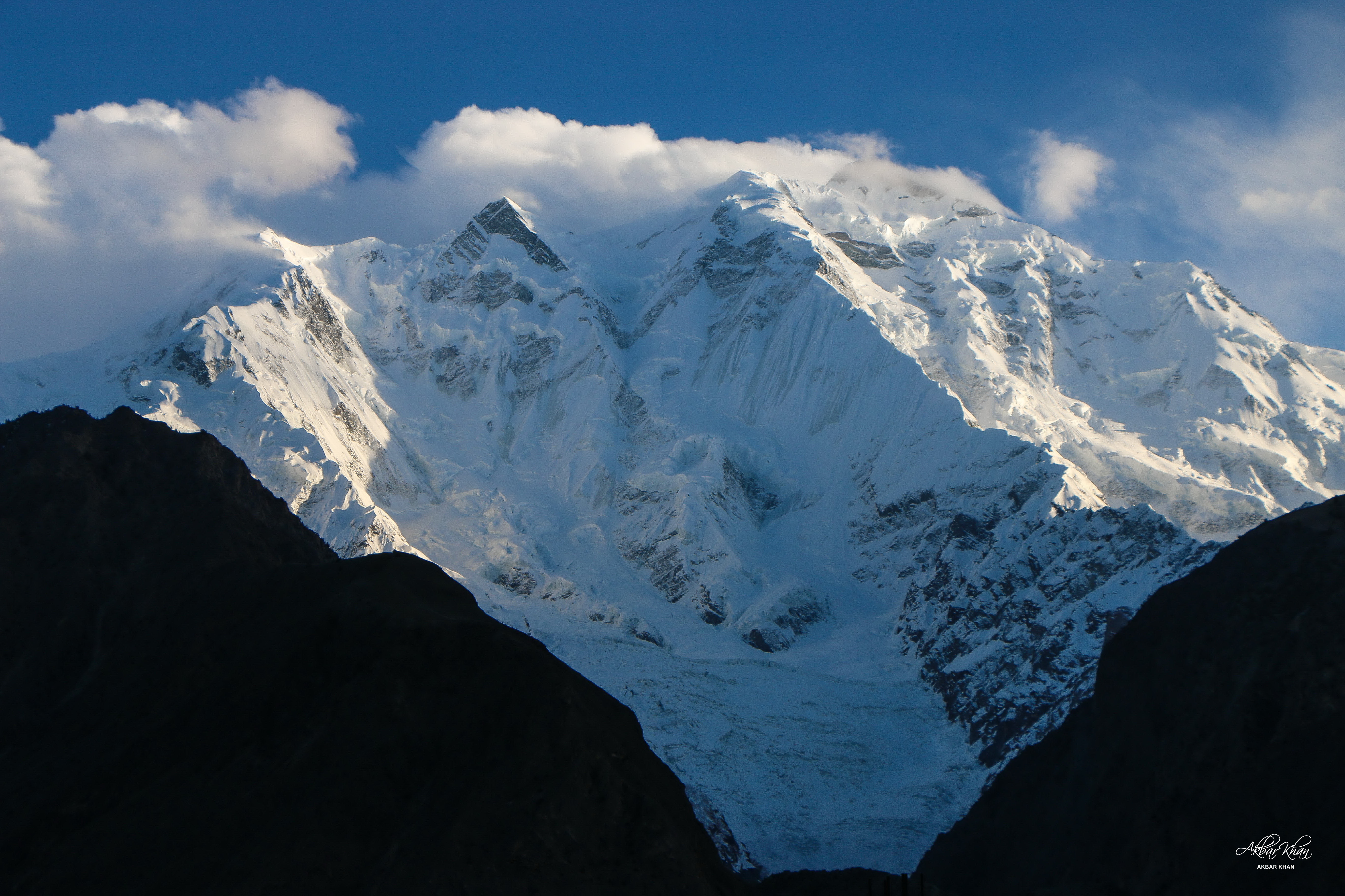
__NOTOC__ Batura Sar ( ur, بتورا سر), also referred to as Batura I, is the 25th-highest mountain on Earth and the 10th-highest in Pakistan. It is the highest peak of the Batura Muztagh, which is the westernmost subrange of the Karakoram range. It forms the apex of the Batura Wall, a continuously high part of the backbone of the Batura Muztagh. Alternate forms of the name of this peak are Batura, Batura I, and Batura I East. Location Batura Sar and the Batura Wall lie near the middle of the Batura Muztagh between Bar valley Nagar and Gojal Hunza, which is the only part of the Karakoram which is west of the Hunza-Nagar River. The river curves around the southwest, west, and northwest sides of the Batura Muztagh. Batura wall bisects Gojal hunza and Bar Valley Nagar. In turn, the Upper Hunza (Gojal Valley) lies in the Hunza District of the Gilgit-Baltistan. Notable features In addition to being one of the highest mountains in the world, Batura Sar is also the second most ... [...More Info...] [...Related Items...] OR: [Wikipedia] [Google] [Baidu] |
List Of Highest Mountains
Currently, There are at least 108 mountains on Earth with elevations of or greater above sea level. The vast majority of these mountains are located on the edge of the Indian plate, Indian and Eurasian plate, Eurasian plates in China, India, Nepal and Pakistan. The dividing line between a mountain with multiple peaks and separate mountains is not always clear (see also Highest unclimbed mountain). A popular and intuitive way to distinguish mountains from subsidiary peaks is by their height above the highest saddle connecting it to a higher summit, a measure called topographic prominence or re-ascent (the higher summit is called the "parent peak"). A common definition of a mountain is a summit with prominence. Alternatively, a relative prominence (prominence/height) is used (usually 7–8%) to reflect that in higher mountain ranges everything is on a larger scale. The table below lists the highest 100 summits with at least prominence, approximating a 7% relative prominence ... [...More Info...] [...Related Items...] OR: [Wikipedia] [Google] [Baidu] |
List Of Ultras Of The Karakoram And Hindu Kush
This is a list of all the Ultra prominent peaks (with topographic prominence greater than 1,500 metres) in the Karakoram, Hindu Kush and neighbouring ranges. The list includes 4 of the 14 8000m summits, all in the Karakoram, including the second highest mountain in the world, K2. There are a further 19 Ultras in the Karakoram and 5 in the Hindu Kush over 7,000m. The Ultras of the Himalayas lie to the south east and are listed separately. To the north are the Pamirs, and to the east the mountains of Tibet. Despite their height, only 3 mountains are among the 100 most prominent mountains, K2, in 22nd place, Tirich Mir (30) and Batura Sar (77). A further 3 are on the list of 125 most prominent mountains: Buni Zom (117); Kuh-e Bandaka (118); and Rakaposhi (122). Karakoram Hindu Kush South of the Khyber Pass Hindu Raj The Hindu Raj ( ur, , translation: "Hindu rule" in Sanskrit) is a mountain range in northern Pakistan, between the Hindu Kush and the Karakoram ranges. I ... [...More Info...] [...Related Items...] OR: [Wikipedia] [Google] [Baidu] |
Fixed Rope
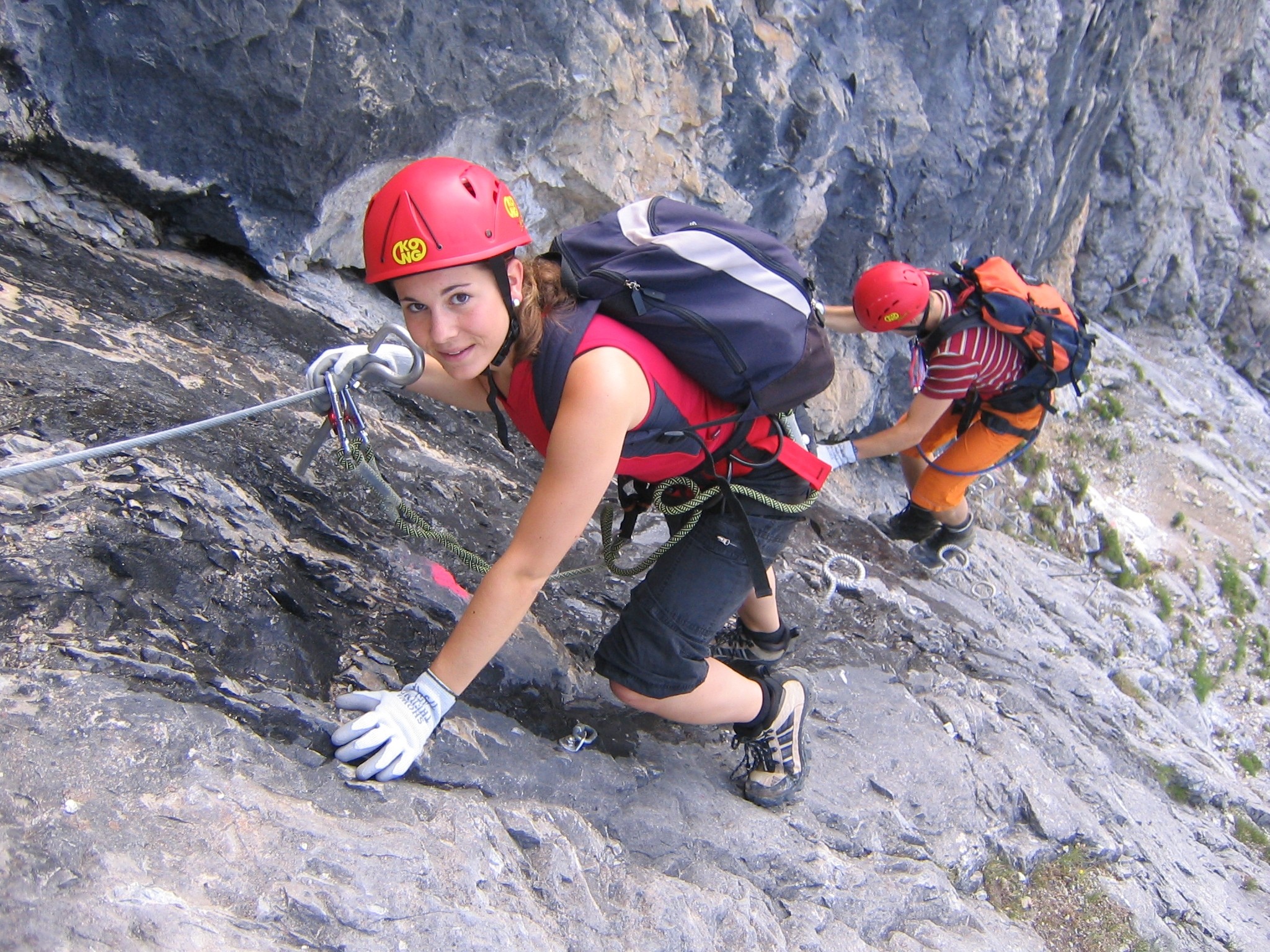
In mountaineering, a fixed rope or fixed line is the practice of fixing in place bolted ropes to assist climbers and walkers in exposed mountain locations. They are used widely on American and European climbing routes, where they may be called via ferrata routes, but are not used in "Alpine style" mountaineering. Many guided expeditions to any of the eight-thousanders normally set up fixed rope on steep or icy sections of the route. For example, on the Hillary Step of Mount Everest Mount Everest (; Tibetic languages, Tibetan: ''Chomolungma'' ; ) is List of highest mountains on Earth, Earth's highest mountain above sea level, located in the Mahalangur Himal sub-range of the Himalayas. The China–Nepal border ru ..., fixed rope was used to reduce the bottleneck of climbers that typically results from climbing this technical section just below the summit. In changing mountain environments such as glaciers, ice falls and areas with significant snow, fixed lines must ge ... [...More Info...] [...Related Items...] OR: [Wikipedia] [Google] [Baidu] |
Rakaposhi
Rakaposhi ( ur, ) is a mountain in the Karakoram mountain range of the Gilgit-Baltistan territory of Pakistan. Geography Rakaposhi is a mountain in the Karakoram mountain range in the Gilgit-Baltistan territory of Pakistan, about north of the city of Gilgit. It is ranked 27th-highest in the world. Rakaposhi rises over the Bagrot, Nagar, and Danyor Rakaposhi is the only mountain in the world with more than 5,000 meters height between base camp and the summit; by contrast all of the other tallest mountains in the world have less than 5,000 meters from base camp to top. The first successful recorded ascent by non-natives was in 1958 by Mike Banks and Tom Patey, members of a British expedition, via the Southwest Spur/Ridge route. Park Rakaposhi is also known as Dumani ("Mother of Mist" or "Mother of Clouds"). The people of Nagar and Bagrot Valley have dedicated the Rakaposhi range mountain area as a community park. The Minister for Northern A ... [...More Info...] [...Related Items...] OR: [Wikipedia] [Google] [Baidu] |
Topographic Prominence
In topography, prominence (also referred to as autonomous height, relative height, and shoulder drop in US English, and drop or relative height in British English) measures the height of a mountain or hill's summit relative to the lowest contour line encircling it but containing no higher summit within it. It is a measure of the independence of a summit. A peak's ''key col'' (the highest col surrounding the peak) is a unique point on this contour line and the ''parent peak'' is some higher mountain, selected according to various criteria. Definitions The prominence of a peak may be defined as the least drop in height necessary in order to get from the summit to any higher terrain. This can be calculated for a given peak in the following way: for every path connecting the peak to higher terrain, find the lowest point on the path; the ''key col'' (or ''key Saddle point, saddle'', or ''linking col'', or ''link'') is defined as the highest of these points, along all connecting pat ... [...More Info...] [...Related Items...] OR: [Wikipedia] [Google] [Baidu] |
Hunza District
The Hunza District ( ur, ) is one of the 14 districts of the Pakistani province of Gilgit-Baltistan. It was established in 2015 by the division of the Hunza–Nagar District in accordance with a government decision to establish more administrative units in Gilgit-Baltistan. The district headquarters is the town of Karimabad. Geography The Hunza District is bounded on the north and east by the Kashgar Prefecture of China's Xinjiang Uyghur Autonomous Region, on the south by the Nagar District and the Shigar District, on the west by the Ghizer District, and on the north-west by the Wakhan District of Afghanistan's Badakhshan Province. The Hunza District represents the northernmost region of the Indian subcontinent. It is home to the historic passes through the Karakoram Mountains (the Killik, Mintaka, Khunjerab, and Shimshal passes) through which trade and religion passed between Central Asia, China, and India for centuries. The present-day Karakoram Highway passes through t ... [...More Info...] [...Related Items...] OR: [Wikipedia] [Google] [Baidu] |
Gojal Valley
Gojal ( Wakhi: , Kyrgyz: ), also called Upper Hunza, is situated in the north western part of Pakistan. It borders China at the Khunjerab Pass, and Afghanistan at the Chapursan valley. In 2019, Gojal Valley became the second Sub-Division within the Hunza District. It is geographically the largest subdivision of the Gilgit-Baltistan. Gojal or Upper Hunza is composed of a number of large and small valleys sharing borders with Central Hunza in the South, China in the north-east, and Afghanistan in the north-west. Aeenabad is the first village of Gojal, Upper Hunza. Except for the Shimshal, Misgar, and Chipursan valleys, all the villages of Gojal, Upper Hunza can be seen from the Karakoram Highway (KKH), which crosses ''Gojal'', entering China at the Khunjerab Pass. The Gojal region has 20,000 Ismaili residents. History The valleys and villages of Gojal were settled over time by people from surrounding regions. Kyrgyz nomads initially used the areas in Upper Gojal as winter pastu ... [...More Info...] [...Related Items...] OR: [Wikipedia] [Google] [Baidu] |
Mountain Range
A mountain range or hill range is a series of mountains or hills arranged in a line and connected by high ground. A mountain system or mountain belt is a group of mountain ranges with similarity in form, structure, and alignment that have arisen from the same cause, usually an orogeny. Mountain ranges are formed by a variety of geological processes, but most of the significant ones on Earth are the result of plate tectonics. Mountain ranges are also found on many planetary mass objects in the Solar System and are likely a feature of most terrestrial planets. Mountain ranges are usually segmented by highlands or mountain passes and valleys. Individual mountains within the same mountain range do not necessarily have the same geologic structure or petrology. They may be a mix of different orogenic expressions and terranes, for example thrust sheets, uplifted blocks, fold mountains, and volcanic landforms resulting in a variety of rock types. Major ranges Most geolo ... [...More Info...] [...Related Items...] OR: [Wikipedia] [Google] [Baidu] |
List Of Peaks By Prominence
This is a list of mountain peaks ordered by their topographic prominence. Terminology The prominence of a peak is the minimum height of climb to the summit on any route from a higher peak, or from sea level if there is no higher peak. The lowest point on that route is the col. For full definitions and explanations of ''topographic prominence'', ''key col'', and ''parent'', see topographic prominence. In particular, the different definitions of the parent of a peak are addressed at length in that article. ''Height'' on the other hand simply means elevation of the summit above sea level. Regarding parents, the ''prominence parent'' of peak A can be found by dividing the island or region in question into territories, by tracing the runoff from the key col (mountain pass) of every peak that is more prominent than peak A. The parent is the peak whose territory peak A resides in. The ''encirclement parent'' is found by tracing the contour below peak A's key col and picking the highe ... [...More Info...] [...Related Items...] OR: [Wikipedia] [Google] [Baidu] |
Batura Muztagh
__NOTOC__ The Batura Muztagh () mountains are a sub-range of the Karakoram mountain range. They are located in between central hunza and upper hunza(Gojal valley) in the Hunza district of the Gilgit-Baltistan province in northern Pakistan. They are the westernmost sub-range of the Karakoram, running from Chalt village in Bar Valley in the east to Kampir Dior in the Kurumbar Valley in the west, and they separate the Hindu Raj range from the Karakoram range. The Muchu Chhish peak located in this sub-range remains the second highest unclimbed peak in the world. Selected peaks in the Batura Muztagh Books, pamphlets, and maps about Batura Muztagh *''High Asia: An Illustrated History of the 7000 Metre Peaks'' by Jill Neate, *''Batura Mustagh'' (sketch map and pamphlet) by Jerzy Wala, 1988. *''Orographical Sketch Map of the Karakoram'' by Jerzy Wala, 1990. Published by the Swiss Foundation for Alpine Research. See also * List of Highest Mountains of the World * List of mountains in ... [...More Info...] [...Related Items...] OR: [Wikipedia] [Google] [Baidu] |
List Of Mountains In Pakistan
Pakistan is home to 108 peaks above 7,000 metres and 4555 above 6,000 m. There is no count of the peaks above 5,000 and 4,000 m. Five of the 14 highest independent peaks in the world (the eight-thousanders) are in Pakistan (four of which lie in the surroundings of Concordia; the confluence of Baltoro Glacier and Godwin Austen Glacier). Most of the highest peaks in Pakistan lie in the Karakoram mountain range (which lies almost entirely in the Gilgit–Baltistan region of Pakistan, and is considered to be a separate range from Himalayan range) but some peaks above 7,000 m are included in the Himalayan and Hindu Kush ranges. Moreover, Pakistan is home to over 7,000 glaciers, more than anywhere except the polar regions. Considerations The list is an incomplete list of mountains in Pakistan. There are many named and unnamed peaks in Pakistan that are currently not included in this list. The list also includes many peaks that are not usually classed as independent mountains, but i ... [...More Info...] [...Related Items...] OR: [Wikipedia] [Google] [Baidu] |


.png)


