|
Battle Of Porta
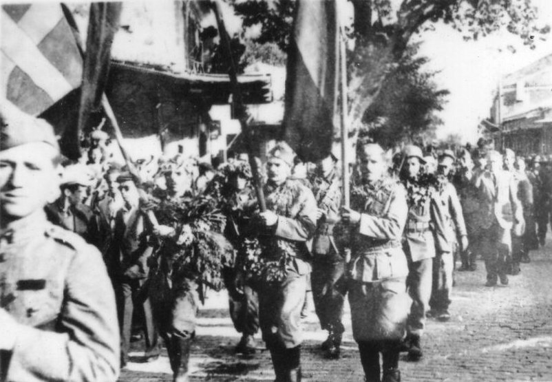
The Battle of Porta ( el, Μάχη της Πόρτας) was fought on 8–9 June 1943 at the Porta and Mouzaki passes in western Thessaly, between the partisans of the Greek People's Liberation Army (ELAS) and the Royal Italian Army, during the Axis occupation of Greece. In spring 1943, a wave of successes demonstrated the rise of the Greek Resistance to the Axis powers, particularly the Italians; large areas of the mountainous interior of the country were effectively liberated. In response, the Italian 11th Army planned a large-scale anti-partisan operation for June. Warned of Italian intentions, ELAS General Headquarters withdrew its dispersed detachments to the central Pindus massif. In Thessaly, the forces withdrawn from the Mount Pelion and Mount Kissavos areas, were detailed to watch the Porta and Mouzaki passes, covering the withdrawal of the rest of the Thessalian partisans. Contrary to orders from ELAS GHQ to only engage in disruptive hit-and-run attacks against th ... [...More Info...] [...Related Items...] OR: [Wikipedia] [Google] [Baidu] |
Porta, Thessaly
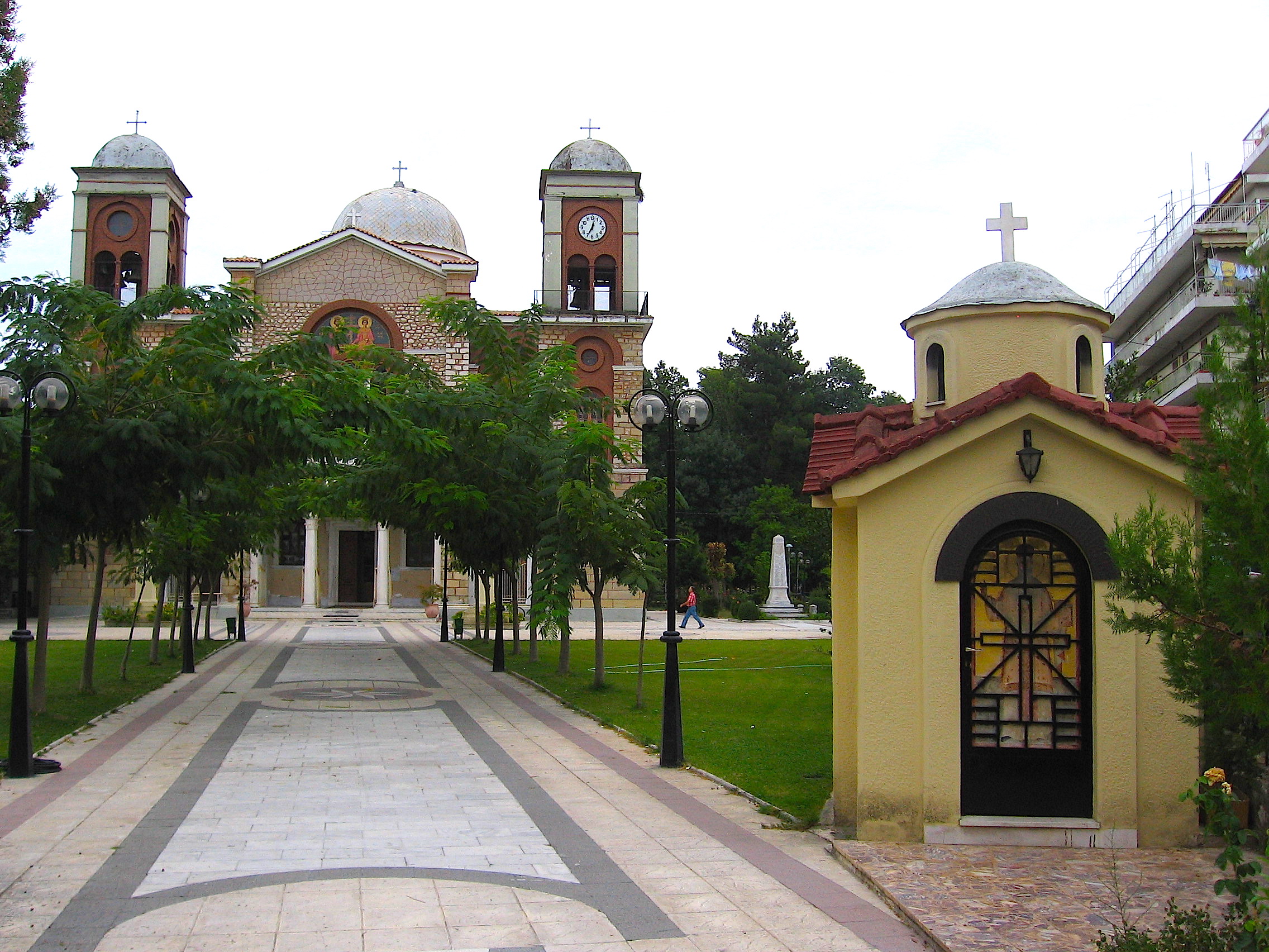
Pyli ( el, Πύλη) is a municipality in the Trikala regional unit, Greece. Situated 18 km west of Trikala, right at the bottom of two mountains Itamos, and Koziakas, which mark the beginning of the Pindos mountainline, Pyli marks the entrance to a great gorge and the natural path that leads to the city of Arta. The river Portaikos, a tributary of the river Pineios, runs through this location. The municipality of Pyli contains 7 municipal units, but the town itself has a population of about 4,000. Most inhabitants are either self-employed in business establishments. Agriculture and animal herding as an occupation has been largely abandoned, though the surrounding area is ideal for both (mountainous and flat terrain). Pyli had always been the major trade center for the surrounding settlements. History The settlement of Pyli has been referenced since antiquity. It is first mentioned in the work of Pausanias, ''Description of Greece'' (''Hellados Periegesis''), a travel and ... [...More Info...] [...Related Items...] OR: [Wikipedia] [Google] [Baidu] |
Mount Pelion
Pelion or Pelium (Modern el, Πήλιο, ''Pílio''; Ancient Greek/Katharevousa: Πήλιον, ''Pēlion'') is a mountain at the southeastern part of Thessaly in northern Greece, forming a hook-like peninsula between the Pagasetic Gulf and the Aegean Sea. Its highest summit, ''Pourianos Stavros'', is amsl. The Greek National Road 38 (GR-38) runs through the southern portion of the peninsula and GR-38A runs through the middle. Geography and economy The mountain is thickly forested, with both deciduous and perennial forests, mainly of beech, oak, maple and chestnut trees, with olive, apple, pear trees and plane tree groves surrounding places with water. Pelion is considered one of the most beautiful mountains in Greece and is a popular tourist attraction throughout the year: hiking trails and stone paths give access to springs, coves and numerous beaches, sandy or pebbly, set among lusciously green slopes. Pelion is an amply watered mountain with an abundance of springs, gorge ... [...More Info...] [...Related Items...] OR: [Wikipedia] [Google] [Baidu] |
Metsovo
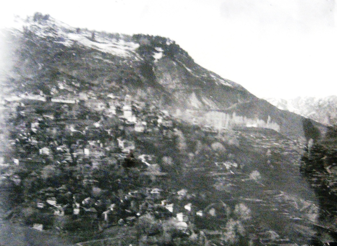
Metsovo ( el, Μέτσοβο; rup, Aminciu) is a town in Epirus, in the mountains of Pindus in northern Greece, between Ioannina to the west and Meteora to the east. The largest centre of Aromanian (Vlach) life in Greece, Metsovo is a large regional hub for several small villages and settlements in the Pindus region, and it features many shops, schools, offices, services, museums, and galleries. The economy of Metsovo is dominated by agriculture and tourism, the latter of which flourishes in winter. Metsovo is served by Greek National Road 6 (Ioannina – Trikala) and by the Egnatia Odos motorway. Etymology From medieval times till well into the 19th century, Metsovo was known, in various sources, as ''Metzovo''. From the end of the 18th century on, the literary form of ''Messovon'' makes its appearance. The town is known as ''Aminciu'' in Aromanian (Vlach), and as ''Miçova'' in Ottoman Turkish. Ottoman census records In the Ottoman census records we see the word ''Mcwh'' ... [...More Info...] [...Related Items...] OR: [Wikipedia] [Google] [Baidu] |
Grevena
Grevena ( el, Γρεβενά, ''Grevená'', , rup, Grebini) is a town and municipality in Western Macedonia, northern Greece, capital of the Grevena regional unit. The town's current population is 13,374 citizens (2011). It lies about from Athens and about from Thessaloniki. The municipality's population is 25,905. Grevena has had access to the Egnatia Odos since the early 2000s, which now connects Igoumenitsa with Thessaloniki and Alexandroupoli at the border with Turkey. Mountains surround the municipality, which is situated by the river Greveniotikos, which itself flows into the Aliakmon. Other significant towns in the municipality are Amygdaliés and Méga Seiríni. Grevena Municipal Museum is located in the town. History Ottoman period Under Ottoman rule, Grevena (Ottoman name ''Gerebena'') was the seat of the kaza of Grevena, Sanjak of Serfice, Manastir Vilayet. According to the statistics of Vasil Kanchov ("Macedonia, Ethnography and Statistics"), 600 Greek Chris ... [...More Info...] [...Related Items...] OR: [Wikipedia] [Google] [Baidu] |
Karditsa
Karditsa ( el, Καρδίτσα ) is a city in western Thessaly in mainland Greece. The city of Karditsa is the capital of Karditsa regional unit of region of Thessaly. Inhabitation is attested from 9000 BC. Karditsa ls linked with GR-30, the road to Karpenisi, and the road to Palamas and Larissa. Karditsa is south-west of Palamas and Larissa, west of Farsala and the Volos area, north-west of Athens, Lamia, Domokos and Sofades, north of Karpenisi, north-east of Arta, and east-south-east of Trikala, Grevena, Ioannina, and Kalampaka. Karditsa has elementary schools, high schools, junior high schools, the Veterinary Medicine Department of the University of Thessaly which is one of only two Veterinary departments in Greece, three other university departments of the University of Thessaly, churches, banks, a post office, a railway station, a sports ground, a water tower, and squares. Karditsa is one of the most bicycle-friendly cities in Greece with an extensive network of bicycle ... [...More Info...] [...Related Items...] OR: [Wikipedia] [Google] [Baidu] |
Battle Of Fardykambos
The Battle of Fardykambos ( el, Μάχη του Φαρδύκαμπου), also known as the Battle of Bougazi (Μάχη στο Μπουγάζι), was fought between the National Liberation Front (EAM-ELAS) of the Greek Resistance against the Italian troops during the Axis Occupation of Greece. The battle was notable for the large-scale and spontaneous participation of the local populace, and of officers from other groups and organizations, including right-wing rivals to ELAS. The three-day battle began with the successful ambush of an Italian transport column on 4 March 1943. The Italian battalion garrisoning the nearby town of Grevena came to the column's rescue, but was halted before the town of Siatista by Greek partisan forces. The Greek forces continued to swell as reserve officers and ordinary civilians flocked as volunteers to the sound of battle, reaching a force of some 2,000 men. By nightfall on 5 March, the Italian battalion had been surrounded by the Greeks, and af ... [...More Info...] [...Related Items...] OR: [Wikipedia] [Google] [Baidu] |
National Liberation Front (Greece)
The National Liberation Front ( el, Εθνικό Απελευθερωτικό Μέτωπο, ''Ethnikó Apeleftherotikó Métopo'' (EAM) was an alliance of various political parties and organizations which fought to liberate Greece from Axis Occupation. It was the main movement of the Greek Resistance during the occupation of Greece. Its main driving force was the Communist Party of Greece (KKE), but its membership throughout the occupation included several other leftist and republican groups. ΕΑΜ became the first true mass social movement in modern Greek history. Its military wing, the Greek People's Liberation Army (ELAS), quickly grew into the largest armed guerrilla force in the country, and the only one with nationwide presence. At the same time, from late 1943 onwards, the political enmity between ΕΑΜ and rival resistance groups from the centre and right evolved into a virtual civil war, while its relationship with the British and the British-backed Greek government ... [...More Info...] [...Related Items...] OR: [Wikipedia] [Google] [Baidu] |
Macedonia (Greece)
Macedonia (; el, Μακεδονία, Makedonía ) is a geographic and former administrative region of Greece, in the southern Balkans. Macedonia is the largest and Greek geographic region, with a population of 2.36 million in 2020. It is highly mountainous, with most major urban centres such as Thessaloniki and Kavala being concentrated on its southern coastline. Together with Thrace, and sometimes also Thessaly and Epirus, it is part of Northern Greece. Greek Macedonia encompasses entirely the southern part of the wider region of Macedonia, making up 51% of the total area of that region. Additionally, it forms part of Greece's borders with three countries: Bulgaria to the northeast, North Macedonia to the north, and Albania to the northwest. Greek Macedonia incorporates most of the territories of ancient Macedon, a kingdom ruled by the Argeads, whose most celebrated members were Alexander the Great and his father Philip II. Before the expansion of Macedonia under Phili ... [...More Info...] [...Related Items...] OR: [Wikipedia] [Google] [Baidu] |
Greek Gendarmerie
The Hellenic Gendarmerie (, ''Elliniki Chorofylaki'') was the national gendarmerie and military police (until 1951) force of Greece. History 19th century The Greek Gendarmerie was established after the enthronement of King Otto in 1833 as the Royal Gendarmerie ( el, Βασιλική Χωροφυλακή) and modeled after the French National Gendarmerie. It was at that time formally part of the army and under the authority of the Army Ministry. Several foreign advisers (particularly from Bavaria, who emphasized elements of centralization and authoritarianism), were also brought in to provide training and tactical advice to the newly formed force. The main task of the Gendarmerie under the army as a whole during this period was firstly to combat the extensive banditry which was endemic in the countryside throughout the 19th century and included kidnappings for ransom, the suppression of local revolts, and the establishment of a strong executive government. Dimitrios Deligeorgi ... [...More Info...] [...Related Items...] OR: [Wikipedia] [Google] [Baidu] |
Hellenic State (1941–1944)
The Hellenic State ( el, Ελληνική Πολιτεία, Elliniki Politeia, also translated as Greek State) was the collaborationist government of Greece during the country's occupation by the Axis powers in the Second World War. Establishment After the fall of Greece, General Georgios Tsolakoglou was appointed Prime minister of the new Greek government on April 30, 1941. As King George II had left the country with the legitimate Greek government-in-exile, the new regime avoided all reference to the Greek monarchy and used ''Hellenic State'' as the country's official, generic, name. The collaborationist regime lacked a precise political definition, although Tsolakoglou, a republican officer, considered the Axis occupation as an opportunity to abolish the monarchy, and announced its end upon taking office.Bernhard R. KroenerGermany and the Second World War Volume V/II Oxford University Press, 2003, p. 44 The existence of a native Greek government was considered necessa ... [...More Info...] [...Related Items...] OR: [Wikipedia] [Google] [Baidu] |
Crete
Crete ( el, Κρήτη, translit=, Modern: , Ancient: ) is the largest and most populous of the Greek islands, the 88th largest island in the world and the fifth largest island in the Mediterranean Sea, after Sicily, Sardinia, Cyprus, and Corsica. Crete rests about south of the Greek mainland, and about southwest of Anatolia. Crete has an area of and a coastline of 1,046 km (650 mi). It bounds the southern border of the Aegean Sea, with the Sea of Crete (or North Cretan Sea) to the north and the Libyan Sea (or South Cretan Sea) to the south. Crete and a number of islands and islets that surround it constitute the Region of Crete ( el, Περιφέρεια Κρήτης, links=no), which is the southernmost of the 13 top-level administrative units of Greece, and the fifth most populous of Greece's regions. Its capital and largest city is Heraklion, on the north shore of the island. , the region had a population of 636,504. The Dodecanese are located to the no ... [...More Info...] [...Related Items...] OR: [Wikipedia] [Google] [Baidu] |
Battle Of Greece
The German invasion of Greece, also known as the Battle of Greece or Operation Marita ( de , Unternehmen Marita, links = no), was the attack of Greece by Italy and Germany during World War II. The Italian invasion in October 1940, which is usually known as the Greco-Italian War, was followed by the German invasion in April 1941. German landings on the island of Crete (May 1941) came after Allied forces had been defeated in mainland Greece. These battles were part of the greater Balkans Campaign of the Axis powers and their associates. Following the Italian invasion on 28 October 1940, Greece, with British air and material support, repelled the initial Italian attack and a counter-attack in March 1941. When the German invasion, known as Operation Marita, began on 6 April, the bulk of the Greek Army was on the Greek border with Albania Albania ( ; sq, Shqipëri or ), or , also or . officially the Republic of Albania ( sq, Republika e Shqipërisë), is a country in Sout ... [...More Info...] [...Related Items...] OR: [Wikipedia] [Google] [Baidu] |


