|
Barry County, Missouri
Barry County is a county located in the southwest portion of the U.S. state of Missouri. As of the 2020 Census, the population was 34,534. Its county seat is Cassville. The county was organized in 1835 and named after William Taylor Barry, a U.S. Postmaster General from Kentucky. The town of Barry, also named after the postmaster-general, was located just north of Kansas City, not in Barry County. Geography According to the U.S. Census Bureau, the county has a total area of , of which is land and (1.6%) is water. Roaring River State Park is located in the southern part of the county, amid the Mark Twain National Forest. Adjacent counties * Lawrence County (north) * Stone County (east) *Carroll County, Arkansas (southeast) *Benton County, Arkansas (south) * McDonald County (southwest) * Newton County (northwest) Major highways * U.S. Route 60 * Route 37 * Route 39 * Route 76 * Route 86 * Route 97 * Route 248 National protected area *Mark Twain National For ... [...More Info...] [...Related Items...] OR: [Wikipedia] [Google] [Baidu] |
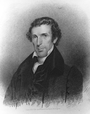
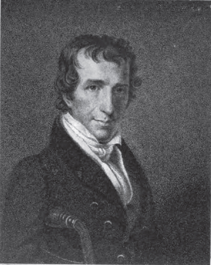
William Taylor Barry
William Taylor Barry (February 5, 1784 – August 30, 1835) was an American statesman, and jurist. He served as Postmaster General for most of the administration of President Andrew Jackson and was the only Cabinet member not to resign in 1831 as a result of the Petticoat affair. Life Born near Lunenburg, Virginia, he moved to Fayette County, Kentucky, in 1796 with his parents John Barry, an American Revolutionary War veteran, and Susannah (Dozier) Barry. His grandfather, Alexander Barry was born in Ribble Valley, Lancashire, England in 1721 and moved to America in 1744. He attended the common schools, Pisgah Academy and Kentucky Academy in Woodford County, Transylvania University at Lexington and graduated from the College of William & Mary at Williamsburg, Virginia in 1803, after which studied law and was admitted to the bar in 1805. He commenced practice at Jessamine County, Kentucky and then at Lexington. Political life Elected to the Kentucky House of Representa ... [...More Info...] [...Related Items...] OR: [Wikipedia] [Google] [Baidu] |
McDonald County, Missouri
McDonald County is a county located in the southwestern corner of the U.S. state of Missouri. As of the 2020 census, the population was 23,303. and was estimated to be 24,054 in 2024, Its county seat is Pineville. History The county was organized in 1849 and named for Sergeant Alexander McDonald, a soldier in the American Revolutionary War. The county has three sites on the National Register of Historic Places, including the Old McDonald County Courthouse and the Powell Bridge. Geography According to the United States Census Bureau, the county has a total area of , of which is land and (0.04%) is water. It is the 71st largest county in Missouri by total area. Adjacent counties * Newton County (north) * Barry County (east) * Benton County, Arkansas (south) * Delaware County, Oklahoma (west) * Ottawa County, Oklahoma (northwest) Major highways * Interstate 49 * U.S. Route 71 * Route 43 * Route 59 * Route 76 * Route 90 Demographics As of the fourth quarter ... [...More Info...] [...Related Items...] OR: [Wikipedia] [Google] [Baidu] |
Missouri Route 97
Route 97 is a highway in southwest Missouri. Its northern terminus is at Route 32 south of El Dorado Springs; its southern terminus is at Route 86, four miles north of Wheaton. Route description Route 97 starts at a curve of Route 32, 8 miles south of El Dorado Springs. Runs south for 8 miles, where State Hwy B joins it for a 2-mile stretch to the western edge of Jerico Springs. On the western side of Jerico Springs, the road turns to the east. In downtown Jerico Springs, Hwy B continues straight; while 97 turns to the south. 3 miles south of Jerico Springs, at the junction of State Hwy D, 97 turns east for a few miles, before turning back south to Lockwood. At Lockwood, 97 intersects US Route 160. It then crosses the BNSF railroad Fort Scott sub in downtown Lockwood; then runs south for 14 miles to a junction with Missouri Route 96. After crossing 96, it crosses Spring River & the Missouri & North Arkansas railroad, just north of Stotts City. It then passes through Stot ... [...More Info...] [...Related Items...] OR: [Wikipedia] [Google] [Baidu] |
Missouri Route 86
Route 86 is a highway in southwest Missouri. The eastern terminus is at U.S. Route 65 just north of Ridgedale. From there, the road crosses the Long Creek arm of Table Rock Lake and continues to Blue Eye west between the Arkansas state line on the south and Table Rock Lake on the north.''Missouri Atlas & Gazetteer,'' DeLorme, 1998, First edition, p. 60-62, This section is also in the Mark Twain National Forest, and is recommended as a scenic drive by the Missouri Department of Transportation. From Eagle Rock the road turns north to join with Route 76 at Bates Corner with which it is runs concurrent through Cassville to just east of Rocky Comfort. The road continues north and west towards Neosho, then goes further west before turning north towards Joplin where the road ends at the interchange of Interstate 44 and Route 43. History The original highway only ran between Ridgedale and Route 43 (now Route 13) north of Blue Eye. It was later extended both east an ... [...More Info...] [...Related Items...] OR: [Wikipedia] [Google] [Baidu] |
Missouri Route 76
Route 76 is a highway in the west half of southern Missouri running between U.S. Route 60 and U.S. Route 63 at Willow Springs and the Oklahoma state line near Tiff City where it continues as a county road. It bypasses Branson on the Ozark Mountain High Road and is the namesake of the Branson strip, 76 Country Blvd. The road runs for its entirety through the Missouri Ozarks, and is at times very hilly and curvy. Route description Route 76 begins at Willow Springs. Within a couple of miles, the highways enters the Mark Twain National Forest, which it leaves after . At the Douglas County line it begins a concurrency with Route 181. North of Vanzant is an intersection with Route 95, and further west is the northern junction with Route 5. On the west side of Ava, Route 76/Route 5 has an intersection with Route 14, and south of Ava, Route 76 will turn west off Route 5. At Brownbranch, the highway enters another part of the Mark Twain National Forest, and at Bradley ... [...More Info...] [...Related Items...] OR: [Wikipedia] [Google] [Baidu] |
Missouri Route 39
Route 39 is a two-lane highway in southwestern Missouri. Its northern terminus is at U.S. Route 54 between Collins and El Dorado Springs at the community of Cedar Springs; its southern terminus is at the Arkansas state line (north of Berryville, Arkansas) where it continues as Highway 221. Route 39 is one of the original 1922 state highways. At that time, its southern terminus was at the Dade/ Lawrence County line south of Pennsboro. There is a short Business Route 39 in Mount Vernon. Route description Route 39 begins at US 54 in Cedar County, heading south-southeast towards Stockton. About one mile (1.6 km) before reaching Stockton, the road begins a brief concurrency with Route 32 before turning south again. Two miles south of Stockton is the western terminus of Route 215. Route 39 enters Dade County north of Arcola and south of that village, Route 39 crosses a branch of Stockton Lake. At Greenfield is the beginning of a concurrency with U.S. Route 160 w ... [...More Info...] [...Related Items...] OR: [Wikipedia] [Google] [Baidu] |
Missouri Route 37
Route 37 is a highway in southwest Missouri. Its northern terminus is at U.S. Route 160 in Golden City (it shares this terminus with Route 126); its southern terminus is at the Arkansas state line where it continues as Highway 37, though it only runs ''very'' briefly before ending at U.S. Route 62 in Gateway, Arkansas. Route description Route 37 begins as a continuation of Arkansas Highway 37 which starts about one half of a mile south of the state line in Gateway, Arkansas. It then passes through Seligman and intersects the southern terminus of Route 112. Route 37 then intersects Route 90 in Washburn and then enters Cassville, where it intersects Route 86 and the northern terminus of Route 112. From here, it produces a business route that goes through Downtown Cassville. Route 37 continues north all the way into Monett where it intersects US 60 before it turns west. The junction of US 60 is where Route 37 becomes part of the Trail of Tears Automobile Route going all ... [...More Info...] [...Related Items...] OR: [Wikipedia] [Google] [Baidu] |

