|
Barcarena, Pará
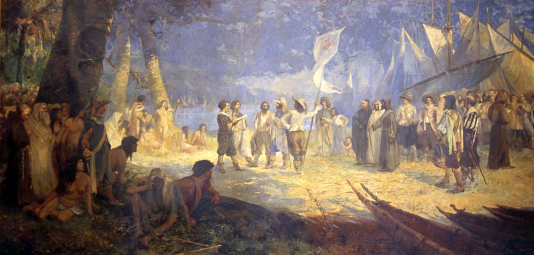
Barcarena is a Brazilian municipality in the state of Pará adjacent the Tocantins River. It has a population of 127,027 and is part of the Belém metropolitan area. The city's economy relies largely on agriculture and bauxite. There are also facilities for pig iron nearby. They city and port is developing as a major transshipping port that takes goods for international export linked by rail from nearby inland ports, from all over Brazil, speeding up shipment and reducing time and costs as opposed to traditional megaports in the Southeast. History The town was originally inhabited by the Aruá Indians. In 1709 Jesuits came. Shipping accident 2015 On October 6, 2015 the livestock vessel "MV Haidar" capsized in the Vila do Conde port due to an unsuccessful turning maneuver. It had 4,900 live cattle and almost 700 metric tonnes of oil on board. 4,400 cattle drowned while locked in the ship's cargo area. About 500 animals could free themselves, but only about 100 survived the ... [...More Info...] [...Related Items...] OR: [Wikipedia] [Google] [Baidu] |
Pará
Pará is a Federative units of Brazil, state of Brazil, located in northern Brazil and traversed by the lower Amazon River. It borders the Brazilian states of Amapá, Maranhão, Tocantins (state), Tocantins, Mato Grosso, Amazonas (Brazilian state), Amazonas and Roraima. To the northwest are the borders of Guyana and Suriname, to the northeast of Pará is the Atlantic Ocean. The capital and largest city is Belém, which is located at the mouth of the Amazon. The state, which is home to 4.1% of the Brazilian population, is responsible for just 2.2% of the Brazilian GDP. Pará is the most populous state of the North Region, Brazil, North Region, with a population of over 8.6 million, being the ninth-most populous state in Brazil. It is the second-largest state of Brazil in area, at , second only to Amazonas (Brazilian state), Amazonas upriver. Its most famous icons are the Amazon River and the Amazon Rainforest. Pará produces Natural rubber, rubber (extracted from natural rubber tree ... [...More Info...] [...Related Items...] OR: [Wikipedia] [Google] [Baidu] |
Municipal Corporation
A municipal corporation is the legal term for a local governing body, including (but not necessarily limited to) cities, counties, towns, townships, charter townships, villages, and boroughs. The term can also be used to describe municipally owned corporations. Municipal corporation as local self-government Municipal incorporation occurs when such municipalities become self-governing entities under the laws of the state or province in which they are located. Often, this event is marked by the award or declaration of a municipal charter. A city charter or town charter or municipal charter is a legal document establishing a municipality, such as a city or town. Canada In Canada, charters are granted by provincial authorities. India The Corporation of Chennai is the oldest Municipal Corporation in the world outside the United Kingdom. Ireland The title "corporation" was used in boroughs from soon after the Norman conquest until the Local Government Act 2001. Under the 20 ... [...More Info...] [...Related Items...] OR: [Wikipedia] [Google] [Baidu] |
Aroã Language
Aruán (Aroã) is an extinct Arawakan language of Brazil. Aikhenvald (1999) classifies it as a close relative of Palikur The Palikur are an indigenous people located in the riverine areas of the Brazilian state of Amapá and in French Guiana, particularly in the south-eastern border region, on the north bank of the Oyapock River. The Palikur Nation, or ''naoné'', .... References Arawakan languages Languages of Brazil {{Arawakan-lang-stub ... [...More Info...] [...Related Items...] OR: [Wikipedia] [Google] [Baidu] |
Inland Port
An inland port is a port on an inland waterway, such as a river, lake, or canal, which may or may not be connected to the sea. The term "inland port" is also used to refer to a dry port. Examples The United States Army Corps of Engineers publishes biannually a list of such locations and for this purpose states that "inland ports" are ports that are located on rivers and do not handle deep draft ship traffic. The list includes ports such as St. Louis, Cincinnati, Pittsburgh, Kansas City, and Memphis. A dense network of inland waterways including ports exists also in Europe (France, Germany, Poland, Russia, the United Kingdom and the Benelux countries), as well as in China and Brazil. List of inland waterway ports Africa * : Port of Boma, Boma, Democratic Republic of the Congo, Congo River * : Port of Ilebo, Ilebo, Democratic Republic of the Congo, Kasai River * : Port of Matadi, Matadi, Democratic Republic of the Congo, Congo River * : Port of Kinshasa, Kinshasa, De ... [...More Info...] [...Related Items...] OR: [Wikipedia] [Google] [Baidu] |
Pig Iron
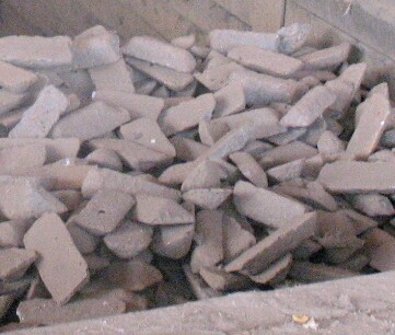
Pig iron, also known as crude iron, is an intermediate product of the iron industry in the production of steel which is obtained by smelting iron ore in a blast furnace. Pig iron has a high carbon content, typically 3.8–4.7%, along with silica and other constituents of dross, which makes it brittle and not useful directly as a material except for limited applications. The traditional shape of the molds used for pig iron ingots is a branching structure formed in sand, with many individual ingots at right angles to a central channel or "runner", resembling a litter of piglets being nursed by a sow. When the metal had cooled and hardened, the smaller ingots (the "pigs") were simply broken from the runner (the "sow"), hence the name "pig iron". As pig iron is intended for remelting, the uneven size of the ingots and the inclusion of small amounts of sand cause only insignificant problems considering the ease of casting and handling them. History Smelting and producing wroug ... [...More Info...] [...Related Items...] OR: [Wikipedia] [Google] [Baidu] |
Bauxite
Bauxite is a sedimentary rock with a relatively high aluminium content. It is the world's main source of aluminium and gallium. Bauxite consists mostly of the aluminium minerals gibbsite (Al(OH)3), boehmite (γ-AlO(OH)) and diaspore (α-AlO(OH)), mixed with the two iron oxides goethite (FeO(OH)) and haematite (Fe2O3), the aluminium clay mineral kaolinite (Al2Si2O5(OH)4) and small amounts of anatase (TiO2) and ilmenite (FeTiO3 or FeO.TiO2). Bauxite appears dull in luster and is reddish-brown, white, or tan. In 1821, the French geologist Pierre Berthier discovered bauxite near the village of Les Baux in Provence, southern France. Formation Numerous classification schemes have been proposed for bauxite but, , there was no consensus. Vadász (1951) distinguished lateritic bauxites (silicate bauxites) from karst bauxite ores (carbonate bauxites): * The carbonate bauxites occur predominantly in Europe, Guyana, Suriname, and Jamaica above carbonate rocks (limestone and do ... [...More Info...] [...Related Items...] OR: [Wikipedia] [Google] [Baidu] |
Belém
Belém (; Portuguese for Bethlehem; initially called Nossa Senhora de Belém do Grão-Pará, in English Our Lady of Bethlehem of Great Pará) often called Belém of Pará, is a Brazilian city, capital and largest city of the state of Pará in the country's north. It is the gateway to the Amazon River with a busy port, airport, and bus/coach station. Belém lies approximately 100 km upriver from the Atlantic Ocean, on the Pará River, which is part of the greater Amazon River system, separated from the larger part of the Amazon delta by ''Ilha de Marajó'' ( Marajo Island). With an estimated population of 1,499,641 people — or 2,491,052, considering its metropolitan area — it is the 11th most populous city in Brazil, as well as the 16th by economic relevance. It is the second largest in the North Region, second only to Manaus, in the state of Amazonas. Founded in 1616 by the Kingdom of Portugal, Belém was the first European colony on the Amazon but did not become ... [...More Info...] [...Related Items...] OR: [Wikipedia] [Google] [Baidu] |
Tocantins River
The Tocantins River ( pt, Rio Tocantins, link=no , , Parkatêjê dialect, Parkatêjê: ''Pyti'' [pɨˈti]) is a river in Brazil, the central fluvial artery of the country. In the Tupi language, its name means "toucan's beak" (''Tukã'' for "toucan" and ''Ti'' for "beak"). It runs from south to north for about 2,450 km. It is not really a branch of the Amazon River, since its waters flow into the Atlantic Ocean alongside those of the Amazon. It flows through four Brazilian states (Goiás, Tocantins, Maranhão and Pará) and gives its name to one of Brazil's newest states, formed in 1988 from what was until then the northern portion of Goiás. The Tocantins is one of the largest Clearwater river (river type), clearwater rivers in South America. Course It rises in the mountainous district known as the Pirineus State Park, Pireneus, west of the Federal District, but its western tributary, the Araguaia River, has its extreme southern headwaters on the slopes of the Serra dos Cai ... [...More Info...] [...Related Items...] OR: [Wikipedia] [Google] [Baidu] |
Municipalities Of Brazil
The municipalities of Brazil ( pt, municípios do Brasil) are administrative divisions of the states of Brazil, Brazilian states. Brazil currently has 5,570 municipalities, which, given the 2019 population estimate of 210,147,125, makes an average municipality population of 37,728 inhabitants. The average state in Brazil has 214 municipalities. Roraima is the least subdivided state, with 15 municipalities, while Minas Gerais is the most subdivided state, with 853. The Federal District (Brazil), Federal District cannot be divided into Municipality, municipalities, which is why its territory is composed of several Administrative regions of the Federal District (Brazil), administrative regions. These regions are directly managed by the government of the Federal District, which exercises constitutional and legal powers that are equivalent to those of the Federated state, states, as well as those of the Municipality, municipalities, thus simultaneously assuming all the obligations a ... [...More Info...] [...Related Items...] OR: [Wikipedia] [Google] [Baidu] |
List Of Dialling Codes In Brazil
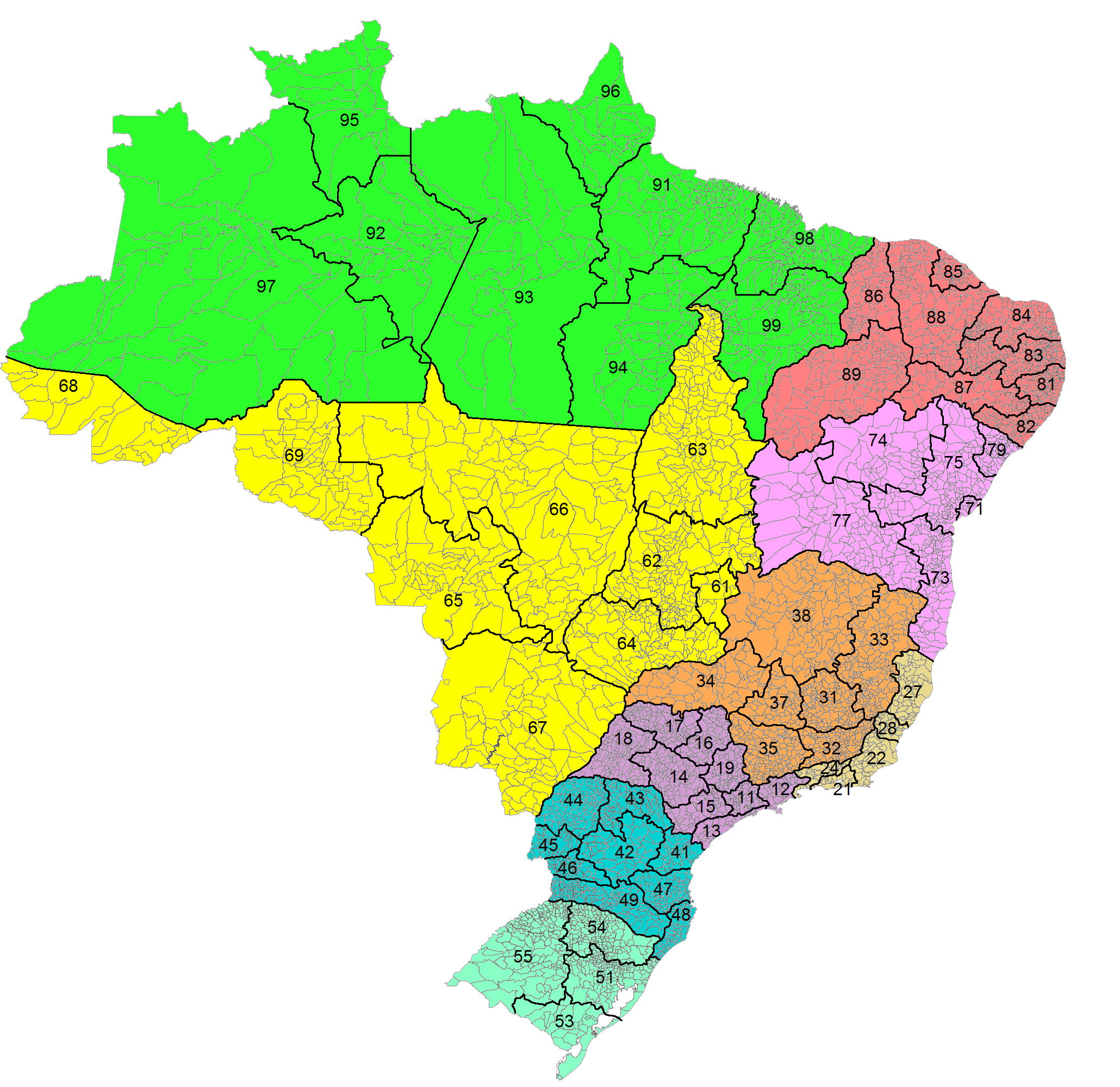
Country Code: +55 International Call Prefix: 00 then Carrier Code Trunk Prefix: 0 then Carrier Code This article contains a list of area codes in Brazil for telephone dialing. The area codes are distributed geographically, citing the main cities in each area. Local phone numbers in Brazil observe an eight-digit pattern (''nnnn-nnnn'') for landlines and nine digits (''nnnnn-nnnn'') for mobile phones. Mobile numbers share the same geographic area codes as landlines, but the first digit differentiates them. Landline numbers start with digits ''2'' through ''5''. Initial digits ''6'' through ''9'' are reserved for mobile numbers, but as of 2017 all mobile numbers in Brazil start with the digit ''9''. (There is an exception for some iDEN mobile lines operated by Nextel, which are eight digits long and start with ''7'' and disestablished in 2018.) Area codes have two digits, and are often notated between parentheses: ''(aa) nnnn-nnnn''. For long-distance calls within Brazil, a zero ... [...More Info...] [...Related Items...] OR: [Wikipedia] [Google] [Baidu] |
Código De Endereçamento Postal
''Código de Endereçamento Postal'' (Postal Addressing Code) is the Brazilian postal code system commonly known as CEP. Introduced in 1972 as a sequence of five digits, it was expanded to eight digits in 1992 to allow for more precise localization. The standard format is "nnnnn-nnn" (the original five digits, a hyphen, and the new three digits). Most cities with population around 100,000 and above have a CEP assigned to every public place and to some high-occupancy private spaces, like major commercial buildings and large residential condos. Small towns are assigned a general 5-digit code followed by the suffix -000. The complete postal code database, known as DNE, contains more than 900,000 codes (including streets, neighborhoods, cities and Federated state names). Initially it was freely available at the Brazilian post office website, but after receiving various enhancements it is now a paid service callee-DNE It comprises: * Official names of all streets in all the capital ci ... [...More Info...] [...Related Items...] OR: [Wikipedia] [Google] [Baidu] |
Time In Brazil
Time in Brazil is calculated using standard time, and the country (including its offshore islands) is divided into four standard time zones: UTC−02:00, UTC−03:00, UTC−04:00 and UTC−05:00. Time zones Fernando de Noronha time (UTC−02:00) This is the standard time zone only on a few small offshore Atlantic islands. The only such island with a permanent population is Fernando de Noronha, with 3,140 inhabitants (2021 estimate), 0.0015% of Brazil's population.Population estimates Brazilian Institute of Geography and Statistics, 2021. The other islands ( |


