|
Bangli
Bangli Regency is the one and only landlocked regency ('' kabupaten'') of Bali, Indonesia. It covers an area of 520.81 km2 and had a population of 215,353 at the 2010 Census and 258,721 at the 2020 Census. Its regency seat is the town of Bangli. Up until 1907, Bangli was one of the nine kingdoms of Bali. The capital has a famous Hindu temple, the Pura Kehen, which dates from the 11th century. Bangli also has one village, lies surround a hill, Demulih. Geography The northern part of the district includes the main road to the north coast passing through Kintamani and around the crater in which Gunung Batur sits. From the Demulih hill, Bali Island, particularly its southern part can be seen – Kuta, Nusa Dua, Gianyar and a part of Klungkung. Bangli is the only regency in Bali which is landlocked. Administrative districts The Regency is divided into four districts (''kecamatan''), listed below from south to north with their areas and their populations at the 2010 Census ... [...More Info...] [...Related Items...] OR: [Wikipedia] [Google] [Baidu] |
Pura Kehen
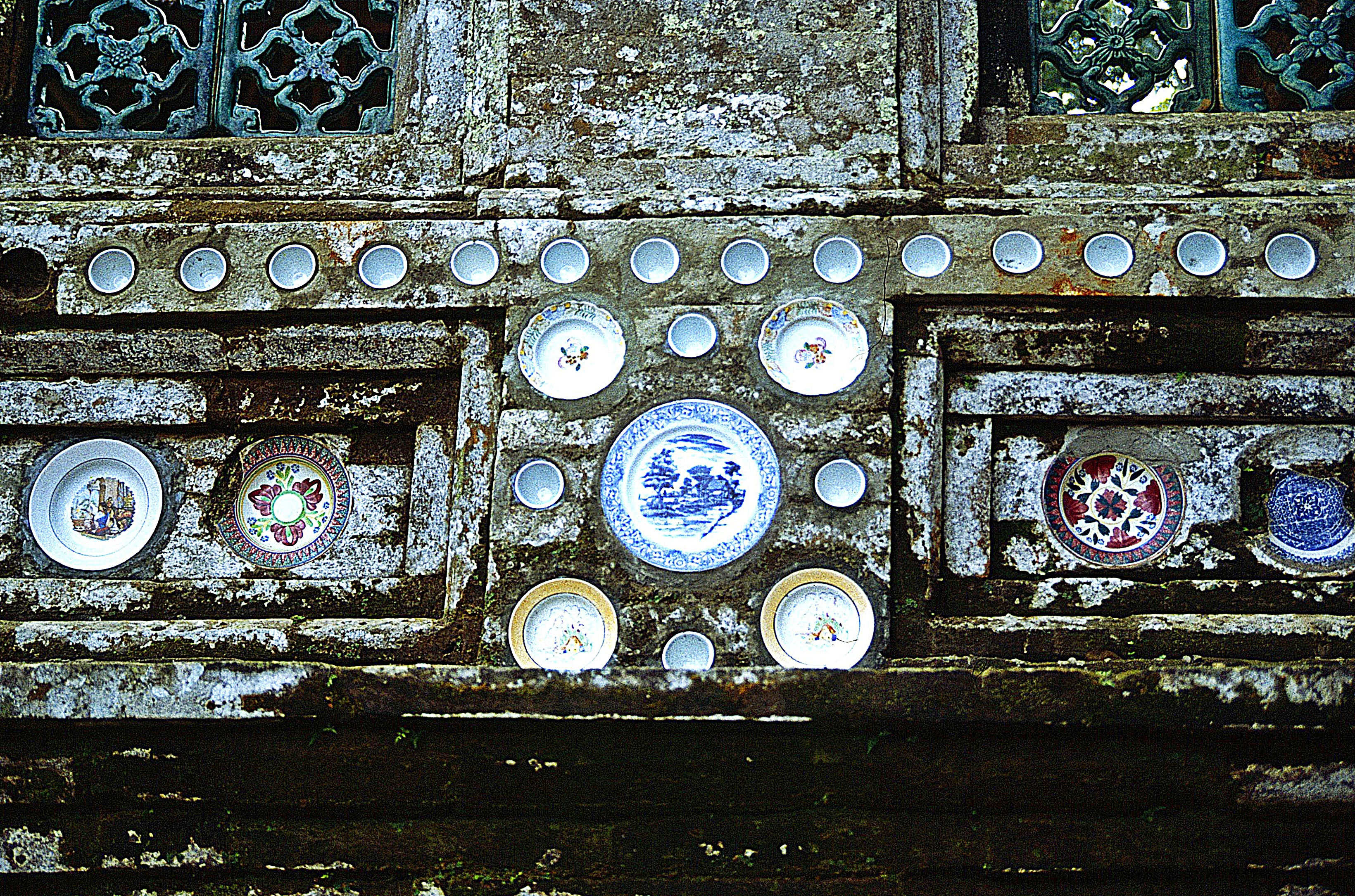
Pura Kehen is a Balinese Hindu temple located in Cempaga, Bangli Regency, Bali. The temple is set on the foot of a wooded hill, about north of the town center. Established at least in the 13th-century, Pura Kehen was the royal temple of the Bangli Kingdom, now the Regency of Bangli. History Pura Kehen was the main temple of the Bangli Regency. Bangli Regency was formerly the center of a kingdom known under the same name. The Bangli Kingdom was one of the nine kingdoms of Bali. The name Bangli derives from ''bang giri'', meaning "red forest" or "red mountain". The Regency of Bangli was founded by the Gelgel Kingdom of the Majapahit dynasty. Pura Kehen was mentioned three times in three copper inscriptions dated from the late 9th century, the early 11th century, and the 13th century. The copper inscriptions mentioned the temple under different names. In the late 9th-century inscription, the temple was mentioned as Hyang Api ("god of fire) by the Brahmans who maintain the te ... [...More Info...] [...Related Items...] OR: [Wikipedia] [Google] [Baidu] |
Bangli
Bangli Regency is the one and only landlocked regency ('' kabupaten'') of Bali, Indonesia. It covers an area of 520.81 km2 and had a population of 215,353 at the 2010 Census and 258,721 at the 2020 Census. Its regency seat is the town of Bangli. Up until 1907, Bangli was one of the nine kingdoms of Bali. The capital has a famous Hindu temple, the Pura Kehen, which dates from the 11th century. Bangli also has one village, lies surround a hill, Demulih. Geography The northern part of the district includes the main road to the north coast passing through Kintamani and around the crater in which Gunung Batur sits. From the Demulih hill, Bali Island, particularly its southern part can be seen – Kuta, Nusa Dua, Gianyar and a part of Klungkung. Bangli is the only regency in Bali which is landlocked. Administrative districts The Regency is divided into four districts (''kecamatan''), listed below from south to north with their areas and their populations at the 2010 Census ... [...More Info...] [...Related Items...] OR: [Wikipedia] [Google] [Baidu] |
List Of Regencies And Cities Of Indonesia
Regencies (''kabupaten'') and cities (''kota'') are the second-level administrative subdivision in Indonesia, immediately below the provinces, and above the districts. Regencies are roughly equivalent to American counties, although most cities in the United States are below the counties. Following the implementation of decentralization beginning on 1 January 2001, regencies and city municipalities became the key administrative units responsible for providing most governmental services. Each of regencies and cities has their own local government and legislative body. The difference between a regency and a city lies in demography, size, and economy. Generally, a regency comprises a rural area larger than a city, but also often includes various towns. A city usually has non-agricultural economic activities. A regency is headed by a regent (''bupati''), while a city is headed by a mayor (''wali kota''). All regents, mayors, and members of legislatures are directly elected via ele ... [...More Info...] [...Related Items...] OR: [Wikipedia] [Google] [Baidu] |
Gunung Batur
Mount Batur ''(Gunung Batur)'' is an active volcano located at the center of two concentric calderas north west of Mount Agung on the island of Bali, Indonesia. The south east side of the larger 10×13 km caldera contains a caldera lake. Both the larger caldera, and a smaller 7.5 km caldera were formed by a collapse of the magma chamber, the first larger collapse taking place about 29,300 years ago, and the second inner caldera collapsing about 20,150 years ago. Another estimate of the inner caldera's formation date, formed during emplacement of the Bali (or Ubud) ignimbrite, has been dated at about 23,670 and 28,500 years ago. The first documented eruption was in 1804 and the most recent was in 2000. Active volcano and Lake Batur in the caldera The eruption that brought this volcano to be visible above the ocean is one of the most forceful across the Earth. This volcano is marked by a collapsed top, called a caldera. The southeast wall of the inner caldera lies bene ... [...More Info...] [...Related Items...] OR: [Wikipedia] [Google] [Baidu] |
Kintamani, Bali
Kintamani is a district (kecamatan), and a village within that district, on the western edge of the larger caldera wall of the Mount Batur (''Gunung Batur'') caldera in Bali, Indonesia. It is on the same north–south road as Penelokan and has been used as a stopping place to view the Mount Batur region. Kintamani is also known for Pura Tuluk Biyu's 1,000-year-old "Rites of Peace" stone tablets and the Kintamani dog breed. It is situated next to Mount Batur. Kintamani District covers a greater land area than the city of Denpasar Denpasar (; Balinese script, Balinese: ᬤᬾᬦ᭄ᬧᬲᬃ) is the capital of Bali and the main gateway to the island. The city is also a hub for other cities in the Lesser Sunda Islands. With the rapid growth of the tourism industry in Bali ... at 366.9 km2, and it was home to 112,463 people at the 2020 Census,Badan Pusat Statistik, Jakarta, 2021. but the area is rural, with only 7,402 people in 2010 in the administrative village of 19.45 km2 whi ... [...More Info...] [...Related Items...] OR: [Wikipedia] [Google] [Baidu] |
Bali
Bali () is a province of Indonesia and the westernmost of the Lesser Sunda Islands. East of Java and west of Lombok, the province includes the island of Bali and a few smaller neighbouring islands, notably Nusa Penida, Nusa Lembongan, and Nusa Ceningan to the southeast. The provincial capital, Denpasar, is the most populous city in the Lesser Sunda Islands and the second-largest, after Makassar, in Eastern Indonesia. The upland town of Ubud in Greater Denpasar is considered Bali's cultural centre. The province is Indonesia's main tourist destination, with a significant rise in tourism since the 1980s. Tourism-related business makes up 80% of its economy. Bali is the only Hindu-majority province in Indonesia, with 86.9% of the population adhering to Balinese Hinduism. It is renowned for its highly developed arts, including traditional and modern dance, sculpture, painting, leather, metalworking, and music. The Indonesian International Film Festival is held every year in Bal ... [...More Info...] [...Related Items...] OR: [Wikipedia] [Google] [Baidu] |
Telephone Numbers In Indonesia
Telephone numbers in Indonesia have different systems for land lines and mobile phones: land lines use area codes, while mobile phones do not. For land line area codes, the digit "0" is added in front when dialing domestic long distance from within Indonesia, but is always omitted when calling from abroad. Instead, callers would use the Indonesian country code +62, followed by the area code, without the "0". Domestic phone numbers in large cities have 8 digits, and in other areas 7 digits. Mobile phone numbers have a total of 10 to 12 digits for postpaid depending on the operator, whereas prepaid services get 11 to 13 digits determined by the operator. Until October 1999, East Timor was included in the Indonesian telephone numbering plan, using the area codes 0390 (for Dili) and 0399 (for Baucau). To make a phone call to Indonesia from abroad, the following formats are used: For calls to landlines, callers dial +62, followed by the area code and subscriber's number, omitting th ... [...More Info...] [...Related Items...] OR: [Wikipedia] [Google] [Baidu] |
Mengwi
Mengwi is a district (''kecamatan'') in the Badung Regency, Bali, Indonesia and also covers Bali's heaviest tourist regions, situated to the north of Kuta District and North Kuta District (including Seminyak Seminyak is a mixed tourist residential area on the west coast of Bali in Indonesia, just north of Kuta and Legian Legian is a suburban and beach area on the west coast of Bali in Indonesia, just north of Kuta and south of Seminyak, the area be ...), and including Canggu. It covers an area of 82.0 km2 and had a population of 122,829 at the 2010 Census and 132,786 at the 2020 Census.Badan Pusat Statistik, Jakarta, 2021. The Mengwi village itself is located almost halfway between Ubud and Bali’s southwest coast, located just slightly closer to Ubud. The majority of visitors to the village have come from more tourist-centric areas of the island are just passing through for a chance to experience a traditional Balinese village. References Populated places in Bali ... [...More Info...] [...Related Items...] OR: [Wikipedia] [Google] [Baidu] |
Nusa Dua
Nusa Dua is a resort area built in the 1970s in the southern part of Bali, Indonesia. Known as an enclave of large five-star resorts, it covers 350 hectares of land and encloses more than 20 resorts. It is located 22 kilometers from Denpasar, the provincial capital of Bali, and is administered under South Kuta District, Badung Regency. Nusa Dua means ''two islands'' (''nusa'' 'island', ''dua'' 'two'), because there are two islands in the bay of Bali Tourism Development Corporation area. On the southern side lies Peninsula Island, and on the northern side lies Nusa Dharma Island, which is smaller but shadier, and which contains the Pura/Temple Nusa Dharma. Geger Beach Geger Beach is located in Sawangan, about 3 kilometers from the southern area of Nusa Dua. The sea there is calm, which allows farmers to grow seaweed in the area, as well as being an attractive place for tourists to swim. Water Blow Water Blow is located in the Indonesia Tourism & Development Corporation (ITDC) di ... [...More Info...] [...Related Items...] OR: [Wikipedia] [Google] [Baidu] |
Kuta
Kuta is a tourist area, administratively an urban village (''kelurahan''), and the capital of Kuta District, Badung Regency, southern Bali, Indonesia. A former fishing village, it was one of the first towns on Bali to see substantial tourist development, and as a beach resort remains one of Indonesia's major tourist destinations. It is known internationally for its long sandy beach, varied accommodation, many restaurants and bars, and many renowned surfers who visit from Australia. It is located near Bali's Ngurah Rai Airport. The Balinese Provincial Government have taken the view that the preservation of the Balinese culture, natural resources and wildlife are of primary importance in the development of the island. To this end they have limited tourist development to the peninsula on the extreme southern aspect of the island; Kuta beach is on the western side of this peninsula and Sanur is on the east. To the north of the peninsula no new tourist development is supposedly perm ... [...More Info...] [...Related Items...] OR: [Wikipedia] [Google] [Baidu] |


