|
Bangabari Union
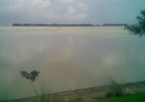
Bangabari Union ( bn, বাঙ্গাবাড়ী ইউনিয়ন) is one of the nine union parishod of Gomostapur Upazila in Bangladesh. It has an area of 14.70 km2 and a population at the 2011 Census of 30,288 (preliminary figures). Bangabari Union consists of 19 villages. It has an excellent road communication infrastructure. The union porishod office of Bangabari Union is only three-four hours road journey away from Rajshahi Division, the divisional city. Geography The famous Mohannad river borders Bangabari Union on the south and in the West. Bangabari Union shares a border with India. Infrastructure Communications Bangabari Union is served by major cellular networks. Phones are available for making calls. Internet services are available, though the data bandwidth is poor. Health facilities There is a small public health facility in the village with a doctor and first aid support. Education Bangabari Union has a low literacy rate, estimated at 49% in 2013 ... [...More Info...] [...Related Items...] OR: [Wikipedia] [Google] [Baidu] |
Rajshahi Division
Rajshahi Division ( bn, রাজশাহী বিভাগ) is one of the eight first-level administrative divisions of Bangladesh. It has an area of and a population at the 2011 Census of 18,484,858. Rajshahi Division consists of 8 districts, 70 Upazilas (the next lower administrative tier) and 1,092 Unions (the lowest administrative tier). The region has historically been dominated by various feudal Rajas, Maharajas and Zamindars. Formerly comprising 16 districts, a new division (Rangpur Division) was formed with the 8 northern districts of the old Rajshahi Division from early 2010. Etymology and names The Rajshahi Division is named after Rajshahi District. Dominated by various feudal Rajas, Maharajas and Zamindars of mixed origins throughout history, the name is a compound of the words ''Raj'' and ''Shahi'', both of which can be translated into reign or kingdom. Archaic spellings in the English language also included ''Rajeshae''. The capital city of the division was for ... [...More Info...] [...Related Items...] OR: [Wikipedia] [Google] [Baidu] |
Chapai Nawabganj District
Chapainawabganj (Bengali: চাঁপাইনবাবগঞ্জ) is located in the north-western part of Bangladesh. It is a part of the Rajshahi Division, and was formerly a sub-division of Malda district. The north and west part of Chapai Nawabganj is bounded by Malda and Murshidabad districts of India, the east by Naogaon District, and south-east by Rajshahi District. History Chapainawabganj was one of the sub-divisions of the former Rajshahi zilla. Chapai Nawabganj was part of ancient Gour capital. It is said that this area had strategic and commercial importance due to its location at the junction of the rivers Mahananda and the Ganges. Because of its importance, Alivardi Khan founded Nowabganj town which in course of time known as Nawabganj. Until 1947, Nawabganj was a thana under Malda district, India. The gateway of North Bengal, Malda was once the capital of Gour-Banga, with 3456 km2 of land classified as Tal, Diara, and Barind. Malda awaits the advent o ... [...More Info...] [...Related Items...] OR: [Wikipedia] [Google] [Baidu] |


