|
Ballone Castle
Ballone Castle was built in the 16th century. It was unoccupied for a couple of centuries and fell into ruin. In the 1990s it was purchased and restored by an architect. The original castle was built on a Z-plan and is unusual in having one round tower and one rectangular tower. Situated north of Rockfield on the east coast of the parish of Tarbat, Ballone castle, which was also known as Tarbat castle, was reputedly built by the Earls of Ross, but came into possession of the family of Viscount Tarbat and the Earl of Cromartie. John Mackenzie, who was created baronet of Tarbat in the County of Ross in 1628, died there in 1654. The building is a Z-plan castle with a square tower on the south west and a circular drum-tower on the north east.New Statistical Account The ''Statistical Accounts of Scotland'' are a series of documentary publications, related in subject matter though published at different times, covering life in Scotland in the 18th, 19th and 20th centuries. The ''O ... [...More Info...] [...Related Items...] OR: [Wikipedia] [Google] [Baidu] |
Highland (council Area)
Highland ( gd, A' Ghàidhealtachd, ; sco, Hieland) is a council area in the Scottish Highlands and is the largest local government area in the United Kingdom. It was the 7th most populous council area in Scotland at the 2011 census. It shares borders with the council areas of Aberdeenshire, Argyll and Bute, Moray and Perth and Kinross. Their councils, and those of Angus and Stirling, also have areas of the Scottish Highlands within their administrative boundaries. The Highland area covers most of the mainland and inner-Hebridean parts of the historic counties of Inverness-shire and Ross and Cromarty, all of Caithness, Nairnshire and Sutherland and small parts of Argyll and Moray. Despite its name, the area does not cover the entire Scottish Highlands. Name Unlike the other council areas of Scotland, the name ''Highland'' is often not used as a proper noun. The council's website only sometimes refers to the area as being ''Highland'', and other times as being ''the Hig ... [...More Info...] [...Related Items...] OR: [Wikipedia] [Google] [Baidu] |
Tarbat
Tarbat (Gaelic , meaning 'a crossing or isthmus'Place-names of Ross and Cromarty, by W J Watson, publ. The Northern Counties Printing and Publishing Co. Ltd., Inverness 1904; p.45) is a civil parish in Highland, Scotland, in the north-east corner of Ross and Cromarty. The parish is a promontory between Dornoch Firth to the north-west and Moray Firth to the east, while to the south it borders the parish of Fearn.Ordnance Gazetteer of Scotland: A survey of Scottish Topography statistical biographical and historical, by Francis H. Groome; publ. Thomas C. Jack, Edinburgh, 1882 - 1885. (Article on Tarbat) The peninsula is relatively flat, the highest point being the hill adjacent to Geanies House which reaches , on the southern border of the parish.Historic Environment Scotland Portal website (Article on Geanies House) portal.historicenvironment.scot/designation/GDL00217 Retrieved April 2021Ordnance Survey series 1 in. to 1 mile Sheet 22 - Dornoch, Publ. 1965 The coast along the D ... [...More Info...] [...Related Items...] OR: [Wikipedia] [Google] [Baidu] |
Ross And Cromarty
Ross and Cromarty ( gd, Ros agus Cromba), sometimes referred to as Ross-shire and Cromartyshire, is a variously defined area in the Highlands and Islands of Scotland. There is a registration county and a lieutenancy area in current use, the latter of which is in extent. Historically there has also been a constituency of the Parliament of the United Kingdom (1832 to 1983), a local government county (1890 to 1975), a district of the Highland local government region (1975 to 1996) and a management area of the Highland Council (1996 to 2007). The local government county is now divided between two local government areas: the Highland area and Na h-Eileanan Siar (the Western Isles). Ross and Cromarty border Sutherland to the north and Inverness-shire to the south. The county was formed by the uniting of the shires of Ross-shire and Cromartyshire. Both these shires had themselves been formed from the historic province of Ross, out of which the many enclaves and exclaves that forme ... [...More Info...] [...Related Items...] OR: [Wikipedia] [Google] [Baidu] |
Tain
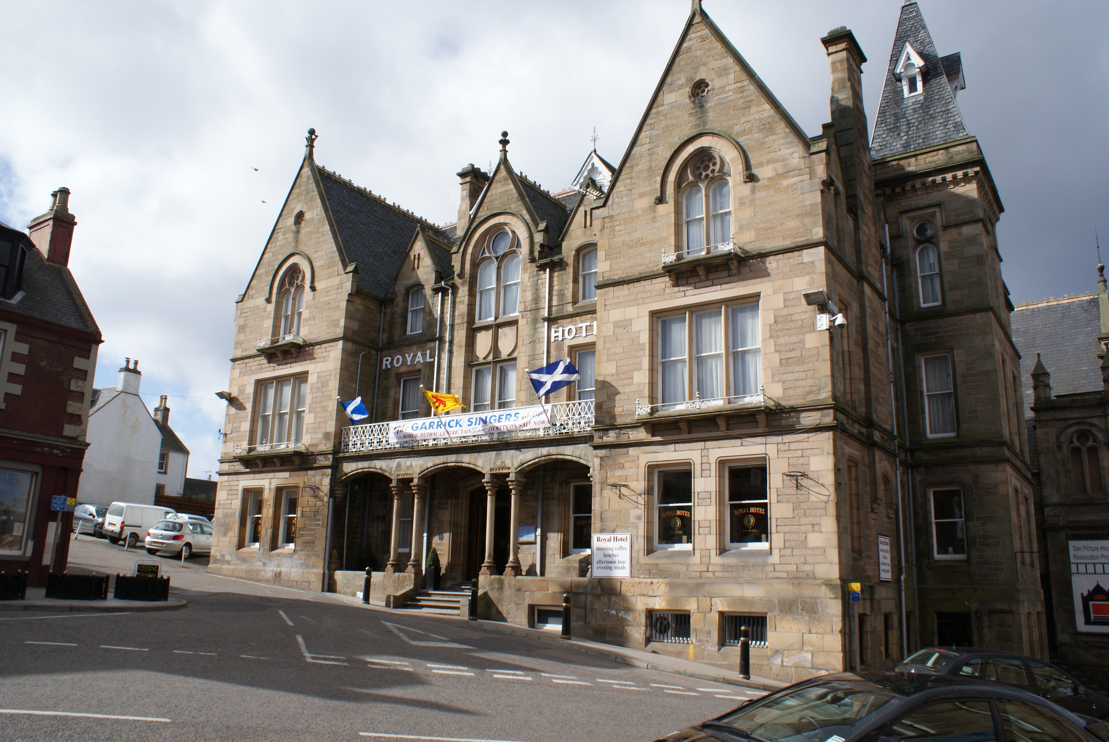
Tain ( Gaelic: ''Baile Dhubhthaich'') is a royal burgh and parish in the County of Ross, in the Highlands of Scotland. Etymology The name derives from the nearby River Tain, the name of which comes from an Indo-European root meaning 'flow'. The Gaelic name, ''Baile Dubhthaich'', means 'Duthac's town', after a local saint also known as Duthus. History Tain was granted its first royal charter in 1066, making it Scotland's oldest royal burgh, commemorated in 1966 with the opening of the Rose Garden by Queen Elizabeth, the Queen Mother. The 1066 charter, granted by King Malcolm III, confirmed Tain as a sanctuary, where people could claim the protection of the church, and an immunity, in which resident merchants and traders were exempt from certain taxes. Little is known of earlier history although the town owed much of its importance to Duthac. He was an early Christian figure, perhaps 8th or 9th century, whose shrine had become so important by 1066 that it resulted in the royal ch ... [...More Info...] [...Related Items...] OR: [Wikipedia] [Google] [Baidu] |
Z-plan Castle
Z-plan is a form of castle design common in England and Scotland. The Z-plan castle has a strong central rectangular tower with smaller towers attached at diagonally opposite corners. Prominent examples of the Z-plan include Brodie Castle in Moray, Castle Menzies in Perthshire, Glenbuchat Castle in Aberdeenshire, Castle Fraser in Aberdeenshire, Claypotts Castle in Dundee and Hatton Castle, Angus, Scotland. See also *L-plan castle An L-plan castle is a castle or tower house in the shape of an L, typically built from the 13th to the 17th century. This design is found quite frequently in Scotland, but is also seen in England, Ireland, Romania, Sardinia, and other locations ... References Castles by type {{fort-type-stub ... [...More Info...] [...Related Items...] OR: [Wikipedia] [Google] [Baidu] |
Rockfield, Highland
Rockfield ( gd, Creag Tarail Bhig) is a hamlet in the parish of Tarbat, on the Tarbat Peninsula, near the village of Portmahomack, Easter Ross, Highland, Scotland. There is a small stone jetty and the traditional way of life included fishing and agriculture. Rockfield is generally east-facing, below the level of a raised beach. Coastal Walks Rockfield is a good place to start or finish a coastal walk. In a south-south-west direction you can walk from Rockfield to the Seaboard Village of Balintore. In a north-north-east direction you can walk from Rockfield to Tarbat Ness, round the headland and return to Portmahomack on the other side of the peninsula. Rockfield to Balintore This walk places the Moray Firth on your left with the opportunity to observe dolphins and occasional whales. The distance is reported as 8.5 km with modest changes in elevation. Rockfield to Tarbat Ness and on to Portmahomack This walk may be broken into two halves. The first half, from Roc ... [...More Info...] [...Related Items...] OR: [Wikipedia] [Google] [Baidu] |
Baronet
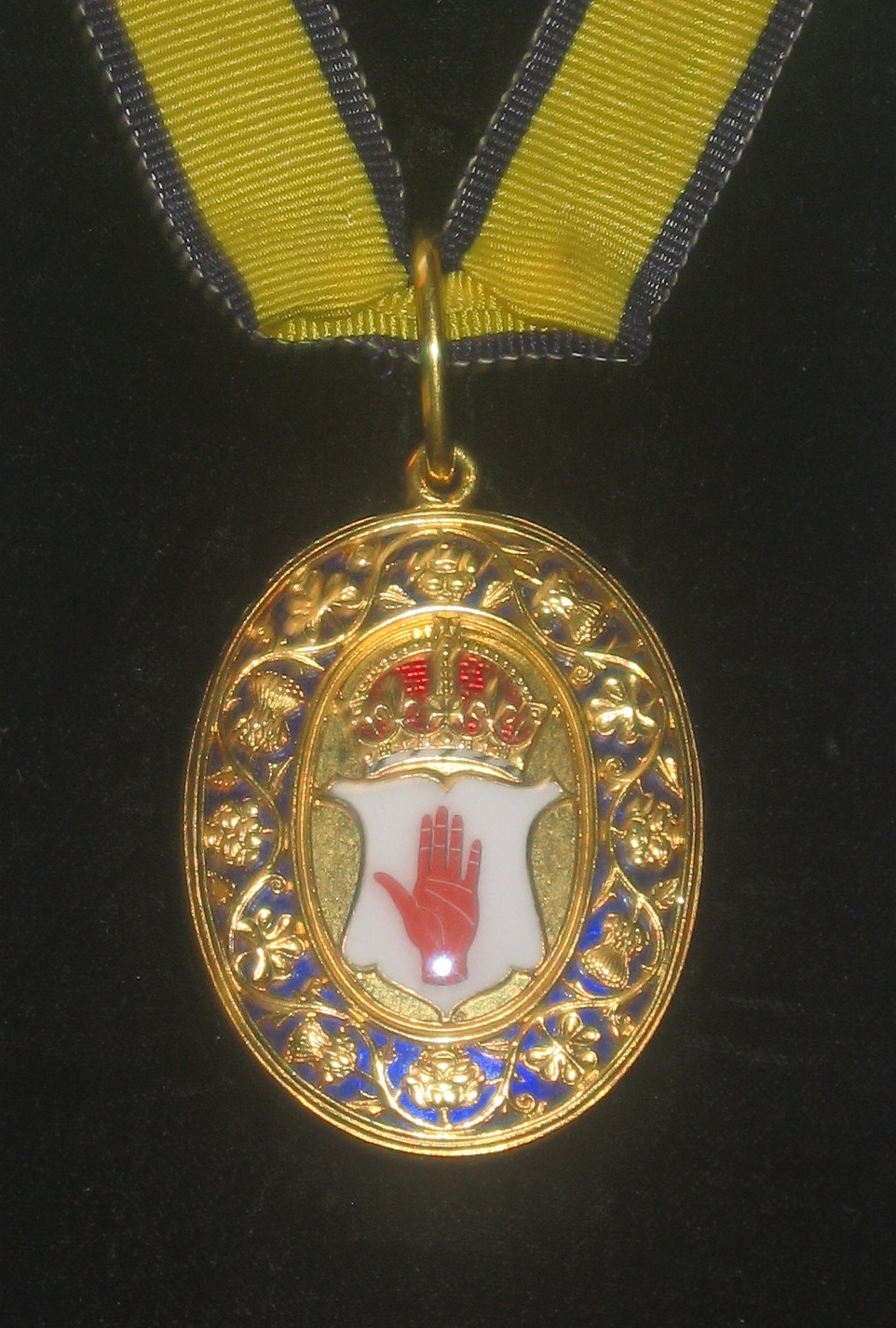
A baronet ( or ; abbreviated Bart or Bt) or the female equivalent, a baronetess (, , or ; abbreviation Btss), is the holder of a baronetcy, a hereditary title awarded by the British Crown. The title of baronet is mentioned as early as the 14th century, however in its current usage was created by James VI and I, James I of England in 1611 as a means of raising funds for the crown. A baronetcy is the only British Hereditary title, hereditary honour that is not a peerages in the United Kingdom, peerage, with the exception of the Anglo-Irish Knight of Glin, Black Knights, White Knight (Fitzgibbon family), White Knights, and Knight of Kerry, Green Knights (of whom only the Green Knights are extant). A baronet is addressed as "Sir" (just as is a knight) or "Dame" in the case of a baronetess, but ranks above all knighthoods and damehoods in the Orders of precedence in the United Kingdom, order of precedence, except for the Order of the Garter, the Order of the Thistle, and the dormant ... [...More Info...] [...Related Items...] OR: [Wikipedia] [Google] [Baidu] |
Statistical Accounts Of Scotland
The ''Statistical Accounts of Scotland'' are a series of documentary publications, related in subject matter though published at different times, covering life in Scotland in the 18th, 19th and 20th centuries. The ''Old (or First) Statistical Account of Scotland'' was published between 1791 and 1799 by Sir John Sinclair of Ulbster. The ''New (or Second) Statistical Account of Scotland'' published under the auspices of the General Assembly of the Church of Scotland between 1834 and 1845. These first two Statistical Accounts of Scotland are among the finest European contemporary records of life during the agricultural and industrial revolutions. A ''Third Statistical Account of Scotland'' was published between 1951 and 1992. Early attempts Attempts at getting an accurate picture of the geography, people and economy of Scotland had been attempted in the 1620s and 1630s, using the network of about 900 ministers of the established Church of Scotland. The time and resources invo ... [...More Info...] [...Related Items...] OR: [Wikipedia] [Google] [Baidu] |
Tarbat House
Tarbat House is a Category A listed building in the Highland council area of northern Scotland. A three-story stone mansion in the neoclassical style, it was built in 1787 by the Edinburgh architect James McLeran for John Mackenzie, Lord MacLeod. The house is located approximately 500m from the village of Milton near Invergordon. History Tarbat House was erected on the site of a previous mansion which had been built for George Mackenzie, 1st Earl of Cromartie in the late 17th century on the grounds of the demolished Milntown Castle. When George Mackenzie had bought the Milntown estate in 1656, he renamed it New Tarbat after Tarbat Castle, the family's original seat in Tarbat Tarbat (Gaelic , meaning 'a crossing or isthmus'Place-names of Ross and Cromarty, by W J Watson, publ. The Northern Counties Printing and Publishing Co. Ltd., Inverness 1904; p.45) is a civil parish in Highland, Scotland, in the north-east corner .... Some of the remains of George Mackenzie's mansio ... [...More Info...] [...Related Items...] OR: [Wikipedia] [Google] [Baidu] |
Kilmuir, Easter Ross
Kilmuir is a former fishing village, located on the north eastern shore of Nigg Bay, southeast of Kildary and northeast of Invergordon. Geography The village of Kilmuir is within the former parish of Kilmuir Easter. The parish was situated partly in the county of Ross-shire and partly in the county of Cromartyshire. At the last census (2011), the population of the civil parish was 1100.Census of Scotland 2011, Table KS101SC – Usually Resident Population, publ. by National Records of Scotland, web site www.scotlandscensus.gov.uk - See "Standard Outputs", Table KS101SC, Area type: Civil Parish Retrieved April 2021. The area of the parish is 11,008 acres.Census of Scotland 1931. Preliminary Report. Table 17 - Population and Acreage of Civil Parishes alphabetically arranged. Publ. H.M.S.O. 1931 History A document dated 30 January 1747 records six men aged over 16 who lived in the village of Kilmuir (Kilmuire), in the parish of Kilmuir-Easter, Ross-shire who did not take part ... [...More Info...] [...Related Items...] OR: [Wikipedia] [Google] [Baidu] |

.jpg)


