|
Bagnes
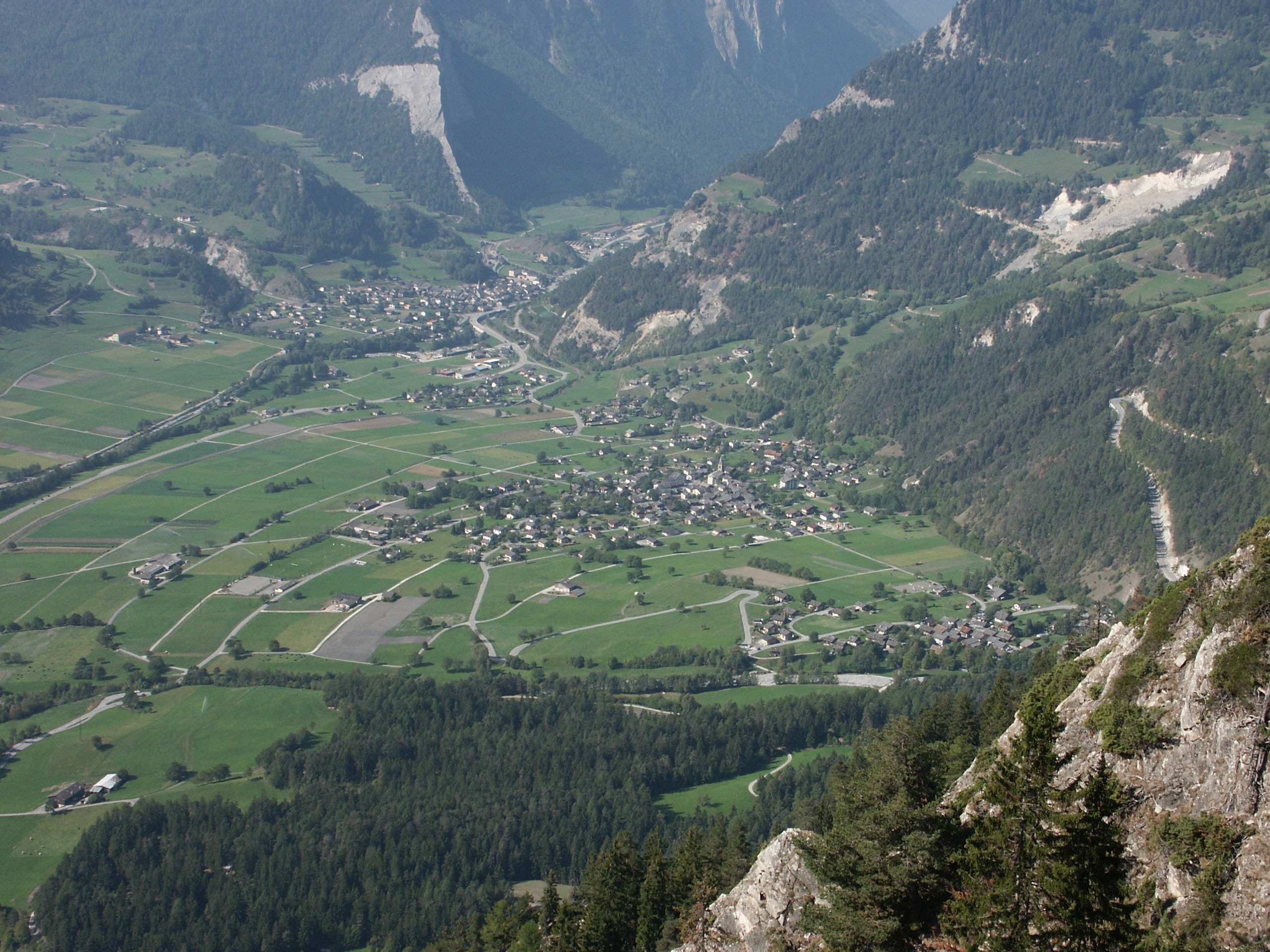
Bagnes is a former municipality in the district of Entremont in the canton of Valais in Switzerland. On 1 January 2021 the former municipalities of Bagnes and Vollèges merged to form the new municipality of Val de Bagnes. With an area of , Bagnes used to be the largest municipality of Switzerland until the formation of Glarus Süd in 2011. History Bagnes was first mentioned in 1150 as ''Banie''. It was formerly known by its German name, ''Bangis'', although this is no longer used. Before 1150, when it came to the abbey of Saint-Maurice, Bagnes was owned by the Counts of Savoy. It remained under the abbey's authority until 1798, when it became part of the Entremont district. Verbier castle (also called the ''abbaye'') is first mentioned in 1287 in Le Châble and was presumably destroyed in 1476. Throughout the 19th century, the radicals and conservatives feuded violently in the villages. This led, in 1844, to the bloody battle of Corberaye, in which three conservativ ... [...More Info...] [...Related Items...] OR: [Wikipedia] [Google] [Baidu] |
Val De Bagnes, Switzerland
Val de Bagnes is a municipality in the district of Entremont in the canton of Valais in Switzerland. It is named after the eponymous Val de Bagnes. History On 1 January 2021, the existing political communes of Bagnes and Vollèges merged to form the new political commune of Val de Bagnes. Bagnes Bagnes was first mentioned in 1150 as ''Banie''. It was formerly known by its German name, ''Bangis'', although this is no longer used. Before 1150, when it came to the abbey of Saint-Maurice, Bagnes was owned by the Counts of Savoy. It remained under the abbey's authority until 1798, when it became part of the Entremont district. Verbier castle (also called the ''abbaye'') is first mentioned in 1287 in Le Châble and was presumably destroyed in 1476. Throughout the 19th century, the radicals and conservatives feuded violently in the villages. This led, in 1844, to the bloody battle of Corberaye, in which three conservatives were killed. The battle of Corberaye brought the radic ... [...More Info...] [...Related Items...] OR: [Wikipedia] [Google] [Baidu] |
Fionnay
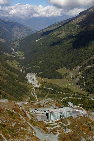
Fionnay is a village in the Swiss Alps, located in the canton of Valais. The village is situated in the western part of the canton, in the valley of Bagnes, south-east of Martigny. It is part of the municipality of Val de Bagnes. Fionnay lies at a height of 1,490 metres above sea level and is the last important settlement of the valley. The village is located at the foot of the Corbassière Glacier of the Grand Combin massif. References *Swisstopo Swisstopo is the official name for the Swiss Federal Office of Topography (in German: ''Bundesamt für Landestopografie''; French: ''Office fédéral de topographie''; Italian: ''Ufficio federale di topografia''; Romansh: ''Uffizi federal ... topographic maps External linksFionnay on Bagnes.ch (official website Villages in Valais Bagnes {{Valais-geo-stub ... [...More Info...] [...Related Items...] OR: [Wikipedia] [Google] [Baidu] |
Verbier
Verbier is a village located in south-western Switzerland in the canton of Valais. It is a holiday resort and ski area in the Swiss Alps and is recognised as one of the premier off-piste resorts in the world. Some areas are covered with snow all year. Skiers have settled in the Verbier area in order to take advantage of the steep slopes, varied conditions, and resort culture. Geography Verbier is located in the municipality of Val de Bagnes in the Swiss canton of Valais. The village lies on a south oriented terrace at around 1,500 metres facing the Grand Combin massif. The terrace lies on the east side of the Val de Bagnes, a valley located south of Martigny. Verbier had 2767 permanent residents in 2006. The number of residents can rise to 35,000 in the winter season. There is a noticeable population of Scandinavian and British residents. [...More Info...] [...Related Items...] OR: [Wikipedia] [Google] [Baidu] |
Giétro Glacier
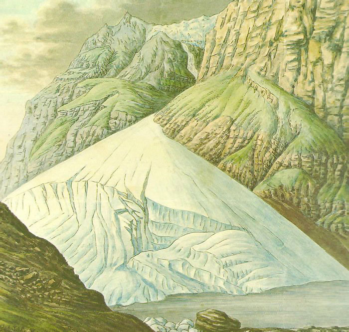
The Giétro Glacier or Giétroz Glacier (french: Glacier du Giétro) is a 4 km long valley glacier located in south-western Switzerland. The 1818 Giétro Glacier catastrophe, which led to lake outburst flood, is one of the most famous and most disastrous historical cases in the Swiss Alps. Description The Giétro Glacier lies on the northern side of the Pennine Alps in the Swiss canton of Valais. It is located in the upper Bagnes Valley, south of Martigny and Verbier. The length of the glacier is 4.45 km (2017) and its area is 5.3 km2 (2017). The glacier is fed by the snows of Mont Blanc de Cheilon (3,870 m) and La Ruinette (3,875 m). On the upper part, the glacier is relatively flat. It descends to the north on the side of Mont Rouge du Giétro and then curves to the west between Le Pleureur and Mont Rouge. On the lower part, the glacier reaches a steepness of 40% forming a large number of crevasses. The terminus is located at about 2,750 metres. Part of the ... [...More Info...] [...Related Items...] OR: [Wikipedia] [Google] [Baidu] |
Entremont (district)
thumb The district of Entremont is a district in the canton of Valais in Switzerland. It has a population of (as of ). Municipalities It comprises the following municipalities: Mergers On 1 January 2021 the former municipalities of Bagnes and Vollèges merged to form the new municipality of Val de Bagnes. Coat of arms The blazon of the municipal coat of arms is ''Azure, a Ram rampant Argent horned Or and langued and hoofed Gules, pierced by a sword Argent hilted Or, on four mounts Vert.'' Demographics Entremont has a population () of . Most of the population () speaks French (11,149 or 91.9%) as their first language, Portuguese is the second most common (275 or 2.3%) and German is the third (201 or 1.7%). There are 122 people who speak Italian and 2 people who speak Romansh. , the gender distribution of the population was 51.1% male and 48.9% female. The population was made up of 5,616 Swiss men (40.4% of the population) and 1,493 (10.7%) non-Swiss men. There wer ... [...More Info...] [...Related Items...] OR: [Wikipedia] [Google] [Baidu] |
Vollèges
Vollèges is a former municipality in the district of Entremont in the canton of Valais in Switzerland. On 1 January 2021 the former municipalities of Bagnes and Vollèges merged to form the new municipality of Val de Bagnes. Geography Vollèges had an area, , of . Of this area, 24.5% is used for agricultural purposes, while 56.1% is forested. Of the rest of the land, 6.1% is settled (buildings or roads) and 13.3% is unproductive land. Coat of arms The blazon of the municipal coat of arms is ''Azure, on a base Vert a Pine tree eradicated Vert trunked and rooted Maroon in front of two cliffs Argent, in chief two Mullets of Five Or.'' Demographics Vollèges had a population (as of 2019) of 2,041. , 5.1% of the population are resident foreign nationals. [...More Info...] [...Related Items...] OR: [Wikipedia] [Google] [Baidu] |
Sembrancher
Sembrancher () is a municipality in the district of Entremont in the canton of Valais in Switzerland. History Sembrancher is first mentioned in 1177 as ''Sancti Pancratii de Branchi''. Its German name ''St Branschier'' is no longer used. Geography Sembrancher has an area, , of . Of this area, 17.5% is used for agricultural purposes, while 63.1% is forested. Of the rest of the land, 4.1% is settled (buildings or roads) and 15.3% is unproductive land. The municipality is the capital of the district of Entremont. It is located at the confluence of the Dranse de Bagnes and the Dranse d'Entremont along the road over the Great St Bernard Pass. It lies about distant from Verbier ski resort and Martigny. Coat of arms The blazon of the municipal coat of arms is ''Azure, in base Coupeaux Argent, issuant from sinister an Arm proper clad Vert and cuffed Argent holding a branch Or''. Demographics Sembrancher has a population () of . , 9.3% of the population are resident foreign n ... [...More Info...] [...Related Items...] OR: [Wikipedia] [Google] [Baidu] |
Riddes
Riddes is a municipality in the district of Martigny in the canton of Valais in Switzerland. History Riddes is first mentioned in 1001 as ''Ride''. It was previously known its German name ''Riden'', though that is not used any more. Geography Riddes has an area, , of . Of this area, 37.4% is used for agricultural purposes, while 37.1% is forested. Of the rest of the land, 9.1% is settled (buildings or roads) and 16.4% is unproductive land. The municipality is located in the Martigny district, on the left bank of the Rhone. It consists of the village of Riddes, the hamlet of Auddes, and the vacation resorts of La Tzoumaz in Mayens-de-Riddes and Écône. Coat of arms The blazon of the municipal coat of arms is ''Trierced per pale wavy Azure a wheat ear Or in chief two Mullets of Five Argent, Argent a bridge masoned towered Sable and Gules a Grille Or.'' Demographics Riddes has a population () of . , 24.0% of the population are resident foreign nationals. [...More Info...] [...Related Items...] OR: [Wikipedia] [Google] [Baidu] |
Nendaz
Nendaz is a municipality in the district of Conthey in the canton of Valais in Switzerland. History Nendaz is first mentioned in 984 as ''Nenda''. It was also known under its German name ''Neind'' though that name is no longer used. Geography Nendaz has an area, , of . Of this area, 27.5% is used for agricultural purposes, while 31.2% is forested. Of the rest of the land, 4.2% is settled (buildings or roads) and 37.0% is unproductive land. The municipality is located in the middle Valais, and stretches from the left bank of the Rhone river () up to the peak of the Rosablanche (). It consists of about 15 villages and hamlets including Basse-Nendaz, Haute-Nendaz, Bieudron, Aproz, Baar, Brignon and Beuson. Coat of arms The blazon of the municipal coat of arms is ''Azure, a Bend Gules between two Pomenranates''. Demographics Nendaz has a population () of . , 10.2% of the population are resident foreign nationals. [...More Info...] [...Related Items...] OR: [Wikipedia] [Google] [Baidu] |
Hérémence
Hérémence is a Municipalities of Switzerland, municipality in the district of Hérens (district), Hérens in the Cantons of Switzerland, canton of Valais in Switzerland. History Hérémence is first mentioned in 1195 as ''Aremens''. Geography Hérémence has an area, , of . Of this area, 18.0% is used for agricultural purposes, while 18.8% is forested. Of the rest of the land, 1.9% is settled (buildings or roads) and 61.3% is unproductive land. The municipality is located in the Hérens district, on the left side of the Borgne and the Dixence rivers. The village of Hérémence is at the confluence of the two rivers. It includes the entire Dixence valley, which is one of the side valleys off the main Rhone valley. It consists of the village of Hérémence and the hamlet (place), hamlets of Ayer, Euseigne, Mâche, Pralong, Riod and Cerise. Coat of arms The blazon of the municipal coat of arms is ''Gules, a Mullet Argent.'' Demographics Hérémence has a population () o ... [...More Info...] [...Related Items...] OR: [Wikipedia] [Google] [Baidu] |
Evolène
Evolène is a municipality in the district of Hérens in the canton of Valais in Switzerland. It includes the villages of Evolène, Les Haudères, La Sage, Villa, La Forclaz, and Arolla, the hamlets of Lannaz and La Tour, and the hollow of Ferpècle. History The prehistoric rock carvings at Alpage De Cotter and the Maison d’habitation in Les Haudères are listed as Swiss heritage site of national significance. Evolène is first mentioned in 1250 as ''Ewelina''. In 1444 it was mentioned as ''in loco de Evolena''. The municipality was formed in 1882 by division of Hérens municipality into Evolène and Saint-Martin. The blazon of the municipal coat of arms is ''Azure, issuant from a base Vert a mountain Argent, in chief dexter two Mullets of Five and a bird vollant all Or.'' Avalanches of 21 February 1999 On 21 February 1999, Evolène was the place of a number of fatal avalanches that caused the deaths of 12 people. This was due to a substantial amount of snow wh ... [...More Info...] [...Related Items...] OR: [Wikipedia] [Google] [Baidu] |
Bourg-Saint-Pierre
Bourg-Saint-Pierre (; frp, Lo Bôrg) is a municipality in the district of Entremont in the canton of Valais in Switzerland. Bourg-Saint-Pierre is the highest inhabited locality of the valley and the last village when ascending the Great Saint Bernard Pass. History Bourg-Saint-Pierre is first mentioned in 1125 as ''Burgus Sancti Petri''. In medieval times, it was a stage on the ''Via Francigena''. A 1693 map of the Valais reffers to Bourg-Saint-Pierre as "S Pierre". A 1799 map of the Helvetic Republic shows the town as "Saint Petersburg". Geography Bourg-Saint-Pierre has an area, , of . Of this area, 29.1% is used for agricultural purposes, while 6.8% is forested. Of the rest of the land, 0.6% is settled (buildings or roads) and 63.5% is unproductive land. The municipality is located on the Italian border. It consists of the village of Bourg-Saint-Pierre and the Hospice du Grand Saint-Bernard in the Great St Bernard Pass. The village of Bourg-Saint-Pierre lies at the f ... [...More Info...] [...Related Items...] OR: [Wikipedia] [Google] [Baidu] |


