|
Badung Strait
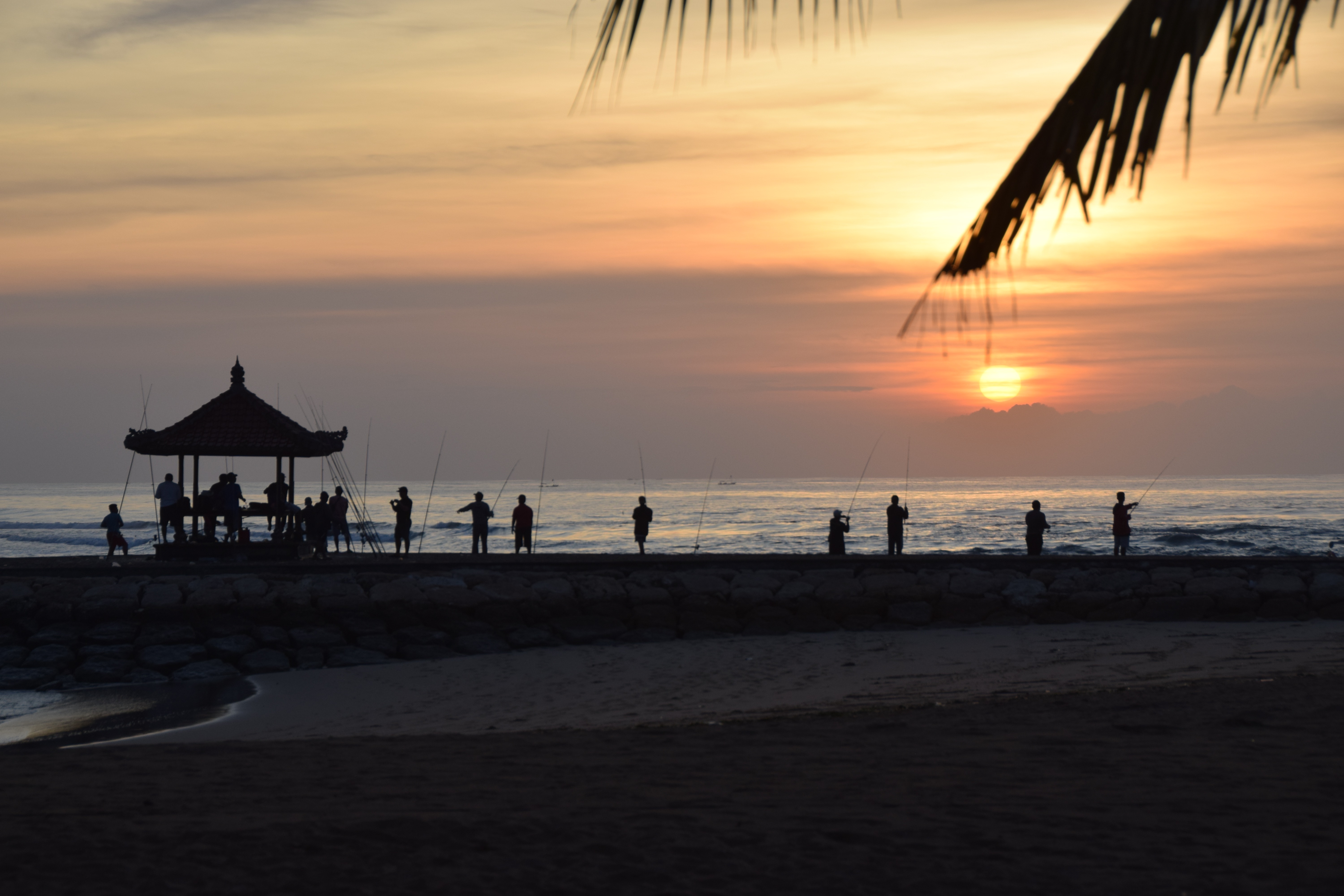
Badung Strait is a strait on the south east side of Bali in Indonesia. It lies between the islands of Bali and Nusa Penida. It is about 60 km long and 20 km wide. History In February 1942, the battle of Badung Strait was fought here. It is usually reported as a body of water that has accidents and mishaps Tourist attractions On the shores of the bay are resort and tourist areas, which are widely known internationally, in particular, Nusa Dua, Tanjung Benoa and Sanur, Bali, Sanur. References Straits of Indonesia Landforms of Bali Lesser Sunda Islands {{Bali-geo-stub ... [...More Info...] [...Related Items...] OR: [Wikipedia] [Google] [Baidu] |
Indonesia
Indonesia, officially the Republic of Indonesia, is a country in Southeast Asia and Oceania between the Indian and Pacific oceans. It consists of over 17,000 islands, including Sumatra, Java, Sulawesi, and parts of Borneo and New Guinea. Indonesia is the world's largest archipelagic state and the 14th-largest country by area, at . With over 275 million people, Indonesia is the world's fourth-most populous country and the most populous Muslim-majority country. Java, the world's most populous island, is home to more than half of the country's population. Indonesia is a presidential republic with an elected legislature. It has 38 provinces, of which nine have special status. The country's capital, Jakarta, is the world's second-most populous urban area. Indonesia shares land borders with Papua New Guinea, East Timor, and the eastern part of Malaysia, as well as maritime borders with Singapore, Vietnam, Thailand, the Philippines, Australia, Palau, and India ... [...More Info...] [...Related Items...] OR: [Wikipedia] [Google] [Baidu] |
Strait
A strait is an oceanic landform connecting two seas or two other large areas of water. The surface water generally flows at the same elevation on both sides and through the strait in either direction. Most commonly, it is a narrow ocean channel that lies between two land masses. Some straits are not navigable, for example because they are either too narrow or too shallow, or because of an unnavigable reef or archipelago. Straits are also known to be loci for sediment accumulation. Usually, sand-size deposits occur on both the two opposite strait exits, forming subaqueous fans or deltas. Terminology The terms ''channel'', ''pass'', or ''passage'' can be synonymous and used interchangeably with ''strait'', although each is sometimes differentiated with varying senses. In Scotland, ''firth'' or ''Kyle'' are also sometimes used as synonyms for strait. Many straits are economically important. Straits can be important shipping routes and wars have been fought for control of them. ... [...More Info...] [...Related Items...] OR: [Wikipedia] [Google] [Baidu] |
Bali
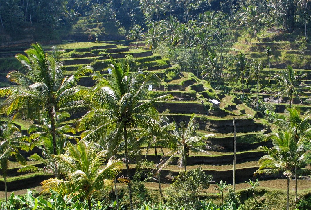
Bali () is a province of Indonesia and the westernmost of the Lesser Sunda Islands. East of Java and west of Lombok, the province includes the island of Bali and a few smaller neighbouring islands, notably Nusa Penida, Nusa Lembongan, and Nusa Ceningan to the southeast. The provincial capital, Denpasar, is the most populous city in the Lesser Sunda Islands and the second-largest, after Makassar, in Eastern Indonesia. The upland town of Ubud in Greater Denpasar is considered Bali's cultural centre. The province is Indonesia's main tourist destination, with a significant rise in tourism since the 1980s. Tourism-related business makes up 80% of its economy. Bali is the only Hindu-majority province in Indonesia, with 86.9% of the population adhering to Balinese Hinduism. It is renowned for its highly developed arts, including traditional and modern dance, sculpture, painting, leather, metalworking, and music. The Indonesian International Film Festival is held every year in Bal ... [...More Info...] [...Related Items...] OR: [Wikipedia] [Google] [Baidu] |
Nusa Penida
Nusa Penida ( ban, ᬦᬸᬲᬧᭂᬦᬶᬤ, Nusa Penida, Penida Island) is an island located in the southeastern Indonesian island of Bali and a district of Klungkung Regency that includes the neighbouring small island of Nusa Lembongan and twelve even smaller islands. The Badung Strait separates the island and Bali. The interior of Nusa Penida is hilly with a maximum altitude of 524 metres. It is drier than the nearby island of Bali. It is one of the major tourist attractions among the three Nusa islands. There are thirteen small islands nearby – Nusa Lembongan, Nusa Ceningan and eleven even smaller – which are included within the district (''kecamatan''). Administratively, the kecamatan of the same name, had a population of 45,110 at the 2010 census, covering 202.8 km2, very little changed from 10 years prior. Bali Bird Sanctuary Nusa Penida, and neighbouring Lembongan and Ceningan islands, are a bird sanctuary. The islands communities have used traditional Balinese villag ... [...More Info...] [...Related Items...] OR: [Wikipedia] [Google] [Baidu] |
Battle Of Badung Strait
The Battle of Badung Strait was a naval battle of the Pacific campaign of World War II, fought on the night of 19/20 February 1942 in Badung Strait (not to be confused with the West Java city of Bandung) between the American-British-Dutch-Australian Command (ABDA) and the Imperial Japanese Navy. In the engagement, the four Japanese destroyers defeated an Allied force that outnumbered and outgunned them, sinking the Dutch destroyer and escorting two transports to safety. The battle demonstrated the Japanese Navy's considerable superiority over the Allies in night fighting which lasted until the Battle of Cape St. George. Background A battalion of the 48th Infantry Division of the Imperial Japanese Army landed on Bali on 18 February 1942. Dutch Admiral Karel Doorman's naval forces were scattered around Indonesia, but the invasion of Bali could not be ignored – it would give the Japanese an airbase within range of the ABDA naval base at Surabaya – so he sent in all ... [...More Info...] [...Related Items...] OR: [Wikipedia] [Google] [Baidu] |
Nusa Dua
Nusa Dua is a resort area built in the 1970s in the southern part of Bali, Indonesia. Known as an enclave of large five-star resorts, it covers 350 hectares of land and encloses more than 20 resorts. It is located 22 kilometers from Denpasar, the provincial capital of Bali, and is administered under South Kuta District, Badung Regency. Nusa Dua means ''two islands'' (''nusa'' 'island', ''dua'' 'two'), because there are two islands in the bay of Bali Tourism Development Corporation area. On the southern side lies Peninsula Island, and on the northern side lies Nusa Dharma Island, which is smaller but shadier, and which contains the Pura/Temple Nusa Dharma. Geger Beach Geger Beach is located in Sawangan, about 3 kilometers from the southern area of Nusa Dua. The sea there is calm, which allows farmers to grow seaweed in the area, as well as being an attractive place for tourists to swim. Water Blow Water Blow is located in the Indonesia Tourism & Development Corporation (ITDC) di ... [...More Info...] [...Related Items...] OR: [Wikipedia] [Google] [Baidu] |
Tanjung Benoa
Tanjung Benoa is a peninsula that is a subdistrict (''kelurahan'') of Kuta South District of Badung Regency on Bali Bali () is a province of Indonesia and the westernmost of the Lesser Sunda Islands. East of Java and west of Lombok, the province includes the island of Bali and a few smaller neighbouring islands, notably Nusa Penida, Nusa Lembongan, and Nu .... It is famous for its beaches. Tanjung Benoa is also a location of various water sports like banana boat, scuba diving, parasailing, rolling donuts, seawalker, flying fish, snorkeling. It is home to Benoa Cruise International Terminal which sees about 50 cruise ships every year. References Populated places in Bali Badung Regency {{Bali-geo-stub ... [...More Info...] [...Related Items...] OR: [Wikipedia] [Google] [Baidu] |
Sanur, Bali
Sanur ( id, Pantai Sanur, pronounced ''sah-noor'') is a coastal stretch of beach east of Denpasar in southeast Bali (about a 30-minute drive from Ngurah Rai International Airport), which has grown into a little town in its own right. A area of Sanur's coastline, from Matahari Terbit Beach to Mertasari Beach, was reclaimed in 2008. History In 1906 the northern part of Sanur Beach was used as the landing site for the Dutch invasion troops during the intervention in Bali. During World War II, Sanur was again the entry point through which the Japanese forces landed to occupy the island of Bali. Tourism Bali Beach Hotel in Sanur was built by Indonesian President Sukarno in 1963, and boosted tourism in Bali. Before the construction of the Bali Beach Hotel, only three significant hotels existed on the island.Adrian Vickers: Bali. A Paradise Created, Periplus 1989, p. 252, . Vickers lists the hotels as the Sindhu Beach Hotel at Sanur, the Kuta Beach Hotel at Kuta, and the Bali Hote ... [...More Info...] [...Related Items...] OR: [Wikipedia] [Google] [Baidu] |
Straits Of Indonesia
A strait is an oceanic landform connecting two seas or two other large areas of water. The surface water generally flows at the same elevation on both sides and through the strait in either direction. Most commonly, it is a narrow ocean channel that lies between two land masses. Some straits are not navigable, for example because they are either too narrow or too shallow, or because of an unnavigable reef or archipelago. Straits are also known to be loci for sediment accumulation. Usually, sand-size deposits occur on both the two opposite strait exits, forming subaqueous fans or deltas. Terminology The terms ''channel'', ''pass'', or ''passage'' can be synonymous and used interchangeably with ''strait'', although each is sometimes differentiated with varying senses. In Scotland, ''firth'' or ''Kyle'' are also sometimes used as synonyms for strait. Many straits are economically important. Straits can be important shipping routes and wars have been fought for control of them. ... [...More Info...] [...Related Items...] OR: [Wikipedia] [Google] [Baidu] |
Landforms Of Bali
A landform is a natural or anthropogenic land feature on the solid surface of the Earth or other planetary body. Landforms together make up a given terrain, and their arrangement in the landscape is known as topography. Landforms include hills, mountains, canyons, and valleys, as well as shoreline features such as bays, peninsulas, and seas, including submerged features such as mid-ocean ridges, volcanoes, and the great ocean basins. Physical characteristics Landforms are categorized by characteristic physical attributes such as elevation, slope, orientation, stratification, rock exposure and soil type. Gross physical features or landforms include intuitive elements such as berms, mounds, hills, ridges, cliffs, valleys, rivers, peninsulas, volcanoes, and numerous other structural and size-scaled (e.g. ponds vs. lakes, hills vs. mountains) elements including various kinds of inland and oceanic waterbodies and sub-surface features. Mountains, hills, plateaux, and plains are the fo ... [...More Info...] [...Related Items...] OR: [Wikipedia] [Google] [Baidu] |


.jpg)


.jpg)