|
Aymestry Limestone Formation
The Aymestry Limestone is a fossiliferous limestone of Gorstian age (Upper Silurian) deposited in a warm shallow sea near the eastern margin of the Iapetus Ocean. It occurs in England in the Ludlow Group, between the Upper Ludlow Shale group, Upper and Lower Ludlow Shale Group, Lower Ludlow Shales. It derives its name from Aymestrey (sic), Herefordshire, where it may be seen on both sides of the River Lugg. It is well developed in the neighbourhood of Ludlow (it is sometimes called the Ludlow limestone) and occupies a similar position in the Ludlow shales at Woolhope, the Abberley Hills, May Hill and the Malvern Hills AONB, Malvern Hills. Description In lithological character, this limestone varies greatly; in one place it is a dark grey, somewhat crystalline limestone, elsewhere it passes into a flaggy, earthy or shaly condition, or even into a mere layer of nodules. When well developed it may reach 50 ft. in thickness in beds of from 1 to 5 ft.; in this condition it ... [...More Info...] [...Related Items...] OR: [Wikipedia] [Google] [Baidu] |
Formation (geology)
A geological formation, or simply formation, is a body of rock having a consistent set of physical characteristics ( lithology) that distinguishes it from adjacent bodies of rock, and which occupies a particular position in the layers of rock exposed in a geographical region (the stratigraphic column). It is the fundamental unit of lithostratigraphy, the study of strata or rock layers. A formation must be large enough that it can be mapped at the surface or traced in the subsurface. Formations are otherwise not defined by the thickness of their rock strata, which can vary widely. They are usually, but not universally, tabular in form. They may consist of a single lithology (rock type), or of alternating beds of two or more lithologies, or even a heterogeneous mixture of lithologies, so long as this distinguishes them from adjacent bodies of rock. The concept of a geologic formation goes back to the beginnings of modern scientific geology. The term was used by Abraham Gottlob Wer ... [...More Info...] [...Related Items...] OR: [Wikipedia] [Google] [Baidu] |
Ludlow Group
The Ludlow Group are geologic formations deposited during the Ludlow epoch of the Silurian period in the British Isles, in areas of England, Ireland, Scotland, and Wales. Formations This group contains the following formations in descending order: # Tilestones Formation, Downton Castle Sandstone formation (90 ft./27.7 m), # Ledbury Formation shales 270 ft./83 m), # Upper Ludlow sub-group formation (140 ft./43 m), # Aymestry Limestone Formation (up to 40 ft./12.3 m), # Lower Ludlow sub-group formation (350 to 780 ft./108 m-240 m). Geology The Ludlow group is essentially shaly in character, except towards the top, where the beds become more sandy and pass gradually into the Old Red Sandstone. The Aymestry limestone, which is irregular in thickness, is sometimes absent, and where the underlying Wenlock limestones are absent the shales of the Ludlow group graduate, downwards into the Wenlock shales. In Wales the group is typically developed between nam ... [...More Info...] [...Related Items...] OR: [Wikipedia] [Google] [Baidu] |
Pentamerus
:''The gall mite genus ''Pentamerus'', established by Roivainen in 1951, is invalid and needs to be renamed. Until this happens, use '' Pentamerus (mite)''.'' ''Pentamerus'' (meaning "five thighs") is a prehistoric genus of brachiopods that lived from the Silurian to the Middle Devonian in Asia, Europe, and North America. See also * Pentamerus Range Sources * ''Fossils'' (Smithsonian Handbooks) by David Ward (Page 82) External links''Pentamerus''in the Paleobiology Database The Paleobiology Database is an online resource for information on the distribution and classification of fossil animals, plants, and microorganisms. History The Paleobiology Database (PBDB) originated in the NCEAS-funded Phanerozoic Marine Pale ... Rhynchonellata Prehistoric brachiopod genera Silurian brachiopods Devonian brachiopods Paleozoic animals of Asia Prehistoric animals of Europe Paleozoic brachiopods of North America Silurian first appearances Middle Devonian genus extinctions ... [...More Info...] [...Related Items...] OR: [Wikipedia] [Google] [Baidu] |
Fossil
A fossil (from Classical Latin , ) is any preserved remains, impression, or trace of any once-living thing from a past geological age. Examples include bones, shells, exoskeletons, stone imprints of animals or microbes, objects preserved in amber, hair, petrified wood and DNA remnants. The totality of fossils is known as the ''fossil record''. Paleontology is the study of fossils: their age, method of formation, and evolutionary significance. Specimens are usually considered to be fossils if they are over 10,000 years old. The oldest fossils are around 3.48 billion years old to 4.1 billion years old. Early edition, published online before print. The observation in the 19th century that certain fossils were associated with certain rock strata led to the recognition of a geological timescale and the relative ages of different fossils. The development of radiometric dating techniques in the early 20th century allowed scientists to quantitatively measure the ... [...More Info...] [...Related Items...] OR: [Wikipedia] [Google] [Baidu] |
Shale
Shale is a fine-grained, clastic sedimentary rock formed from mud that is a mix of flakes of clay minerals (hydrous aluminium phyllosilicates, e.g. kaolin, Al2 Si2 O5( OH)4) and tiny fragments (silt-sized particles) of other minerals, especially quartz and calcite.Blatt, Harvey and Robert J. Tracy (1996) ''Petrology: Igneous, Sedimentary and Metamorphic'', 2nd ed., Freeman, pp. 281–292 Shale is characterized by its tendency to split into thin layers ( laminae) less than one centimeter in thickness. This property is called '' fissility''. Shale is the most common sedimentary rock. The term ''shale'' is sometimes applied more broadly, as essentially a synonym for mudrock, rather than in the more narrow sense of clay-rich fissile mudrock. Texture Shale typically exhibits varying degrees of fissility. Because of the parallel orientation of clay mineral flakes in shale, it breaks into thin layers, often splintery and usually parallel to the otherwise indistinguishable beddin ... [...More Info...] [...Related Items...] OR: [Wikipedia] [Google] [Baidu] |
Malvern Hills AONB
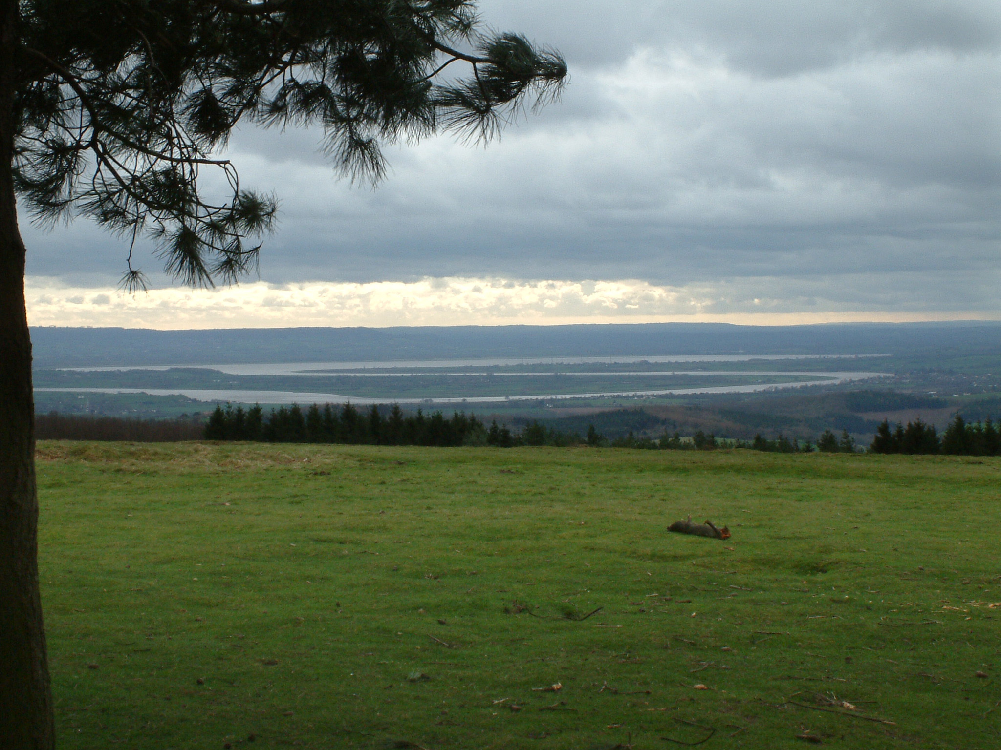
The Malvern Hills are in the English counties of Worcestershire, Herefordshire and a small area of northern Gloucestershire, dominating the surrounding countryside and the towns and villages of the district of Malvern. The highest summit affords a panorama of the Severn Valley, the hills of Herefordshire and the Welsh mountains, parts of thirteen counties, the Bristol Channel, and the cathedrals of Worcester, Gloucester and Hereford. They are known for their spring water – initially from holy wells, and later the spa town of Great Malvern, which led to the production of the modern bottled drinking water. The Malvern Hills have been designated as a biological and geological Site of Special Scientific Interest, and by Natural England as National Character Area 103 and an Area of Outstanding Natural Beauty. Management of the area is the responsibility of the Malvern Hills Trust. Toponymy The name Malvern is probably derived from the ancient British ''moel-bryn'', meaning ... [...More Info...] [...Related Items...] OR: [Wikipedia] [Google] [Baidu] |
May Hill
May Hill is a prominent English hill between Gloucester and Ross-on-Wye. Its summit, on the western edge of Gloucestershire and its northern slopes in Herefordshire, is distinguishable by a clump of trees on its summit, which forms an official biological and geological Site of Special Scientific Interest, Site of Special Scientific Interest. It is reached by three public footpaths, two as parts of the Gloucestershire Way and Wysis Way. Toponymy There is an unverified story that May Hill was named after a certain Captain May who used it as a landmark when navigating the Severn estuary, but documents from a couple of hundred years ago relate that the hill was known as Yartleton Hill and was renamed because of the May Day events held there. Each May Day, morris dancers dance in the new dawn on the top of May Hill and hundreds of observers join in the celebration. A ceremony on May Day morning has been carried out for several centuries; originally it included a mock battle between y ... [...More Info...] [...Related Items...] OR: [Wikipedia] [Google] [Baidu] |
Abberley Hills
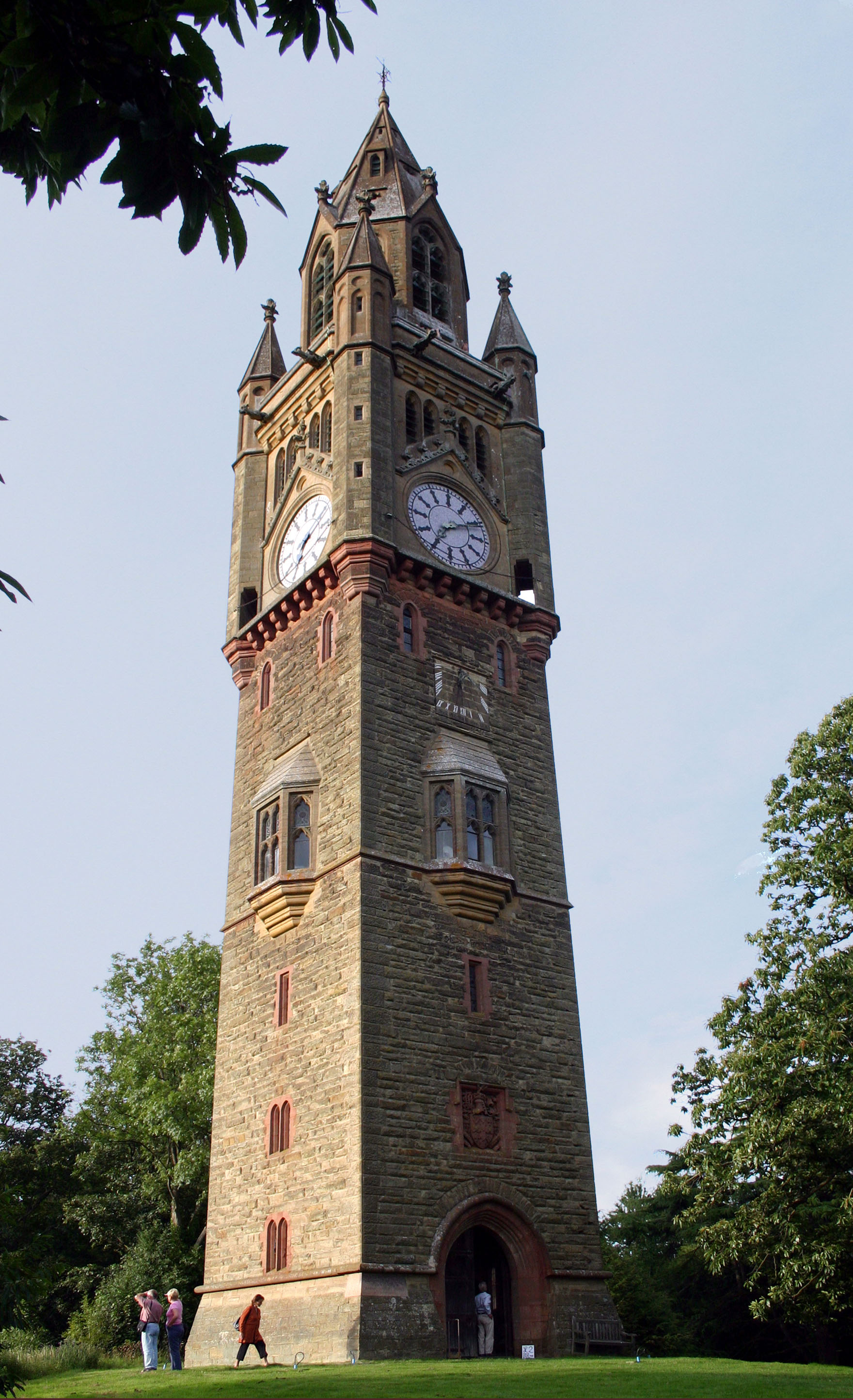
Abberley is a village and civil parish in north west Worcestershire, England. It is situated on the northern slopes of Abberley Hill, which is tall, between the River Severn and River Teme. The village had a population of 830 in 2001. Location Abberley lies halfway between Worcester and Tenbury, at the junction with the road from Worcester to Cleobury Mortimer. The parish was described in 1905 as being "about six miles in length, and nowhere more than one mile in breadth". At the 2001 census, it had the youngest population of any Worcestershire village. The village Abberley is a village of three distinct parts. The oldest part, known as The Village, clusters around the 12th century and 13th century parish church of St. Michael. To the west, and divided from the Village by farmland and the Cleobury road, is The Common, where the largest part of the population lives, new housing is being added, and there is a village shop cum post office. Between the Village and the Common, on ... [...More Info...] [...Related Items...] OR: [Wikipedia] [Google] [Baidu] |
Woolhope
Woolhope is a village and civil parish in the English county of Herefordshire. The population of the civil parish was 486 at the 2011 census. The civil parish includes the hamlet of Broadmoor Common to the west of the village (and a nature reserve of the same name), and a locale known as The Nurdens also known as Upper Woolhope to its northeast. Location Woolhope is located about 7 miles east of Hereford, sat atop the 'Woolhope Dome', a region of particular geological interest; and near Haugh Wood, a Site of Special Scientific Interest due to its varied flora and fauna. History The manor of Woolhope in Herefordshire, along with three others, was given to the cathedral at Hereford before the Norman Conquest by the benefactresses Wulviva and (Lady) Godiva, local Anglo-Saxon landowners before the Norman takeover of the region. The church has a 20th-century stained-glass window showing them. Origin of the name The name of the village comes from Wulviva's Hope (Wulviva's Vall ... [...More Info...] [...Related Items...] OR: [Wikipedia] [Google] [Baidu] |
Ludlow
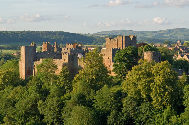
Ludlow () is a market town in Shropshire, England. The town is significant in the history of the Welsh Marches and in relation to Wales. It is located south of Shrewsbury and north of Hereford, on the A49 road which bypasses the town. The town is near the confluence of the rivers Corve and Teme. The oldest part is the medieval walled town, founded in the late 11th century after the Norman conquest of England. It is centred on a small hill which lies on the eastern bank of a bend of the River Teme. Situated on this hill are Ludlow Castle and the parish church, St Laurence's, the largest in the county. From there the streets slope downward to the rivers Corve and Teme, to the north and south respectively. The town is in a sheltered spot beneath Mortimer Forest and the Clee Hills, which are clearly visible from the town. Ludlow has nearly 500 listed buildings, including examples of medieval and Tudor-style half-timbered buildings. The town was described by Sir John Betjeman ... [...More Info...] [...Related Items...] OR: [Wikipedia] [Google] [Baidu] |
River Lugg
The River Lugg ( cy, Afon Llugwy) rises near Llangynllo in Radnorshire, Wales. It flows through the border town of Presteigne and then through Herefordshire, England, where it meets its main tributary, the River Arrow, to the south of Leominster. It flows into the River Wye downstream of Hereford at Mordiford, around from its source. Its name comes from a Welsh root, and means "bright stream". As it passes through the countryside, it is crossed by a number of bridges, many of which are sufficiently old to have become listed structures. Lugg Bridge at Lugwardine and the bridge at Mordiford with its associated causeway both date from the 14th century. The river at Leominster was altered significantly in the 1960s, when it was diverted to the south and then along the course of the Leominster and Kington Railway around the northern edge of the town, as part of a flood defence scheme. In the past, it was important for milling, supplying power to nearly one third of the mills in ... [...More Info...] [...Related Items...] OR: [Wikipedia] [Google] [Baidu] |
Herefordshire
Herefordshire () is a county in the West Midlands of England, governed by Herefordshire Council. It is bordered by Shropshire to the north, Worcestershire to the east, Gloucestershire to the south-east, and the Welsh counties of Monmouthshire and Powys to the west. Hereford, the county town of Herefordshire has a population of approximately 61,000, making it the largest settlement in the county. The next biggest town is Leominster and then Ross-on-Wye. The county is situated in the historic Welsh Marches, Herefordshire is one of the most rural and sparsely populated counties in England, with a population density of 82/km2 (212/sq mi), and a 2021 population of 187,100 – the fourth-smallest of any ceremonial county in England. The land use is mostly agricultural and the county is well known for its fruit and cider production, and for the Hereford cattle breed. Constitution From 1974 to 1998, Herefordshire was part of the former non-metropolitan county of Hereford and Wor ... [...More Info...] [...Related Items...] OR: [Wikipedia] [Google] [Baidu] |


