|
Auchenshuggle
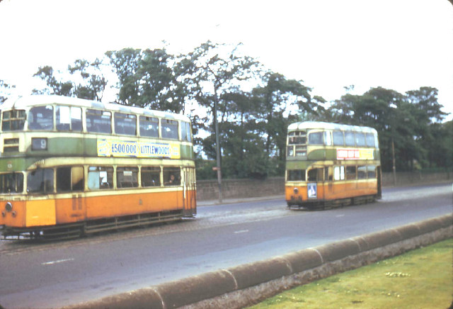
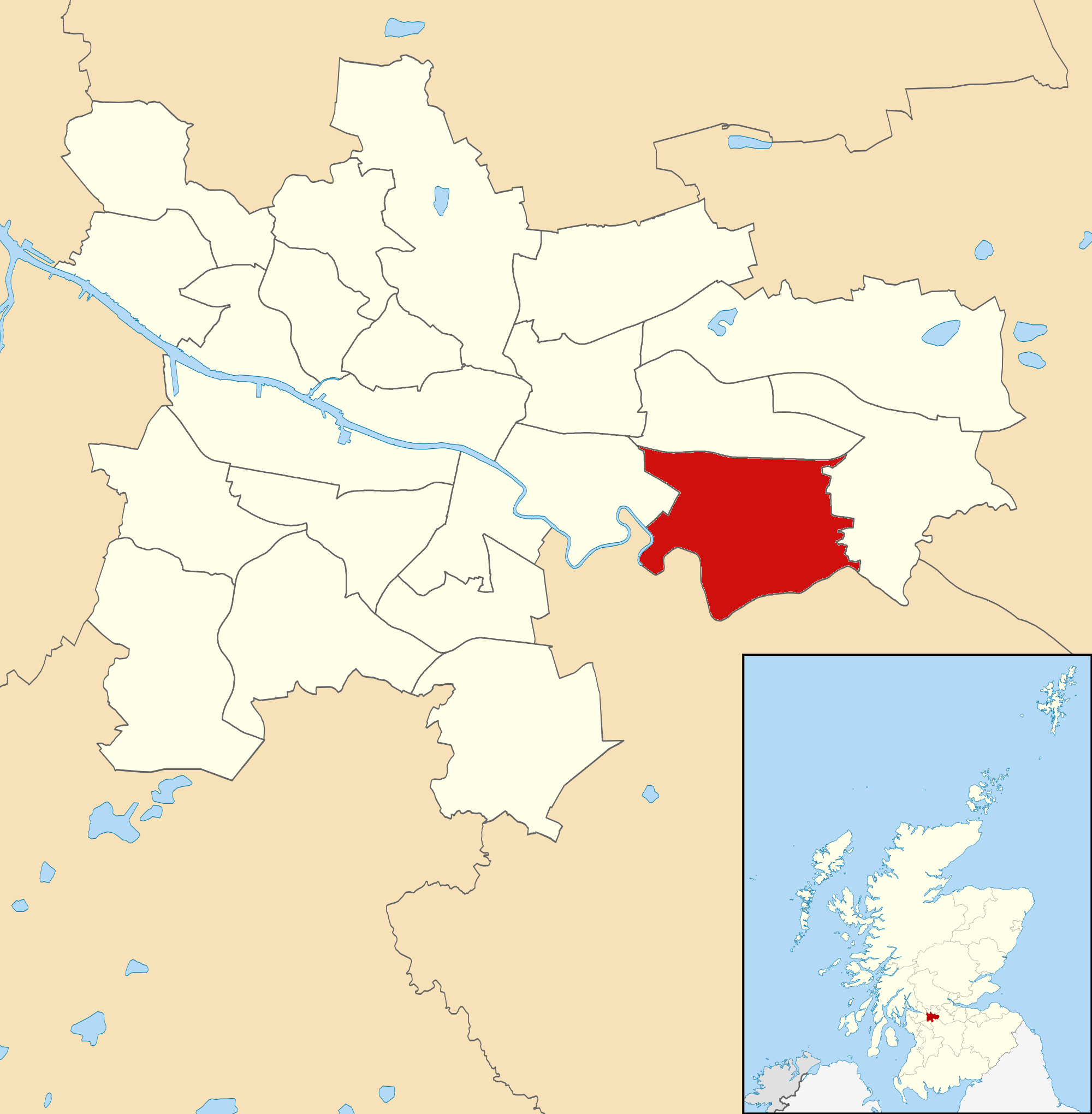
Auchenshuggle ( ; gd, Achadh an t-Seagail, lit=the rye field) is an area of the city of Glasgow in Scotland, to the south of Tollcross. It was the easternmost part of the Braidfauld (45th) Ward of the City of Glasgow, and has been in the larger Shettleston ward since 2007. The role of public transport in spreading the name The quaint name was made famous throughout the city by Glasgow Corporation Tramways. Auchenshuggle was the eastern terminus of tram service number 9 and was duly carried on the destination boards of tramcars. Service No 9 ran between Auchenshuggle and Dalmuir West (a district of Clydebank). The service was extended from its previous terminus at Springfield Road in 1922. The area is at the east end of Glasgow close to London Road, and it was often said that Glasgow Corporation Transport Department invented the name so that curious tourists and city dwellers would travel there thus increasing revenue. In fact, the terminus (at Braidfauld Street) was directly ... [...More Info...] [...Related Items...] OR: [Wikipedia] [Google] [Baidu] |
Auchenshuggle Bridge
Auchenshuggle Bridge (Achadh an t-Seagail - "the rye field" - in Gaelic) is a road bridge spanning the River Clyde in Glasgow, Scotland. The Auchenshuggle Bridge is the latest bridge to be built over the Clyde in the Auchenshuggle district of Glasgow, carrying the M74 motorway over the river and onto land which is part of Clydebridge Steelworks in Rutherglen, en route to the M8 junction near the heavily congested Kingston Bridge. History The Bridge was built as part of the northern extension of the M74, being the southern flank of the never completed Glasgow Inner Ring Road, although following a different route through the southside of the city. The aim of the motorway extension was to relieve the heavily congested northern section of the M8 through the city centre and over the Kingston Bridge by allowing through traffic to bypass the entire city centre section of the M8, via the M74. Construction The Auchenshuggle bridge is a dual three-lane motorway bridge that carries ... [...More Info...] [...Related Items...] OR: [Wikipedia] [Google] [Baidu] |
Braidfauld
Braidfauld is a small area of Glasgow, Scotland which is in the East End of the city slightly north of the River Clyde and south of the Tollcross area.Braidfauld It was also the name of the 45th of , prior to the re-organisation into multi-member wards in 2007. Braidfauld ward, extending from |
Glasgow Corporation Tramways
Glasgow Corporation Tramways were formerly one of the largest urban tram, tramway systems in Europe. Over 1000 municipally-owned trams served the city of Glasgow, Scotland, with over 100 route miles (160 route kilometres) by 1922. The system closed in 1962 and was the last city tramway in Great Britain (prior to the construction of new systems in the 1990s). Creation The Glasgow Street Tramways Act was enacted by Parliament of the United Kingdom, Parliament in 1870. This legislation allowed Politics of Glasgow, Glasgow Town Council to decide whether or not to have tramways within Glasgow. In 1872, the Town Council laid a route from St George's Cross, Glasgow, St George's Cross to Eglinton Toll (via New City Road, Cambridge Street, Sauchiehall Street, Renfield Street and the Glasgow Bridge, Glasgow, Jamaica Bridge). [...More Info...] [...Related Items...] OR: [Wikipedia] [Google] [Baidu] |
Shettleston (ward)
Shettleston (Ward 19) is one of the 23 ward Ward may refer to: Division or unit * Hospital ward, a hospital division, floor, or room set aside for a particular class or group of patients, for example the psychiatric ward * Prison ward, a division of a penal institution such as a pris ...s of Glasgow City Council. Since its creation in 2007 it has Election, returned four council members, using the single transferable vote system; the boundaries have not changed since it was formed. Boundaries Located in the east of Glasgow and immediately north of the River Clyde which forms its southern boundary, the ward is centred around the long-established settlement of Shettleston, and additionally includes the neighbourhoods of Braidfauld (east of Maukinfauld Road), Tollcross, Glasgow, Tollcross, Auchenshuggle, Fullarton/Auchenshuggle, Sandyhills, Mount Vernon, Glasgow, Mount Vernon, Carmyle and part of Parkhead (north of Tollcross Road). The northern boundary is the North Clyde Li ... [...More Info...] [...Related Items...] OR: [Wikipedia] [Google] [Baidu] |
Politics Of Glasgow
The politics of Glasgow, Scotland's largest city by population, are expressed in the deliberations and decisions of Glasgow City Council, in elections to the council, the Scottish Parliament and the House of Commons of the United Kingdom, UK Parliament. Local government As one of the 32 unitary local government areas of Scotland, Glasgow City Council has a defined structure of governance, generally under the Local Government etc. (Scotland) Act 1994, controlling matters of local administration such as housing, planning, local transport, parks and local economic development and Urban renewal, regeneration. For such purposes the city is currently (as of 2020, since 2017) divided into 23 ward (politics), wards, each returning either three or four councillors via single transferable vote, a proportional representation system. From 1995 until 2007, single members were elected from 79 small wards. Among other appointments, one of the councillors becomes its leader, and one other ta ... [...More Info...] [...Related Items...] OR: [Wikipedia] [Google] [Baidu] |
Anderston
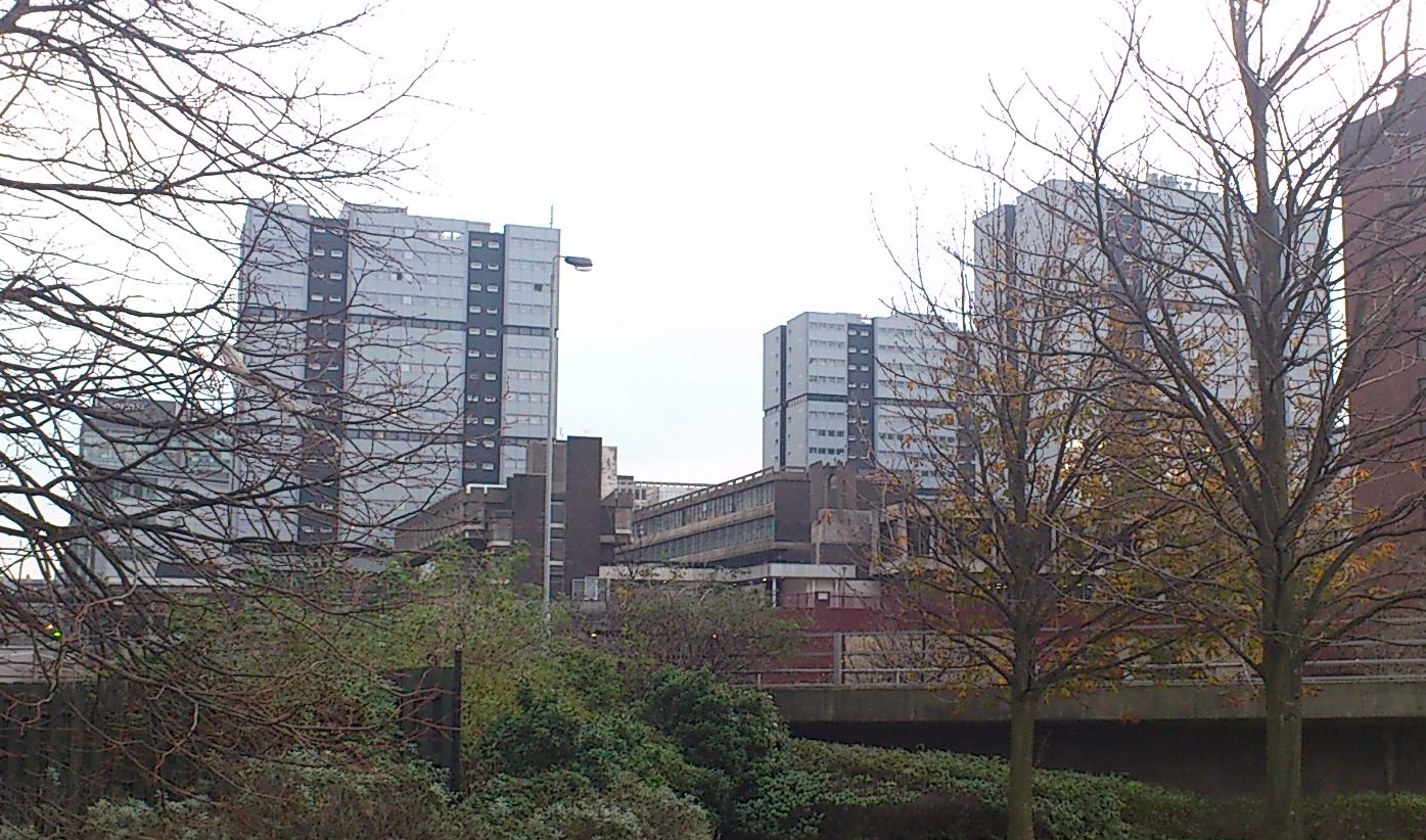
Anderston ( sco, Anderstoun, gd, Baile Aindrea) is an area of Glasgow, Scotland. It is on the north bank of the River Clyde and forms the south western edge of the city centre. Established as a village of handloom weavers in the early 18th century, Anderston was an independent burgh of barony from 1824 until it was incorporated into the City of Glasgow in 1846. The district is served by Anderston railway station. Foundation of Anderston The land on which the present day district of Anderston stands was once known as the Bishop's Forest. These lands, situated to the west of medieval Glasgow, were granted to the Bishop of Glasgow by King James II of Scotland in 1450. The lands of Stobcross, which occupied part of this area, were the property of the Anderson family from the mid-16th century, and here they built their mansion, Stobcross House. Tradition has it that the name came from a wooden cross or ‘stob’ which marked the spot. Stobcross House was demolished in 1875 to ma ... [...More Info...] [...Related Items...] OR: [Wikipedia] [Google] [Baidu] |
Retail Park
A retail park is a type of shopping centre found on the fringes of most large towns and cities in the United Kingdom and other European countries. They form a key aspect of European retail geographies, alongside indoor shopping centres, standalone stores like hypermarkets and more traditional high streets. Cushman & Wakefield define a retail park as any shopping centre with mostly retail warehouse units, of a size or larger. Retail parks have a number of retailers in a single location, but as opposed to an indoor centre, there is no roof and they aren't therefore weather-proof. History Retail parks originate from out of town retail location containing big box retailers which are not suited to pedestrianised high streets, such as garden centres, home stores supermarkets. More recently, many high street retaillers have moved to retail parks, since retail parks offer cheaper rents and cheaper parking for customers. For example, in the UK, Marks and Spencer and Next have closed ... [...More Info...] [...Related Items...] OR: [Wikipedia] [Google] [Baidu] |
A74(M) And M74 Motorways
The A74(M) and M74 form a major motorway in Scotland, connecting it to England. The routes connect the M8 motorway in central Glasgow to the Scottish-English border at Gretna. In conjunction with their southward continuation, the M6 motorway, they form one of the three major cross-border routes between Scotland and England. They are part of the unsigned international E-road network E05. Although the entire route is colloquially referred to as the M74, for more than half its length, south of Abington, the road is officially the A74(M); see ''naming confusion'' below. Route From its junction with the M8 just south of the Kingston Bridge, the newest section passes through the Glasgow districts of Govanhill, Polmadie, Oatlands and parts of the nearby towns of Rutherglen and Cambuslang, on an elevated embankment, with junctions at Kingston, Polmadie Road, Eastfield and Tollcross before connecting to the much older section of the M74. It then runs in a roughly south-easter ... [...More Info...] [...Related Items...] OR: [Wikipedia] [Google] [Baidu] |
2014 Commonwealth Games
The 2014 Commonwealth Games ( gd, Geamannan a' Cho-fhlaitheis 2014), officially known as the XX Commonwealth Games and commonly known as Glasgow 2014, ( sco, Glesca 2014 or Glesga 2014; gd, Glaschu 2014), was an international multi-sport event celebrated in the tradition of the Commonwealth Games as governed by the Commonwealth Games Federation (CGF). It took place in Glasgow, Scotland, from 23 July to 3 August 2014. Glasgow was selected as the host city on 9 November 2007 during CGF General Assembly in Colombo, Sri Lanka, defeating Abuja, Nigeria. It was the largest multi-sport event ever held in Scotland with around 4,950 athletes from 71 different nations and territories competing in 18 different sports, outranking the 1970 and 1986 Commonwealth Games in Edinburgh. Over the last 10 years, however, Glasgow and Scotland had staged World, Commonwealth, European, or British events in all sports proposed for the 2014 Commonwealth Games, including the World Badminton Championsh ... [...More Info...] [...Related Items...] OR: [Wikipedia] [Google] [Baidu] |
Rutherglen
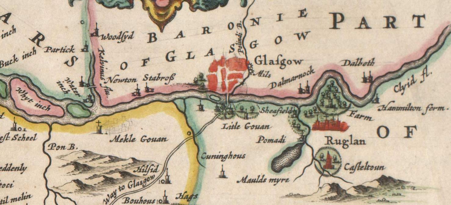
Rutherglen (, sco, Ruglen, gd, An Ruadh-Ghleann) is a town in South Lanarkshire, Scotland, immediately south-east of the city of Glasgow, from its centre and directly south of the River Clyde. Having existed as a Lanarkshire burgh in its own right for more than 800 years, in 1975 Rutherglen lost its own local council and administratively became a component of the City of Glasgow (1975–1996), City of Glasgow District within the Strathclyde Local government areas of Scotland 1973–96, region (along with neighbouring Cambuslang). In 1996 the towns were reallocated to the South Lanarkshire Subdivisions of Scotland, council area.From a pawnbrokers to Parliament - Tommy McAvoy looks back on a career that too ... [...More Info...] [...Related Items...] OR: [Wikipedia] [Google] [Baidu] |
Castlemilk
Castlemilk ( gd, Caisteal Mheilc) is a district of Glasgow, Scotland. It lies to the far south of the city centre, adjacent to the Croftfoot and Simshill residential areas within the city to the north-west, the town of Rutherglen - neighbourhoods of Spittal to the north-east and Fernhill to the east, Linn Park and its golf course to the west, and the separate village of Carmunnock further south across countryside. The area was developed by the Glasgow Corporation as a peripheral housing scheme in the 1950s to accommodate 34,000 people from inner-city slum areas such as the Gorbals. The new residents were provided with open spaces, a clean environment and indoor toilets and bathrooms. The modern development grew around Castlemilk House, a stately old mansion built around Cassilton Tower, which was started in 1460 on the site of a 13th-century castle, and was demolished in December 1969. The population had dropped from 37,000 in 1971 to roughly half that number in 1991. Howev ... [...More Info...] [...Related Items...] OR: [Wikipedia] [Google] [Baidu] |
Tram
A tram (called a streetcar or trolley in North America) is a rail vehicle that travels on tramway tracks on public urban streets; some include segments on segregated right-of-way. The tramlines or networks operated as public transport are called tramways or simply trams/streetcars. Many recently built tramways use the contemporary term light rail. The vehicles are called streetcars or trolleys (not to be confused with trolleybus) in North America and trams or tramcars elsewhere. The first two terms are often used interchangeably in the United States, with ''trolley'' being the preferred term in the eastern US and ''streetcar'' in the western US. ''Streetcar'' or ''tramway'' are preferred in Canada. In parts of the United States, internally powered buses made to resemble a streetcar are often referred to as "trolleys". To avoid further confusion with trolley buses, the American Public Transportation Association (APTA) refers to them as "trolley-replica buses". In the Unit ... [...More Info...] [...Related Items...] OR: [Wikipedia] [Google] [Baidu] |


.jpg)


