|
Apalachicola River
The Apalachicola River is a river, approximately 160 mi (180 km) long in the state of Florida. The river's large watershed, known as the ACF River Basin, drains an area of approximately into the Gulf of Mexico. The distance to its farthest head waters in northeast Georgia is approximately 500 miles (800 km). Its name comes from the Apalachicola people, who used to live along the river. Description The river is formed on the state line between Florida and Georgia, near the town of Chattahoochee, Florida, approximately northeast of Panama City, by the confluence of the Flint and Chattahoochee rivers. The actual confluence is contained within the Lake Seminole reservoir formed by the Jim Woodruff Dam. It flows generally south through the forests of the Florida Panhandle, past Bristol. In northern Gulf County, it receives the Chipola River from the west. It flows into Apalachicola Bay, an inlet of the Gulf of Mexico, at Apalachicola, Florida. The lower of the riv ... [...More Info...] [...Related Items...] OR: [Wikipedia] [Google] [Baidu] |
Confluence
In geography, a confluence (also: ''conflux'') occurs where two or more flowing bodies of water join to form a single channel. A confluence can occur in several configurations: at the point where a tributary joins a larger river (main stem); or where two streams meet to become the source of a river of a new name (such as the confluence of the Monongahela and Allegheny rivers at Pittsburgh, forming the Ohio); or where two separated channels of a river (forming a river island) rejoin at the downstream end. Scientific study of confluences Confluences are studied in a variety of sciences. Hydrology studies the characteristic flow patterns of confluences and how they give rise to patterns of erosion, bars, and scour pools. The water flows and their consequences are often studied with mathematical models. Confluences are relevant to the distribution of living organisms (i.e., ecology) as well; "the general pattern ownstream of confluencesof increasing stream flow and decreasing s ... [...More Info...] [...Related Items...] OR: [Wikipedia] [Google] [Baidu] |
Gulf County, Florida
Gulf County is a county located in the panhandle of the U.S. state of Florida. As of the 2020 census, the population was 14,192. Its county seat is Port St. Joe. Gulf County is included in the Panama City, FL Metropolitan Statistical Area. History Gulf County, created in 1925, was named for the Gulf of Mexico. Wewahitchka was its first county seat and the 1927 Gulf County Courthouse is still in existence. In 1965 the county seat was moved to Port Saint Joe, which under its original name Saint Joseph, had been the site of Florida's first Constitutional Convention in 1838. Geography According to the U.S. Census Bureau, the county has a total area of , of which is land and (25.4%) is water. Communities Cities * Port St. Joe * Wewahitchka Unincorporated communities Unincorporated areas include: * Cape San Blas * Dalkeith * Highland View * Honeyville * Howard Creek * Indian Pass * Oak Grove * Overstreet * St. Joe Beach * White City Time zones By way of the Intra ... [...More Info...] [...Related Items...] OR: [Wikipedia] [Google] [Baidu] |
Torreya State Park
Torreya State Park is a 13,735 acre (56 km²) Florida State Park, United States National Natural Landmark and historic site thirteen miles (19 km) north of Bristol. It is located north of S.R 12 on the Apalachicola River, in northwestern Florida (Florida Panhandle), at 2576 N.W. Torreya Park Road. It was named for the Florida Nutmeg (''Torreya taxifolia'') trees, a rare species of ''Torreya'' tree endemic to the local east bank of the Apalachicola River's limestone bluffs. Geography With river swamps and high pinelands, extensive ravines and high bluffs along the river, the park has one of the most variable terrains of any in Florida. The high elevation of the park is about 300 feet at the top of Logan Hill. Many streams run through the park. History Torreya State Park is one of the original Florida state parks developed by the Civilian Conservation Corps during the Great Depression. The park was named for the Florida tree Torreya taxifolia. Due to the river's impo ... [...More Info...] [...Related Items...] OR: [Wikipedia] [Google] [Baidu] |
Endemic
Endemism is the state of a species being found in a single defined geographic location, such as an island, state, nation, country or other defined zone; organisms that are indigenous to a place are not endemic to it if they are also found elsewhere. For example, the Cape sugarbird is found exclusively in southwestern South Africa and is therefore said to be ''endemic'' to that particular part of the world. An endemic species can be also be referred to as an ''endemism'' or in scientific literature as an ''endemite''. For example '' Cytisus aeolicus'' is an endemite of the Italian flora. '' Adzharia renschi'' was once believed to be an endemite of the Caucasus, but it was later discovered to be a non-indigenous species from South America belonging to a different genus. The extreme opposite of an endemic species is one with a cosmopolitan distribution, having a global or widespread range. A rare alternative term for a species that is endemic is "precinctive", which applies to ... [...More Info...] [...Related Items...] OR: [Wikipedia] [Google] [Baidu] |
Torreya Taxifolia
''Torreya taxifolia'', commonly known as Florida torreya or stinking-cedar, but also sometimes as Florida nutmeg or gopher wood, is an endangered subcanopy tree of the yew family, Taxaceae. It is native to only a small glacial refugium in the southeastern United States, at the state border region of northern Florida and southwestern Georgia. Species discovery In 1821 colonial control of the Florida Territory shifted from Spain to the United States. Plantation owners and their slaves began to move into the territory, exacerbating conflicts with the native peoples and the existing population of runaway slaves. One such plantation owner was the patriarch of the Croom family, who in 1826 purchased land around the town of Tallahassee. When he died in 1829, his two sons inherited and invested further in the region, buying up or leasing other plantations. One of the two sons was Hardy Bryan Croom. Croom had studied law and became a state senator in North Carolina in his early thirti ... [...More Info...] [...Related Items...] OR: [Wikipedia] [Google] [Baidu] |
Flatwoods
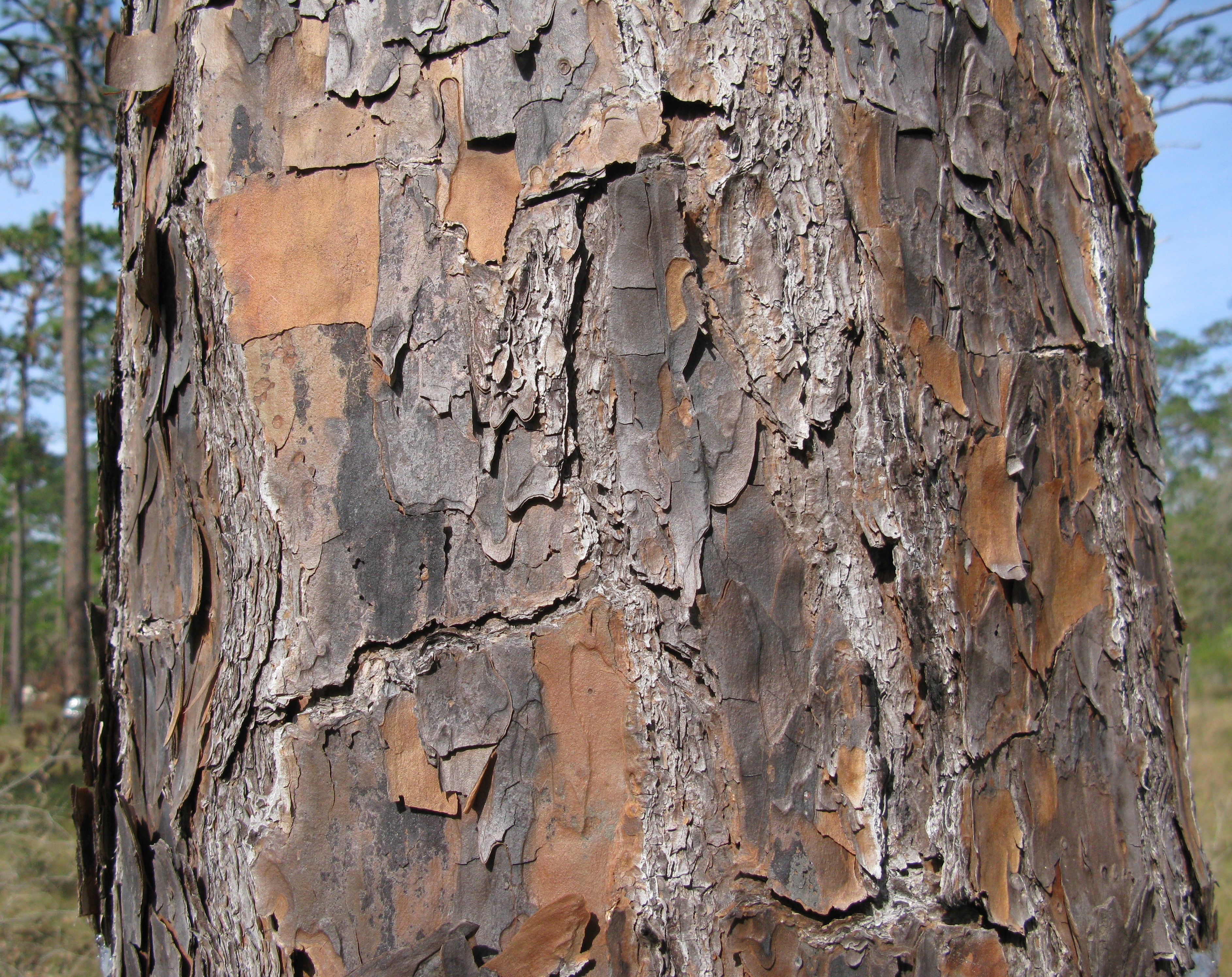
Flatwoods, pineywoods, pine savannas and longleaf pine-wiregrass ecosystem are terms that refer to an ecological community in the southeastern coastal plain of North America. Flatwoods are an ecosystem maintained by wildfire or prescribed fire and are dominated by longleaf pine (''Pinus palustris''), and slash pine (''Pinus elliotii'') in the tree canopy and saw palmetto (''Serenoa repens''), gallberry (''Ilex glabra'') and other flammable evergreen shrubs in the understory, along with a high diversity of herb species.Platt, W.J. 1999. Southeastern pine savannas. In: Anderson, R.C., Fralish, J.S. & Baskin, J. (eds.) The savanna, barren, and rock outcrop communities of North America, pp. 23- 51. Cambridge University Press, Cambridge, UK.Peet, R.K. & Allard, D.J. 1993. Longleaf pine vegetation of the southern Atlantic and eastern Gulf Coast regions: a preliminary classification. In: Hermann, S.M. (ed.) The longleaf pine ecosystem: ecology, restoration and management, pp. 45-81. It wa ... [...More Info...] [...Related Items...] OR: [Wikipedia] [Google] [Baidu] |
Pinus Palustris
The longleaf pine (''Pinus palustris'') is a pine species native to the Southeastern United States, found along the coastal plain from East Texas to southern Virginia, extending into northern and central Florida. In this area it is also known as "yellow pine" or "long leaf yellow pine", although it is properly just one out of a number of species termed yellow pine. It reaches a height of and a diameter of . In the past, before extensive logging, they reportedly grew to with a diameter of . The tree is a cultural symbol of the Southern United States, being the official state tree of Alabama. Contrary to popular belief, this particular species of pine is not officially the state tree of North Carolina. Description The bark is thick, reddish-brown, and scaly. The leaves are dark green and needle-like, and occur in bundles of mainly three, sometimes two or four, especially in seedlings. They often are twisted and in length. A local race of ''P. palustris'' in a cove near Rocki ... [...More Info...] [...Related Items...] OR: [Wikipedia] [Google] [Baidu] |
Temperate Deciduous Forest
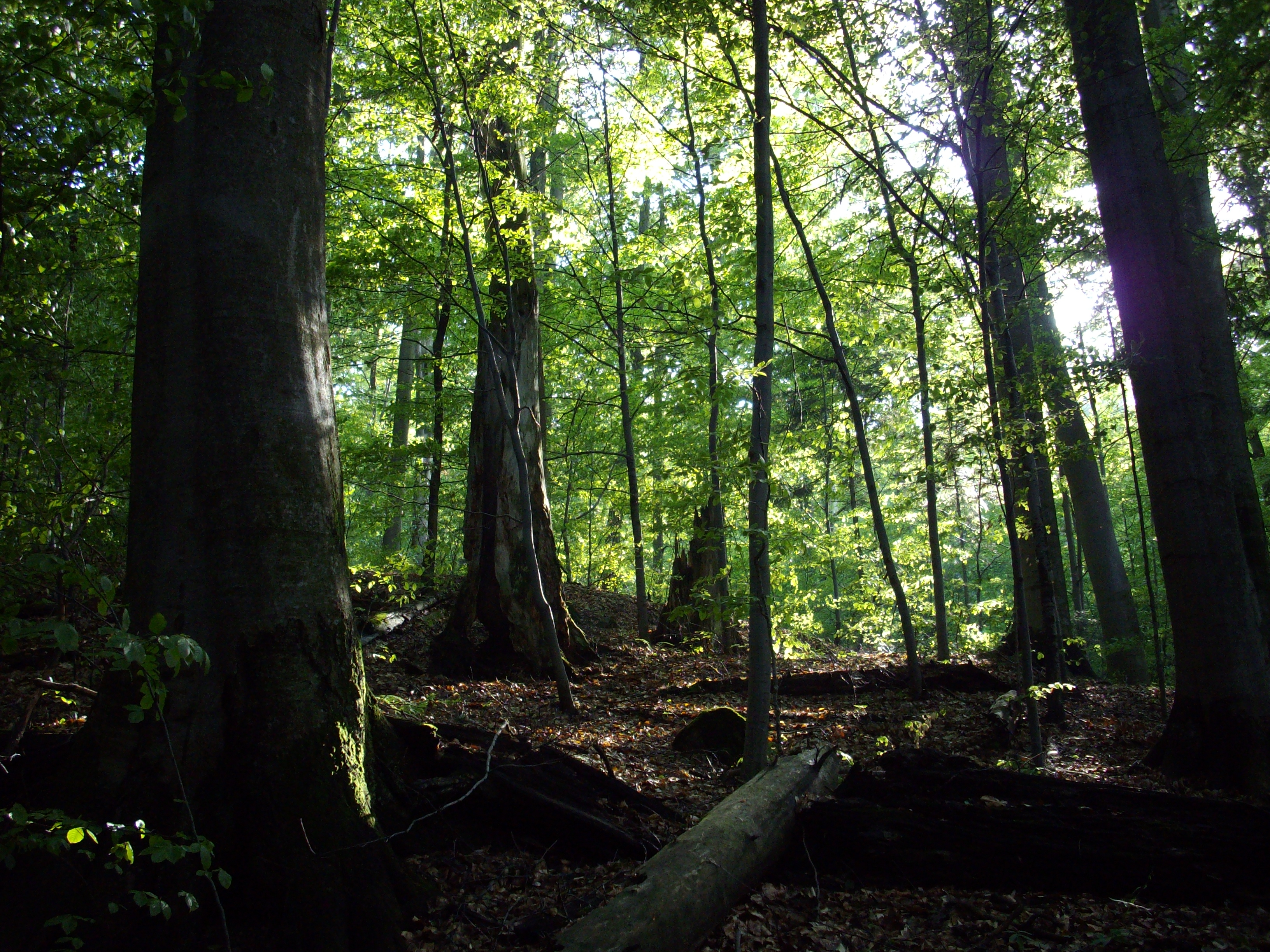
Temperate deciduous or temperate broad-leaf forests are a variety of temperate forest 'dominated' by trees that lose their leaves each year. They are found in areas with warm moist summers and cool winters. The six major areas of this forest type occur in the Northern Hemisphere: North America, East Asia, Central and Western Europe (except Brittany, Cornwall, Wales, Ireland and western Scotland), Denmark, southern Sweden, southern Norway and in the southern hemisphere in Patagonia (Chile and Argentina). Temperate evergreen forests occur in Australasia, New Zealand and southern South America (except for some areas in Chile and Argentina where there are deciduous forests), they are not deciduous as their northern-hemisphere equivalents. Examples of typical trees in the Northern Hemisphere's deciduous forests include oak, maple, basswood, beech and elm, while in the Southern Hemisphere, trees of the genus ''Nothofagus'' dominate this type of forest. They are also bound to receive hea ... [...More Info...] [...Related Items...] OR: [Wikipedia] [Google] [Baidu] |
Great Smoky Mountains
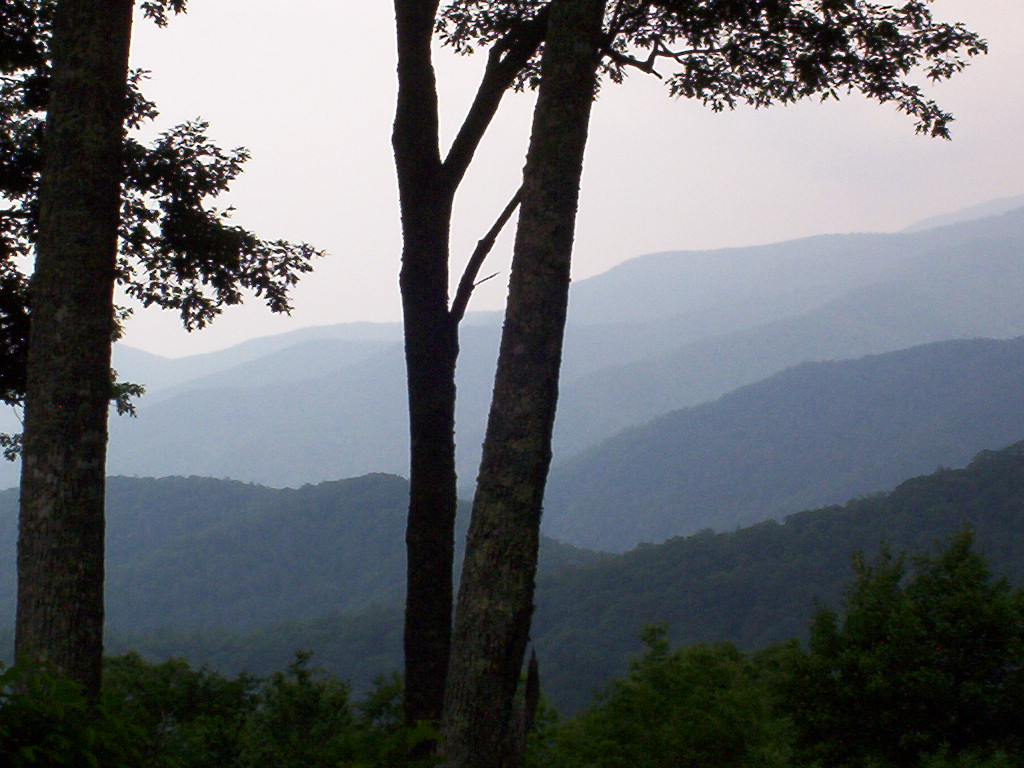
The Great Smoky Mountains (, ''Equa Dutsusdu Dodalv'') are a mountain range rising along the Tennessee–North Carolina border in the southeastern United States. They are a subrange of the Appalachian Mountains, and form part of the Blue Ridge Physiographic Province. The range is sometimes called the Smoky Mountains and the name is commonly shortened to the Smokies. The Great Smokies are best known as the home of the Great Smoky Mountains National Park, which protects most of the range. The park was established in 1934, and, with over 11 million visits per year, it is the most visited national park in the United States. The Great Smokies are part of an International Biosphere Reserve. The range is home to an estimated of old growth forest, constituting the largest such stand east of the Mississippi River. The cove hardwood forests in the range's lower elevations are among the most diverse ecosystems in North America, and the Southern Appalachian spruce-fir forest that coa ... [...More Info...] [...Related Items...] OR: [Wikipedia] [Google] [Baidu] |
Southeastern Naturalist
The points of the compass are a set of horizontal, radially arrayed compass directions (or azimuths) used in navigation and cartography. A compass rose is primarily composed of four cardinal directions—north, east, south, and west—each separated by 90 degrees, and secondarily divided by four ordinal (intercardinal) directions—northeast, southeast, southwest, and northwest—each located halfway between two cardinal directions. Some disciplines such as meteorology and navigation further divide the compass with additional azimuths. Within European tradition, a fully defined compass has 32 'points' (and any finer subdivisions are described in fractions of points). Compass points are valuable in that they allow a user to refer to a specific azimuth in a colloquial fashion, without having to compute or remember degrees. Designations The names of the compass point directions follow these rules: 8-wind compass rose * The four cardinal directions are north (N), east (E), s ... [...More Info...] [...Related Items...] OR: [Wikipedia] [Google] [Baidu] |
Mississippi River
The Mississippi River is the second-longest river and chief river of the second-largest drainage system in North America, second only to the Hudson Bay drainage system. From its traditional source of Lake Itasca in northern Minnesota, it flows generally south for to the Mississippi River Delta in the Gulf of Mexico. With its many tributaries, the Mississippi's watershed drains all or parts of 32 U.S. states and two Canadian provinces between the Rocky and Appalachian mountains. The main stem is entirely within the United States; the total drainage basin is , of which only about one percent is in Canada. The Mississippi ranks as the thirteenth-largest river by discharge in the world. The river either borders or passes through the states of Minnesota, Wisconsin, Iowa, Illinois, Missouri, Kentucky, Tennessee, Arkansas, Mississippi, and Louisiana. Native Americans have lived along the Mississippi River and its tributaries for thousands of years. Most were hunter-ga ... [...More Info...] [...Related Items...] OR: [Wikipedia] [Google] [Baidu] |
Wetlands
A wetland is a distinct ecosystem that is flooded or saturated by water, either permanently (for years or decades) or seasonally (for weeks or months). Flooding results in oxygen-free (anoxic) processes prevailing, especially in the soils. The primary factor that distinguishes wetlands from terrestrial land forms or Body of water, water bodies is the characteristic vegetation of aquatic plants, adapted to the unique anoxic hydric soils. Wetlands are considered among the most biologically diverse of all ecosystems, serving as home to a wide range of plant and animal species. Methods for assessing wetland functions, wetland ecological health, and general wetland condition have been developed for many regions of the world. These methods have contributed to wetland conservation partly by raising public awareness of the functions some wetlands provide. Wetlands occur naturally on every continent. The water in wetlands is either freshwater, brackish or saltwater. The main wetland ty ... [...More Info...] [...Related Items...] OR: [Wikipedia] [Google] [Baidu] |

.jpg)


