|
Ammassalik Island
Ammassalik Island ( da, Ammassalik Ø) is an island in the Sermersooq municipality in southeastern Greenland, with an area of .Norwegian University of Science and Technology Geography Ammassalik Island is located in the region. Separating Ammassalik Island from the mainland of Greenland are the wide Sermilik Fjord in the west and the Ikaasartivaq Strait in the northeast. To the east and southeast, the progres ...[...More Info...] [...Related Items...] OR: [Wikipedia] [Google] [Baidu] |
Kulusuk Island
Kulusuk Island ( kl, Kulusup qeqertaa) is an island in the Sermersooq municipality on the southeastern shore of Greenland.Tasiilaq, Saga Map, Tage Schjøtt, 1992 It is an outlying island in the Ammassalik archipelago of islands on the coast of the North Atlantic. The island is home to Kulusuk, the fourth-largest settlement on the entire eastern coast of Greenland. The island has an area of 41.98 km2, and measures from north to south and from west to east. The Kulusuk Airport on the island is one of the two airports on the entire eastern Greenland coast. History Among the archaeological ruins on Kulusuk the ancient settlement of Ikaasap Ittiva (Ikâsap Igtiva) is located near the shore at the northern end of the isla ...[...More Info...] [...Related Items...] OR: [Wikipedia] [Google] [Baidu] |
Sermilik Fjord
Sermilik ( da, Egede og Rothes Fjord) is a fjord in eastern Greenland. It is part of the Sermersooq municipality. The settlement of Tasiilaq is located about 15 km to the east of the mouth of the fjord. Geography This fjord, whose Greenlandic name 'Sermilik' means 'place with glaciers' is located at the southern end of King Christian IX Land, west of Ammassalik Fjord. It is one of the largest fjords in the southeastern coast of Greenland. Its waters are fed by the Helheim Glacier, Fenris Glacier and Midgard Glacier among others. The fjord stretches inland in a roughly northern direction and splits into two branches at its head —at the southern limit of Schweizerland, the western one being the Helheim Fjord and the right one the Ningerti. Sermilik's mouth is located between Kitak Island and Cape Tycho Brahe in the Denmark Strait area of the Atlantic Ocean. Kangersivartikajik is the next fjord to the east along the coast. Near the fjord's entrance on the western s ... [...More Info...] [...Related Items...] OR: [Wikipedia] [Google] [Baidu] |
Sermersooq Municipality
Sermersooq (, da, sted med meget is, lit=place of much ice) is a municipality in Greenland, formed on 1 January 2009 from five earlier, smaller municipalities. Its administrative seat is the city of Nuuk (formerly called Godthåb), the capital of Greenland, and it is the most populous municipality in the country, with 23,123 inhabitants as of January 2020. Creation The municipality consists of former municipalities of eastern and southwestern Greenland, each named after the largest settlement at the time of formation: * Ammassalik Municipality * Ittoqqortoormiit Municipality * Ivittuut Municipality * Nuuk Municipality * Paamiut Municipality Administrative divisions Ammassalik area * Tasiilaq (Ammassalik) * Kuummiit * Kulusuk (Kap Dan) * Tiniteqilaaq * Sermiligaaq * Isortoq Ittoqqortoormiit area * Ittoqqortoormiit (Scoresbysund) * Itterajivit Ivittuut area * Kangilinnguit (Grønnedal) Nuuk area * Nuuk (Godthåb) * Kapisillit * Qeqertarsuatsiaat (Fiskenæsset) Paami ... [...More Info...] [...Related Items...] OR: [Wikipedia] [Google] [Baidu] |
Ammassalik Municipality
Ammassalik was one of two municipalities in Tunu, the former county of East Greenland − the other one being Illoqqortoormiut (further north). It was located in southeastern Greenland, and with an area of 232,100 km2, most of it on the Greenland ice sheet, ice sheet, it was the largest municipality of East Greenland. It is now mostly part of the new Sermersooq municipality, except for the uninhabited area from Timmiarmiut southwards, which is part of the new Kujalleq municipality. The population was 3,031 on 1 January 2005. Due to its size, the old municipality bordered more municipalities than any other in Greenland (10): *Nanortalik (south) *Narsaq (west) *Qaqortoq (west) *Paamiut Municipality, Paamiut (west) *Maniitsoq (west) *Sisimiut Municipality, Sisimiut (west) *Kangaatsiaq (west) *Qasigiannguit (west) *Nuuk (west) *Ittoqqortoormiit Municipality, Ittoqqortoormiit (north) For the most part, the old municipality boundaries were laid out as straight lines on the ice cap, such a ... [...More Info...] [...Related Items...] OR: [Wikipedia] [Google] [Baidu] |
Sermilik Station
Sermilik Station is a glaciology research station on Ammassalik Island, dedicated to the research of the nearby Mittivakkat Glacier. The station is located on the west side of the Ammasalik island in south east Greenland, on the shore of the Sermilik Fjord. The station is not permanently staffed but visiting researchers work there during the summer months. The station was built in 1970 to provide the logistical base for the research.Hasholt The closest settlement is Tasiilaq, around a day away by foot. The station is situated on a popular hiking route around the island. In 1972, the main building was destroyed by an avalanche. It was rebuilt later closer to the shore, which is its current location. See also * List of research stations in the Arctic * Dye 3 * Eismitte * Ice core * Liverpool Land * Milne Land * NEEM Camp * North Ice * Renland * Scoresby Sund * Summit Camp Summit Camp, also Summit Station, is a year-round staffed research station near the apex of the Gr ... [...More Info...] [...Related Items...] OR: [Wikipedia] [Google] [Baidu] |
Tasiilaq - Greenland Summer 2009
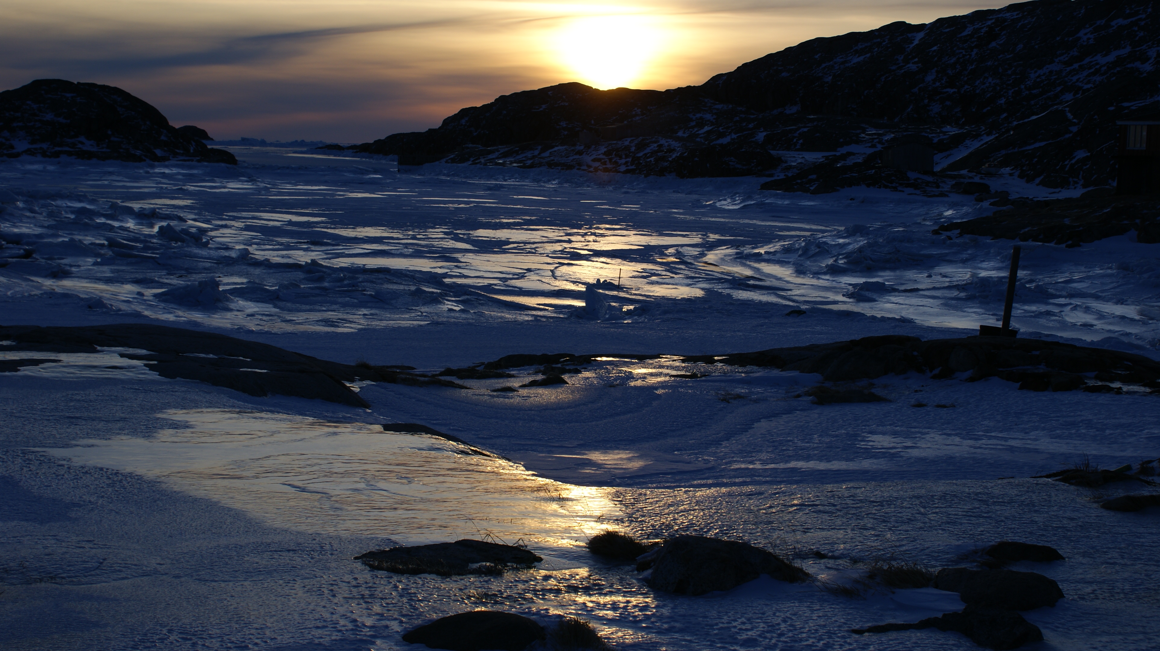
Tasiilaq, formerly Ammassalik and Angmagssalik, is a town in the Sermersooq municipality in southeastern Greenland. With 1,985 inhabitants as of 2020, it is the most populous community on the eastern coast, and the seventh-largest town in Greenland. The Sermilik Station, dedicated to the research of the nearby Mittivakkat Glacier, is located near the town. History Prehistory to the fifteenth century The people of Saqqaq culture were the first to reach eastern Greenland, arriving from the north,eastgreenland.com ''History of East Greenland'' through what is now known as Peary Land and Independence Fjord, to be surpassed by the |
North Atlantic
The Atlantic Ocean is the second-largest of the world's five oceans, with an area of about . It covers approximately 20% of Earth's surface and about 29% of its water surface area. It is known to separate the " Old World" of Africa, Europe and Asia from the "New World" of the Americas in the European perception of the World. The Atlantic Ocean occupies an elongated, S-shaped basin extending longitudinally between Europe and Africa to the east, and North and South America to the west. As one component of the interconnected World Ocean, it is connected in the north to the Arctic Ocean, to the Pacific Ocean in the southwest, the Indian Ocean in the southeast, and the Southern Ocean in the south (other definitions describe the Atlantic as extending southward to Antarctica). The Atlantic Ocean is divided in two parts, by the Equatorial Counter Current, with the North(ern) Atlantic Ocean and the South(ern) Atlantic Ocean split at about 8°N. Scientific explorations of the Atlan ... [...More Info...] [...Related Items...] OR: [Wikipedia] [Google] [Baidu] |
Apusiaajik Island
Apusiaajik Island (old spelling: ''Apusiâjik'') is an uninhabited island in the Sermersooq municipality on the southeastern shore of Greenland.Tasiilaq, Saga Map, Tage Schjøtt, 1992 It is an outlying island in the Ammassalik archipelago of islands on the coast of the North Atlantic. Icelandair STOL aircraft approach Kulusuk Airport on the way from Nerlerit Inaat Airport, Nerlerit Inaat and Reykjavík Airport, Reykjavík flying directly over the southern end of the island. Geography Apusiaajik island is separated from the Kulusuk Island in the south by the Ikaasaartik Strait; from the small Akinaaq island and tiny Skerry, skerries in the southwest by the Torsuut Tunoq sound; from Ammassalik Island in the northwest by the Ammassalik Fjord; from Erqiliqaarteq island in the east and from the Ingiingaleq island in the southeast by the Aqartertuluk sound. The island is very mountainous, with several distinct peaks and mountain ranges. The highest summit is Qivtaatit in the north, a ... [...More Info...] [...Related Items...] OR: [Wikipedia] [Google] [Baidu] |
Torsuut Tunoq
Torsuut Tunoq (old spelling: ''Torssuut Tunoq'') is a sound on the southeastern coast of Greenland. It is an inner waterway of the North Atlantic. Geography The sound separates Kulusuk Island in the south from Apusiaajik Island in the northeast, and from the small ''Akinaaq'' island and smaller skerries in the northwest. The strait waterway connects Ammassalik Fjord in the northwest with the North Atlantic in the southeast, through the Ikaasaartik Strait.Tasiilaq, Saga Map, Tage Schjøtt, 1992 During winter pack ice and small icebergs pushed forth by the East Greenland Current ram against the northeastern coast, blocking the narrow Ikaasaartik Strait and facilitating the freeze of the much wider Torsuut Tunoq sound. The tidewater Apusiaajik Glacier drains into the sound in its northernmost part. Settlement Kulusuk is the only settlement in the area, located on an island of the same name on the southern coast of the sound. Transport The inhabitants of Kulusuk use snow ... [...More Info...] [...Related Items...] OR: [Wikipedia] [Google] [Baidu] |
Ammassalik Fjord
Ammassalik Fjord (old spelling: ''Angmagssalik Fjord'') is a long fjord in the Sermersooq municipality in southeastern Greenland. Geography The head of the fjord at is formed by the confluence of two narrow, tributary fjords: ''Qingertivaq Fjord'' and ''Tasiilaq Fjord'' (one of two fjords of that name). The fjord has a north-to-south orientation in its northern part, to then turn midway to the south-west-south at approximately . While the shores of the northern part separate peninsulas of the mainland of Greenland, the southern, progressively wider half of the fjord separates the large Ammassalik Island in the west from islands of the eponymous Ammassalik Archipelago in the east and southeast, including the largest, Apusiaajik Island.''Tasiilaq'', Saga Map, Tage Schjøtt, 1992 The fjord is joined by narrow waterways with other waterbodies in the region: the Ikaasartivaq Strait separating Ammassalik Island from the mainland connects the fjord to the wider Sermilik Fjord i ... [...More Info...] [...Related Items...] OR: [Wikipedia] [Google] [Baidu] |
King Christian IX Land
King Christian IX Land ( da, Kong Christian IX Land) is a coastal area of Southeastern Greenland in Sermersooq Municipality fronting the Denmark Strait and extending through the Arctic Circle from 65°N to 70°N. History This area was named in September 1884 by Gustav Frederik Holm who claimed it for Denmark, naming it after the then-reigning Danish King Christian IX. Geography King Christian IX Land is bordered by King Frederick VI Coast on the south, King Christian X Land and the Scoresby Sound to the north, and the Greenland Ice Sheet to the west. Greenland's highest mountain range, the Watkins Range, as well as the nearly as high Schweizerland are located in this region. The shore area of King Christian IX Land includes the Blosseville Coast to the east. There are many fjords, the largest of which are Sermilik, Kangerlussuaq and Kangertittivatsiaq, as well as numerous coastal islands, including Ammassalik which is the site of the most populous town in Eastern Green ... [...More Info...] [...Related Items...] OR: [Wikipedia] [Google] [Baidu] |


