|
Alma, Arkansas
Alma is a city in Crawford County, Arkansas, United States. It is located within the Arkansas River Valley at the edge of the Ozark Mountains; the city is the sixth largest in the Fort Smith metropolitan area. The population was 5,419 at the 2010 Census. The city is located at the intersection of Interstates 40 and 49. History Alma was incorporated in 1874 and the economy was largely agricultural until the introduction of the canning industry. Today, the city claims the title of "Spinach Capital of the World". In his book ''Washington Goes to War'', David Brinkley described Alma's participation in the World War II effort: In the town of Alma, Arkansas (population 776), one-fourth of the girls in the 1944 high school graduating class signed up to leave for Washington, and several of their teachers cast aside their low-paying jobs and went with them, all of them climbing aboard a Pullman car for their first train ride, looking for more money and excitement than they had any r ... [...More Info...] [...Related Items...] OR: [Wikipedia] [Google] [Baidu] |
City
A city is a human settlement of notable size.Goodall, B. (1987) ''The Penguin Dictionary of Human Geography''. London: Penguin.Kuper, A. and Kuper, J., eds (1996) ''The Social Science Encyclopedia''. 2nd edition. London: Routledge. It can be defined as a permanent and densely settled place with administratively defined boundaries whose members work primarily on non-agricultural tasks. Cities generally have extensive systems for housing, transportation, sanitation, utilities, land use, production of goods, and communication. Their density facilitates interaction between people, government organisations and businesses, sometimes benefiting different parties in the process, such as improving efficiency of goods and service distribution. Historically, city-dwellers have been a small proportion of humanity overall, but following two centuries of unprecedented and rapid urbanization, more than half of the world population now lives in cities, which has had profound consequences for g ... [...More Info...] [...Related Items...] OR: [Wikipedia] [Google] [Baidu] |
Arkansas River Valley
The Arkansas River Valley (usually shortened to River Valley) is a region in Arkansas defined by the Arkansas River in the western part of the state. Generally defined as the area between the The Ozarks, Ozark and Ouachita Mountains, the River Valley is characterized by flat lowlands covered in fertile farmland and lakes periodically interrupted by high peaks. Mount Magazine, Mount Nebo (Arkansas), Mount Nebo, and Petit Jean Mountain compose the Tri-Peaks Region, a further subdivision of the River Valley popular with hikers and outdoors enthusiasts. In addition to the outdoor recreational activities available to residents and visitors of the region, the River Valley contains Arkansas's wine country as well as hundreds of historical sites throughout the area. It is one of six natural divisions of Arkansas. Definition The Arkansas River Valley is not formally defined along county boundaries, including all of Logan County, Arkansas, Logan and Sebastian County, Arkansas, Sebastian co ... [...More Info...] [...Related Items...] OR: [Wikipedia] [Google] [Baidu] |
Boston Mountains
The Boston Mountains is a Level III ecoregion designated by the Environmental Protection Agency (EPA) in the U.S. states of Arkansas and Oklahoma. Part of the Ozarks, the Boston Mountains are a deeply dissected plateau. The ecoregion is steeper than the adjacent Springfield Plateau to the north, and bordered on the south by the Arkansas Valley. The Oklahoma portion of the range is locally referred to as the Cookson Hills. There are several theories of how the mountains were named, though apparently none are related to the Massachusetts city. The Boston Mountains ecoregion has been subdivided into two Level IV ecoregions. Description The ecoregion is mountainous, forested, and underlain by Pennsylvanian sandstone, shale, and siltstone. It is one of the Ozark Plateaus; some folding and faulting has occurred but, in general, strata are much less deformed than in the Ouachita Mountains. Maximum elevations are higher, soils have a warmer temperature regime, and carbonate rock ... [...More Info...] [...Related Items...] OR: [Wikipedia] [Google] [Baidu] |
Reservoir (water)
A reservoir (; from French ''réservoir'' ) is an enlarged lake behind a dam. Such a dam may be either artificial, built to store fresh water or it may be a natural formation. Reservoirs can be created in a number of ways, including controlling a watercourse that drains an existing body of water, interrupting a watercourse to form an embayment within it, through excavation, or building any number of retaining walls or levees. In other contexts, "reservoirs" may refer to storage spaces for various fluids; they may hold liquids or gasses, including hydrocarbons. ''Tank reservoirs'' store these in ground-level, elevated, or buried tanks. Tank reservoirs for water are also called cisterns. Most underground reservoirs are used to store liquids, principally either water or petroleum. Types Dammed valleys Dammed reservoirs are artificial lakes created and controlled by a dam constructed across a valley, and rely on the natural topography to provide most of the basin of the re ... [...More Info...] [...Related Items...] OR: [Wikipedia] [Google] [Baidu] |
Interstate 540 (Arkansas)
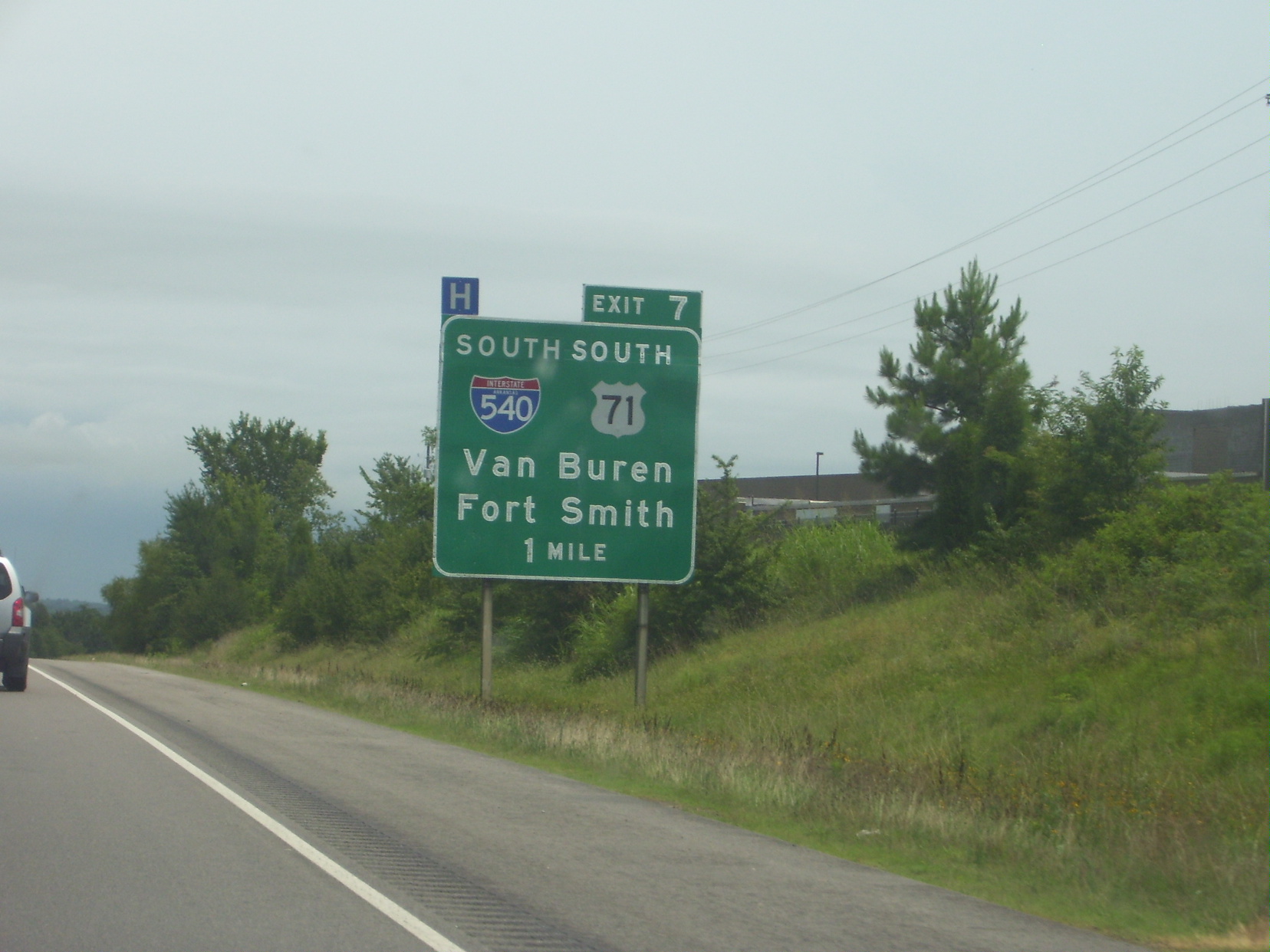
Interstate 540 (I-540) is a freeway spur route of I-40 in the US state of Arkansas in Fort Smith. The total length is . At first, I-540 was a short spur connecting Fort Smith and Van Buren to I-40 as one of the original five Arkansas Interstates. The route ran just over to U.S. Highway 271 (US 271) near the Oklahoma state line. The growing Northwest Arkansas area and the University of Arkansas needed an Interstate connection to Little Rock, and through traffic north to Kansas City, Missouri, Kansas City had also outgrown the winding U.S. Route 71 in Arkansas, US 71 north from I-40. The route was extended north to Mountainburg, Arkansas, Mountainburg in the late 1990s on an all-new alignment (going under concurrency with I-40, one of the only auxiliary routes with a concurrency with its parent) with the route being completed to Bella Vista, Arkansas, Bella Vista in January 1999. However, the segment north of I-40 became a part of Interstate 49 (Arkansas) ... [...More Info...] [...Related Items...] OR: [Wikipedia] [Google] [Baidu] |
United States Census Bureau
The United States Census Bureau (USCB), officially the Bureau of the Census, is a principal agency of the U.S. Federal Statistical System, responsible for producing data about the American people and economy. The Census Bureau is part of the U.S. Department of Commerce and its director is appointed by the President of the United States. The Census Bureau's primary mission is conducting the U.S. census every ten years, which allocates the seats of the U.S. House of Representatives to the states based on their population. The bureau's various censuses and surveys help allocate over $675 billion in federal funds every year and it assists states, local communities, and businesses make informed decisions. The information provided by the census informs decisions on where to build and maintain schools, hospitals, transportation infrastructure, and police and fire departments. In addition to the decennial census, the Census Bureau continually conducts over 130 surveys and programs ... [...More Info...] [...Related Items...] OR: [Wikipedia] [Google] [Baidu] |
Pullman (car Or Coach)
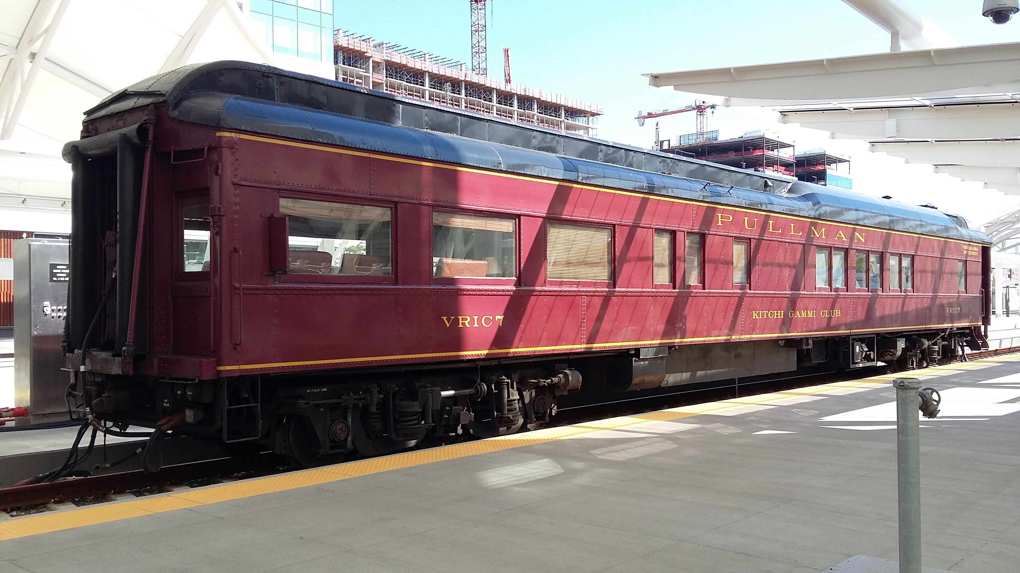
In the United States, Pullman was used to refer to railroad sleeping cars that were built and operated on most U.S. railroads by the Pullman Company (founded by George Pullman) from 1867 to December 31, 1968. Other uses Pullman also refers to railway dining cars in Europe that were operated by the Pullman Company, or lounge cars operated by the Compagnie Internationale des Wagons-Lits. Specifically, in Great Britain, ''Pullman'' refers to the lounge cars operated by the British Pullman Car Company. The nickname ''Pullman coach'' was used in some European cities for the first long (four-axle) electric tramcars whose appearance resembled the Pullman railway cars and that were usually more comfortable than their predecessors. Such coaches ( rus, пульмановский вагон, pul'manovsky vagon) ran in Kyiv from 1907 and in Odessa from 1912. In the 1920s, tramcars nicknamed ''Pullmanwagen'' in German ran in Leipzig, Cologne, Frankfurt and Zürich.Hans Bodmer. ''Das Tram in Z ... [...More Info...] [...Related Items...] OR: [Wikipedia] [Google] [Baidu] |
Washington, D
Washington commonly refers to: * Washington (state), United States * Washington, D.C., the capital of the United States ** A metonym for the federal government of the United States ** Washington metropolitan area, the metropolitan area centered on Washington, D.C. * George Washington (1732–1799), the first president of the United States Washington may also refer to: Places England * Washington, Tyne and Wear, a town in the City of Sunderland metropolitan borough ** Washington Old Hall, ancestral home of the family of George Washington * Washington, West Sussex, a village and civil parish Greenland * Cape Washington, Greenland * Washington Land Philippines *New Washington, Aklan, a municipality *Washington, a barangay in Catarman, Northern Samar *Washington, a barangay in Escalante, Negros Occidental *Washington, a barangay in San Jacinto, Masbate *Washington, a barangay in Surigao City United States * Washington, Wisconsin (other) * Fort Washington (other) ... [...More Info...] [...Related Items...] OR: [Wikipedia] [Google] [Baidu] |
David Brinkley
David McClure Brinkley (July 10, 1920 – June 11, 2003) was an American newscaster for NBC and ABC in a career lasting from 1943 to 1997. From 1956 through 1970, he co-anchored NBC's top-rated nightly news program, ''The Huntley–Brinkley Report,'' with Chet Huntley and thereafter appeared as co-anchor or commentator on its successor, ''NBC Nightly News,'' through the 1970s. In the 1980s and 1990s, Brinkley was host of the popular Sunday '' This Week with David Brinkley'' program and a top commentator on election-night coverage for ABC News. Over the course of his career, Brinkley received ten Emmy Awards, three George Foster Peabody Awards, and the Presidential Medal of Freedom. He wrote three books, including the 1988 bestseller ''Washington Goes to War'', about how World War II transformed the nation's capital. His books were largely based on his own observations as a young reporter in the city. Early life Brinkley was born in Wilmington, North Carolina, the youngest of ... [...More Info...] [...Related Items...] OR: [Wikipedia] [Google] [Baidu] |
Interstate 49
Interstate 49 (I-49) is a north–south Interstate Highway that exists in multiple segments: the original portion entirely within the state of Louisiana with an additional signed portion extending from I-220 in Shreveport to the Arkansas state line, three newer sections in Arkansas, and a new section that opened in Missouri. Its southern terminus is in Lafayette, Louisiana, at I-10 while its northern terminus is in Kansas City, Missouri, at I-435 and I-470. Portions of the remaining roadway in Louisiana, Arkansas, and Texas, which will link Kansas City with New Orleans, are in various stages of planning or construction. Although not part of the original 1957 Interstate Highway plan, residents of Missouri, Arkansas, and Louisiana began campaigning for the highway in 1965 via the "US 71 - I-29 Association". The campaign called for I-29 to be extended south from Kansas City to New Orleans following much of the route along U.S. Route 71 (US 71). The plan called for cr ... [...More Info...] [...Related Items...] OR: [Wikipedia] [Google] [Baidu] |
Interstate 40 In Arkansas
Interstate 40 (I-40) is an east–west Interstate Highway that has a section in the U.S. state of Arkansas, connecting Oklahoma to Tennessee. The route enters Arkansas from the west just north of the Arkansas River near Dora. It travels eastward across the northern portion of the state, connecting the cities of Fort Smith, Clarksville, Russellville, Morrilton, Conway, North Little Rock, Forrest City, and West Memphis. I-40 continues into Tennessee, heading through Memphis. The highway has major junctions with I-540 at Van Buren (the main highway connecting to Fort Smith), I-49 at Alma (the main highway connecting to Fayetteville and Bentonville), I-30 in North Little Rock (the Interstate linking south to Texarkana and Dallas, Texas), and I-55 to Blytheville. For the majority of its routing through Arkansas, I-40 follows the historic alignment of two separate U.S. Highways. From Oklahoma to Little Rock, I-40 generally follows U.S. Highway 64 through the Oza ... [...More Info...] [...Related Items...] OR: [Wikipedia] [Google] [Baidu] |


