|
Al-Manshiyya, Acre
Al-Manshiyya ( ar, المنشية), was a Palestinian village with a Muslim orphanage and a mosque known as the mosque of Abu 'Atiyya, which is still standing. The area just north of the village was a garden planted by Sulayman Pasha, who was the ruler of Acre in the early 19th century, named ar, قصر بهجي, Qasr Bahjī, ''mansion of delight''; today this is known as the shrine of Bahá'u'lláh, who was the founder of the Baháʼí Faith. History Five graves were excavated in al-Manshiyya in 1955–56; the earliest dated from the thirteenth century BC. The people of Al-Manshiyya believed that the village was established in the aftermath of the Crusades, and the original inhabitants were brought to the area from North Africa by the Mamluks to populate the area. However, the village must have disintegrated subsequently, as it is not mentioned in the 1596 census. The local shrine of Abu Atabi has a construction text dating it to 1140 AH (1727–28 CE). It is probably ... [...More Info...] [...Related Items...] OR: [Wikipedia] [Google] [Baidu] |
Mandatory Palestine
Mandatory Palestine ( ar, فلسطين الانتدابية '; he, פָּלֶשְׂתִּינָה (א״י) ', where "E.Y." indicates ''’Eretz Yiśrā’ēl'', the Land of Israel) was a geopolitical entity established between 1920 and 1948 in the region of Palestine under the terms of the League of Nations Mandate for Palestine. During the First World War (1914–1918), an Arab uprising against Ottoman rule and the British Empire's Egyptian Expeditionary Force under General Edmund Allenby drove the Ottoman Turks out of the Levant during the Sinai and Palestine Campaign. The United Kingdom had agreed in the McMahon–Hussein Correspondence that it would honour Arab independence if the Arabs revolted against the Ottoman Turks, but the two sides had different interpretations of this agreement, and in the end, the United Kingdom and France divided the area under the Sykes–Picot Agreementan act of betrayal in the eyes of the Arabs. Further complicating the issue was t ... [...More Info...] [...Related Items...] OR: [Wikipedia] [Google] [Baidu] |
Kingdom Of Jerusalem
The Kingdom of Jerusalem ( la, Regnum Hierosolymitanum; fro, Roiaume de Jherusalem), officially known as the Latin Kingdom of Jerusalem or the Frankish Kingdom of Palestine,Example (title of works): was a Crusader state that was established in the Levant immediately after the First Crusade. It lasted for almost two hundred years, from the accession of Godfrey of Bouillon in 1099 until the siege of Acre in 1291. Its history is divided into two periods with a brief interruption in its existence, beginning with its collapse after the siege of Jerusalem in 1187 and its restoration after the Third Crusade in 1192. The original Kingdom of Jerusalem lasted from 1099 to 1187 before being almost entirely overrun by the Ayyubid Sultanate under Saladin. Following the Third Crusade, it was re-established in Acre in 1192. The re-established state is commonly known as the "Second Kingdom of Jerusalem" or alternatively as the "Kingdom of Acre" after its new capital city. Acre remained t ... [...More Info...] [...Related Items...] OR: [Wikipedia] [Google] [Baidu] |
1922 Census Of Palestine
The 1922 census of Palestine was the first census carried out by the authorities of the British Mandate of Palestine, on 23 October 1922. The reported population was 757,182, including the military and persons of foreign nationality. The division into religious groups was 590,890 Muslims, 83,794 Jews, 73,024 Christians, 7,028 Druze, 408 Sikhs, 265 Baháʼís, 156 Metawalis, and 163 Samaritans. Operation Censuses carried out by the Ottoman Empire, most recently in 1914, had been for the purpose of imposing taxation or locating men for military service. For this reason, the announcement of a census was unpopular and effort was made in advance to reassure the population.Barron, pp. 1–4. This was believed to be successful except in the case of the Bedouins of the Beersheva Subdistrict, who refused to cooperate. Many census gatherers, supervised by 296 Revising Operators and Enumerators, visited each dwelling, with special arrangements made for persons having no fixed address. ... [...More Info...] [...Related Items...] OR: [Wikipedia] [Google] [Baidu] |
Herbert Kitchener, 1st Earl Kitchener
Horatio Herbert Kitchener, 1st Earl Kitchener, (; 24 June 1850 – 5 June 1916) was a senior British Army officer and colonial administrator. Kitchener came to prominence for his imperial campaigns, his scorched earth policy against the Boers, his expansion of Lord Roberts' concentration camps during the Second Boer War and his central role in the early part of the First World War. Kitchener was credited in 1898 for having won the Battle of Omdurman and securing control of the Sudan for which he was made Baron Kitchener of Khartoum. As Chief of Staff (1900–1902) in the Second Boer War he played a key role in Roberts' conquest of the Boer Republics, then succeeded Roberts as commander-in-chief – by which time Boer forces had taken to guerrilla fighting and British forces imprisoned Boer civilians in concentration camps. His term as Commander-in-Chief (1902–1909) of the Army in India saw him quarrel with another eminent proconsul, the Viceroy Lord Curzon, who eventu ... [...More Info...] [...Related Items...] OR: [Wikipedia] [Google] [Baidu] |
Adobe
Adobe ( ; ) is a building material made from earth and organic materials. is Spanish for ''mudbrick''. In some English-speaking regions of Spanish heritage, such as the Southwestern United States, the term is used to refer to any kind of earthen construction, or various architectural styles like Pueblo Revival or Territorial Revival. Most adobe buildings are similar in appearance to cob and rammed earth buildings. Adobe is among the earliest building materials, and is used throughout the world. Adobe architecture has been dated to before 5,100 B.C. Description Adobe bricks are rectangular prisms small enough that they can quickly air dry individually without cracking. They can be subsequently assembled, with the application of adobe mud to bond the individual bricks into a structure. There is no standard size, with substantial variations over the years and in different regions. In some areas a popular size measured weighing about ; in other contexts the size is weighi ... [...More Info...] [...Related Items...] OR: [Wikipedia] [Google] [Baidu] |
PEF Survey Of Palestine
The PEF Survey of Palestine was a series of surveys carried out by the Palestine Exploration Fund (PEF) between 1872 and 1877 for the Survey of Western Palestine and in 1880 for the Survey of Eastern Palestine. The survey was carried out after the success of the Ordnance Survey of Jerusalem by the newly-founded PEF, with support from the War Office. Twenty-six sheets were produced for "Western Palestine" and one sheet for "Eastern Palestine". It was the first fully scientific mapping of Palestine. Besides being a geographic survey the group collected thousands of place names with the objective of identifying Biblical, Talmudic, early Christian and Crusading locations. The survey resulted in the publication of a map of Palestine consisting of 26 sheets, at a scale of 1:63,360, the most detailed and accurate map of Palestine published in the 19th century. The PEF survey represented the peak of the cartographic work in Palestine in the nineteenth century. Although the holiness of Pa ... [...More Info...] [...Related Items...] OR: [Wikipedia] [Google] [Baidu] |
Palestine Exploration Fund
The Palestine Exploration Fund is a British society based in London. It was founded in 1865, shortly after the completion of the Ordnance Survey of Jerusalem, and is the oldest known organization in the world created specifically for the study of the Levant region, also known as Palestine. Often simply known as the PEF, its initial objective was to carry out surveys of the topography and ethnography of Ottoman Palestine – producing the PEF Survey of Palestine – with a remit that fell somewhere between an expeditionary survey and military intelligence gathering. It had a complex relationship with Corps of Royal Engineers, and its members sent back reports on the need to salvage and modernise the region.Ilan Pappé (2004) A history of modern Palestine: one land, two peoples Cambridge University Press, pp 34-35 History Following the completion of the Ordnance Survey of Jerusalem, the Biblical archaeologists and clergymen who supported the survey financed the creation of t ... [...More Info...] [...Related Items...] OR: [Wikipedia] [Google] [Baidu] |
Victor Guérin
Victor Guérin (15 September 1821 – 21 Septembe 1890) was a French intellectual, explorer and amateur archaeologist. He published books describing the geography, archeology and history of the areas he explored, which included Greece, Asia Minor, North Africa, Lebanon, Syria and Palestine. Biography Guérin, a devout Catholic, graduated from the ''École normale supérieure'' in Paris in 1840. After graduation, he began working as a teacher of rhetoric and member of faculty in various colleges and high schools in France, then in Algeria in 1850, and 1852 he became a member of the French School of Athens. While exploring Samos, he identified the spring that feeds the Tunnel of Eupalinos and the beginnings of the channel. His doctoral thesis of 1856 dealt with the coastal region of Palestine, from Khan Yunis to Mount Carmel. With the financial help of Honoré Théodoric d'Albert de Luynes he was able to explore Greece and its islands, Asia Minor, Egypt, Nubia, Tunisia, and the Le ... [...More Info...] [...Related Items...] OR: [Wikipedia] [Google] [Baidu] |
Pierre Jacotin
Pierre Jacotin (1765–1827) was the director of the survey for the ''Carte de l'Égypte (Description de l'Égypte)'', the first triangulation-based map of Egypt, Syria and Palestine. The maps were surveyed in 1799-1800 during the campaign in Egypt and Palestine of Napoleon. After his return from Egypt, Jacotin worked on preparing the plates for publication, but in 1808 Napoleon formally made them state secrets and forbade publication. This was apparently connected with Napoleon's efforts at the time to establish an alliance with the Ottomans. It was not until 1828-30 that the engraved plates could be published.Khatib, 2003, p211/ref> References Bibliography * Further reference * * * (Pierre Jacotin: pp437652, “Syria”: pp594609 ) External links * Jacotin maps at the David Rumsey Historical Map Collection The David Rumsey Historical Map Collection is a large private map collection with over 150,000 maps and cartographic items. The collection was created by David ... [...More Info...] [...Related Items...] OR: [Wikipedia] [Google] [Baidu] |
Sheikh
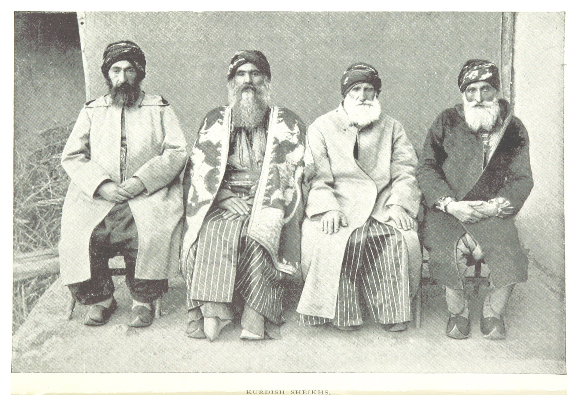
Sheikh (pronounced or ; ar, شيخ ' , mostly pronounced , plural ' )—also transliterated sheekh, sheyikh, shaykh, shayk, shekh, shaik and Shaikh, shak—is an honorific title in the Arabic language. It commonly designates a chief of a tribe or a royal family member in Arabian countries, in some countries it is also given to those of great knowledge in religious affairs as a surname by a prestige religious leader from a chain of Sufi scholars. It is also commonly used to refer to a Muslim religious scholar. It is also used as an honorary title by people claiming to be descended from Hasan ibn Ali and Husayn ibn Ali both patrilineal and matrilineal who are grandsons of the Islamic prophet Muhammad. The term is literally translated to " Elder" (is also translated to "Lord/Master" in a monarchical context). The word 'sheikh' is mentioned in the 23rd verse of Surah Al-Qasas in the Quran. Etymology and meaning The word in Arabic stems from a triliteral root connected with a ... [...More Info...] [...Related Items...] OR: [Wikipedia] [Google] [Baidu] |


_1.jpg)


