|
Ahwaz Field
Ahvaz Field is a super-giant oil field located in Ahvaz, Khuzestan Province, Khuzestan, Iran. It was discovered in 1953, developed by Anglo-Persian Oil Company and began production in 1954. Ahvaz field is one of the richest oil fields in the world with an estimated proven reserves around , and production is centered on . The field is owned by National Iranian Oil Company (NIOC) and operated by National Iranian South Oil Company (NISOC). History Ahvaz oil field was discovered in 1953 by Anglo-Persian Oil Company (APOC). A year later, in 1954 oil production started at an average of 35,000 barrels per day. So far, more than 600 oil wells have been drilled and completed on the field. The super-giant Ahvaz field is the largest oil field in Iran and is located in the southwestern of the country, in the prolific zagros basin. Production from the field comes from the Asmari and the Bangestan Reservoir, reservoirs which respectively started producing in 1959 and 1972. The field is one o ... [...More Info...] [...Related Items...] OR: [Wikipedia] [Google] [Baidu] |
Iran
Iran, officially the Islamic Republic of Iran, and also called Persia, is a country located in Western Asia. It is bordered by Iraq and Turkey to the west, by Azerbaijan and Armenia to the northwest, by the Caspian Sea and Turkmenistan to the north, by Afghanistan and Pakistan to the east, and by the Gulf of Oman and the Persian Gulf to the south. It covers an area of , making it the 17th-largest country. Iran has a population of 86 million, making it the 17th-most populous country in the world, and the second-largest in the Middle East. Its largest cities, in descending order, are the capital Tehran, Mashhad, Isfahan, Karaj, Shiraz, and Tabriz. The country is home to one of the world's oldest civilizations, beginning with the formation of the Elamite kingdoms in the fourth millennium BC. It was first unified by the Medes, an ancient Iranian people, in the seventh century BC, and reached its territorial height in the sixth century BC, when Cyrus the Great f ... [...More Info...] [...Related Items...] OR: [Wikipedia] [Google] [Baidu] |
Anglo-Persian Oil Company
The Anglo-Persian Oil Company (APOC) was a United Kingdom, British company founded in 1909 following the discovery of a large oil field in Masjed Soleiman, Persia (Name of Iran, Iran). The Government of the United Kingdom#History, British government purchased 51% of the company in 1914, gaining a controlling number of shares, effectively nationalizing the company. It was the first company to extract petroleum from Iran. In 1935 APOC was renamed the "Anglo-Iranian Oil Company" (AIOC) when Reza Shah Pahlavi formally asked foreign countries to refer to Persia by its endonym ''Iran''. In 1954, it was renamed again to the "British Petroleum Company", one of the antecedents of the modern BP public limited company. The government of Mohammad Mosaddegh nationalized the company's local infrastructure assets and gave the new company the name National Iranian Oil Company. The D'Arcy oil concession Exploration and discovery In 1901, William Knox D'Arcy, a millionaire London socialite, ne ... [...More Info...] [...Related Items...] OR: [Wikipedia] [Google] [Baidu] |
Kharg Island
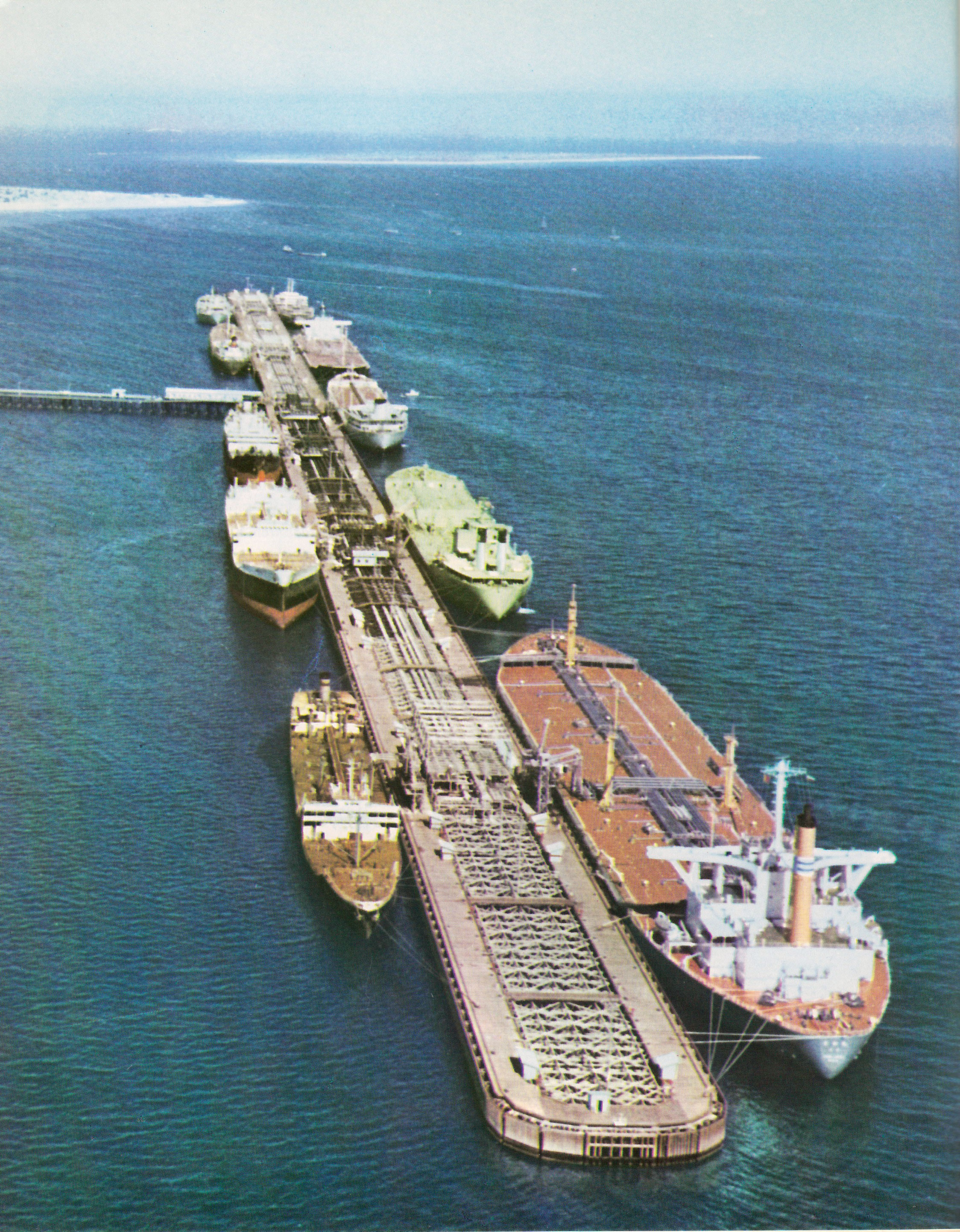
Kharg or Khark Island ( fa, جزیره خارک) is a continental island in the Persian Gulf belonging to Iran. The island is located off the coast of Iran and northwest of the Strait of Hormuz. Its total area is . Administered by the adjacent coastal Bushehr Province, Khark Island provides a sea port for the export of oil and extends Iranian territorial sea claims into the Persian Gulf oil fields. Located on Khark Island is Khark, the only city in the Khark District. History Mentioned in the '' Hudud al-'Alam'' as a good source for pearls around 982 AD, Khark was visited by the French traveller Jean de Thévenot in 1665, who recorded trade at the time with Isfahan and Basra. In 1753 the Dutch Empire established both a trading post and a fort on the island after securing perpetual ownership of the island from Mir Nasáir, the Arab ruler of Bandar Rig, in return for a present of 2000 rupees. In 1766 the Dutch fort was captured by Mir Mahanna, the governor of Bandar Rig ... [...More Info...] [...Related Items...] OR: [Wikipedia] [Google] [Baidu] |
Oil Separation
A separation process is a method that converts a mixture or a solution of chemical substances into two or more distinct product mixtures, a scientific process of separating two or more substance in order to obtain purity. At least one product mixture from the separation is enriched in one or more of the source mixture's constituents. In some cases, a separation may fully divide the mixture into pure constituents. Separations exploit differences in chemical properties or physical properties (such as size, shape, mass, density, or chemical affinity) between the constituents of a mixture. Processes are often classified according to the particular properties they exploit to achieve separation. If no single difference can be used to accomplish the desired separation, multiple operations can often be combined to achieve the desired end. With a few exceptions, elements or compounds exist in nature in an impure state. Often these raw materials must go through a separation before t ... [...More Info...] [...Related Items...] OR: [Wikipedia] [Google] [Baidu] |
Asmari Formation
The Asmari Formation is a geological formation in western Iran. Located in the western Zagros Mountains, it is a carbonate formation that largely consists of limestone, dolomitic limestone, dolomite, and marly limestone. There are also smaller amounts of anhydrite, lithic sandstone, and limey sandstone. The formation dates to the Oligocene and Miocene periods and is a major hydrocarbon reserve. It has been producing oil since the 1930s. It also forms a major aquifer, which discharges at various springs in the Zagros region. The Asmari Formation's basic biostratigraphy was established in the 1950s and it was formally described in 1965. It consists of carbonate platforms that were formed in 6 distinct stages. The formation is named after the Asmari Mountains southeast of Masjed Soleyman, and its type sample was taken from the Tang-e Gel Torsh in these mountains. The Asmari Formation was deposited at a time when the Tethys Ocean was finally closing and the Zagros Mountains were f ... [...More Info...] [...Related Items...] OR: [Wikipedia] [Google] [Baidu] |
Zagros Mountains
The Zagros Mountains ( ar, جبال زاغروس, translit=Jibal Zaghrus; fa, کوههای زاگرس, Kuh hā-ye Zāgros; ku, چیاکانی زاگرۆس, translit=Çiyakani Zagros; Turkish: ''Zagros Dağları''; Luri: ''Kuh hā-ye Zāgros'' ''کویا زاگرس'') are a long mountain range in Iran, northern Iraq, and southeastern Turkey. This mountain range has a total length of . The Zagros mountain range begins in northwestern Iran and roughly follows Iran's western border while covering much of southeastern Turkey and northeastern Iraq. From this border region, the range continues to the southeast under also the waters of the Persian Gulf. It spans the southern parts of the Armenian highland, the whole length of the western and southwestern Iranian plateau, ending at the Strait of Hormuz. The highest point is Mount Dena, at . Geology The Zagros fold and thrust belt was mainly formed by the collision of two tectonic plates, the Eurasian Plate and the Arabian ... [...More Info...] [...Related Items...] OR: [Wikipedia] [Google] [Baidu] |
Reservoir
A reservoir (; from French ''réservoir'' ) is an enlarged lake behind a dam. Such a dam may be either artificial, built to store fresh water or it may be a natural formation. Reservoirs can be created in a number of ways, including controlling a watercourse that drains an existing body of water, interrupting a watercourse to form an embayment within it, through excavation, or building any number of retaining walls or levees. In other contexts, "reservoirs" may refer to storage spaces for various fluids; they may hold liquids or gasses, including hydrocarbons. ''Tank reservoirs'' store these in ground-level, elevated, or buried tanks. Tank reservoirs for water are also called cisterns. Most underground reservoirs are used to store liquids, principally either water or petroleum. Types Dammed valleys Dammed reservoirs are artificial lakes created and controlled by a dam constructed across a valley, and rely on the natural topography to provide most of the basin ... [...More Info...] [...Related Items...] OR: [Wikipedia] [Google] [Baidu] |
Proven Reserves
Proven reserves (also called measured reserves, 1P, and reserves) is a measure of fossil fuel energy reserves, such as oil reserves, natural gas reserves, and coal reserves. It is defined as the " antity of energy sources estimated with reasonable certainty, from the analysis of geologic and engineering data, to be recoverable from well established or known reservoirs with the existing equipment and under the existing operating conditions." A reserve is considered proven if it is probable that at least 90% of the resource is recoverable by economically profitable means. Operating conditions are taken into account when determining if a reserve is classified as proven. Operating conditions include operational break-even price, regulatory and contractual approvals, without which the reserve cannot be classified as proven. Price changes therefore can have a large impact on the classification of proven reserves. Regulatory and contractual conditions may change, and also affect the ... [...More Info...] [...Related Items...] OR: [Wikipedia] [Google] [Baidu] |
Ahvaz
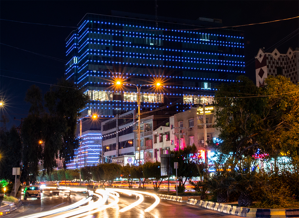
Ahvaz ( fa, اهواز, Ahvâz ) is a city in the southwest of Iran and the capital of Khuzestan province. Ahvaz's population is about 1,300,000 and its built-up area with the nearby town of Sheybani is home to 1,136,989 inhabitants. It is home to Persians, Arabs, Bakhtiaris, Dezfulis, Shushtaris, and others. Languages spoken in the area include Persian and Arabic, as well as dialects of Luri ( Bakhtiari), Dezfuli, Shushtari, and others. One of the 2 navigable rivers of Iran alongside the Arvand Rud ( Shatt al-Arab), the Karun, passes through the middle of the city. Ahvaz has a long history, dating back to the Achaemenid period. In ancient times, the city was one of the main centers of the Academy of Gondishapur. Etymology The word Ahvaz is a Persianized form of the Arabic "Ahwaz," which, in turn, is derived from an older Persian word. The Dehkhoda Dictionary specifically defines the "Suq-al-Ahvaz" as "Market of the Khuzis", where "Suq" is the Elamite word for market, an ... [...More Info...] [...Related Items...] OR: [Wikipedia] [Google] [Baidu] |
Khuzestan Province
Khuzestan Province (also spelled Xuzestan; fa, استان خوزستان ''Ostān-e Xūzestān'') is one of the 31 provinces of Iran. It is in the southwest of the country, bordering Iraq and the Persian Gulf. Its capital is Ahvaz and it covers an area of . Since 2014, it has been part of Iran's Region 4. Historically, one of the most important regions of the Ancient Near East, Khuzestan is what historians refer to as ancient Elam, whose capital was in Susa. The Achaemenid Old Persian term for Elam was ''Hujiyā'' when they conquered it from the Elamites, which is present in the modern name. Khuzestan, meaning "the Land of the Khuz", refers to the original inhabitants of this province, the "Susian" people (Old Persian "Huza" or ''Huja'', as in the inscription at the tomb of Darius the Great at Naqsh-e Rostam). They are the Shushan of the Hebrew sources where they are recorded as "Hauja" or "Huja". In Middle Persian, the term evolves into "Khuz" and "Kuzi". The pre-Islamic Parth ... [...More Info...] [...Related Items...] OR: [Wikipedia] [Google] [Baidu] |
Oil Field
A petroleum reservoir or oil and gas reservoir is a subsurface accumulation of hydrocarbons contained in porous or fractured rock formations. Such reservoirs form when kerogen (ancient plant matter) is created in surrounding rock by the presence of high heat and pressure in the Earth's crust. Petroleum reservoirs are broadly classified as ''conventional'' and '' unconventional'' reservoirs. In conventional reservoirs, the naturally occurring hydrocarbons, such as crude oil or natural gas, are trapped by overlying rock formations with lower permeability, while in unconventional reservoirs, the rocks have high porosity and low permeability, which keeps the hydrocarbons trapped in place, therefore not requiring a cap rock. Reservoirs are found using hydrocarbon exploration methods. Oil field An oil field is an area of accumulation of liquid oil underground in multiple (potentially linked) reservoirs, trapped as it rises by impermeable rock formations. In industrial terms, ... [...More Info...] [...Related Items...] OR: [Wikipedia] [Google] [Baidu] |
Jurassic
The Jurassic ( ) is a geologic period and stratigraphic system that spanned from the end of the Triassic Period million years ago (Mya) to the beginning of the Cretaceous Period, approximately Mya. The Jurassic constitutes the middle period of the Mesozoic Era and is named after the Jura Mountains, where limestone strata from the period were first identified. The start of the Jurassic was marked by the major Triassic–Jurassic extinction event, associated with the eruption of the Central Atlantic Magmatic Province. The beginning of the Toarcian Stage started around 183 million years ago and is marked by an extinction event associated with widespread oceanic anoxia, ocean acidification, and elevated temperatures likely caused by the eruption of the Karoo-Ferrar large igneous provinces. The end of the Jurassic, however, has no clear boundary with the Cretaceous and is the only boundary between geological periods to remain formally undefined. By the beginning of the Jurassi ... [...More Info...] [...Related Items...] OR: [Wikipedia] [Google] [Baidu] |


