|
Afton, Texas
Afton is an unincorporated community in northern Dickens County, Texas, United States. History A post office was established in the community under the name Beckton in 1893, and the name was changed to Afton in 1900. The present name is derived from the poem ''Sweet Afton'' by Robert Burns. Education The Patton Springs Independent School District serves area students. Notable person *Country musician Trent Willmon was raised on a ranch near Afton. See also *Battle of Pease River * Little Red River *Pease River *Quitaque Creek *Salt Fork Brazos River *Washita River *Wichita River The Wichita River ( ), part of the Red River watershed, lies in north-central Texas. Rising in northeastern Knox County at the confluence of its North and South Forks, the river flows northeast across Baylor, Archer, Wichita, and Clay count ... References External links * * * Unincorporated communities in Texas Unincorporated communities in Dickens County, Texas {{DickensCoun ... [...More Info...] [...Related Items...] OR: [Wikipedia] [Google] [Baidu] |
Unincorporated Area
An unincorporated area is a region that is not governed by a local municipal corporation. Widespread unincorporated communities and areas are a distinguishing feature of the United States and Canada. Most other countries of the world either have no unincorporated areas at all or these are very rare: typically remote, outlying, sparsely populated or List of uninhabited regions, uninhabited areas. By country Argentina In Argentina, the provinces of Chubut Province, Chubut, Córdoba Province (Argentina), Córdoba, Entre Ríos Province, Entre Ríos, Formosa Province, Formosa, Neuquén Province, Neuquén, Río Negro Province, Río Negro, San Luis Province, San Luis, Santa Cruz Province, Argentina, Santa Cruz, Santiago del Estero Province, Santiago del Estero, Tierra del Fuego Province, Argentina, Tierra del Fuego, and Tucumán Province, Tucumán have areas that are outside any municipality or commune. Australia Unlike many other countries, Australia has only local government in Aus ... [...More Info...] [...Related Items...] OR: [Wikipedia] [Google] [Baidu] |
Trent Willmon
Trent Willmon (born March 6, 1973) is an American country music artist, songwriter, and producer. Active since 1998 as a songwriter in Nashville, Tennessee, Willmon was signed to Columbia Records in 2004. He released two albums for the label (2004's ''Trent Willmon'' and 2006's '' A Little More Livin''') and charted six singles on the U.S. ''Billboard'' Hot Country Songs charts before exiting Columbia in 2006. A third album, entitled '' Broken In'', was released on the independent Compadre label in February 2008. Musical career Willmon was born in Amarillo, Texas and was raised on a ranch near Afton, Texas. After 2 years at South Plains College as an Animal Science major, he left to pursue music, playing with several Texas- based bands, including playing bass for bluegrass legend Karl Shiflett. In 1999 he signed a staff writing deal with SeaGayle Music. One of his first cuts as a songwriter was "It Doesn't Mean I Don't Love You", which he co-wrote with Bobby Pinson and Jeremy Sp ... [...More Info...] [...Related Items...] OR: [Wikipedia] [Google] [Baidu] |
Wichita River
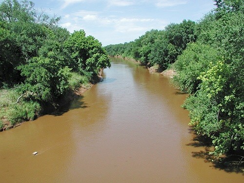
The Wichita River ( ), part of the Red River watershed, lies in north-central Texas. Rising in northeastern Knox County at the confluence of its North and South Forks, the river flows northeast across Baylor, Archer, Wichita, and Clay counties before joining the Red River just west of Byers Bend in northern Clay County. The Texan Santa Fe Expedition crossed the river at the site of present-day Wichita Falls in 1841 and found a large Wichita Indian village at the site; the river was later named after the tribe. Today, the largest human settlement on the river is the city of Wichita Falls, which was named after a five-foot waterfall on the river that later washed away in a flood in 1886. The city after nearly 100 years of visitors wanting to visit the non-existent falls built an artificial waterfall beside the river in Lucy Park. The recreated falls are high and recirculate at 3,500 gallons per minute. They are visible to south-bound traffic on Interstate 44. The river is ... [...More Info...] [...Related Items...] OR: [Wikipedia] [Google] [Baidu] |
Washita River
The Washita River () is a river in the states of Texas and Oklahoma in the United States. The river is long and terminates at its confluence with the Red River, which is now part of Lake Texoma () on the TexasOklahoma border. Geography The Washita River forms in eastern Roberts County, Texas (), near the town of Miami in the Texas Panhandle. The river crosses Hemphill County, Texas and enters Oklahoma in Roger Mills County. It cuts through the Oklahoma counties of Roger Mills, Custer, Washita, Caddo, Grady, Garvin, Murray, Carter, and Johnston County, Oklahoma, Johnston before emptying into Lake Texoma Lake Texoma is one of the largest reservoirs in the United States, the 12th largest US Army Corps of Engineers' (USACE) lake, and the largest in USACE Tulsa District. Lake Texoma is formed by Denison Dam on the Red River in Bryan County, Oklaho ..., which is the modern border between Bryan County, Oklahoma, Bryan County and Marshall County, Oklahoma, Marshall County ... [...More Info...] [...Related Items...] OR: [Wikipedia] [Google] [Baidu] |
Salt Fork Brazos River
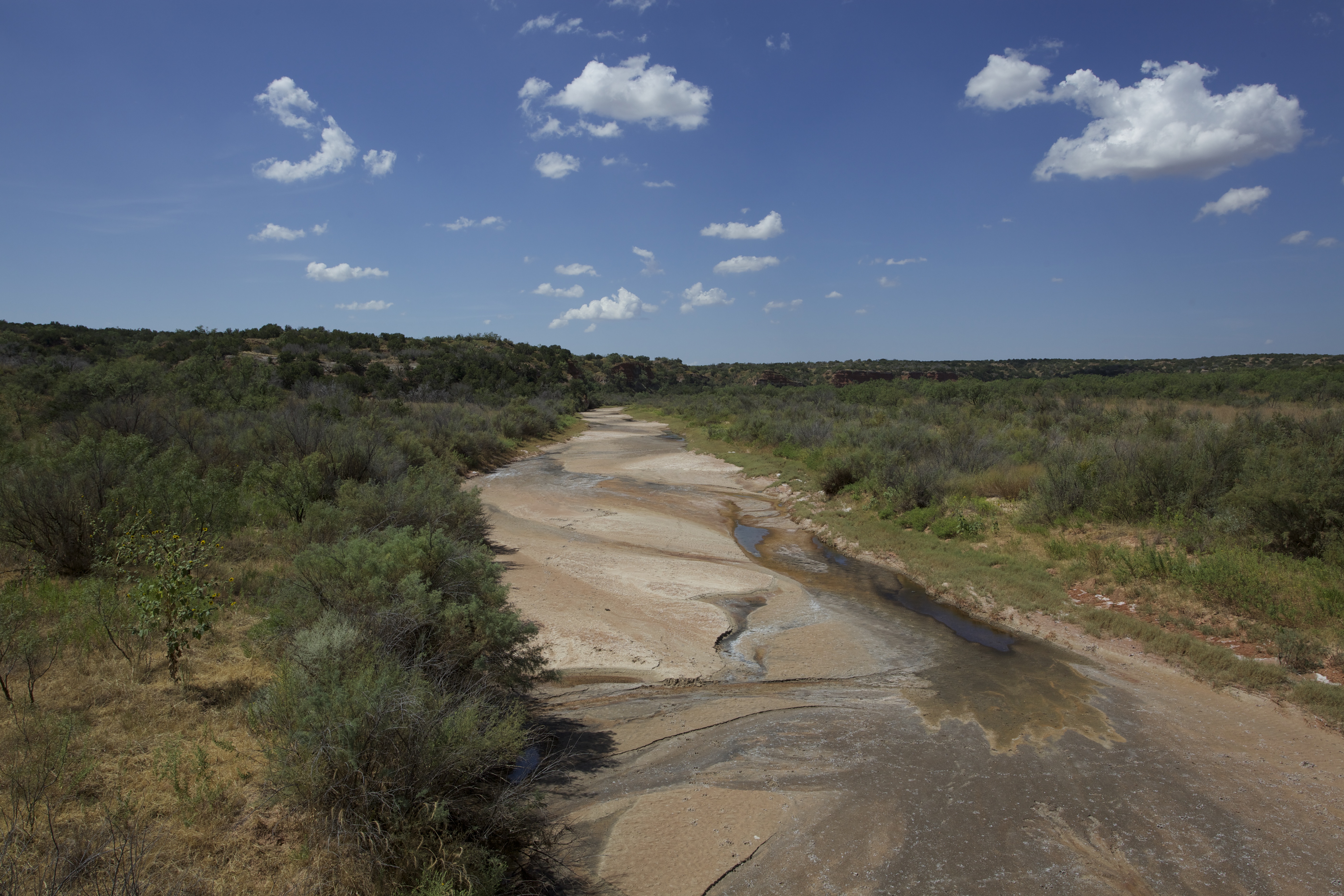
The Salt Fork Brazos River is a braided, highly intermittent stream about long, heading along the edge of the Llano Estacado about east-southeast of Lubbock, Texas. From its source, it flows generally east-southeastward to join the Double Mountain Fork to form the Brazos River about west-northwest of Haskell, Texas.United States Board on Geographical Names. 1964. Decisions on Geographical Names in the United States, Decision list no. 6402, United States Department of the Interior, Washington DC, p. 53. The Salt Fork stretches across portions of Crosby, Garza, Kent, and Stonewall counties of West Texas. Geography The Salt Fork Brazos River begins as a dry channel (draw) near the edge of the Llano Estacado in Crosby County, about southwest of the cotton gin in the small farming community of Cap Rock, Texas. From the edge of the Caprock Escarpment, the stream channel generally runs southeastward across southern Crosby County, passing to the east of Courthouse Mountain an ... [...More Info...] [...Related Items...] OR: [Wikipedia] [Google] [Baidu] |
Quitaque Creek
Quitaque Creek is an intermittent stream about long, originating as a shallow draw on the high plains of the Llano Estacado in Floyd County, Texas, and flowing eastward to join the North Pease River in Motley County, Texas. Geography The upland portion of Quitaque Creek is an ephemeral draw that flows only during heavy rain. Quitaque Creek initially runs southeastward across north-central Floyd County and then drops off the Caprock of the Llano Estacado approximately east of South Plains. The stream then continues in a northeasterly direction across the sparsely populated ranch lands of northeastern Floyd County. After entering Motley County, Quitaque Creek merges with Los Lingos Creek and then turns in a southeasterly direction across northwestern Motley County before merging with the North Pease River, north of Matador. Overall, Quitaque Creek descends from its headwaters to its confluence with the North Pease River, passing through flat to moderately steep terrain along ... [...More Info...] [...Related Items...] OR: [Wikipedia] [Google] [Baidu] |
Pease River
The Pease River is a river in Texas, United States. It is a tributary of the Red River that runs in an easterly direction through West Texas . It was discovered and mapped for the first time in 1856 by Jacob de Córdova, who found the river while surveying for the Galveston, Houston and Henderson Railroad Company; it was named after Texas Governor Elisha M. Pease. In December 1860, the Texas Rangers recaptured Cynthia Ann Parker and her daughter from the Comanche Indians at an engagement along the river. The river begins northeast of Paducah in northern Cottle County and runs eastward for to its mouth on the Red River northeast of Vernon. Its course flows through "flood-prone flat terrain with local shallow depressions, surfaced by sandy and clay loams"; part of it forms the county line between Hardeman and Foard Counties. The river has three main branches, the North Pease, Middle Pease, and Tongue (or South Pease) Rivers; the beginning of the main river is variousl ... [...More Info...] [...Related Items...] OR: [Wikipedia] [Google] [Baidu] |
Little Red River (Texas)
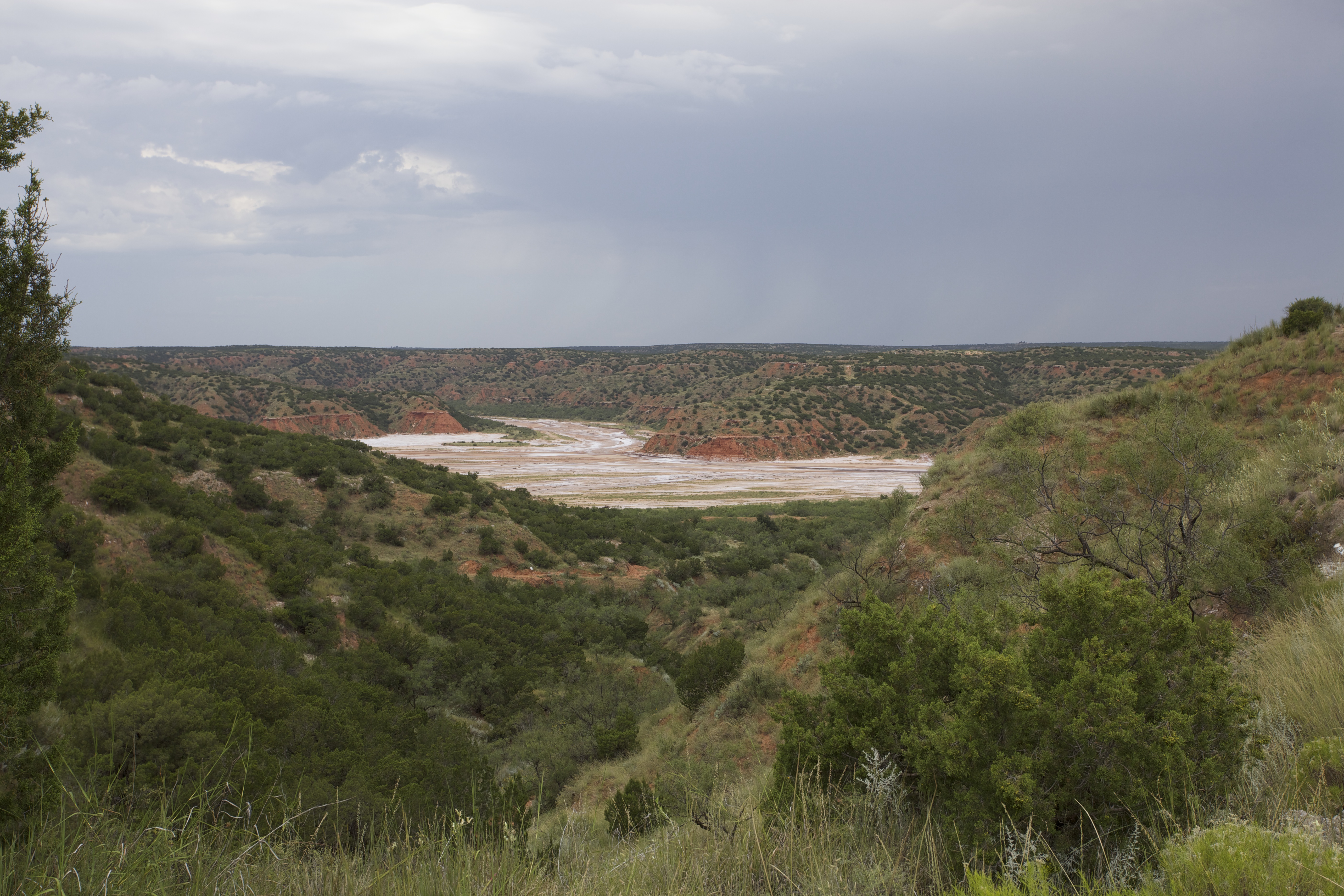
The Little Red River is an intermittent stream about long, formed at the confluence of the North Prong and South Prong Little Red River in Briscoe County, Texas, and flowing east-northeastward to join the Prairie Dog Town Fork Red River in Hall County, Texas. Geography The upper tributaries of the Little Red River are ephemeral streams known as the North Prong and South Prong Red River. Both streams originate along the eastern Caprock Escarpment of the Llano Estacado in Briscoe County, Texas, and flow through Caprock Canyons State Park. The North Prong flows to the north and the South Prong passes to the south of Haynes Ridge, a landmark feature of Caprock Canyons. The North Prong and South Prong merge at a point about north of Quitaque, Texas, to form the Little Red River proper. The Little Red River initially runs eastward across Briscoe County and then turns northeastward as it approaches the Hall County line. The stream then continues in an easterly direction across spa ... [...More Info...] [...Related Items...] OR: [Wikipedia] [Google] [Baidu] |
Battle Of Pease River
The Battle of Pease River occurred on December 18, 1860, near the present-day town of Margaret, Texas in Foard County, Texas, United States. The town is located between Crowell and Vernon within sight of the Medicine Mounds just outside present-day Quanah, Texas. A monument marks the site where a group of Comanche Indians (mostly women and children) were killed by a detachment of Texas Rangers and militia under Ranger Captain "Sul" Ross. The Indian camp was attacked as retaliation against recent Comanche attacks on white settlers. This raid is primarily remembered as the place where Cynthia Ann Parker was recovered from the Comanche who had adopted her after capturing her twenty-four years earlier. Cynthia Ann Parker Cynthia Ann Parker was a woman of European descent who had been kidnapped as a child by the Comanche in the Fort Parker massacre in 1836. The nine-year-old Parker had grown up among the Comanche, who called her "Nadua". She had married war chief Peta Nocona a ... [...More Info...] [...Related Items...] OR: [Wikipedia] [Google] [Baidu] |
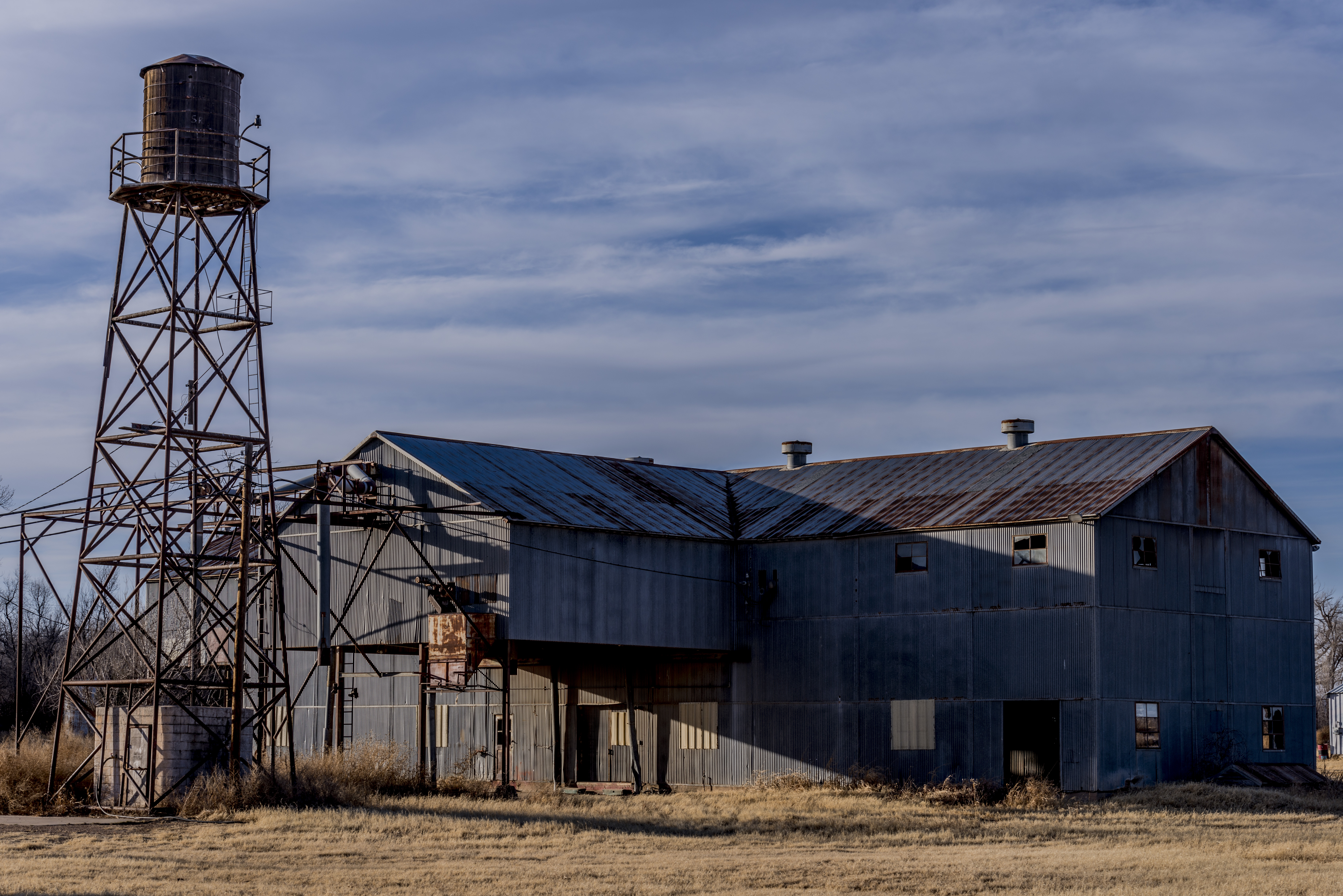
2018 Afton Gin
Eighteen or 18 may refer to: * 18 (number), the natural number following 17 and preceding 19 * one of the years 18 BC, AD 18, 1918, 2018 Film, television and entertainment * ''18'' (film), a 1993 Taiwanese experimental film based on the short story ''God's Dice'' * ''Eighteen'' (film), a 2005 Canadian dramatic feature film * 18 (British Board of Film Classification), a film rating in the United Kingdom, also used in Ireland by the Irish Film Classification Office * 18 (''Dragon Ball''), a character in the ''Dragon Ball'' franchise * "Eighteen", a 2006 episode of the animated television series ''12 oz. Mouse'' Music Albums * ''18'' (Moby album), 2002 * ''18'' (Nana Kitade album), 2005 * '' 18...'', 2009 debut album by G.E.M. Songs * "18" (5 Seconds of Summer song), from their 2014 eponymous debut album * "18" (One Direction song), from their 2014 studio album ''Four'' * "18", by Anarbor from their 2013 studio album ''Burnout'' * "I'm Eighteen", by Alice Cooper commonly re ... [...More Info...] [...Related Items...] OR: [Wikipedia] [Google] [Baidu] |
Patton Springs Independent School District
Patton Springs Independent School District is a public school district based in the community of Afton, Texas, United States. In addition to Afton, the district serves a portion of Dickens and rural areas in northeastern Dickens County. Patton Springs ISD has one school that serves students in prekindergarten through grade 12. Academic achievement In 2009, the school district was rated " exemplary" by the Texas Education Agency. Special programs Athletics Patton Springs High School plays six-man football. See also *List of school districts in Texas This is a list of school districts in Texas, sorted by Region and County. Geographical school districts in Texas are (with one exception, the Stafford Municipal School District) completely independent from city or county jurisdiction. Texas sch ... References External linksPatton Springs ISD School districts in Dickens County, Texas {{Texas-school-district-stub ... [...More Info...] [...Related Items...] OR: [Wikipedia] [Google] [Baidu] |
Dickens County, Texas
Dickens County is a county located in the U.S. state of Texas. As of the 2020 census, its population was 1,770. Its county seat is Dickens. The county was created in 1876 and later organized in 1891. Both the county and its seat are named for J. Dickens, who died at the Battle of the Alamo. The Pitchfork Ranch is in Dickens and adjacent King County. It was managed from 1965 to 1986 by Jim Humphreys, who was also affiliated with the National Ranching Heritage Center in Lubbock. The Matador Ranch, based in Motley County, once reached into Dickens County. Geography According to the U.S. Census Bureau, the county has a total area of , of which are land and (0.4%) are covered by water. Major highways * U.S. Highway 82 / State Highway 114 * State Highway 70 * State Highway 208 Adjacent counties * Motley County (north) * King County (east) * Kent County (south) * Crosby County (west) * Garza County (southwest) * Floyd County (northwest) * Cottle County (northeast) ... [...More Info...] [...Related Items...] OR: [Wikipedia] [Google] [Baidu] |


