|
Abnoba
Abnoba is a name with theological and geographical meanings: It is the name of a Gaulish goddess who was worshiped in the Black Forest and surrounding areas. It is also the name of a mountain or mountain range. Etymology The etymology of the theonym is uncertain. It has been associated with the etymon *''abo-s'' "water, river", found in e.g. Avon (''*abonā''). The second element has been connected to either a PIE *''nogʷo-'', either "naked, nude" or "tree", or with the verbal root *''nebh-'' "burst out, be damp". Celtic polytheism Abnoba has been interpreted to be a forest and river goddess, and is known from about nine epigraphic inscriptions. One altar at the Roman baths at Badenweiler, Germany, and another at :de:Mühlenbach (Schwarzwald), Mühlenbach identify her with Diana (goddess), Diana, the Roman mythology, Roman goddess of the hunt. Geography Abnoba, sometimes spelt Arnoba or Arbona, has been used to refer to a mountain range comprising the Odenwald, Spessart, and B ... [...More Info...] [...Related Items...] OR: [Wikipedia] [Google] [Baidu] |
Diana (goddess)
Diana is a goddess in Roman and Hellenistic religion, primarily considered a patroness of the countryside, hunters, crossroads, and the Moon. She is equated with the Greek goddess Artemis, and absorbed much of Artemis' mythology early in Roman history, including a birth on the island of Delos to parents Jupiter and Latona, and a twin brother, Apollo,''Larousse Desk Reference Encyclopedia'', The Book People, Haydock, 1995, p. 215. though she had an independent origin in Italy. Diana is considered a virgin goddess and protector of childbirth. Historically, Diana made up a triad with two other Roman deities: Egeria the water nymph, her servant and assistant midwife; and Virbius, the woodland god. Diana is revered in modern neopagan religions including Roman neopaganism, Stregheria, and Wicca. In the ancient, medieval, and modern periods, Diana has been considered a triple deity, merged with a goddess of the moon (Luna/Selene) and the underworld (usually Hecate).Green, C. M. C ... [...More Info...] [...Related Items...] OR: [Wikipedia] [Google] [Baidu] |
Black Forest
The Black Forest (german: Schwarzwald ) is a large forested mountain range in the state of Baden-Württemberg in southwest Germany, bounded by the Rhine Valley to the west and south and close to the borders with France and Switzerland. It is the source of the Danube and Neckar rivers. Its highest peak is the Feldberg with an elevation of above sea level. Roughly oblong in shape, with a length of and breadth of up to , it has an area of about 6,009 km2 (2,320 sq mi). Historically, the area was known for forestry and the mining of ore deposits, but tourism has now become the primary industry, accounting for around 300,000 jobs. There are several ruined military fortifications dating back to the 17th century. History In ancient times, the Black Forest was known as , after the Celtic deity, Abnoba. In Roman times (Late antiquity), it was given the name ("Marcynian Forest", from the Germanic word ''marka'' = "border"). The Black Forest probably represented the bo ... [...More Info...] [...Related Items...] OR: [Wikipedia] [Google] [Baidu] |
Brigach
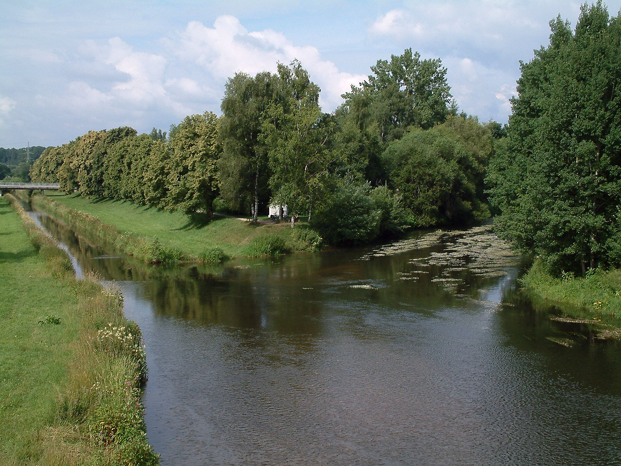
The Brigach is the shorter of two streams that jointly form the river Danube in Baden-Württemberg, Germany. The Brigach has its source at above sea level within St. Georgen in the Black Forest. The Brigach crosses the city Villingen-Schwenningen. from the source, the Brigach joins the Breg in Donaueschingen to form the Danube River. Name The name Brigach is of Celtic origin and means ''"light coloured, pure water"''. A relief found here points to the goddess, Abnoba.Wolfdieter Gramlich: Steinernes Zeugnis vergangener Zeit.' In: ''Südkurier'', 12 July 2012 Geography Sources One source of the Brigach is impounded in the cellar of a farmhouse in the upper valley near the village of Brigach and may be visited by the public. On the official state water map the Brigach begins, however, at a height of about somewhat below a small pond near this farm in the borough of Sankt Georgen im Schwarzwald. Course The Brigach flows initially along a gently descending course and ... [...More Info...] [...Related Items...] OR: [Wikipedia] [Google] [Baidu] |
Neckar
The Neckar () is a river in Germany, mainly flowing through the southwestern state of Baden-Württemberg, with a short section through Hesse. The Neckar is a major right tributary of the Rhine. Rising in the Schwarzwald-Baar-Kreis near Schwenningen in the ''Schwenninger Moos'' conservation area at a height of above sea level, it passes through Rottweil, Rottenburg am Neckar, Kilchberg, Tübingen, Wernau, Nürtingen, Plochingen, Esslingen, Stuttgart, Ludwigsburg, Marbach, Heilbronn and Heidelberg, before discharging on average of water into the Rhine at Mannheim, at above sea level, making the Neckar its 4th largest tributary, and the 10th largest river in Germany. Since 1968, the Neckar has been navigable for cargo ships via 27 locks for about upstream from Mannheim to the river port of Plochingen, at the confluence with the Fils. From Plochingen to Stuttgart, the Neckar valley is densely populated and heavily industrialised, with several well-known companies. Between ... [...More Info...] [...Related Items...] OR: [Wikipedia] [Google] [Baidu] |
Furtwangen Im Schwarzwald
Furtwangen im Schwarzwald (; Low Alemannic: ''Furtwange im Schwarzwald'') is a small city located in the Black Forest region of southwestern Germany. Together with Villingen-Schwenningen, Furtwangen is part of the district (German: Kreis) of Schwarzwald-Baar. Geography Furtwangen is located in the Southern Black Forest Nature Park in the Southeastern Black Forest, around 25 kilometers west of the district town of Villingen-Schwenningen and around 27 kilometers northeast of Freiburg. Furtwangen is the highest town in Baden-Württemberg. Between 850 m and 1,150 m above sea level, it lies in the upper Bregtal of the Central Black Forest in the headwaters of the Danube. The Breg is a small stream which, coming from the mountainous areas around Furtwangen, flows down through the inner city to the east. The Breg is one of the two little rivers which unite to form the river Danube. The population of Furtwangen comprises around 10,000 inhabitants (as of 2016/17). History Furtwan ... [...More Info...] [...Related Items...] OR: [Wikipedia] [Google] [Baidu] |
Swabian Alb
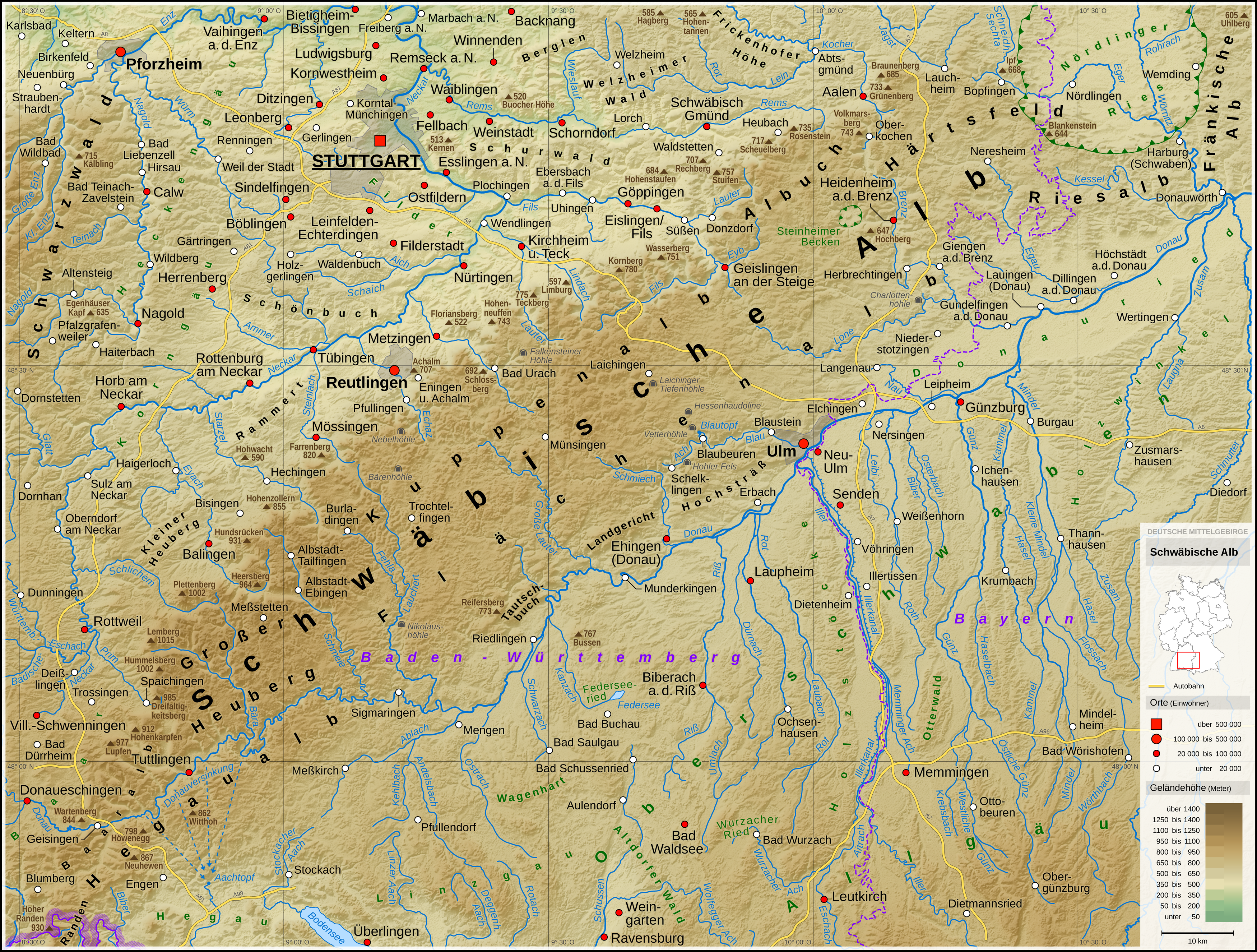
The Swabian Jura (german: Schwäbische Alb , more rarely ), sometimes also named Swabian Alps in English, is a mountain range in Baden-Württemberg, Germany, extending from southwest to northeast and in width. It is named after the region of Swabia. The Swabian Jura occupies the region bounded by the Danube in the southeast and the upper Neckar in the northwest. In the southwest it rises to the higher mountains of the Black Forest. The highest mountain of the region is the Lemberg (). The area's profile resembles a high plateau, which slowly falls away to the southeast. The northwestern edge is a steep escarpment (called the Albtrauf or Albanstieg, rising up , covered with forests), while the top is flat or gently rolling. In economic and cultural terms, the Swabian Jura includes regions just around the mountain range. It is a popular recreation area. Geology The geology of the Swabian Jura is mostly limestone, which formed the seabed during the Jurassic period. The sea r ... [...More Info...] [...Related Items...] OR: [Wikipedia] [Google] [Baidu] |
Breg River
The Breg is a river, 46 kilometres long, in Baden-Württemberg, Germany, and the primary headstream of the Danube. Description The '' Breg '' is the longest and biggest headstream of the River Danube. It flows through the southeast part of the Middle Black Forest and the lowlands of the Baar region. The Breg rises at a height of , six kilometres northwest of Furtwangen. Its source, which is near St. Martin's Chapel and is also called the source of the Danube or ''Donauquelle'', is protected as a natural monument. It is located about 100 metres south-east of the Rhine / Danube watershed (the great European Watershed). Beyond that, but only about 900 metres away is the source of the Elz, which flows in the same longitudinal valley but initially in the opposite direction, to the north, and later flows into the Rhine. In its upper section, known as the ''Katzensteig'', the Breg valley is clearly a result of glaciation, with a strikingly low gradient and landscape characterized ... [...More Info...] [...Related Items...] OR: [Wikipedia] [Google] [Baidu] |
Switzerland
). Swiss law does not designate a ''capital'' as such, but the federal parliament and government are installed in Bern, while other federal institutions, such as the federal courts, are in other cities (Bellinzona, Lausanne, Luzern, Neuchâtel, St. Gallen a.o.). , coordinates = , largest_city = Zürich , official_languages = , englishmotto = "One for all, all for one" , religion_year = 2020 , religion_ref = , religion = , demonym = , german: Schweizer/Schweizerin, french: Suisse/Suissesse, it, svizzero/svizzera or , rm, Svizzer/Svizra , government_type = Federalism, Federal assembly-independent Directorial system, directorial republic with elements of a direct democracy , leader_title1 = Federal Council (Switzerland), Federal Council , leader_name1 = , leader_title2 = , leader_name2 = Walter Thurnherr , legislature = Fe ... [...More Info...] [...Related Items...] OR: [Wikipedia] [Google] [Baidu] |
Basel-Landschaft
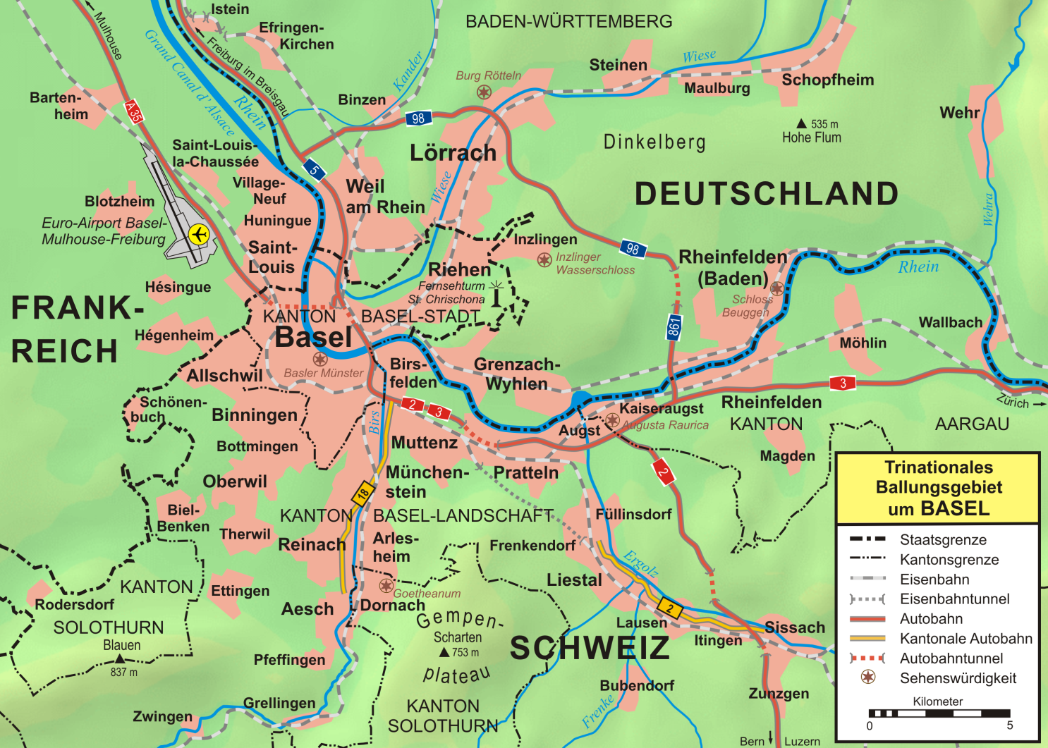
Basel-Landschaft or Basel-Country informally known as Baselland or Baselbiet (; german: Kanton Basel-Landschaft ; rm, Chantun Basilea-Champagna; french: Canton de Bâle-Campagne; it, Canton Basilea Campagna), is one of the 26 cantons forming the Swiss Confederation. It is composed of five districts and its capital city is Liestal. It is traditionally considered a " half-canton", the other half being Basel-Stadt, its urban counterpart. Basel-Landschaft is one of the northernmost cantons of Switzerland. It lies essentially south of the Rhine and north of the Jura Mountains. The canton shares borders with the canton of Basel-Stadt to the north, the canton of Aargau to the east, the canton of Solothurn to the south and the canton of Jura to the west. It shares international borders as well with France and Germany to the north. Together with Basel-Stadt, Basel-Landschaft was part of the canton of Basel, who joined the Old Swiss Confederacy in 1501. Political quarrels and armed c ... [...More Info...] [...Related Items...] OR: [Wikipedia] [Google] [Baidu] |
Augst
Augst ( Swiss German: ''Augscht'') is a municipality in the district of Liestal in the canton of Basel-Country in Switzerland. It was known as Augusta Raurica in Roman times. History Augst is first mentioned in 615 as ''Augustodunensem praesulem''. In 752 it was mentioned as ''Augusta'' and in 1288 as ''Augst''. Geography Augst has an area, , of . Of this area, or 34.8% is used for agricultural purposes, while or 6.7% is forested. Of the rest of the land, or 40.2% is settled (buildings or roads), or 17.1% is either rivers or lakes.Swiss Federal Statistical Office-Land Use Statistics 2009 data accessed 25 March 2010 Of the built up area, industrial buildings made up 6.1% of the total area while housing and buildings made up 11.0% and transp ... [...More Info...] [...Related Items...] OR: [Wikipedia] [Google] [Baidu] |
Pliny The Elder
Gaius Plinius Secundus (AD 23/2479), called Pliny the Elder (), was a Roman author, naturalist and natural philosopher, and naval and army commander of the early Roman Empire, and a friend of the emperor Vespasian. He wrote the encyclopedic ''Naturalis Historia'' (''Natural History''), which became an editorial model for encyclopedias. He spent most of his spare time studying, writing, and investigating natural and geographic phenomena in the field. His nephew, Pliny the Younger, wrote of him in a letter to the historian Tacitus: Among Pliny's greatest works was the twenty-volume work ''Bella Germaniae'' ("The History of the German Wars"), which is no longer extant. ''Bella Germaniae'', which began where Aufidius Bassus' ''Libri Belli Germanici'' ("The War with the Germans") left off, was used as a source by other prominent Roman historians, including Plutarch, Tacitus and Suetonius. Tacitus—who many scholars agree had never travelled in Germania—used ''Bella Germani ... [...More Info...] [...Related Items...] OR: [Wikipedia] [Google] [Baidu] |


