|
A350 Road (Great Britain)
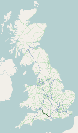
The A350 is a north–south primary route in southern England, that runs from the M4 motorway in Wiltshire to Poole in Dorset. Route Starting at junction 17 of the M4 motorway north of Chippenham, the first three miles are a dual carriageway to the northern outskirts of Chippenham, where a partly light-controlled roundabout splits traffic between the bypass section and the road into the town centre. The Chippenham bypass is punctuated by six more roundabouts, the last being at the Lackham College. In so doing it crosses the A420 to Bristol and the A4 for Bath to the West and Calne to the East. It then goes past the small village of Lacock before reaching Melksham four miles later. The road then follows the Semington bypass, opened in 2004, to Westbury, crossing the A361 between Trowbridge and Devizes. This section of the road has two light-controlled junctions to connect the road to outlying areas of Trowbridge before reaching the Yarnbrook roundabout. This section is approxima ... [...More Info...] [...Related Items...] OR: [Wikipedia] [Google] [Baidu] |
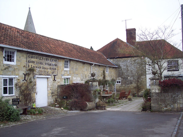
Hindon, Wiltshire
Hindon is a village and civil parish in Wiltshire, England, about west of Salisbury and south of Warminster. It is in the Cranborne Chase and West Wiltshire Downs Area of Outstanding Natural Beauty. Hindon was a market town but is now a village. History Hindon is a planned settlement, unlike most English villages which have evolved piecemeal over the millennia. If previous settlement in the area was present, no evidence within the village itself has yet been discovered. There are prehistoric field systems and Bronze Age round barrows on the downs nearby. According to the Estates' Account Rolls of the Bishop of Winchester, Bishop Peter des Roches of Winchester planned the borough as a centre for markets and fairs in 1218; at that time the land was part of East Knoyle parish. The main period of building was between 1218 and 1220 and even today, the medieval settlement pattern can be seen: the main tenements flanked either side of the High Street, with narrow burgage plots ... [...More Info...] [...Related Items...] OR: [Wikipedia] [Google] [Baidu] |
Bath, Somerset
Bath () is a city in the Bath and North East Somerset unitary area in the county of Somerset, England, known for and named after its Roman-built baths. At the 2021 Census, the population was 101,557. Bath is in the valley of the River Avon, west of London and southeast of Bristol. The city became a World Heritage Site in 1987, and was later added to the transnational World Heritage Site known as the "Great Spa Towns of Europe" in 2021. Bath is also the largest city and settlement in Somerset. The city became a spa with the Latin name ' ("the waters of Sulis") 60 AD when the Romans built baths and a temple in the valley of the River Avon, although hot springs were known even before then. Bath Abbey was founded in the 7th century and became a religious centre; the building was rebuilt in the 12th and 16th centuries. In the 17th century, claims were made for the curative properties of water from the springs, and Bath became popular as a spa town in the Georgian era. ... [...More Info...] [...Related Items...] OR: [Wikipedia] [Google] [Baidu] |
Compton Abbas
Compton Abbas is a village and civil parish in north Dorset, England. It lies south of the town of Shaftesbury. It is sited on greensand strata on the edge of the Blackmore Vale, below the chalk downs of Cranborne Chase. On top of these hills is Compton Abbas Airfield. The A350 road between Wiltshire and the south coast passes through the village. In the 2011 census the civil parish had a population of 216. The name ''Compton Abbas'' derives from the Saxon "cumb-ton", meaning 'village in a narrow valley', plus "abbas" which refers to Shaftesbury Abbey (the land was owned by the abbess). The church, St. Mary's, was built in 1866 to replace the older structure which was more remote from the village. The tower of the Church of St Mary in East Compton is a Grade I listed In the United Kingdom, a listed building or listed structure is one that has been placed on one of the four statutory lists maintained by Historic England in England, Historic Environment Scotland in Scotla ... [...More Info...] [...Related Items...] OR: [Wikipedia] [Google] [Baidu] |
Cann, Dorset
Cann is a village and civil parish in the county of Dorset in southern England. It is situated on the A350 road in the North Dorset administrative district, south of Shaftesbury. The civil parish covers and has an underlying geology of Kimmeridge clay, greensand Greensand or green sand is a sand or sandstone which has a greenish color. This term is specifically applied to shallow marine sediment that contains noticeable quantities of rounded greenish grains. These grains are called ''glauconies'' and co ... and gault clay. In the 2011 census the parish—which includes HM Prison Guys Marsh—had a population of 822. References External links Villages in Dorset Civil parishes in Dorset {{Dorset-geo-stub ... [...More Info...] [...Related Items...] OR: [Wikipedia] [Google] [Baidu] |
Longbridge Deverill
Longbridge Deverill is a village and civil parish about south of Warminster in Wiltshire, England. It is on the A350 primary route which connects the M4 motorway and west Wiltshire with Poole, Dorset. The parish is in the Deverill valley which carries the upper waters of the River Wylye. It includes the small village of Crockerton and the hamlets of Crockerton Green, Fox Holes and Hill Deverill; these settlements are collectively known as the Lower Deverills (the Upper Deverills being the upstream villages of Brixton Deverill, Monkton Deverill and Kingston Deverill). An unnamed tributary of the Wylye rises in the northwest of the parish, forms the man-made Shearwater lake, and flows east through the valley below Crockerton to join the Wylye. History Evidence of Neolithic settlement includes a henge near Long Ivor Farm in the northeast of the parish. A Bronze Age bell barrow stands on a slope of Rook Hill in the southeast. Iron Age settlements include a site on high ground a ... [...More Info...] [...Related Items...] OR: [Wikipedia] [Google] [Baidu] |
Salisbury
Salisbury ( ) is a cathedral city in Wiltshire, England with a population of 41,820, at the confluence of the rivers Avon, Nadder and Bourne. The city is approximately from Southampton and from Bath. Salisbury is in the southeast of Wiltshire, near the edge of Salisbury Plain. Salisbury Cathedral was formerly north of the city at Old Sarum. The cathedral was relocated and a settlement grew up around it, which received a city charter in 1227 as . This continued to be its official name until 2009, when Salisbury City Council was established. Salisbury railway station is an interchange between the West of England Main Line and the Wessex Main Line. Stonehenge is a UNESCO World Heritage Site and is northwest of Salisbury. Name The name ''Salisbury'', which is first recorded around the year 900 as ''Searoburg'' ( dative ''Searobyrig''), is a partial translation of the Roman Celtic name ''Sorbiodūnum''. The Brittonic suffix ''-dūnon'', meaning "fortress" (in reference ... [...More Info...] [...Related Items...] OR: [Wikipedia] [Google] [Baidu] |
A36 Road
The A36 is a trunk road and primary route in southwest England that links the port city of Southampton to the city of Bath. At Bath, the A36 connects with the A4 to Bristol, thus providing a road link between the major ports of Southampton and Bristol. It also provides a link between Bristol and London via the A303. Route Originally, the A36 continued to Avonmouth, beyond Bristol, but this section was renumbered to the A4. Within Bath the A36 acts as a ring road on the southern side of the river, from the junction with the A4 at Newbridge to the west of the city. From here traffic can continue to Bristol on the A4 or to Wells and Weston-super-Mare via the A39 and A368 roads. Another link to the A4 on the eastern side at Cleveland Bridge, which provides a route to the M4 motorway via the A46, is highly congested. The A36 leaves Bath in an easterly direction towards Bathampton, then turns south to follow the Avon through its steep-sided valley, climbing out of the val ... [...More Info...] [...Related Items...] OR: [Wikipedia] [Google] [Baidu] |
Westbury, Wiltshire
Westbury is a town and civil parish in the west of the English county of Wiltshire, below the northwestern edge of Salisbury Plain, about south of Trowbridge and a similar distance north of Warminster. Originally a market town, Westbury was known for the annual Hill Fair where many sheep were sold in the 18th and 19th centuries; later growth came from the town's position at the intersection of two railway lines. The busy A350, which connects the M4 motorway with the south coast, passes through the town. The urban area has expanded to include the village of Westbury Leigh and the hamlets of Chalford and Frogmore. History A Romano-British settlement was found at The Ham, in the north of the parish, in the 1870s. The manor of Westbury, and the hundred with the same boundaries, was held by the king at the time of the Domesday survey in 1086. The Wiltshire Victoria County History recounts the fragmentation into manors, and traces their ownership. The ancient parish included B ... [...More Info...] [...Related Items...] OR: [Wikipedia] [Google] [Baidu] |
Yarnbrook
Yarnbrook is a large hamlet in Wiltshire, England, between the towns of Westbury and Trowbridge. Most of it lies in the civil parish of North Bradley, the rest in West Ashton. Most of the settlement's houses stand on the A350 road, which runs between the M4 motorway near Chippenham and the south coast of England at Poole, Dorset. History Yarnbrook has never been a parish in its own right, but the name dates from at least the 16th century. In 1581 the Will of Agnes Guley, widow of Yarnbrook in North Bradley, was proved at Salisbury. In the Middle Ages Yarnbrook was within Selwood Forest, and the ancient woodland called Picket Wood which stands to the east of the present-day settlement is one of the few surviving areas of Selwood.Elizabeth Crittall, ed., 'North Bradley' in '' The Victoria History of Wiltshire, vol. VIII, Warminster, Westbury and Whorwellsdown Hundreds'' (University of London: Institute of Historical Research, 1965)pp. 218-234/ref> The first edition of the Andrews ... [...More Info...] [...Related Items...] OR: [Wikipedia] [Google] [Baidu] |
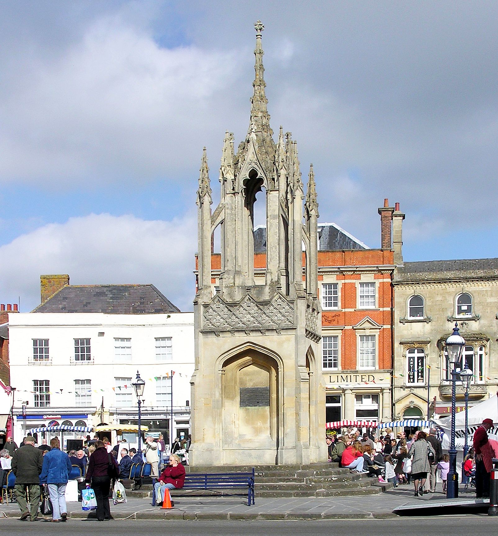
Devizes
Devizes is a market town and civil parish in Wiltshire, England. It developed around Devizes Castle, an 11th-century Norman architecture, Norman castle, and received a charter in 1141. The castle was besieged during the Anarchy, a 12th-century civil war between Stephen of England and Empress Matilda, and again during the English Civil War when the Cavaliers lifted the siege at the Battle of Roundway Down. Devizes remained under Royalist control until 1645, when Oliver Cromwell attacked and forced the Royalists to surrender. The castle was Slighting, destroyed in 1648 on the orders of Parliament, and today little remains of it. From the 16th century Devizes became known for its textiles, and by the early 18th century it held the largest corn market in the West Country, constructing the Corn Exchange in 1857. In the 18th century, brewing, curing of tobacco, and Snuff (tobacco), snuff-making were established. The Wadworth Brewery was founded in the town in 1875. Standing at the w ... [...More Info...] [...Related Items...] OR: [Wikipedia] [Google] [Baidu] |
A361 Road
The A361 is an A class road in southern England, which at is the longest three-digit A road in the UK. History When first designated in 1922, the A361 ran from Taunton (Somerset) to Banbury (Oxfordshire). It was later extended west through Bampton to South Molton (Devon), on the route of the former A398, and from South Molton to Barnstaple and Ilfracombe, previously part of the route of the A373. In 1988, when the North Devon Link Road was opened, the A361 was switched to its present route. The old route from Taunton through Bampton to South Molton was downgraded to become the B3227. In the 1970s the route was extended north from Banbury to Daventry (Northamptonshire), providing a link to the M1 motorway near Crick. Route Devon The road starts in Ilfracombe as part of the town's High Street, and is mostly single carriageway. The road passes through the villages of Knowle and Braunton, before becoming dual carriageway standard at Ashford, which continues for the short di ... [...More Info...] [...Related Items...] OR: [Wikipedia] [Google] [Baidu] |
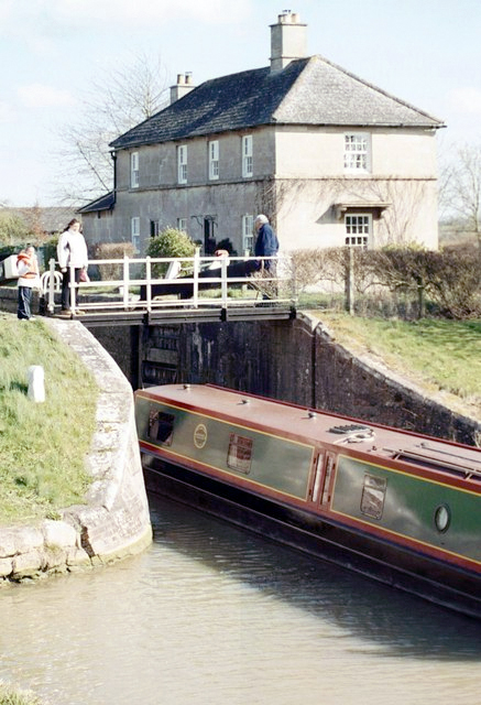
Semington
Semington is a village and civil parish in Wiltshire, England. The village is about south of Melksham and about northeast of Trowbridge. The parish includes the hamlets of Little Marsh and Littleton.election-maps.co.uk Semington Civil Parish boundary on Ordnance Survey 1:50,000 colour raster layer. Retrieved 23 October 2006. The village has two on the Kennet and Avon Canal, known as the , and nearby is the start of the disused |


