|
Ayrens
Ayrens is a commune in the Cantal department in the Auvergne-Rhône-Alpes region of south-central France. The inhabitants of the commune are known as ''Ayrencois'' or ''Ayrencoises''. Geography Ayrens is located some 15 km north-west of Aurillac and 5 km north of Saint-Paul-des-Landes. Access to the commune is by road D52 from Teissières-de-Cornet in the south-east which passes through the village and continues west then south to join the D120 north-east of Laroquebrou. The D53 comes from Saint-Paul-des-Landes in the south and also passes through the village before continuing north-east to join the D6 near the border of the commune. The D352 goes north from the village to join the D53 north of the commune. Apart from the village there are the hamlets of: *Les Baraques *Le Bos Niac *Boutonnet *Cels *Ciels *Colin *La Croix-Longue *Jammes *Le Mont *Renac *Selves *Serieys *Tannuies *La Tronque The commune is mainly farmland with extensive forests in the northern part. ... [...More Info...] [...Related Items...] OR: [Wikipedia] [Google] [Baidu] |
Méridienne Verte
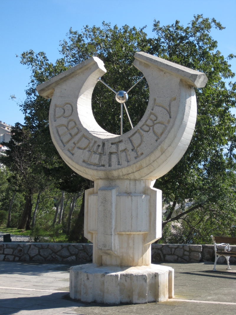
The ''Méridienne verte'' (Green Meridian) is a project devised by the architect Paul Chemetov for the 2000 celebration in France. It involved marking on the ground the Paris Meridian crossing France from North to South (from Dunkerque in Nord-Pas-de-Calais to Prats-de-Mollo-la-Preste in Pyrénées-Orientales) by planting trees along the whole line.Paul Murdin, ''Full Meridian of Glory: Perilous Adventures in the Competition to Measure the Earth'', page 4 (Copernicus Books, 2009). On 14 July (Bastille Day) 2000, a picnic was organised along the length of the Méridienne verte. For the occasion, the imaginary line was marked in the sky above Paris by two lasers, located on the Observatory, whose centre defines the longitude of the meridian, and the nearby Senate, also on the line. With a diameter of 4 m and a reach of 1.3 km, their coloured beams lit up the 6th and 14th arrondissements of Paris for three consecutive nights, from 13 to 15 July. At the intersection of the M ... [...More Info...] [...Related Items...] OR: [Wikipedia] [Google] [Baidu] |
Troubadour Style
Taking its name from medieval troubadours, the Troubadour Style (french: Style troubadour) is a rather derisive term, in English usually applied to French historical painting of the early 19th century with idealised depictions of the Middle Ages and the Renaissance. In French it also refers to the equivalent architectural styles. It can be seen as an aspect of Romanticism and a reaction against Neoclassicism, which was coming to an end at the end of the Consulate, and became particularly associated with Josephine Bonaparte and Caroline Ferdinande Louise, duchesse de Berry. In architecture the style was an exuberant French equivalent to the Gothic Revival of the Germanic and Anglophone countries. The style related to contemporary developments in French literature, and music, but the term is usually restricted to painting and architecture. History The rediscovery of medieval civilization was one of the intellectual curiosities of the beginning of the 19th century, with much i ... [...More Info...] [...Related Items...] OR: [Wikipedia] [Google] [Baidu] |
Château De Clavières
Château de Clavières The Château de Clavières was a château in Ayrens, a ''commune'' in the Cantal ''département'' in the Auvergne region of France. History The Château de Clavières burnt down on 25 May 1936 and was left in ruins, which after the recent sale of the site are no longer accessible. It was owned in the 19th and early 20th centuries by the Duc de la Salle de Rochemaure, a félibrige The ''Félibrige'' (; in classical Occitan, in Mistralian spelling, ) is a literary and cultural association founded in 1854 by Frédéric Mistral and other Provençal writers to defend and promote the Occitan language (also called the ) and ... writer. Marcellin Boudet. ''Nécrologie du Duc de la Salle de Rochemaure'', 1915, in RHA, p.60. Notes External links *''Château de Clavières''*Félibrée de Sceaux dimanche 3 juin 2007 intervention de Roger Vidal Châteaux in Cantal Ruined castles in Auvergne-Rhône-Alpes Gothic Revival architecture in France Former ... [...More Info...] [...Related Items...] OR: [Wikipedia] [Google] [Baidu] |
Cantal
Cantal (; oc, Cantal or ) is a department in the Auvergne-Rhône-Alpes region of France, with its prefecture in Aurillac. Its other principal towns are Saint-Flour (the episcopal see) and Mauriac; its residents are known as Cantalians (french: link=no, Cantaliens / Cantaliennes or '). Cantal borders the departments of Puy-de-Dôme, Haute-Loire, Aveyron, Lot, Lozère and Corrèze, in the Massif Central natural region. Along with neighbouring Lozère and Creuse, Cantal is among the most sparsely populated and geographically isolated departments of France and Aurillac is the departmental capital farthest removed from a major motorway. It had a population of 144,692 in 2019,Populations légales 2019: 15 Cantal INSEE making it the country's 98th most populated department. Of the 96 me ... [...More Info...] [...Related Items...] OR: [Wikipedia] [Google] [Baidu] |
Communes Of The Cantal Department
The following is a list of the 246 communes of the Cantal department of France. Intercommunalities The communes cooperate in the following intercommunalities (as of 2020):BANATIC Périmètre des EPCI à fiscalité propre. Accessed 3 July 2020. * (CABA) * (CCCGC) Communauté de communes de Cère et Goul en Carladès * (CCCC) [...More Info...] [...Related Items...] OR: [Wikipedia] [Google] [Baidu] |
Communauté D'agglomération Du Bassin D'Aurillac
The Communauté d'agglomération du Bassin d'Aurillac (CABA) is the ''communauté d'agglomération'', an intercommunal structure, centred on the city of Aurillac. It is located in the Cantal department, in the Auvergne-Rhône-Alpes region, south-central France. It was created in 1999 and came into effect on 1 January 2000. Its area is 491.9 km2. Its population was 53,247 in 2018, including 25,531 in Aurillac proper.Comparateur de territoire INSEE, accessed 5 April 2022. Composition The CABA consists of 25 communes: # # |
Communes Of France
The () is a level of administrative division in the French Republic. French are analogous to civil townships and incorporated municipalities in the United States and Canada, ' in Germany, ' in Italy, or ' in Spain. The United Kingdom's equivalent are civil parishes, although some areas, particularly urban areas, are unparished. are based on historical geographic communities or villages and are vested with significant powers to manage the populations and land of the geographic area covered. The are the fourth-level administrative divisions of France. vary widely in size and area, from large sprawling cities with millions of inhabitants like Paris, to small hamlets with only a handful of inhabitants. typically are based on pre-existing villages and facilitate local governance. All have names, but not all named geographic areas or groups of people residing together are ( or ), the difference residing in the lack of administrative powers. Except for the municipal arr ... [...More Info...] [...Related Items...] OR: [Wikipedia] [Google] [Baidu] |
45th Parallel North
The 45th parallel north is a circle of latitude that is 45 degrees north of Earth's equator. It crosses Europe, Asia, the Pacific Ocean, North America, and the Atlantic Ocean. The 45th parallel north is often called the halfway point between the equator and the North Pole, but the true halfway point is north of it (approximately between 45°08'36" and 45°08'37") because Earth is an oblate spheroid; that is, it bulges at the equator and is flattened at the poles. At this latitude, the sun is visible for 15 hours 37 minutes during the summer solstice, and 8 hours 46 minutes during the winter solstice. The midday Sun stands 21.6° above the southern horizon at the December solstice, 68.4° at the June solstice, and exactly 45.0° at either equinox. Around the world Starting at the Prime Meridian and heading eastwards, the parallel 45° north passes through: : Europe In Europe the 45th parallel hits the Bay of Biscay coast of France in the west. It crosses the river R ... [...More Info...] [...Related Items...] OR: [Wikipedia] [Google] [Baidu] |
Auvergne (province)
The history of the Auvergne dates back to the early Middle Ages, when it was a historic province in south central France. It was originally the feudal domain of the Counts of Auvergne. History Auvergne was a province of France deriving its name from the ''Arverni'', a Gallic tribe who once occupied the area, well known for its fierce resistance, led by Vercingetorix, to conquest by Julius Caesar and the late Roman Republic. Christianized by Saint Austremoine, Auvergne was quite prosperous during the Roman period. After a short time under the Visigoths, it was conquered by the Franks in 507. During the earlier medieval period, Auvergne was a county within the duchy of Aquitaine and from time to time part of the " Angevin Empire". In 1225, Louis VIII of France granted Poitou and Auvergne to his third son Alfonso.Elizabeth M. Hallam, ''Capetian France: 987–1328'', London: Longman, 1980, p. 248. On Alfonso's death in 1271, Auvergne, along with the County of Toulous ... [...More Info...] [...Related Items...] OR: [Wikipedia] [Google] [Baidu] |
Pope Sylvester II
Pope Sylvester II ( – 12 May 1003), originally known as Gerbert of Aurillac, was a French-born scholar and teacher who served as the bishop of Rome and ruled the Papal States from 999 to his death. He endorsed and promoted study of Arab and Greco-Roman arithmetic, mathematics and astronomy, reintroducing to Europe the abacus and armillary sphere, which had been lost to Latin Europe since the end of the Greco-Roman era. He is said to be the first in Europe to introduce the decimal numeral system using the Hindu-Arabic numeral system. He is credited with the invention of the first mechanical clock in 996. Early life Gerbert was born about 946 in the town of Belliac, near the present-day commune of Saint-Simon, Cantal, France. Around 963, he entered the Monastery of St. Gerald of Aurillac. In 967, Count Borrell II of Barcelona (947–992) visited the monastery, and the abbot asked the count to take Gerbert with him so that the lad could study mathematics in Catalonia and a ... [...More Info...] [...Related Items...] OR: [Wikipedia] [Google] [Baidu] |
Félibrige
The ''Félibrige'' (; in classical Occitan, in Mistralian spelling, ) is a literary and cultural association founded in 1854 by Frédéric Mistral and other Provençal writers to defend and promote the Occitan language (also called the ) and literature. It is presided over by a (classical norm: ). Etymology The word '' félibrige'' is derived from '' félibre'', a Provençal word meaning pupil or follower. Origins Le Félibrige was founded at the Château de Font-Ségugne (located in Châteauneuf-de-Gadagne, Vaucluse) on 21 May 1854 (Saint Estelle's day), by seven young Provençal poets: Théodore Aubanel, Jean Brunet, Paul Giéra, Anselme Mathieu, Frédéric Mistral, Joseph Roumanille and Alphonse Tavan. Together, they aimed to restore the Provençal language and codify its orthography. Its symbol is a seven-pointed star which, as Frederic Mistral writes in ''Lou tresor dóu Felibrige'', is "a tribute to its seven founders". The movement was launched in Provence bu ... [...More Info...] [...Related Items...] OR: [Wikipedia] [Google] [Baidu] |
Occitania
Occitania ( oc, Occitània , , or ) is the historical region in Western and Southern Europe where the Occitan language was historically spoken and where it is sometimes still used as a second language. This cultural area roughly encompasses the southern third of France (with the exception of the French Basque Country and French Catalonia) as well as part of Spain ( Aran Valley), Monaco, and smaller parts of Italy ( Occitan Valleys, Guardia Piemontese). Occitania has been recognized as a linguistic and cultural concept since the Middle Ages, but has never been a legal nor a political entity under this name. However, the territory was united in Roman times as the '' Seven Provinces'' ( la, Septem Provinciæ) and in the Early Middle Ages (''Aquitanica'' or the Visigothic Kingdom of Toulouse, or the share of Louis the Pious following Thionville ''divisio regnorum'' in 806). Currently, between 200,000–800,000Fabrice BERNISSAN (2012). "Combien l'occitan compte de locuteurs e ... [...More Info...] [...Related Items...] OR: [Wikipedia] [Google] [Baidu] |


