|
Ashburton County
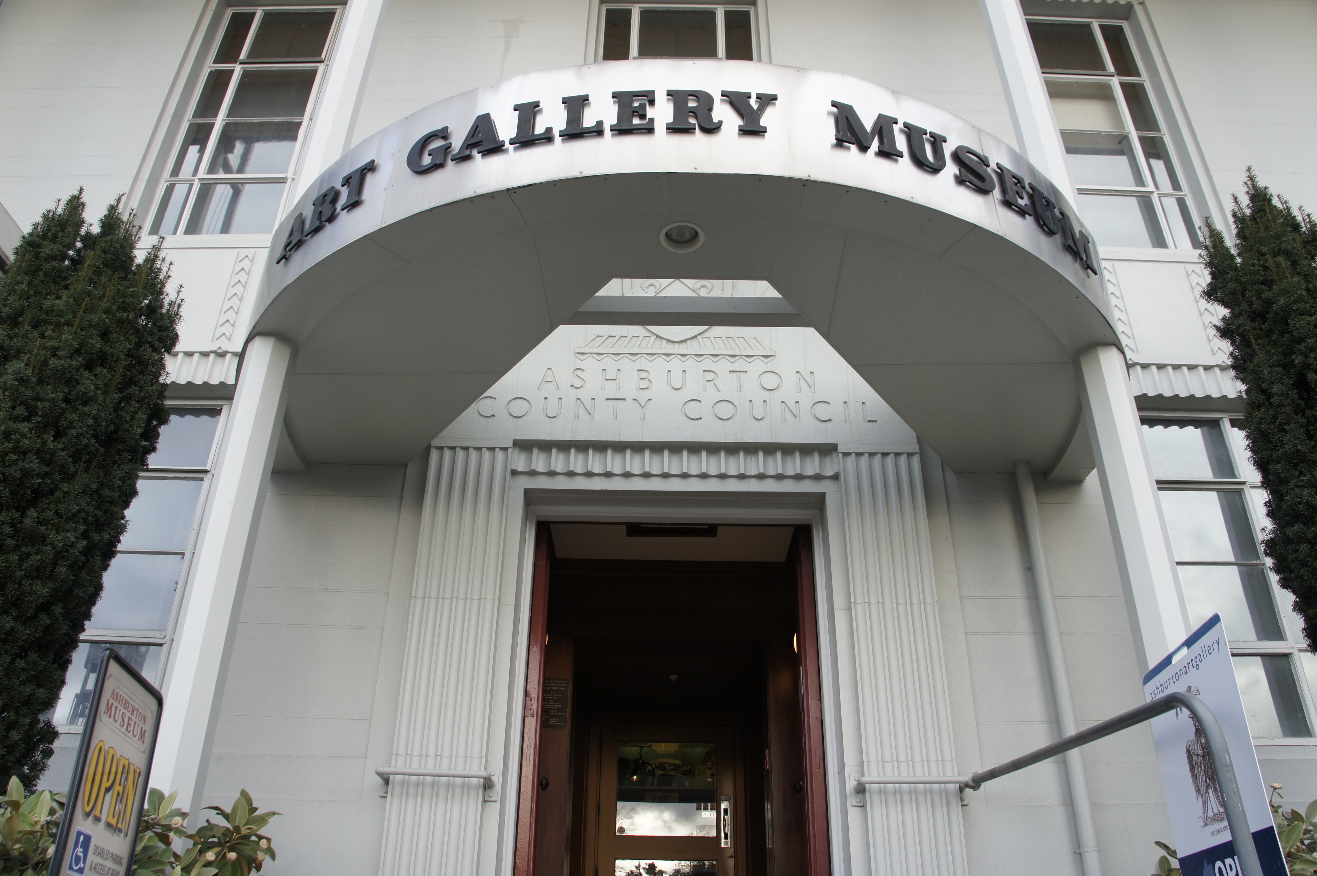
Ashburton County was one of the counties of New Zealand in the South Island The South Island, also officially named , is the larger of the two major islands of New Zealand in surface area, the other being the smaller but more populous North Island. It is bordered to the north by Cook Strait, to the west by the Tasman .... The council first met on 4 January 1877 in the Ashburton Road Board office. It became part of Ashburton District Council in 1989, together with Ashburton Borough Council. See also * List of former territorial authorities in New Zealand § Counties References Counties of New Zealand Politics of Canterbury, New Zealand Ashburton, New Zealand {{Canterbury-geo-stub ... [...More Info...] [...Related Items...] OR: [Wikipedia] [Google] [Baidu] |
Counties Of New Zealand
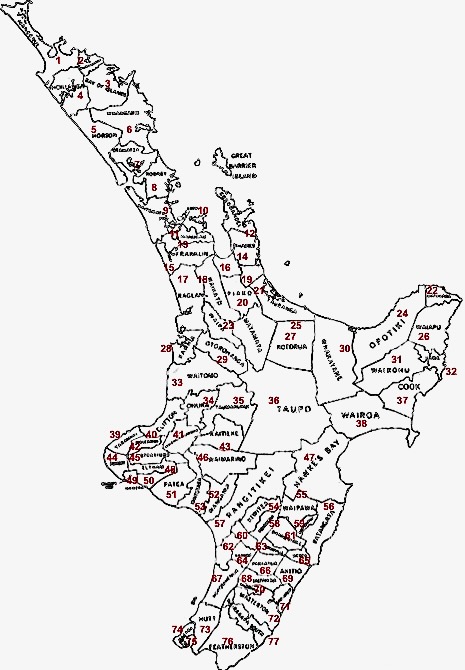
A system of counties of New Zealand was instituted after the country dissolved its provinces in 1876, and these counties were similar to other countries' systems, lasting with little change (except mergers and other localised boundary adjustments) until 1989, when they were reorganised into district and city councils within a system of larger regions. History The Counties Bill of 1876 was initiated to merge 314 road boards into 39 counties. However, as a result of lobbying the number of counties had grown to 63 by the time the bill was enacted. They had chairmen, not mayors as boroughs and cities had; many legislative provisions (such as burial and land subdivision control) were different for the counties. By 1966, there were 112 counties. During the second half of the 20th century, many counties received overflow population from nearby cities. The result was often a merger of the two into a "district" (e.g., Rotorua) or a change of name to "district" (e.g., Waimairi) or "c ... [...More Info...] [...Related Items...] OR: [Wikipedia] [Google] [Baidu] |
Ashburton, New Zealand
Ashburton ( mi, Hakatere) is a large town in the Canterbury Region, on the east coast of the South Island of New Zealand. The town is the seat of the Ashburton District. It is south west of Christchurch and is sometimes regarded as a satellite town of Christchurch. Ashburton township has a population of . The town is the 29th-largest urban area in New Zealand and the fourth-largest urban area in the Canterbury Region, after Christchurch, Timaru and Rolleston. Toponymy Ashburton was named by the surveyor Captain Joseph Thomas of the New Zealand Land Association, after Francis Baring, 3rd Baron Ashburton, who was a member of the Canterbury Association. Ashburton's common nickname "Ashvegas", is an ironic allusion to Las Vegas. Hakatere is the traditional Māori name for the Ashburton River. The name translates as "to make swift or to flow smoothly". History In 1858 William Turton, ran a ferry across the Ashburton river close to where the Ashburton bridge now lies. He al ... [...More Info...] [...Related Items...] OR: [Wikipedia] [Google] [Baidu] |
Canterbury, New Zealand
Canterbury ( mi, Waitaha) is a region of New Zealand, located in the central-eastern South Island. The region covers an area of , making it the largest region in the country by area. It is home to a population of The region in its current form was established in 1989 during nationwide local government reforms. The Kaikoura District joined the region in 1992 following the abolition of the Nelson-Marlborough Regional Council. Christchurch, the South Island's largest city and the country's second-largest urban area, is the seat of the region and home to percent of the region's population. Other major towns and cities include Timaru, Ashburton, Rangiora and Rolleston. History Natural history The land, water, flora, and fauna of Waitaha/Canterbury has a long history stretching from creation of the greywacke basement rocks that make up the Kā Tiritiri o te Moana/Southern Alps to the arrival of the first humans. This history is linked to the creation of the earth, the s ... [...More Info...] [...Related Items...] OR: [Wikipedia] [Google] [Baidu] |
Ashburton - 7304155116
Ashburton may refer to: Australia * Ashburton, Victoria, a suburb of Melbourne ** Ashburton railway station, Melbourne * Shire of Ashburton, a shire in Western Australia ** Electoral district of Ashburton, a former state electorate in Western Australia * Ashburton River (Western Australia), river in the Pilbara New Zealand * Ashburton, New Zealand, a town in Canterbury ** Ashburton Aerodrome, a small airport serving Ashburton ** Ashburton County, was one of the counties of New Zealand ** Ashburton District, which replaced Ashburton borough and county ** Ashburton (New Zealand electorate), a former electorate in New Zealand * Ashburton River / Hakatere, river in the South Island South Africa * Ashburton, KwaZulu-Natal, a town in South Africa United Kingdom * Ashburton, Devon, a town in England ** Ashburton (UK Parliament constituency), a former UK Parliamentary constituency ** Ashburton railway station * Ashburton, London, an area in the London Borough of Croydon, England ... [...More Info...] [...Related Items...] OR: [Wikipedia] [Google] [Baidu] |
Counties Of New Zealand
A system of counties of New Zealand was instituted after the country dissolved its provinces in 1876, and these counties were similar to other countries' systems, lasting with little change (except mergers and other localised boundary adjustments) until 1989, when they were reorganised into district and city councils within a system of larger regions. History The Counties Bill of 1876 was initiated to merge 314 road boards into 39 counties. However, as a result of lobbying the number of counties had grown to 63 by the time the bill was enacted. They had chairmen, not mayors as boroughs and cities had; many legislative provisions (such as burial and land subdivision control) were different for the counties. By 1966, there were 112 counties. During the second half of the 20th century, many counties received overflow population from nearby cities. The result was often a merger of the two into a "district" (e.g., Rotorua) or a change of name to "district" (e.g., Waimairi) or "c ... [...More Info...] [...Related Items...] OR: [Wikipedia] [Google] [Baidu] |
South Island
The South Island, also officially named , is the larger of the two major islands of New Zealand in surface area, the other being the smaller but more populous North Island. It is bordered to the north by Cook Strait, to the west by the Tasman Sea, and to the south and east by the Pacific Ocean. The South Island covers , making it the world's 12th-largest island. At low altitude, it has an oceanic climate. The South Island is shaped by the Southern Alps which run along it from north to south. They include New Zealand's highest peak, Aoraki / Mount Cook at . The high Kaikōura Ranges lie to the northeast. The east side of the island is home to the Canterbury Plains while the West Coast is famous for its rough coastlines such as Fiordland, a very high proportion of native bush and national parks, and the Fox and Franz Josef Glaciers. The main centres are Christchurch and Dunedin. The economy relies on agriculture and fishing, tourism, and general manufacturing and services. ... [...More Info...] [...Related Items...] OR: [Wikipedia] [Google] [Baidu] |
Ashburton District Council
Ashburton District Council is the territorial authority for the Ashburton District of New Zealand. The council consists of the mayor of Ashburton The Mayor of Ashburton officiates over the Ashburton District of New Zealand's South Island. The district is administered by a district council. From 1878 until the 1989 local government reforms, the area was administered by a borough council. ... and nine ward councillors. The current mayor is . Composition The councillors are elected from three wards: five from the Ashburton ward, and two each from the Eastern and Western wards. The mayor is elected at-large. Councillors * Mayor * Western Ward: Deputy Mayor Liz McMillan, Rodger Letham * Eastern Ward: Lynette Lovett, Stuart Wilson * Ashburton Ward: Leen Braam, Carolyn Cameron, John Falloon, Angus McKay, Diane Rawlinson Community boards * Methven Community Board: Dan McLaughlin, Sonia McAlpine, Kelvin Holmes, Rodger Letham, Liz McMillan, Ron Smith History The council was fo ... [...More Info...] [...Related Items...] OR: [Wikipedia] [Google] [Baidu] |
List Of Former Territorial Authorities In New Zealand
This is a list of former territorial authorities in New Zealand. "Territorial authority" is the generic term used for local government entities in New Zealand. Local government has gone through three principal phases with different structures: the provincial era, from 1853 to 1876; the counties and boroughs system from 1876 until 1989; and the current system of regions, cities and districts. This article attempts to list all territorial authorities which have been disestablished. Provincial era (until 1876) The original three provinces were established in 1841 by Royal Charter. The New Zealand Constitution Act 1846 reduced the number of provinces to two. The New Zealand Constitution Act 1852 re-divided New Zealand into six provinces, and four additional provinces emerged during the remainder of the Provincial Era. This era came to end with the Abolition of Provinces Act 1876. Post-provincial era (1876–1989) After New Zealand abolished its provinces in 1876, a system of ... [...More Info...] [...Related Items...] OR: [Wikipedia] [Google] [Baidu] |
Politics Of Canterbury, New Zealand
Politics (from , ) is the set of activities that are associated with making decisions in groups, or other forms of power relations among individuals, such as the distribution of resources or status. The branch of social science that studies politics and government is referred to as political science. It may be used positively in the context of a "political solution" which is compromising and nonviolent, or descriptively as "the art or science of government", but also often carries a negative connotation.. The concept has been defined in various ways, and different approaches have fundamentally differing views on whether it should be used extensively or limitedly, empirically or normatively, and on whether conflict or co-operation is more essential to it. A variety of methods are deployed in politics, which include promoting one's own political views among people, negotiation with other political subjects, making laws, and exercising internal and external force, including wa ... [...More Info...] [...Related Items...] OR: [Wikipedia] [Google] [Baidu] |


