|
Anglezarke
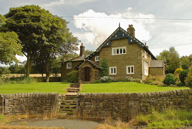
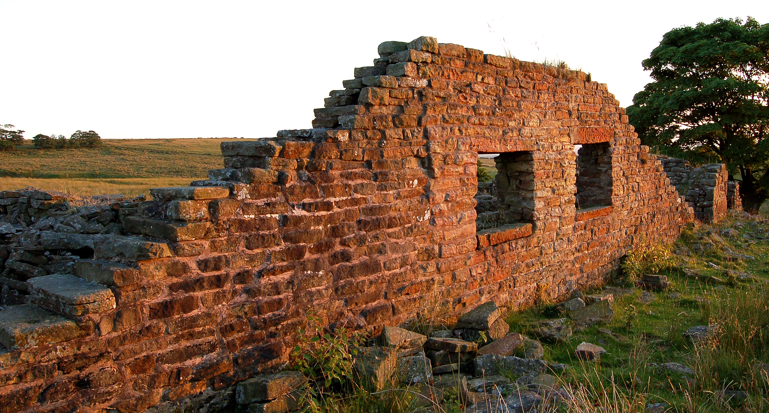
Anglezarke is a sparsely populated Civil parishes in England, civil parish in the Borough of Chorley in Lancashire, England. It is an agricultural area used for sheep farming, also site of reservoirs that were built to supply water to Liverpool. The area has a large expanse of moorland with many public footpaths and bridleways. The area is popular with walkers and tourists, it lies in the West Pennine Moors in Lancashire, sandwiched between the moors of Withnell and Rivington, and is close to the towns of Chorley, Horwich and Darwen. At the 2001 census it had a population of 23. At the 2011 Census the population is included within Heapey civil parish. The area was subjected to depopulation after the reservoirs were built. Toponymy Anglezarke is derived from the Old Norse name ''Anlaf'' and the Old Norse ''erg'', a 'hill pasture or shieling'. The elements together mean 'Anlaf's hill pasture'. In 1202 it was recorded as 'Andelevesarewe'. By 1225 this had become 'Anlavesargh'. In a ... [...More Info...] [...Related Items...] OR: [Wikipedia] [Google] [Baidu] |
West Pennine Moors
The West Pennine Moors is an area of the Pennines covering approximately of moorland and Reservoir (water), reservoirs in Lancashire and Greater Manchester, England. It is a Site of Special Scientific Interest. The West Pennine Moors are separated from the main Pennine range by the Irwell Valley to the east. The moorland includes Withnell, Anglezarke and Rivington Moors in the extreme west, Darwen and Turton Moors, Oswaldtwistle#Oswaldtwistle Moor, Oswaldtwistle Moors and Holcombe Moors. These moors are lower in height than the main spine of the South Pennines. At , the highest point is at Winter Hill (North West England), Winter Hill. The area is of historical importance with archaeological evidence of human activity from Neolithic times. The area is close to urban areas, the dramatic backdrop to Bolton, Blackburn and Bury, Greater Manchester, Bury and neighbouring towns affording panoramic views across the Lancashire Plain and the Greater Manchester conurbation. The moorland is ... [...More Info...] [...Related Items...] OR: [Wikipedia] [Google] [Baidu] |
Rivington
Rivington is a village and civil parish of the Borough of Chorley, Lancashire, England, occupying . It is about southeast of Chorley and about northwest of Bolton. Rivington is a rural area consisting primarily of agricultural grazing land, moorland, with hill summits including Rivington Pike and Winter Hill within the West Pennine Moors. The area has a thriving tourist industry centred around reservoirs created to serve Liverpool in the Victorian era and Lever Park created as a public park by William Lever at the turn of the 20th century, with two converted barns, a replica of Liverpool Castle and open countryside. Rivington and Blackrod High School is located here. Rivington and its village had a population of 109 at the 2011 Census. History Toponymy The name Rivington is made up of three elements: ''riv'' is from the Old English ''hrēof'' meaning rough or rugged; ''ing'' is a place name forming suffix that seems to have crept in over the years; the last is the Old En ... [...More Info...] [...Related Items...] OR: [Wikipedia] [Google] [Baidu] |
Round Loaf
Round Loaf is a late-Neolithic or Bronze Age tumulus on Anglezarke Moor in the West Pennine Moors near Chorley in Lancashire, England. The bowl barrow is a scheduled monument considered to be of national importance. It was first scheduled in March 1954. The structure is aligned between Great Hill and Pikestones. Background Round Loaf is one of 10,000 bowl barrows constructed between the late-Neolithic period and the late-Bronze Age (2400 - 1500 BC). They are funerary monuments in the form of earth or rubble mounds covering single or multiple burials. Some were surrounded by a ditch. Some are in isolated locations as is Round Loaf and some are grouped in cemeteries. They vary in size and regional variations show a range of different burial practices. Description Round Loaf occupies a prominent landmark position on Anglezarke Moor. Some erosion has occurred on its summit. It has not been excavated and its archaeology is possibly undisturbed. The ancient monument includes an oval ... [...More Info...] [...Related Items...] OR: [Wikipedia] [Google] [Baidu] |
Chorley
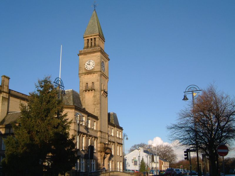
Chorley is a town and the administrative centre of the wider Borough of Chorley in Lancashire, England, north of Wigan, south west of Blackburn, north west of Bolton, south of Preston and north west of Manchester. The town's wealth came principally from the cotton industry. In the 1970s, the skyline was dominated by factory chimneys, but most have now been demolished: remnants of the industrial past include Morrisons chimney and other mill buildings, and the streets of terraced houses for mill workers. Chorley is the home of the Chorley cake. History Toponymy The name ''Chorley'' comes from two Anglo-Saxon words, and , probably meaning "the peasants' clearing". (also or ) is a common element of place-name, meaning a clearing in a woodland; refers to a person of status similar to a freeman or a yeoman. Prehistory There was no known occupation in Chorley until the Middle Ages, though archaeological evidence has shown that the area around the town has been inhabited ... [...More Info...] [...Related Items...] OR: [Wikipedia] [Google] [Baidu] |
Pikestones
Pikestones is the remains of a Neolithic Burial Cairn, located on Anglezarke moor in Lancashire, England. The site is approximately 150 feet (45 metres) long and 60 feet (18 metres) across at its widest point. It consisted of one burial chamber constructed of large upright slabs, capped by two lintel slabs, forming a chamber of 15 feet (4.5 metres) long, 3 feet (0.9 metres) wide and 3 feet (0.9 metres) high, covered by a huge mound of stones and turves. The cairn was aligned almost exactly North-South, with the burial chamber under the wider northern end. At the northern edge of the cairn, a double wall could be made out, curving inwards to form an entrance to a forecourt. Today the cairn has been badly robbed and the main features are the five large gritstone slabs, the remains of the burial chamber. Surprisingly, evidence suggests that the bodies were not interred directly in the tomb, but were left outside, perhaps at the entrance to the cairn, for birds and wild anima ... [...More Info...] [...Related Items...] OR: [Wikipedia] [Google] [Baidu] |
Chorley (borough)
The Borough of Chorley is a local government district with borough status in Lancashire, England. The population of the Borough at the 2011 census was 107,155. It is named after its largest settlement, the town of Chorley. History The non-metropolitan district of Chorley was formed on 1 April 1974, covering the area of four former districts, which were abolished at the same time: * Adlington Urban District * Chorley Municipal Borough *Chorley Rural District *Withnell Urban District The new district was named Chorley, and the borough status previously held by the town was passed to the new district on the day that it came into being, allowing the chairman of the council to take the title of mayor. Council Elections are generally held three years out of every four, with a third of the council elected each time. In the fourth year where there are no borough council elections, elections for Lancashire County Council as the higher tier authority for the area are held instead. Cho ... [...More Info...] [...Related Items...] OR: [Wikipedia] [Google] [Baidu] |
Heapey
Heapey is a village and civil parish of the Borough of Chorley, in Lancashire, England. The village is two miles from Chorley and on the western fringe of the West Pennine Moors. In 2001 the population was 955, increasing to 1,001 at the 2011 census. History Heapey derives from the Old English ''heope'' a rose, or ''heap'' a hill and ''hege'' a hedge meaning a rose hedge or hedge on the hill. It was recorded as Hepeie in 1219. There are ancient earthworks near Heapey and Roman coins were discovered in 1835. Heapey was part of ''Gunolfsmoors'' an area between Leyland and Blackburn claimed by a Viking, Gunnolf, in the 10th century. It emerged in the Middle Ages as Hepay in 1260. The lordship was held by the De Ollertons including Ranulph who assumed the Hepay name. Robert de Hepay sold the lordship to the Standishes, and the manor or lordship remained with them. In 1924, the principal landowners were the trustees of Mrs. Paulet and Mrs. Sumner Mayhew. There were 34 hearths liab ... [...More Info...] [...Related Items...] OR: [Wikipedia] [Google] [Baidu] |
Borough Of Chorley
The Borough of Chorley is a local government district with borough status in Lancashire, England. The population of the Borough at the 2011 census was 107,155. It is named after its largest settlement, the town of Chorley. History The non-metropolitan district of Chorley was formed on 1 April 1974, covering the area of four former districts, which were abolished at the same time: * Adlington Urban District * Chorley Municipal Borough *Chorley Rural District *Withnell Urban District The new district was named Chorley, and the borough status previously held by the town was passed to the new district on the day that it came into being, allowing the chairman of the council to take the title of mayor. Council Elections are generally held three years out of every four, with a third of the council elected each time. In the fourth year where there are no borough council elections, elections for Lancashire County Council as the higher tier authority for the area are held instead. Cho ... [...More Info...] [...Related Items...] OR: [Wikipedia] [Google] [Baidu] |
Great Hill
Great Hill is a hill in Lancashire, England, on Anglezarke Moor, between the towns of Chorley and Darwen. It is part of the West Pennine Moors and lies approximately 3 miles north of Winter Hill, which is the highest point in the area at 456 m (1,498 ft). The summit at 381 m (1,252 ft) is only slightly higher than the surrounding moorland, but provides excellent views in all directions particularly to the north and west. Paths head west towards White Coppice White Coppice is a hamlet near Chorley, Lancashire, England. It was the most populated part of the township of Anglezarke in the 19th century. Close to the settlement in the early 19th century were quarries and small coal mines. The hamlet lies ... via the ruins of Drinkwaters, south to Winter Hill via Hordern Stoops, and east to Darwen Tower via ''Pimm's'', ''Picadilly'' and the ruins of Hollinshead Hall. The sources of Black Brook and the River Roddlesworth are on the slopes of the hill. T ... [...More Info...] [...Related Items...] OR: [Wikipedia] [Google] [Baidu] |
Chambered Cairn
A chambered cairn is a burial monument, usually constructed during the Neolithic, consisting of a sizeable (usually stone) chamber around and over which a cairn of stones was constructed. Some chambered cairns are also passage-graves. They are found throughout Britain and Ireland, with the largest number in Scotland. Typically, the chamber is larger than a cist, and will contain a larger number of interments, which are either excarnated bones or inhumations (cremations). Most were situated near a settlement, and served as that community's "graveyard". Scotland Background During the early Neolithic (4000–3300 BC) architectural forms are highly regionalised with timber and earth monuments predominating in the east and stone-chambered cairns in the west. During the later Neolithic (3300–2500 BC) massive circular enclosures and the use of grooved ware and Unstan ware pottery emerge. Scotland has a particularly large number of chambered cairns; they are found in various differe ... [...More Info...] [...Related Items...] OR: [Wikipedia] [Google] [Baidu] |
Bronze Age
The Bronze Age is a historic period, lasting approximately from 3300 BC to 1200 BC, characterized by the use of bronze, the presence of writing in some areas, and other early features of urban civilization. The Bronze Age is the second principal period of the three-age system proposed in 1836 by Christian Jürgensen Thomsen for classifying and studying ancient societies and history. An ancient civilization is deemed to be part of the Bronze Age because it either produced bronze by smelting its own copper and alloying it with tin, arsenic, or other metals, or traded other items for bronze from production areas elsewhere. Bronze is harder and more durable than the other metals available at the time, allowing Bronze Age civilizations to gain a technological advantage. While terrestrial iron is naturally abundant, the higher temperature required for smelting, , in addition to the greater difficulty of working with the metal, placed it out of reach of common use until the end o ... [...More Info...] [...Related Items...] OR: [Wikipedia] [Google] [Baidu] |
Tumulus
A tumulus (plural tumuli) is a mound of earth and stones raised over a grave or graves. Tumuli are also known as barrows, burial mounds or ''kurgans'', and may be found throughout much of the world. A cairn, which is a mound of stones built for various purposes, may also originally have been a tumulus. Tumuli are often categorised according to their external apparent shape. In this respect, a long barrow is a long tumulus, usually constructed on top of several burials, such as passage graves. A round barrow is a round tumulus, also commonly constructed on top of burials. The internal structure and architecture of both long and round barrows has a broad range; the categorization only refers to the external apparent shape. The method of may involve a dolmen, a cist, a mortuary enclosure, a mortuary house, or a chamber tomb. Examples of barrows include Duggleby Howe and Maeshowe. Etymology The word ''tumulus'' is Latin for 'mound' or 'small hill', which is derived from th ... [...More Info...] [...Related Items...] OR: [Wikipedia] [Google] [Baidu] |


