|
Anarjohka
Anarjohka ( se, Anárjohka, no, Anarjokka or ''Anarjohka'', fi, Inarijoki, sv, Enare älv) is a tributary of Tana River. It is about long, with a drainage area of about .NVE Atlas '''' The mean discharge at the mouth is about . The lower part of the river runs along the Finnish–Norwegian border. The border continues along Anarjohkas tributary [...More Info...] [...Related Items...] OR: [Wikipedia] [Google] [Baidu] |
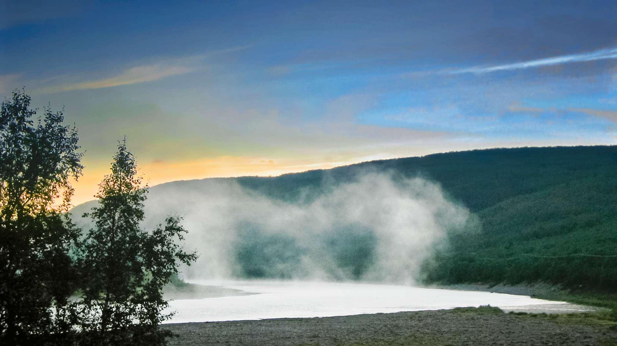
Anarjohka River, Norway-Finland Border
Anarjohka ( se, Anárjohka, no, Anarjokka or ''Anarjohka'', fi, Inarijoki, sv, Enare älv) is a tributary of Tana River (Norway), Tana River. It is about long, with a drainage area of about .NVE Atlas ''Norges vassdrags- og energidirektorat'' The Discharge (hydrology), mean discharge at the mouth is about . The lower part of the river runs along the Finland–Norway border, Finnish–Norwegian border. The border continues along Anarjohkas tributary Skiehččanjohka, while the upper part of the river lies within the eponymous Øvre Anárjohka National Park, Øvre Anárjohka (Upper Anarjohka) national park in Norway. [...More Info...] [...Related Items...] OR: [Wikipedia] [Google] [Baidu] |
Karigasniemi
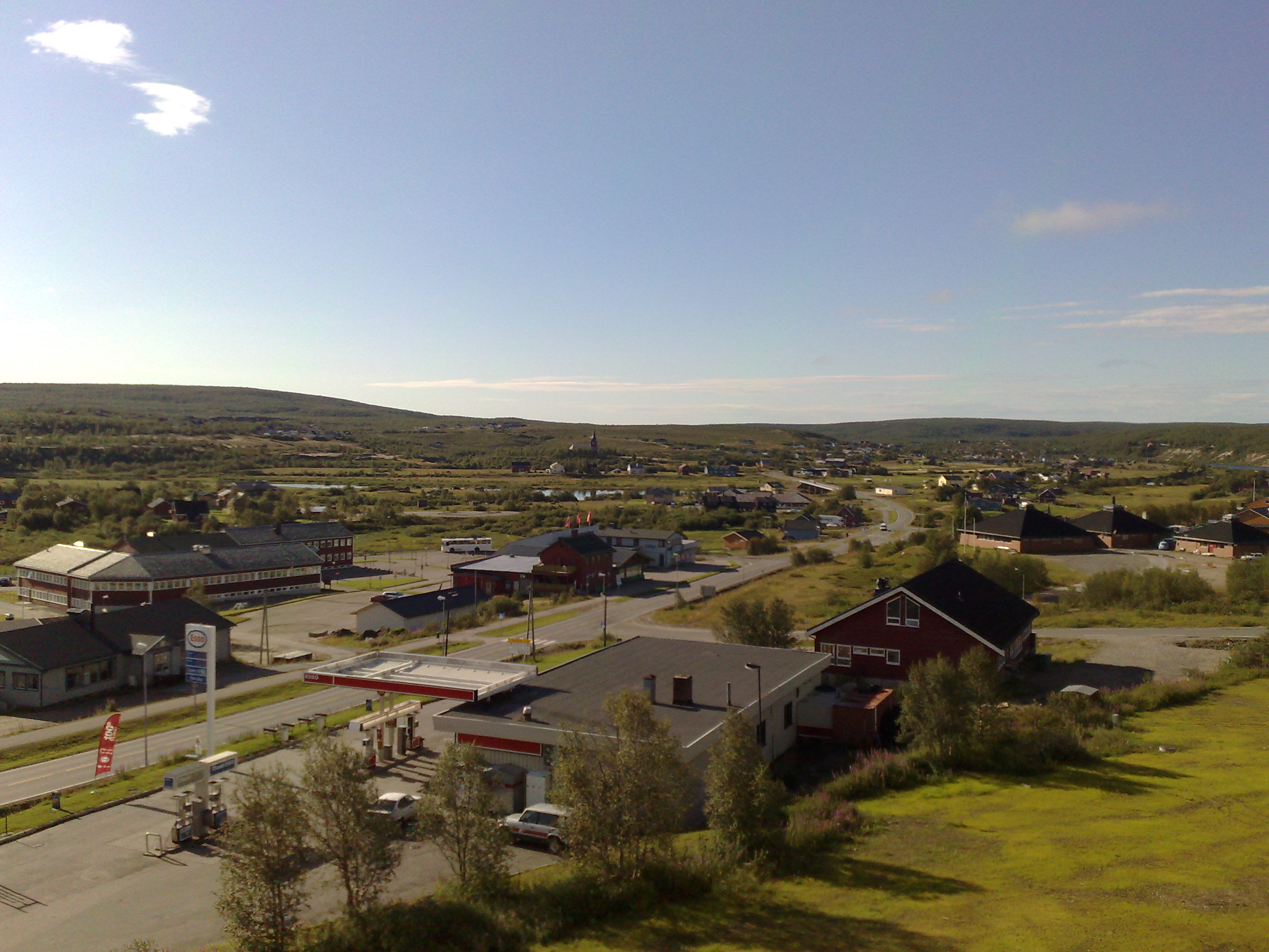
Karigasniemi ( se, Gáregasnjárga) is a village in the municipality of Utsjoki in Finland. It lies at the foot of Mount Ailigás. The village is situated on the border between Norway and Finland south-east of the Norwegian village of Karasjok. It lies on the banks of the river Inarijoki (Anarjohka), which, downstream of Karigasniemi, joins the river Karasjohka to form the famous salmon fishing river Tana. Karigasniemi lies on the road between the Finnish town of Ivalo and Lakselv in Norway. Karigasniemi is home to about 300 people, of which more than half are Sámi. There are one grocery store, two petrol stations and three bars and restaurants, mostly because of a lot of border traffic from the Norwegian side. There is also, a school and a small health care center in the village. Karigasniemi is also a junction point where travellers can choose the road to Nordkapp or other places at the Arctic Ocean The Arctic Ocean is the smallest and shallowest of the world's fi ... [...More Info...] [...Related Items...] OR: [Wikipedia] [Google] [Baidu] |
Øvre Anárjohka National Park
Øvre Anárjohka National Park ( no, Øvre Anárjohka nasjonalpark, se, Anárjoga álbmotmeahcci) is a national park that lies in Karasjok and Kautokeino municipalities in Finnmark county, Norway. The park was opened in 1976 and is in area. It borders on Lemmenjoki National Park in Finland. A process to expand the national park by an additional was started in 2009, however it was cancelled in 2015 after local opposition. Øvre Anárjohka is located on the interior of the Finnmarksvidda plateau and it includes extensive birch woods, pine barrens, bogs, and lakes. Fauna There is a rich animal life inside the park. The largest mammals are the moose, but they often migrate to more wooded areas outside the park for the winter. The park has 12 winter grazing units for reindeer. Consequently, from November to April inclusive, the reindeer completely dominate the park. Brown bear have their winter lairs within the national park and wolverines only visit sporadically. The red fox a ... [...More Info...] [...Related Items...] OR: [Wikipedia] [Google] [Baidu] |
Tana River (Norway)
The Tana ( fi, Teno or ; sme, Deatnu ; no, Tana/Tanaelva; sv, Tana älv) is a long river in the Sápmi area of northern Fennoscandia. The river flows through Troms og Finnmark county, Norway and the Lapland region of Finland. The Sámi name means "Great River". The main tributaries of Tana are Anarjohka and Karasjohka. Geography In its upper course it runs for along the Finnish–Norwegian border, between the municipalities of Utsjoki, Finland and Karasjok and Tana, Norway. The river is the fifth longest in Norway. The last of the river run through the municipality of Tana in Norway. The river discharges into the Tanafjorden, one of the largest and most unspoiled river deltas in Europe. The delta is protected and is an important home to wetland birds. There are large deposits of sand in the delta that are exposed sandbars at low tide. Fishing In 2022, authorities in Norway and in Finland will not permit salmon fishing (in the river).https://www.nrk.no/vestland/no-startar ... [...More Info...] [...Related Items...] OR: [Wikipedia] [Google] [Baidu] |
Kautokeino
Kautokeino ( no, Kautokeino; se, Guovdageaidnu ; fkv, Koutokeino; fi, Koutokeino) is a municipality in Troms og Finnmark county, Norway. The administrative centre of the municipality is the village of Guovdageaidnu/Kautokeino. Other villages include Láhpoluoppal and Máze. The municipality is the largest by area out of the 356 municipalities in Norway. Kautokeino is the 235th most populous municipality in Norway with a population of 2,877. The municipality's population density is and its population has decreased by 1.7% over the previous 10-year period. Guovdageaidnu-Kautokeino is one of two cultural centers of Northern Sápmi today (the other being Kárášjohka-Karasjok). The most significant industries are reindeer herding, theatre/movie industry, and the public education system. Kautokeino is one of the coldest places in the Nordics. General information The municipality of Kautokeino was established in 1851 when the southern part of the old Kistrand municipality ... [...More Info...] [...Related Items...] OR: [Wikipedia] [Google] [Baidu] |
Finland–Norway Border
The border between Norway and Finland is long. It is a land and river border between two tripoints. The western tripoint is marked by Treriksröset, a concrete cairn where both countries border Sweden. The eastern tripoint is marked by Treriksrøysa, a stone cairn where both countries border Russia. The border was defined in a treaty from 1751, but was then a part of the border between the Kingdom of Sweden, ruling Finland, and Denmark-Norway. In the period 1738-1751 there were field investigations and negotiations on the border, although the Finnish part needed less negotiation. Cairns were erected after that with the last one at Nesseby in 1766. After Finland became the Grand Duchy of Finland, a Grand Duchy of the Russian Empire, and the independent Kingdom of Norway was evoked into but in personal union with Sweden under the Swedish King, a treaty was again negotiated in 1816 with Russia. Defining the easternmost part of the borderzone. Between 1920 and 1944, the Pets ... [...More Info...] [...Related Items...] OR: [Wikipedia] [Google] [Baidu] |
Kautokeino Municipality
Kautokeino ( no, Kautokeino; se, Guovdageaidnu ; fkv, Koutokeino; fi, Koutokeino) is a municipality in Troms og Finnmark county, Norway. The administrative centre of the municipality is the village of Guovdageaidnu/Kautokeino. Other villages include Láhpoluoppal and Máze. The municipality is the largest by area out of the 356 municipalities in Norway. Kautokeino is the 235th most populous municipality in Norway with a population of 2,877. The municipality's population density is and its population has decreased by 1.7% over the previous 10-year period. Guovdageaidnu-Kautokeino is one of two cultural centers of Northern Sápmi today (the other being Kárášjohka-Karasjok). The most significant industries are reindeer herding, theatre/movie industry, and the public education system. Kautokeino is one of the coldest places in the Nordics. General information The municipality of Kautokeino was established in 1851 when the southern part of the old Kistrand municipality ... [...More Info...] [...Related Items...] OR: [Wikipedia] [Google] [Baidu] |
Karasjok Municipality
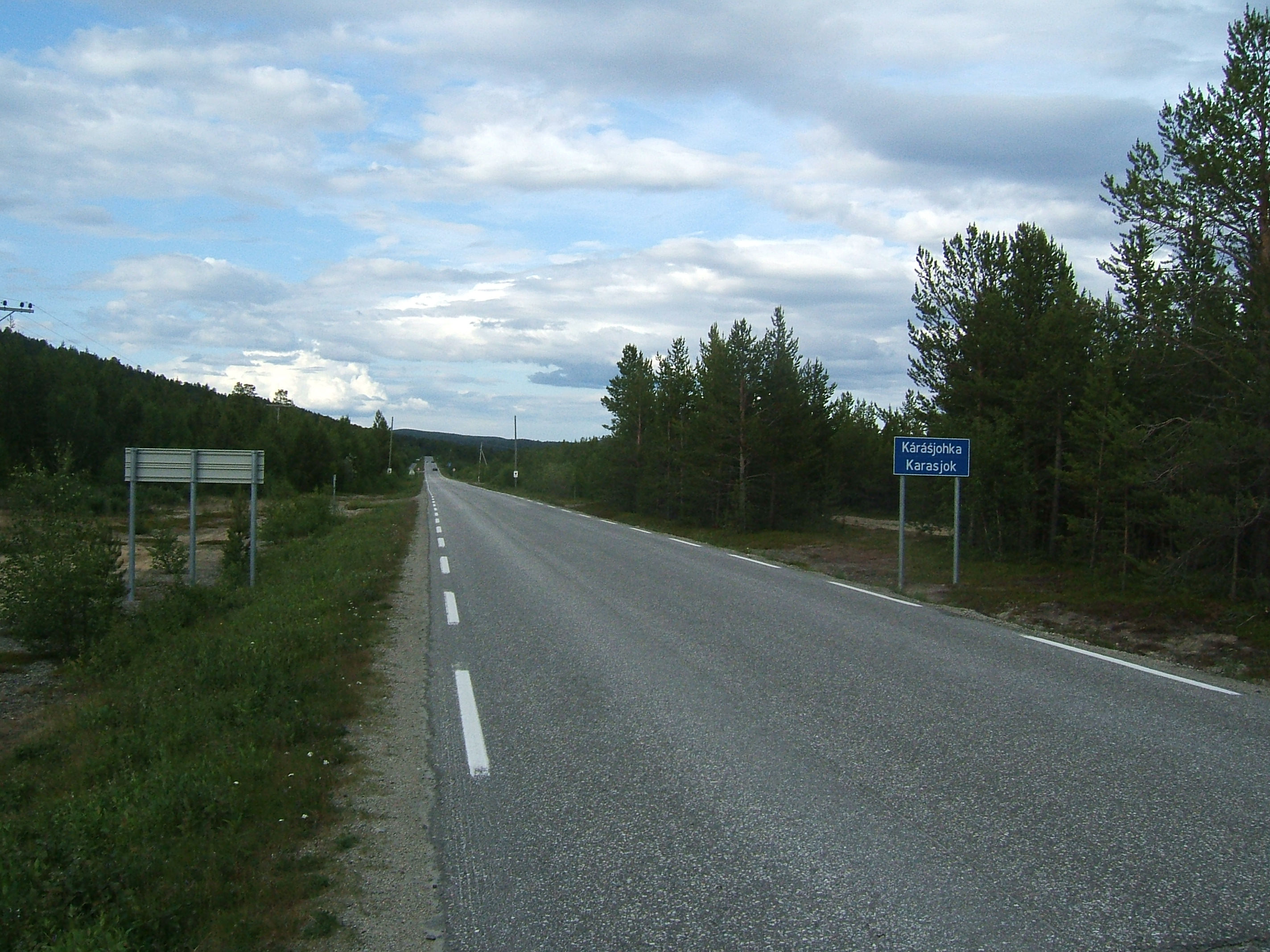
( se, Kárášjohka ; fkv, Kaarasjoki) is a municipality in Troms og Finnmark county, Norway. The administrative centre of the municipality is the village of Karasjok. Other villages include Dorvonjárga, Šuoššjávri, and Váljohka. The municipality is the second largest by area out of the 356 municipalities in Norway. Karasjok is the 247th most populous municipality in Norway with a population of 2,584. The municipality's population density is and its population has decreased by 6.6% over the previous 10-year period. Wildlife: 16 bears are in the municipality (as of Q4 2022). General information The municipality of Karasjok was established on 1 January 1866 when it was separated from the old Kistrand municipality. Initially, the population of Karasjok was 515. The municipal borders have not changed since that time. On 1 January 2020, the municipality became part of the newly formed Troms og Finnmark county. Previously, it had been part of the old Finnmark county. ... [...More Info...] [...Related Items...] OR: [Wikipedia] [Google] [Baidu] |
List Of Rivers Of Finland
This is a list of rivers of Finland. Listing begins with rivers flowing into the Baltic sea, from the north, that is from the Swedish border. Tributaries are listed down the page in an upstream direction. Water flows from Finland directly to the Baltic Sea, which is divided here into the Gulf of Bothnia and Gulf of Finland, and the Archipelago Sea between them. Some rivers flow to Russia, ending either to Gulf of Finland or to the White Sea, and a few to the Arctic Ocean through Russia or Norway. There are many lakes in Finland and so this listing includes also several lakes through which the rivers flow or begin from. Due to the great number of lakes especially in the Finnish Lakeland, where watercourses tend to consist of chains of lakes rather than long rivers, some rivers with a large catchment area can also be quite short or there may only be a short rapid between large lakes, like for example Tammerkoski in Tampere. Rivers flowing to the Gulf of Bothnia *Torne River ( sv, ... [...More Info...] [...Related Items...] OR: [Wikipedia] [Google] [Baidu] |
Karasjok
( se, Kárášjohka ; fkv, Kaarasjoki) is a municipality in Troms og Finnmark county, Norway. The administrative centre of the municipality is the village of Karasjok. Other villages include Dorvonjárga, Šuoššjávri, and Váljohka. The municipality is the second largest by area out of the 356 municipalities in Norway. Karasjok is the 247th most populous municipality in Norway with a population of 2,584. The municipality's population density is and its population has decreased by 6.6% over the previous 10-year period. Wildlife: 16 bears are in the municipality (as of Q4 2022). General information The municipality of Karasjok was established on 1 January 1866 when it was separated from the old Kistrand municipality. Initially, the population of Karasjok was 515. The municipal borders have not changed since that time. On 1 January 2020, the municipality became part of the newly formed Troms og Finnmark county. Previously, it had been part of the old Finnmark county. Na ... [...More Info...] [...Related Items...] OR: [Wikipedia] [Google] [Baidu] |
Karasjohka
or is a river in Troms og Finnmark county, Norway. The long river runs through Kautokeino Municipality and Karasjok Municipality. The river is one of the most important rivers that drains the Finnmarksvidda plateau. It flows into the famous salmon-fishing Tana River (Norway), Tana River near the Finnish village of Karigasniemi on the Norway-Finland border. The river begins at the small Norwegian lake of Nuorttit Rávdojávri which lies inside the Øvre Anárjohka National Park, just inside the border with Finland. The river begins high on the Finnmarksvidda plateau and then flows north through Kautokeino and Karasjok municipalities. About west of the Karasjok (village), village of Karasjok, the river turns and heads to the east. At its confluence with the river Anarjohka, the two rivers form the Tana River (Norway), Tana River. The Karasjohka river drains a Drainage basin, watershed of . The European route E06 highway runs along the northern shore of the last of the river. M ... [...More Info...] [...Related Items...] OR: [Wikipedia] [Google] [Baidu] |
Lemmenjoki National Park
Lemmenjoki National Park ( fi, Lemmenjoen kansallispuisto, smn, Lemmee aalmuglâšmecci, se, Leammi álbmotmeahcci) is situated in area of municipalities of Inari and Kittilä, Lapland, in Northern Finland. It was founded in 1956 and has since been expanded twice. Its total area is , making it the biggest national park of Finland and one of the largest in Europe. The park is named after the Lemmenjoki River, an long river running through it. The park is partly bordered by the Øvre Anarjóhka National Park in Norway. Around 100 people can be seen digging gold in the area in the summer on 40 claims. Most of the people in the park – around 10,000 people per year – are backpackers, though. There are about marked paths in the national park, and even some bridges and boats are put up for travelers. There are more than ten free wilderness huts in the park and three chargeable, bookable ones. The gold-digging area contains two small airfields, Martiniiskonpalo () an ... [...More Info...] [...Related Items...] OR: [Wikipedia] [Google] [Baidu] |


