|
Altona North, Victoria
Altona North is a suburb in Melbourne, Victoria, Australia, south-west of Melbourne's Central Business District, located within the City of Hobsons Bay local government area. Altona North recorded a population of 12,962 at the . Bordering suburbs include Altona, Brooklyn, Laverton North, Newport, South Kingsville, Williamstown North and Yarraville. In addition to the Paisley Park sporting complex, Altona North is home to three parks; S J Clement Reserve – Gilligan Rd, W L J Crofts Reserve – Blackshaws Rd and Urban Forest Reserve – Grieve Pde. History The Altona area was home to Kurung-Jang-Balluk Aboriginal people, of the Woiwurrung clan. Altona North Post Office first opened on 11 April 1960 as suburban development took place. In 1966 it was renamed Beevers when a new Altona North office opened in Duke Street to the south. In 1986 Altona Gate Office replaced Beevers. The Prince and Princess of Wales officially opened the Mason Street Housing Commission Estat ... [...More Info...] [...Related Items...] OR: [Wikipedia] [Google] [Baidu] |
Electoral District Of Altona
The electoral district of Altona was one of the electoral districts of Victoria, Australia, for the Victorian Legislative Assembly. It covered an area of in western Melbourne, and included the suburbs of Altona, Altona Meadows, Laverton, Point Cook, Seabrook and Seaholme. It also included the RAAF Williams airbase and the Point Cook Coastal Park. It lay within the Western Metropolitan Region of the upper house, the Legislative Council. The seat was abolished by the Electoral Boundaries Commission ahead of the 2022 election and largely replaced by the electoral district of Point Cook. History The Altona seat was created in an electoral redistribution for the 1992 election, and has been a safe seat for the Labor Party throughout its history. It was won in 1992 by Carole Marple, who was associated with the party's Pledge Left faction, a hard-left splinter from the Socialist Left. In 1993, a broad "peace deal" was struck between the Socialist Left and the right-win ... [...More Info...] [...Related Items...] OR: [Wikipedia] [Google] [Baidu] |
Indigenous Australians
Indigenous Australians or Australian First Nations are people with familial heritage from, and membership in, the ethnic groups that lived in Australia before British colonisation. They consist of two distinct groups: the Aboriginal peoples of the Australian mainland and Tasmania, and the Torres Strait Islander peoples from the seas between Queensland and Papua New Guinea. The term Aboriginal and Torres Strait Islander peoples or the person's specific cultural group, is often preferred, though the terms First Nations of Australia, First Peoples of Australia and First Australians are also increasingly common; 812,728 people self-identified as being of Aboriginal and/or Torres Strait Islander origin in the 2021 Australian Census, representing 3.2% of the total population of Australia. Of these indigenous Australians, 91.4% identified as Aboriginal; 4.2% identified as Torres Strait Islander; while 4.4% identified with both groups. [...More Info...] [...Related Items...] OR: [Wikipedia] [Google] [Baidu] |
Point Cook, Victoria
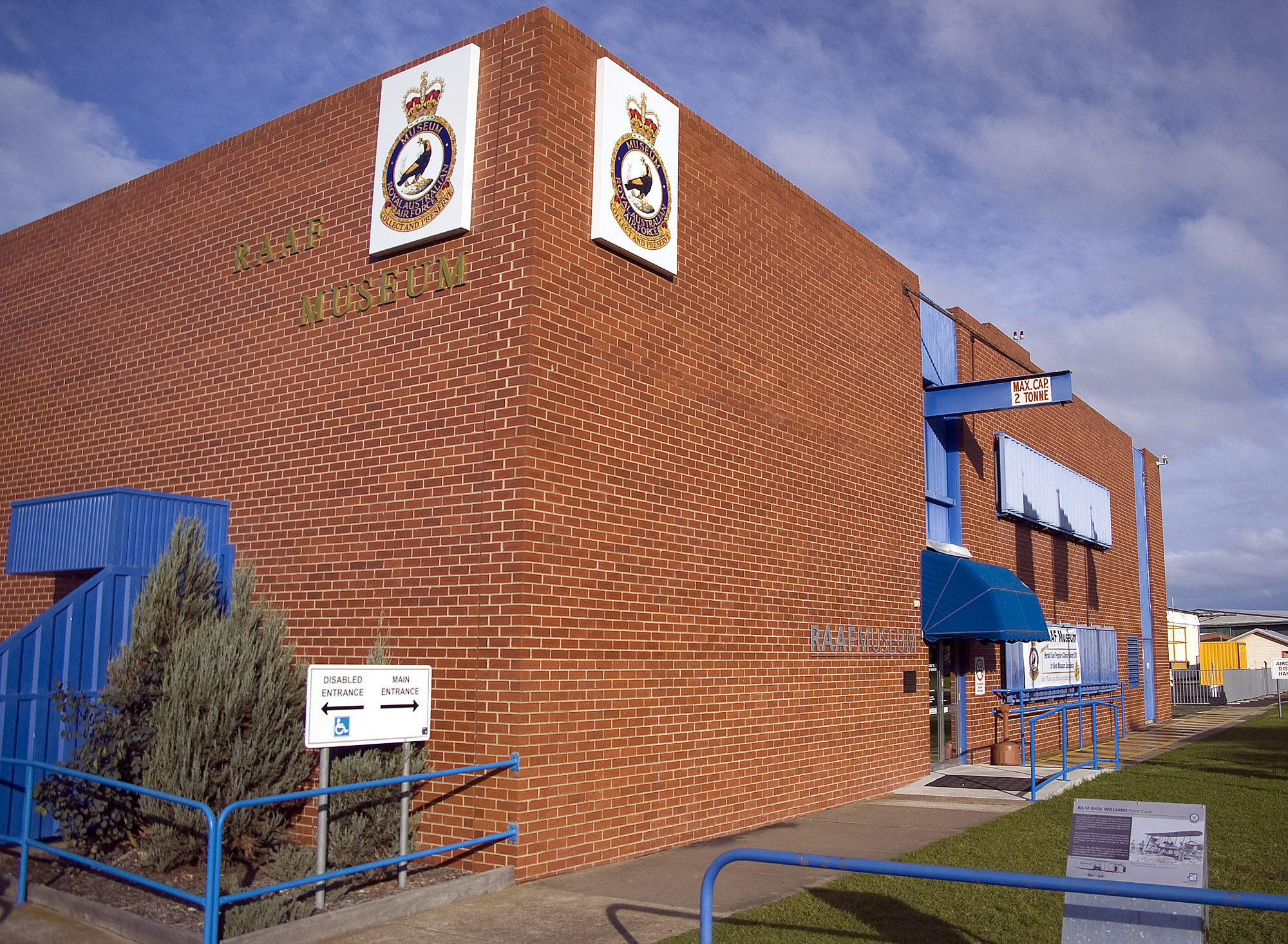
Point Cook is a suburb in Melbourne, Victoria, Australia, south-west of Melbourne's Central Business District, located within the City of Wyndham local government area. Point Cook recorded a population of 66,781 at the 2021 census. Point Cook is the home of RAAF Base Point Cook, the birthplace of the Royal Australian Air Force, and is the current home of the RAAF Museum. Point Cook is also home to many playgrounds and parks/public spaces. The wetlands of the Point Cook Coastal Park form part of the Cheetham and Altona Important Bird Area. The major development of the suburb began in the late 1990s. The population of Point Cook has been growing rapidly since 2001 when the population was 1,737. At the , Point Cook's population was 49,929, and had risen to 60,105 by 2018. History Early settlers Point Cook was originally spelled Point Cooke, and named in 1836. Almost all references dropped the "e"; however, in the early 2000s the point itself was officially renamed "Point ... [...More Info...] [...Related Items...] OR: [Wikipedia] [Google] [Baidu] |
SmartBus
SmartBus is a network of bus services in the city of Melbourne, Australia. Overseen by Public Transport Victoria, the network comprises nine key cross-town and orbital bus routes around Melbourne. Key aspects of the service include more frequent services, extended hours of operation to include late evening and Sunday services, improved timetable information at bus stops, roadspace priority along certain routes and priority at particular traffic lights. The SmartBus network was expected to reach by 2012. History SmartBus was originally a policy initiative of the Kennett State Government in the late 1990s, but was slowly implemented under the Bracks and Brumby governments. However, plans from the late 1980s included a number of cross-town routes, which were to be called Metlink. The first stage of the trial was implemented on 5 August 2002, with the following services being chosen as pilot routes: 703 Middle Brighton to Blackburn and 888/889 Nunawading to Chelsea. These t ... [...More Info...] [...Related Items...] OR: [Wikipedia] [Google] [Baidu] |
Mordialloc, Victoria
Mordialloc is a beachside suburb in Melbourne, Victoria, Australia, 24 km south-east of Melbourne's Central Business District, located within the City of Kingston local government area. Mordialloc recorded a population of 8,886 at the . History Originally "Moody Yallock", the name is derived from the term ''moordy yallock'' which originated from the Aboriginal language Boonwurrung, in which "yallock" means "creek" or "water", and is listed in some sources as meaning ''muddy creek'', and in others as "little sea." from c.1850 was the site of the Mordialloc Aboriginal Reserve. Mordialloc Post Office opened on 17 October 1863. In 1995 it was renamed Braeside Business Centre, and a new Mordialloc office opened near the railway station. In the 1970s, a green ban imposed by the Builders Labourers Federation stopped a Coles Supermarket being built that would result in the eviction and destruction of several homes. The namesaked Mordialloc Creek is arguably the most si ... [...More Info...] [...Related Items...] OR: [Wikipedia] [Google] [Baidu] |
Sunshine Railway Station, Melbourne
Sunshine railway station is located on the Sunbury line in Victoria, Australia. Originally named Braybrook Junction for the convergence of the major railways from central Melbourne to Ballarat and Bendigo, it was renamed when the suburb of Sunshine, which it serves, took its name from the nearby Sunshine Harvester Works. With the expansion of the railway network in Melbourne's west, Sunshine grew in importance, with cross-suburban goods routes constructed to Newport and from the adjacent Albion to Jacana line. From the mid-20th century, it became an interchange for the main interstate routes to South Australia and New South Wales, when the through line from Melbourne to Sydney was completed, although the main line to Adelaide was later diverted. In the early 21st century, the station was demolished and reconstructed to serve the diversion of the main passenger route to Geelong and beyond. It has been identified as a possible route for a future line to Melbourne Airport a ... [...More Info...] [...Related Items...] OR: [Wikipedia] [Google] [Baidu] |
Williamstown, Victoria
Williamstown is a suburb in Melbourne, Victoria (Australia), Victoria, Australia, south-west of Melbourne's Melbourne city centre, Central Business District, located within the City of Hobsons Bay Local government areas of Victoria, local government area. Williamstown recorded a population of 14,407 at the 2021 Australian census, 2021 census. History Indigenous history Indigenous Australians occupied the area long before maritime activities shaped the modern historical development of Williamstown. The Yalukit-willam clan of the Kulin nation were the first people to call Hobsons Bay home. They roamed the thin coastal strip from Werribee to Williamstown/Hobsons Bay. The Yalukit-willam were one clan in a language group known as the Bunurong, which included six clans along the coast from the Werribee River, across the Mornington Peninsula, Western Port Bay to Wilsons Promontory. The Yalukit-willam referred to the Williamstown area as "koort-boork-boork", a term meaning "clump of ... [...More Info...] [...Related Items...] OR: [Wikipedia] [Google] [Baidu] |
Altona Meadows, Victoria
Altona Meadows is a suburb in Melbourne, Victoria, Australia, south-west of Melbourne's Central Business District, located within the City of Hobsons Bay local government area. Altona Meadows recorded a population of 18,479 at the . Located partly within Altona Meadows, Cheetham Wetlands is a large park with numerous boardwalks traversing its network of lagoons. The wetlands attract large numbers of migratory birds, making it popular with walkers and birdwatchers alike. History Altona Meadows Post Office opened on 15 March 1996 as the suburb developed. Population In the , there were 19,160 people in Altona Meadows. 59.2% of people were born in Australia. The next most common countries of birth were India 4.2%, England 2.6%, Malta 2.5%, Vietnam 2.3% and Philippines 2.1%. 59.6% of people only spoke English at home. Other languages spoken at home included Arabic 3.0%, Vietnamese 3.0%, Maltese 2.7%, Greek 2.5% and Italian 2.4%. The most common responses for religion were Cat ... [...More Info...] [...Related Items...] OR: [Wikipedia] [Google] [Baidu] |
Footscray, Victoria
Footscray is an inner-city Suburbs and localities (Australia), suburb in Melbourne, Victoria (Australia), Victoria, Australia, west of Melbourne's Melbourne City Centre, Central Business District, located within the City of Maribyrnong Local government areas of Victoria, local government area. Footscray recorded a population of 17,131 at the . Footscray is characterised by a very diverse, multicultural central shopping area, which reflects the successive waves of immigration experienced by Melbourne, and by Footscray in particular. Once a centre for Greek, Italian and former Yugoslavian migrants, it later became a hub for Vietnamese and East African immigrants in Melbourne. It has recently begun to undergo rapid development and gentrification, and ''Time Out (magazine), Time Out'' magazine placed Footscray at 13th in its '50 Coolest Neighbourhoods in the World' for 2019, reflecting its evolving reputation, citing in particular its diverse array of international cuisine, bars and ... [...More Info...] [...Related Items...] OR: [Wikipedia] [Google] [Baidu] |
Laverton Railway Station, Melbourne
Laverton railway station is located on the Werribee line in Victoria, Australia. It serves the western Melbourne suburb of Laverton, and opened on 1 July 1886.Laverton VicsigLaverton Station Rail Geelong At the up end of the station, the tracks diverge. services take the direct |
Queen Victoria Market
The Queen Victoria Market (also known colloquially as Vic Market or Queen Vic) is a major landmark in the central business district (CBD) of Melbourne, Victoria, Australia. Covering over , it is the largest open air market in the Southern Hemisphere. Constructed in stages from the 1860s and officially opened in 1878, the Queen Victoria Market is the last remaining major market in the CBD, and along with Prahran Market and South Melbourne Market, the last of the city's Victorian era markets still operating. It is listed on both the Victorian Heritage Register and the National Heritage List, and is one of Melbourne's major tourist sites, attracting approximately 10 million visitors annually. History Earlier markets in Melbourne The Western Market was Melbourne's first official fruit and vegetable market, established in 1841, six years after the city's founding. It grew to take up an entire block bounded by Market, Collins and William streets in the central business distri ... [...More Info...] [...Related Items...] OR: [Wikipedia] [Google] [Baidu] |
Royal Tours Of Australia
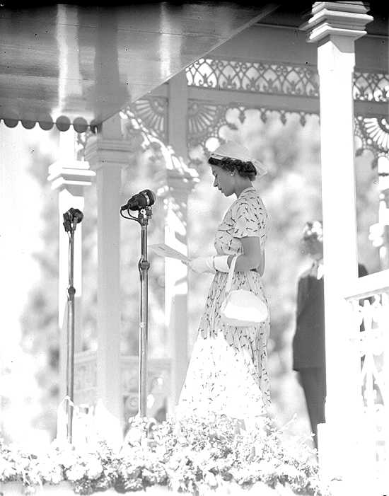
Royal tours of Australia by Australia's royal family have been taking place since 1867. Since then, there have been over fifty visits by a member of the Royal Family, though only six of those came before 1954. Elizabeth II is the only reigning monarch of Australia to have set foot on Australian soil; she first did so on 3 February 1954, when she was 27 years old. During her sixteen journeys, the Queen visited every Australian state and the two major territories. 19th century Prince Alfred's visit 1867–1868 The first member of the Royal Family to visit Australia was Prince Alfred, Duke of Edinburgh, son of Queen Victoria, in 1867. The trip was fraught with disaster. Prince Alfred arrived on board the HMS Galatea, which he was also Captain of, as part a world cruise. On 31 October 1867, he landed at South Australia and spent three weeks there. He toured South Australia, then attended the funeral of one of his ship's crew, who had accidentally drowned at Glenelg. He departed f ... [...More Info...] [...Related Items...] OR: [Wikipedia] [Google] [Baidu] |


