|
Alton Bay Seaplane Base
Alton Bay Seaplane Base is a state-owned, public-use seaplane base located in a cove of Lake Winnipesaukee. The base is two nautical miles (4 km) north of the central business district of Alton Bay, in Belknap County, New Hampshire, United States. Facilities and aircraft Alton Bay Seaplane Base has one seaplane landing area designated 1/19 and measuring 2,600 x 100 feet (792 x 30 m). For the 12-month period ending 31 December 2011, the airport had 600 general aviation aircraft operations, an average of 50 per month. During the winter months, the base may seasonally open an ice runway instead of the normal seaplane landing area. This is the only FAA approved ice runway in the contiguous United States. The earliest the ice runway has opened is January 10. It is required to close no later than March 15. See also * List of airports in New Hampshire This is a list of airports in New Hampshire, United States, grouped by type and sorted by location. It contains all public-use ... [...More Info...] [...Related Items...] OR: [Wikipedia] [Google] [Baidu] |
Alton Bay, New Hampshire
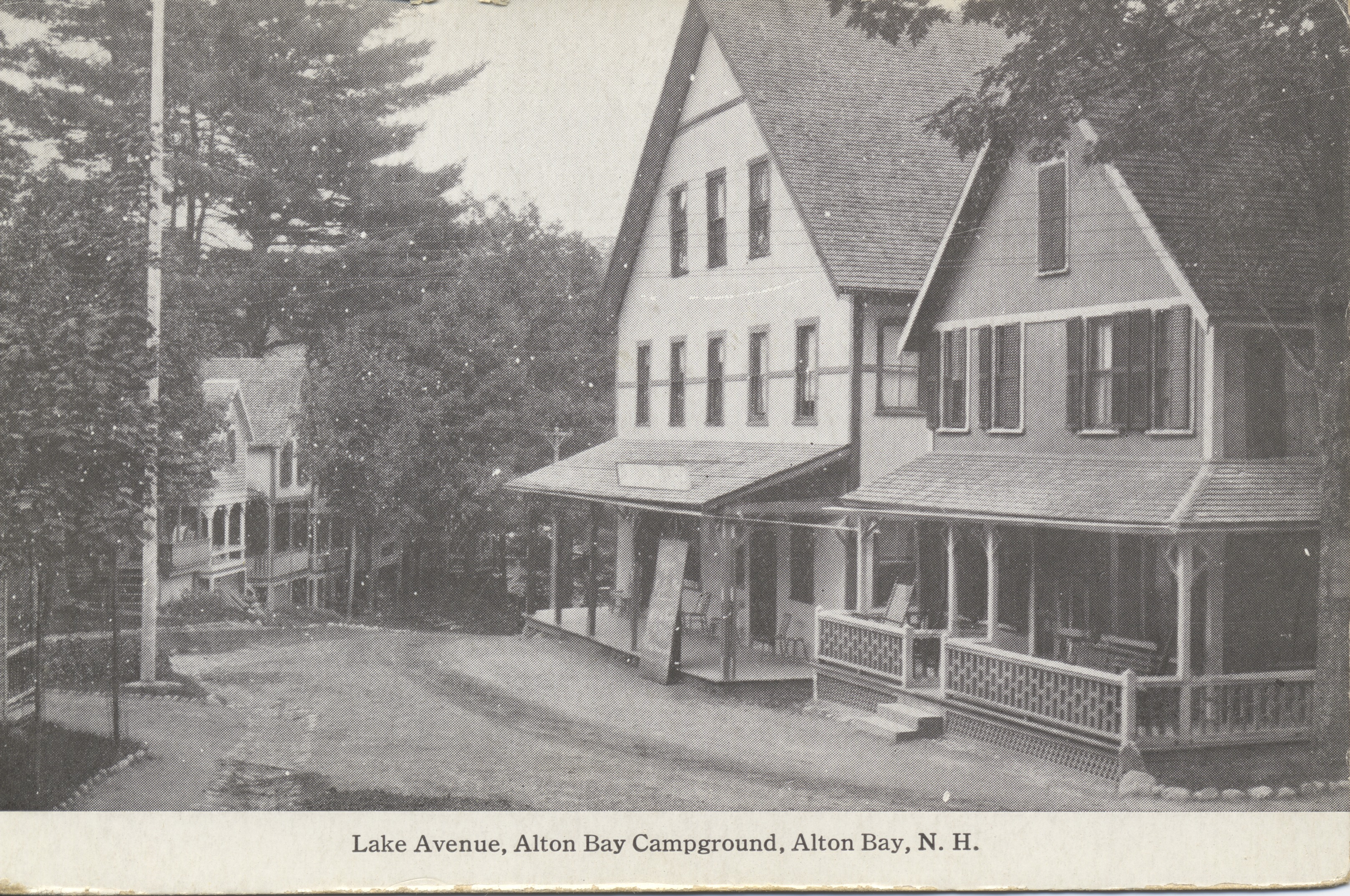
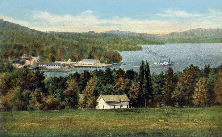
Alton Bay is an unincorporated community in the town of Alton, New Hampshire, United States, and is located on Alton Bay, a cove of Lake Winnipesaukee which forms the southernmost point on the lake. The village is part of the Lakes Region, a popular resort area of New Hampshire. Alton Bay is located at the intersection of New Hampshire Route 11 and Route 28A, north of the center of Alton. Route 11 is an east-west highway that crosses the entire state of New Hampshire, connecting Laconia to the west and Rochester to the east. Route 28A is a local highway that joins Route 28 north of Alton Bay. In 1851 the village became the terminus of the Cochecho Railroad from Dover, New Hampshire Dover is a city in Strafford County, New Hampshire, United States. The population was 32,741 at the 2020 census, making it the largest city in the New Hampshire Seacoast region and the fifth largest municipality in the state. It is the county se .... The rail line became the Lake Shore Railr ... [...More Info...] [...Related Items...] OR: [Wikipedia] [Google] [Baidu] |
Federal Aviation Administration
The Federal Aviation Administration (FAA) is the largest transportation agency of the U.S. government and regulates all aspects of civil aviation in the country as well as over surrounding international waters. Its powers include air traffic management, certification of personnel and aircraft, setting standards for airports, and protection of U.S. assets during the launch or re-entry of commercial space vehicles. Powers over neighboring international waters were delegated to the FAA by authority of the International Civil Aviation Organization. Created in , the FAA replaced the former Civil Aeronautics Administration (CAA) and later became an agency within the U.S. Department of Transportation. Major functions The FAA's roles include: *Regulating U.S. commercial space transportation *Regulating air navigation facilities' geometric and flight inspection standards *Encouraging and developing civil aeronautics, including new aviation technology *Issuing, suspending, or revoking ... [...More Info...] [...Related Items...] OR: [Wikipedia] [Google] [Baidu] |
Seaplane
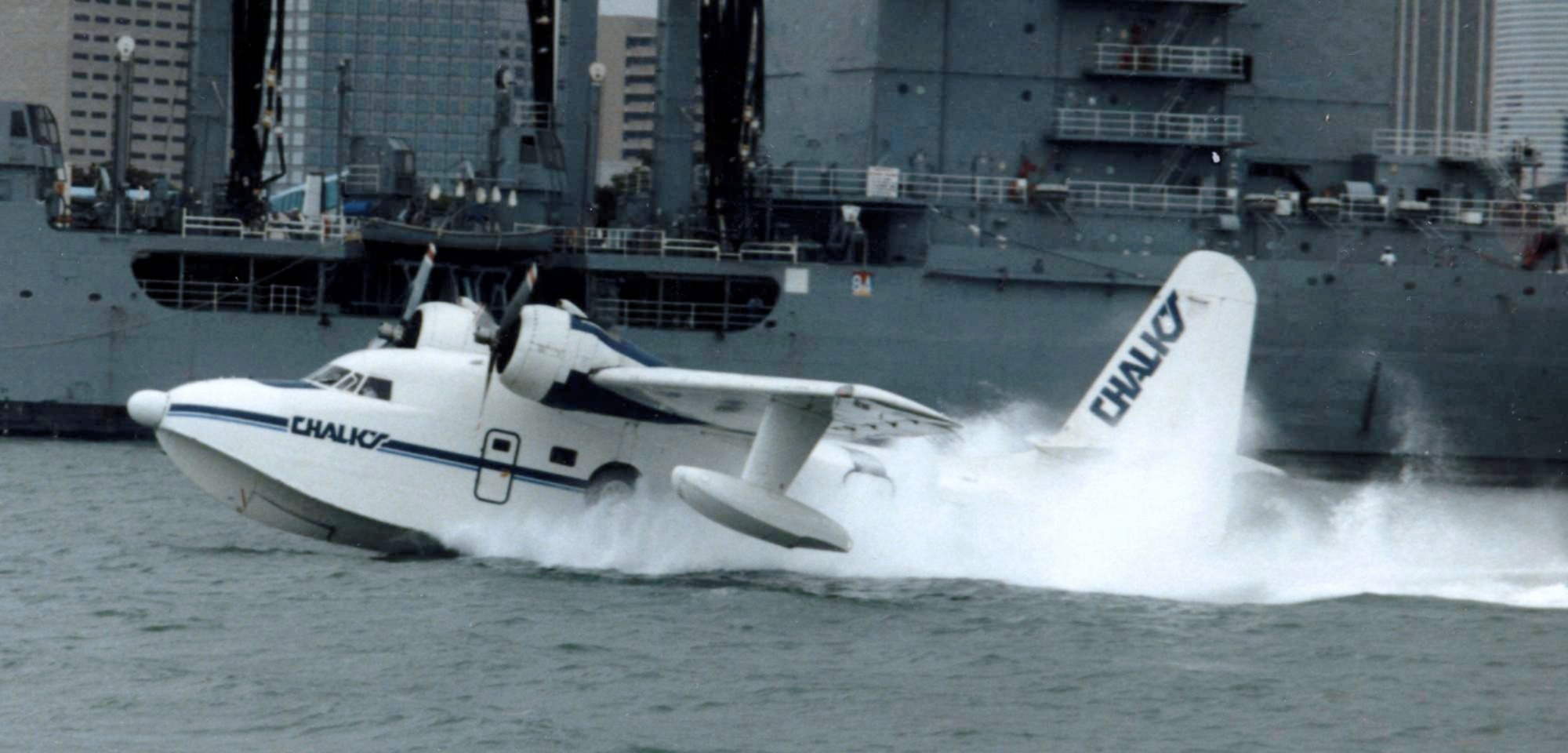
A seaplane is a powered fixed-wing aircraft capable of takeoff, taking off and water landing, landing (alighting) on water.Gunston, "The Cambridge Aerospace Dictionary", 2009. Seaplanes are usually divided into two categories based on their technological characteristics: floatplanes and flying boats; the latter are generally far larger and can carry far more. Seaplanes that can also take off and land on airfields are in a subclass called amphibious aircraft, or amphibians. Seaplanes were sometimes called ''hydroplanes'', but currently this term applies instead to Hydroplane (boat), motor-powered watercraft that use the technique of Planing (boat), hydrodynamic lift to skim the surface of water when running at speed. The use of seaplanes gradually tapered off after World War II, partially because of the investments in airports during the war but mainly because landplanes were less constrained by weather conditions that could result in sea states being too high to operate seaplan ... [...More Info...] [...Related Items...] OR: [Wikipedia] [Google] [Baidu] |
Lake Winnipesaukee
Lake Winnipesaukee () is the largest lake in the U.S. state of New Hampshire, located in the Lakes Region at the foothills of the White Mountains. It is approximately long (northwest-southeast) and from wide (northeast-southwest), covering — when Paugus Bay is included—with a maximum depth of . The center area of the lake is called The Broads. The lake contains at least 264 islands, half of which are less than in size, and is indented by several peninsulas, yielding a total shoreline of approximately . The driving distance around the lake is . It is above sea level. Winnipesaukee is the third-largest lake in New England after Lake Champlain and Moosehead Lake. Outflow is regulated by the Lakeport Dam in Lakeport, New Hampshire, on the Winnipesaukee River. History The Abenaki name ''Winnipesaukee'' (often spelled Winnipiseogee in earlier centuries) means either "smile of the Great Spirit" or "beautiful water in a high place". At the outlet of the lake, th ... [...More Info...] [...Related Items...] OR: [Wikipedia] [Google] [Baidu] |
Central Business District
A central business district (CBD) is the commercial and business centre of a city. It contains commercial space and offices, and in larger cities will often be described as a financial district. Geographically, it often coincides with the "city centre" or "downtown". However, these concepts are not necessarily synonymous: many cities have a central ''business'' district located away from its commercial and or cultural centre and or downtown/city centre, and there may be multiple CBDs within a single urban area. The CBD will often be characterised by a high degree of accessibility as well as a large variety and concentration of specialised goods and services compared to other parts of the city. For instance, Midtown Manhattan, New York City, is the largest central business district in the city and in the United States. London's city centre is usually regarded as encompassing the historic City of London and the medieval City of Westminster, while the City of London and the transform ... [...More Info...] [...Related Items...] OR: [Wikipedia] [Google] [Baidu] |
Belknap County, New Hampshire
Belknap County () is a county in the U.S. state of New Hampshire. As of the 2020 census, the population was 63,705. The county seat is Laconia. It is located in New Hampshire's Lakes Region, slightly southeast of the state's geographic center. Belknap County comprises the Laconia, NH Micropolitan Statistical Area, which in turn constitutes a portion of the Boston-Worcester-Providence, MA- RI-NH- CT Combined Statistical Area. The southwestern half of Lake Winnipesaukee lies in Belknap County, while several other major lakes such as Squam Lake and Lake Winnisquam lie partially or wholly within the county. The Belknap Mountains lie along the shore of Winnipesaukee east of Laconia and feature Mount Major, known for its numerous hiking trails and Gunstock Mountain, home of a popular ski resort. Bank of New Hampshire Pavilion is a concert venue in Gilford which features major national touring music acts, while the Laconia Motorcycle Week attracts hundreds of thousands of visit ... [...More Info...] [...Related Items...] OR: [Wikipedia] [Google] [Baidu] |
New Hampshire
New Hampshire is a U.S. state, state in the New England region of the northeastern United States. It is bordered by Massachusetts to the south, Vermont to the west, Maine and the Gulf of Maine to the east, and the Canadian province of Quebec to the north. Of the 50 U.S. states, New Hampshire is the List of U.S. states and territories by area, fifth smallest by area and the List of U.S. states and territories by population, tenth least populous, with slightly more than 1.3 million residents. Concord, New Hampshire, Concord is the state capital, while Manchester, New Hampshire, Manchester is the largest city. New Hampshire's List of U.S. state mottos, motto, "Live Free or Die", reflects its role in the American Revolutionary War; its state nickname, nickname, "The Granite State", refers to its extensive granite formations and quarries. It is well known nationwide for holding New Hampshire primary, the first primary (after the Iowa caucus) in the United States presidential election ... [...More Info...] [...Related Items...] OR: [Wikipedia] [Google] [Baidu] |
United States
The United States of America (U.S.A. or USA), commonly known as the United States (U.S. or US) or America, is a country primarily located in North America. It consists of 50 states, a federal district, five major unincorporated territories, nine Minor Outlying Islands, and 326 Indian reservations. The United States is also in free association with three Pacific Island sovereign states: the Federated States of Micronesia, the Marshall Islands, and the Republic of Palau. It is the world's third-largest country by both land and total area. It shares land borders with Canada to its north and with Mexico to its south and has maritime borders with the Bahamas, Cuba, Russia, and other nations. With a population of over 333 million, it is the most populous country in the Americas and the third most populous in the world. The national capital of the United States is Washington, D.C. and its most populous city and principal financial center is New York City. Paleo-Americ ... [...More Info...] [...Related Items...] OR: [Wikipedia] [Google] [Baidu] |
General Aviation
General aviation (GA) is defined by the International Civil Aviation Organization (ICAO) as all civil aviation aircraft operations with the exception of commercial air transport or aerial work, which is defined as specialized aviation services for other purposes. However, for statistical purposes ICAO uses a definition of general aviation which includes aerial work. General aviation thus represents the "private transport" and recreational components of aviation. Definition The International Civil Aviation Organization (ICAO) defines civil aviation aircraft operations in three categories: General Aviation (GA), Aerial Work (AW) and Commercial Air Transport (CAT). Aerial work operations are separated from general aviation by ICAO by this definition. Aerial work is when an aircraft is used for specialized services such as agriculture, construction, photography, surveying, observation and patrol, search and rescue, and aerial advertisement. However, for statistical purposes ... [...More Info...] [...Related Items...] OR: [Wikipedia] [Google] [Baidu] |
Contiguous United States
The contiguous United States (officially the conterminous United States) consists of the 48 adjoining U.S. states and the Federal District of the United States of America. The term excludes the only two non-contiguous states, Alaska and Hawaii (also the last ones admitted to the Union), and all other offshore insular areas, such as American Samoa, Guam, the Northern Mariana Islands, Puerto Rico, and the U.S. Virgin Islands. The colloquial term "Lower48" is used also, especially in relation to just Alaska (Hawaii is farther south). The related but distinct term continental United States includes Alaska (which is also on the continent of North America but separated from the 48 states by British Columbia and Yukon of Canada), but excludes the Hawaiian Islands and all U.S. territories in the Caribbean and the Pacific. The greatest distance (on a great-circle route) entirely within the contiguous U.S. is 2,802 miles (4,509 km), between Florida and the State of Washington; th ... [...More Info...] [...Related Items...] OR: [Wikipedia] [Google] [Baidu] |
List Of Airports In New Hampshire
This is a list of airports in New Hampshire, United States, grouped by type and sorted by location. It contains all public-use and military airports in the state. Some private-use and former airports may be included where notable, such as airports that were previously public-use, those with commercial enplanements recorded by the FAA or airports assigned an IATA airport code. Airports See also * Essential Air Service * New Hampshire World War II Army Airfields * Wikipedia:WikiProject Aviation/Airline destination lists: North America#New Hampshire References Federal Aviation Administration (FAA): FAA Airport Data (Form 5010)from National Flight Data Center (NFDC), also available froAirportIQ 5010National Plan of Integrated Airport Systems for 2009–2013 updated 15 October 2008 Passenger Boarding (Enplanement) Data for CY 2008 updated 18 December 2009 New Hampshire Department of Transportation (NHDOT): Bureau of Aeronautics Other sites used as a reference when compili ... [...More Info...] [...Related Items...] OR: [Wikipedia] [Google] [Baidu] |
Airports In New Hampshire
This is a list of airports in New Hampshire, United States, grouped by type and sorted by location. It contains all public-use and military airports in the state. Some private-use and former airports may be included where notable, such as airports that were previously public-use, those with commercial enplanements recorded by the FAA or airports assigned an IATA airport code. Airports See also * Essential Air Service * New Hampshire World War II Army Airfields * Wikipedia:WikiProject Aviation/Airline destination lists: North America#New Hampshire References Federal Aviation Administration (FAA): FAA Airport Data (Form 5010)from National Flight Data Center (NFDC), also available froAirportIQ 5010National Plan of Integrated Airport Systems for 2009–2013 updated 15 October 2008 Passenger Boarding (Enplanement) Data for CY 2008 updated 18 December 2009 New Hampshire Department of Transportation (NHDOT): Bureau of Aeronautics Other sites used as a reference when ... [...More Info...] [...Related Items...] OR: [Wikipedia] [Google] [Baidu] |


.jpg)

.jpg)
