|
Allerton, The Bronx
Allerton is a working-class neighborhood geographically located in the East Bronx section of the Bronx, New York City. It is named in honor of Daniel Allerton, an early Bronx settler who purchased and farmed this area with his wife Hustace. It consists of two subsections called Bronxwood and Laconia. Its boundaries, starting from the north and moving clockwise, are Adee Avenue, Boston Road, and Gun Hill Road to the northeast; the IRT Dyre Avenue Line () to the east; Waring Avenue to the south; and Bronx River Parkway to the west. White Plains Road and Boston Road are the primary thoroughfares through Allerton. The neighborhood is part of Bronx Community Board 11, and its ZIP Code is 10467. The area is patrolled by the NYPD's 49th Precinct. The local subway is the IRT White Plains Road Line, served by the . History Allerton Avenue was ethnically divided in the 1950s through the 1980s by a distinct separation of Jewish and Italian residents. Primarily a commercial avenue west ... [...More Info...] [...Related Items...] OR: [Wikipedia] [Google] [Baidu] |
Neighborhoods In The Bronx
This article features a list of neighborhoods in the Bronx, one of the five New York City Borough, boroughs of New York City. When using this article, note that names of many (but not all) neighborhoods in the Bronx are popular based on their historical pedigree and the livability factor. However, this is not true for all neighborhoods in the Bronx; while someone living at East 213th Street & White Plains Road might prefer to describe their location simply as "Gun Hill Road (road), Gun Hill Road" (a nearby thoroughfare) rather than "Williamsbridge". Other neighborhood names have greater popularity. For example, Riverdale, Bronx, Riverdale was once home to John F. Kennedy and is known for its affluence, large mansions, and proximity to amenities. Throggs Neck has Throgs Neck Bridge, a bridge named for it, and the neighborhood is known for waterfront beach communities located on the Long Island Sound. Regions of the Bronx Generally speaking, there are two major systems of dividin ... [...More Info...] [...Related Items...] OR: [Wikipedia] [Google] [Baidu] |
Boston Road (Bronx)
The Boston Post Road was a system of mail-delivery routes between New York City and Boston, Massachusetts, that evolved into one of the first major highways in the United States. The three major alignments were the Lower Post Road (now U.S. Route 1 (US 1) along the shore via Providence, Rhode Island), the Upper Post Road (now US 5 and US 20 from New Haven, Connecticut, by way of Springfield, Massachusetts), and the Middle Post Road (which diverged from the Upper Road in Hartford, Connecticut, and ran northeastward to Boston via Pomfret, Connecticut). In some towns, the area near the Boston Post Road has been placed on the National Register of Historic Places, since it was often the first road in the area, and some buildings of historical significance were built along it. The Boston Post Road Historic District, including part of the road in Rye, New York, has been designated a National Historic Landmark. The Post Road is also famous for milestones that da ... [...More Info...] [...Related Items...] OR: [Wikipedia] [Google] [Baidu] |
Irish American
Irish Americans () are Irish ethnics who live within in the United States, whether immigrants from Ireland or Americans with full or partial Irish ancestry. Irish immigration to the United States From the 17th century to the mid-19th century Some of the first Irish people to travel to the New World did so as members of the Spanish colonization of the Americas, Spanish garrison in Spanish Florida, Florida during the 1560s. Small numbers of Irish colonists were involved in efforts to establish colonies in the Amazon basin, Amazon region, in Newfoundland, and in Virginia between 1604 and the 1630s. According to historian Donald Akenson, there were "few if any" Irish forcibly transported to the Americas during this period. Irish immigration to the Americas was the result of a series of complex causes. The Tudor conquest of Ireland, Tudor conquest and Plantations of Ireland, subsequent colonization by English and Scots people during the 16th and 17th centuries had led ... [...More Info...] [...Related Items...] OR: [Wikipedia] [Google] [Baidu] |
Manhattan
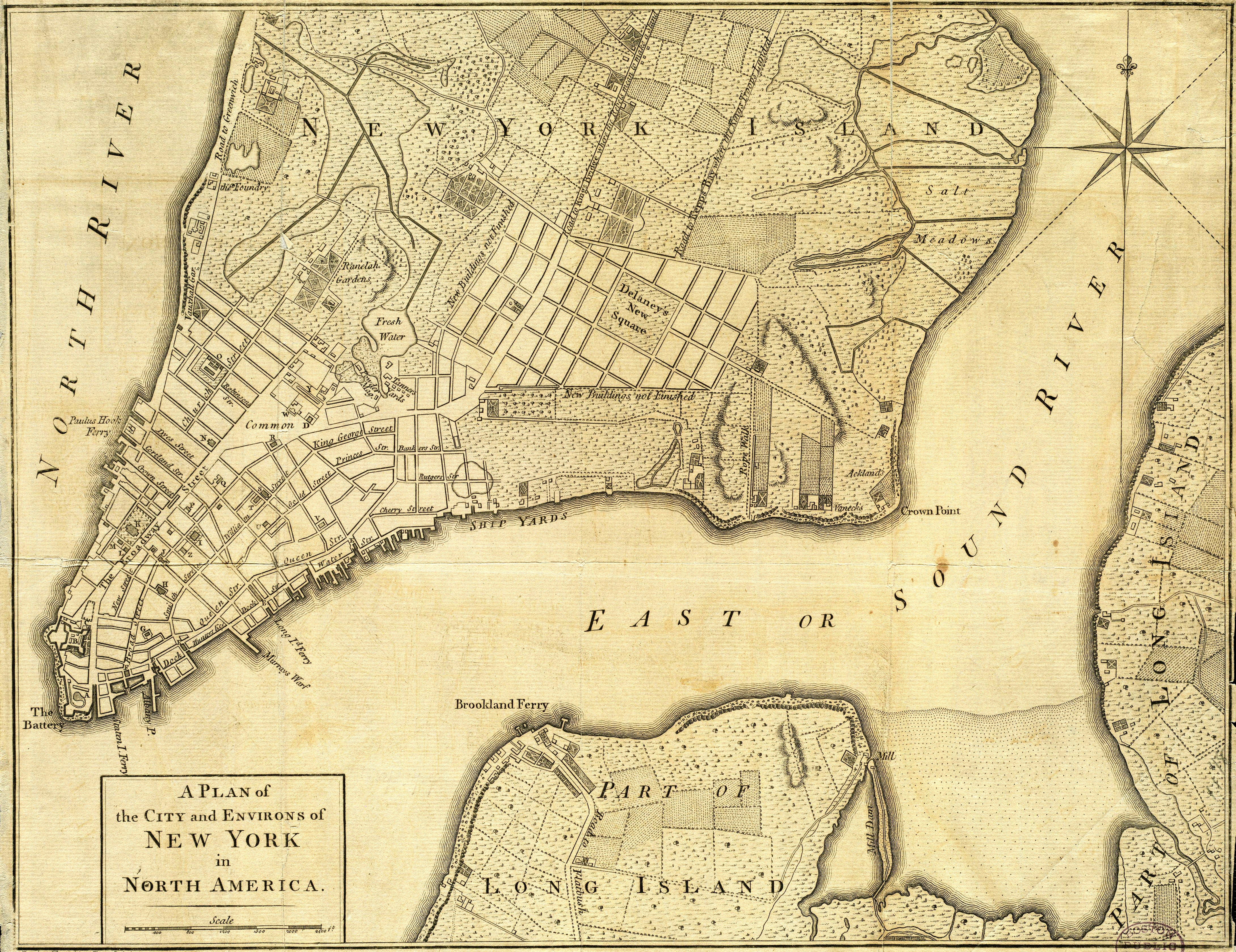
Manhattan ( ) is the most densely populated and geographically smallest of the Boroughs of New York City, five boroughs of New York City. Coextensive with New York County, Manhattan is the County statistics of the United States#Smallest, largest, and average area per state and territory, smallest county by area in the U.S. state of New York (state), New York. Located almost entirely on Manhattan Island near the southern tip of the state, Manhattan constitutes the center of the Northeast megalopolis and the urban core of the New York metropolitan area. Manhattan serves as New York City's Economy of New York City, economic and Government of New York City, administrative center and has been described as the cultural, financial, Media in New York City, media, and show business, entertainment capital of the world. Present-day Manhattan was originally part of Lenape territory. European settlement began with the establishment of a trading post by Dutch colonization of the Americas, D ... [...More Info...] [...Related Items...] OR: [Wikipedia] [Google] [Baidu] |
Williamsbridge, Bronx
Williamsbridge is a neighborhood geographically located in the north-central portion of the Bronx in New York City. Its boundaries, starting from the north and moving clockwise are East 222nd Street to the north, Boston Road to the east, Adee Avenue to the south, and the Bronx River to the west. White Plains Road is the primary thoroughfare through Williamsbridge. The neighborhood is part of Bronx Community Board 12 and its ZIP Codes include 10466, 10467, and 10469. The area is patrolled by the 47th Precinct of the New York City Police Department. New York City Housing Authority (NYCHA) property in the area is patrolled by P.S.A. 8 at 2794 Randall Avenue in the Throggs Neck section of the Bronx. History According to the New York City Parks Department, Williamsbridge was named for 18th Century farmer John Williams, who had a farm on the east bank of the Bronx River in the vicinity of Gun Hill Road and White Plains Road, and was credited with building the first bridge over ... [...More Info...] [...Related Items...] OR: [Wikipedia] [Google] [Baidu] |
Pelham Parkway (neighborhood), Bronx
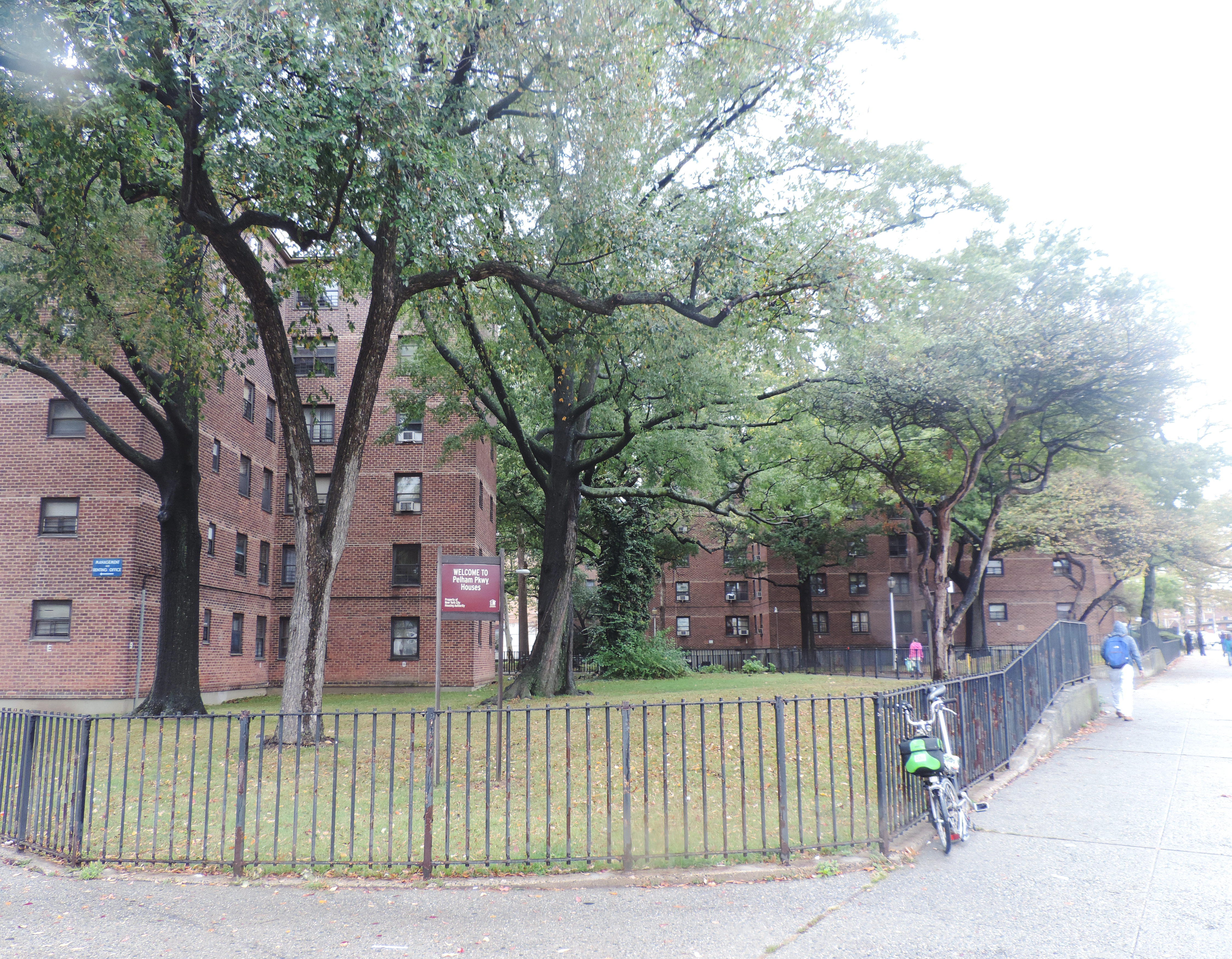
Pelham Parkway is a working- and middle-class residential neighborhood geographically located in the center of the Bronx, a borough of New York City in the United States. Its boundaries, starting from the north and moving clockwise are: Pelham Parkway South, to the east the IRT Dyre Avenue Line tracks () and to the south Bronxdale Avenue and to the west, Bronx Park East. White Plains Road is the primary commercial thoroughfare through Pelham Parkway. The neighborhood is named after Pelham Parkway, a major west–east parkway that travels through the East Bronx. Pelham Parkway is part of Bronx Community District 11 and its primary ZIP Codes are 10461 and 10462. It is patrolled by the New York City Police Department's 49th Precinct. History The road named Pelham Parkway was officially called the Bronx and Pelham Parkway since it connects Bronx Park and Pelham Bay Park. It is also an integral part of the Mosholu-Pelham Greenway. The road was established in 1911 and was or ... [...More Info...] [...Related Items...] OR: [Wikipedia] [Google] [Baidu] |
Boston Post Road
The Boston Post Road was a system of mail-delivery routes between New York City and Boston, Massachusetts, that evolved into one of the first major highways in the United States. The three major alignments were the Lower Post Road (now U.S. Route 1 (US 1) along the shore via Providence, Rhode Island), the Upper Post Road (now US 5 and US 20 from New Haven, Connecticut, by way of Springfield, Massachusetts), and the Middle Post Road (which diverged from the Upper Road in Hartford, Connecticut, and ran northeastward to Boston via Pomfret, Connecticut). In some towns, the area near the Boston Post Road has been placed on the National Register of Historic Places, since it was often the first road in the area, and some buildings of historical significance were built along it. The Boston Post Road Historic District, including part of the road in Rye, New York, has been designated a National Historic Landmark. The Post Road is also famous for milestones that d ... [...More Info...] [...Related Items...] OR: [Wikipedia] [Google] [Baidu] |
Italian American
Italian Americans () are Americans who have full or partial Italians, Italian ancestry. The largest concentrations of Italian Americans are in the urban Northeastern United States, Northeast and industrial Midwestern United States, Midwestern urban areas, metropolitan areas, with significant communities also residing in many other major U.S. metropolitan areas. Between 1820 and 2004, approximately 5.5 million Italians migrated to the United States during the Italian diaspora, in several distinct waves, with the greatest number arriving in the 20th century from Southern Italy. Initially, most single men, so-called birds of passage, sent remittance back to their families in Italy and then returned to Italy. Immigration began to increase during the 1880s, when more than twice as many Italians immigrated than had in the five previous decades combined. Continuing from 1880 to 1914, the greatest surge of immigration brought more than 4 million Italians to the United States. Th ... [...More Info...] [...Related Items...] OR: [Wikipedia] [Google] [Baidu] |
Jewish American
American Jews (; ) or Jewish Americans are American citizens who are Jewish, whether by culture, ethnicity, or religion. According to a 2020 poll conducted by Pew Research, approximately two thirds of American Jews identify as Ashkenazi, 3% identify as Sephardic, and 1% identify as Mizrahi. An additional 6% identify as some combination of the three categories, and 25% do not identify as any particular category. During the colonial era, Sephardic Jews who arrived via Portugal and via Brazil ( Dutch Brazil) – see Congregation Shearith Israel – represented the bulk of America's then small Jewish population. While their descendants are a minority nowadays, they represent the remainder of those original American Jews along with an array of other Jewish communities, including more recent Sephardi Jews, Mizrahi Jews, Beta Israel-Ethiopian Jews, various other Jewish ethnic groups, as well as a smaller number of gerim (converts). The American Jewish community manifests a wide ... [...More Info...] [...Related Items...] OR: [Wikipedia] [Google] [Baidu] |
IRT White Plains Road Line
The White Plains Road Line is a rapid transit line of the A Division of the New York City Subway serving the central Bronx The Bronx ( ) is the northernmost of the five Boroughs of New York City, boroughs of New York City, coextensive with Bronx County, in the U.S. state of New York (state), New York. It shares a land border with Westchester County, New York, West .... It is mostly elevated and served both subway and elevated trains until 1952. The original part of the line, the part opened as part of the first subway was called the West Farms Division, and the extension north to 241st Street as part of the Dual Contracts was called the White Plains Road Line. Eventually, however, the two parts came to be known as the White Plains Road Line. It is currently being used by the 2 at all times and the 5 at all times except late nights. During rush hours in the peak direction, the 5 runs express between East 180th Street and Third Avenue–149th Street. During late nig ... [...More Info...] [...Related Items...] OR: [Wikipedia] [Google] [Baidu] |
New York City Police Department
The City of New York Police Department, also referred to as New York City Police Department (NYPD), is the primary law enforcement agency within New York City. Established on May 23, 1845, the NYPD is the largest, and one of the oldest, municipal police departments in the United States. The NYPD is headquartered at 1 Police Plaza, located on Park Row in Lower Manhattan near City Hall. The NYPD's regulations are compiled in title 38 of the '' New York City Rules''. Dedicated units of the NYPD include the Emergency Service Unit, K-9, harbor patrol, highway patrol, air support, bomb squad, counterterrorism, criminal intelligence, anti-organized crime, narcotics, mounted patrol, public transportation, and public housing units. The NYPD employs over 40,000 people, including more than 30,000 uniformed officers as of September 2023. According to the official CompStat database, the NYPD responded to nearly 500,000 reports of crime and made over 200,000 arrests during 2 ... [...More Info...] [...Related Items...] OR: [Wikipedia] [Google] [Baidu] |
White Plains Road
White Plains Road is a major north-south thoroughfare which runs the length of the New York City borough of the Bronx. It runs from Castle Hill and Clason Point in the south to Wakefield in the north, where it crosses the city line and becomes West 1st Street of Mount Vernon, New York. The Bronx River Parkway lies to its west and parallels much of its route. Between Magenta Street & 217th Street, White Plains Road is very wide due to the presence of the Gun Hill Road station house in the road's median. Historically, the route ran through an alignment through Mount Vernon by way of modern First Street, Lincoln Avenue (and Clinton Street), where it continued along modern North Columbus Ave. The route further continued with the current alignment Hussey Road across the Cross County Parkway, merging again with current North Columbus Avenue (modern NY 22-Columbus Avenue was known as "Central Blvd" into the 1960s between current Hussey Road and the Cross County Parkway, as the re ... [...More Info...] [...Related Items...] OR: [Wikipedia] [Google] [Baidu] |


