|
All Idu Mishmi Students Union
All Idu Mishmi Students Union (AIMSU) is a community-based student’s organization of Idu Mishmi tribe in Arunachal Pradesh, India. The organization is socially active and best known for its movement against dams in Arunachal Pradesh's Dibang basin.http://arunachalnews.com/3000-mw-dibang-project-in-loggerhead-between-nhpc-aimsu.html It has been leading people's movement against execution of NHPC’s proposed Dibang dam The Dibang Dam is a planned concrete gravity dam, located in the Lower Dibang Valley District in Arunachal Pradesh, India. If constructed, it will be India's largest dam and the world's tallest concrete gravity dam, standing tall. The Dibang Dam .... Structure The organization is headed by President and General Secretary and a 15-member advisory board led by Chief Adviser. Focuses According to Malo Linggi, President of the union, "AIMSU will work for upliftment of Idu Mishmi people. The deprivation of Idu youths in employment on matters of appointment in ... [...More Info...] [...Related Items...] OR: [Wikipedia] [Google] [Baidu] |
Roing
Roing is the district headquarter of Lower Dibang Valley district in the Indian state of Arunachal Pradesh. It is the last major township at the north-eastern frontier of India. Demographics As of 2011 India census, Roing had a population of 11,389 of which 6,064 are males while 5,325 are females. Roing has an average literacy rate of 88.39%, higher than the national average of 65.38%: male literacy is 91.94%, and female literacy is 84.35%. The population of Children age 0-6 is 1157 which is 10.16% of the total population of Roing. The female Sex Ratio is 878 against the state average of 938. Moreover, the Child Sex Ratio in Roing is around 875 compared to the Arunachal Pradesh state average of 972. Roing has total administration over 2,617 houses to which it supplies basic amenities like water and sewerage. Both Adi and Mishmi ( Idu) are the principal indigenous dwellers of Roing. Notable tourist attractions arMehao wild life sanctuary [...More Info...] [...Related Items...] OR: [Wikipedia] [Google] [Baidu] |
Anini
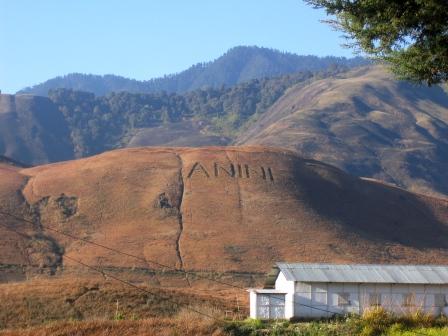
Anini is the headquarters of the Dibang Valley district in the state of Arunachal Pradesh in Northeast India. Anini was also the district headquarters of the undivided Dibang Valley district. Most of this location's population consists of the Idu Mishmi tribal people. Due to its remote location, Anini remains a small and underdeveloped town. However, it still has basic road and air links to the rest of India. The town is fully dependent on the nearest major settlement, Roing, which is in the Lower Dibang Valley District, for most commercial needs. The Anini sub-division consists of six administrative circles— Anini, Mipi, Dambeun, Etalin, Anelih, and Arzoo. Etymology While there is no definite answer, Anini's name may have come from Inini or Innini. Historical maps of Arunachal Pradesh from times before the Lower Dibang Valley district were carved out of the Dibang Valley District in 2001. Before Roing was established, these maps indicate the capital of the Dibang Valley Di ... [...More Info...] [...Related Items...] OR: [Wikipedia] [Google] [Baidu] |
Arunachal Pradesh
Arunachal Pradesh (, ) is a state in Northeastern India. It was formed from the erstwhile North-East Frontier Agency (NEFA) region, and became a state on 20 February 1987. It borders the states of Assam and Nagaland to the south. It shares international borders with Bhutan in the west, Myanmar in the east, and a disputed border with China in the north at the McMahon Line. Itanagar is the state capital of Arunachal Pradesh. Arunachal Pradesh is the largest of the Seven Sister States of Northeast India by area. Arunachal Pradesh shares a 1,129 km border with China's Tibet Autonomous Region. As of the 2011 Census of India, Arunachal Pradesh has a population of 1,382,611 and an area of . It is an ethnically diverse state, with predominantly Monpa people in the west, Tani people in the centre, Mishmi and Tai people in the east, and Naga people in the southeast of the state. About 26 major tribes and 100 sub-tribes live in the state. The main tribes of the state are Adi, Nyshi ... [...More Info...] [...Related Items...] OR: [Wikipedia] [Google] [Baidu] |
National Hydroelectric Power Corporation
NHPC Limited (erstwhile National Hydroelectric Power Corporation ) is an Indian government hydropower board under the ownership of Ministry of Power, Government of India that was incorporated in the year 1975 with an authorised capital of ₹2,000 million and with an objective to plan, promote and organise an integrated and efficient development of hydroelectric power in all aspects. Recently it has expanded to include other sources of energy like Solar, Geothermal, Tidal, Wind etc. At present, NHPC is a Mini Ratna Category-I Enterprise of the Govt. of India with an authorised share capital of ₹ Million . With an investment base of over ₹ Million Approx., NHPC is among the top ten companies in the country in terms of investment. Baira Suil Power station in alooniTehsil of Chamba district was the first project undertaken by NHPC. Public Limited Company NHPC is listed on the National Stock Exchange and Bombay Stock Exchange on 1 September 2009. The government o ... [...More Info...] [...Related Items...] OR: [Wikipedia] [Google] [Baidu] |
Dibang Dam
The Dibang Dam is a planned concrete gravity dam, located in the Lower Dibang Valley District in Arunachal Pradesh, India. If constructed, it will be India's largest dam and the world's tallest concrete gravity dam, standing tall. The Dibang Dam is expected to provide up to 3,000 megawatts of hydroelectric power and will also assist with flood control in the Dibang Valley. History The foundation stone for the dam was laid on 31 January 2008 by Prime Minister Manmohan Singh. Construction on the project, however, has yet to begin. In 2013, the Ministry of Environment and Forests rejected the project's application but NHPC Limited resubmitted it in 2014. The dam has also been under intense local and international opposition to its tentative negative environmental impacts and forced relocations of Idu Mishmi tribal peoples. The Modi government gave a renewed go-ahead for the project in 2019. The main purpose of the project will be flood control and electricity generation. As of 2020 ... [...More Info...] [...Related Items...] OR: [Wikipedia] [Google] [Baidu] |
Itanagar
Itanagar () is the capital and largest town of the Indian state of Arunachal Pradesh. The seat of Arunachal Pradesh Legislative Assembly, the seat of government of Arunachal Pradesh, and the seat of Gauhati High Court permanent bench at Naharlagun are all in Itanagar. Being the hub of all the major economic bases, Itanagar along with the adjacent town of Naharlagun comprising the administrative region of Itanagar Capital Complex Region stretching from the Itanagar Municipal limit at Chandranagar Town extended till Nirjuli Town, is a major junction of Cultural, economic, fashion, education and recreational activities. Geography Itanagar is located at . It has an average elevation of 320 metres. Climate Itanagar features a humid subtropical climate (Köppen: ''Cwa''), with dry, warm winters and hot, unpleasantly humid and wet summers. Culture People Itanagar is inhabited by a number of tribes viz., Nyishi, Adi, Apatani, Tagin, Galo, Nyishis are the aborigines of the ci ... [...More Info...] [...Related Items...] OR: [Wikipedia] [Google] [Baidu] |
Dibang Valley
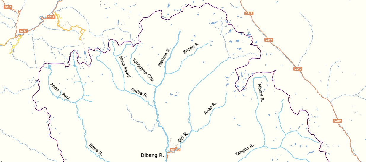
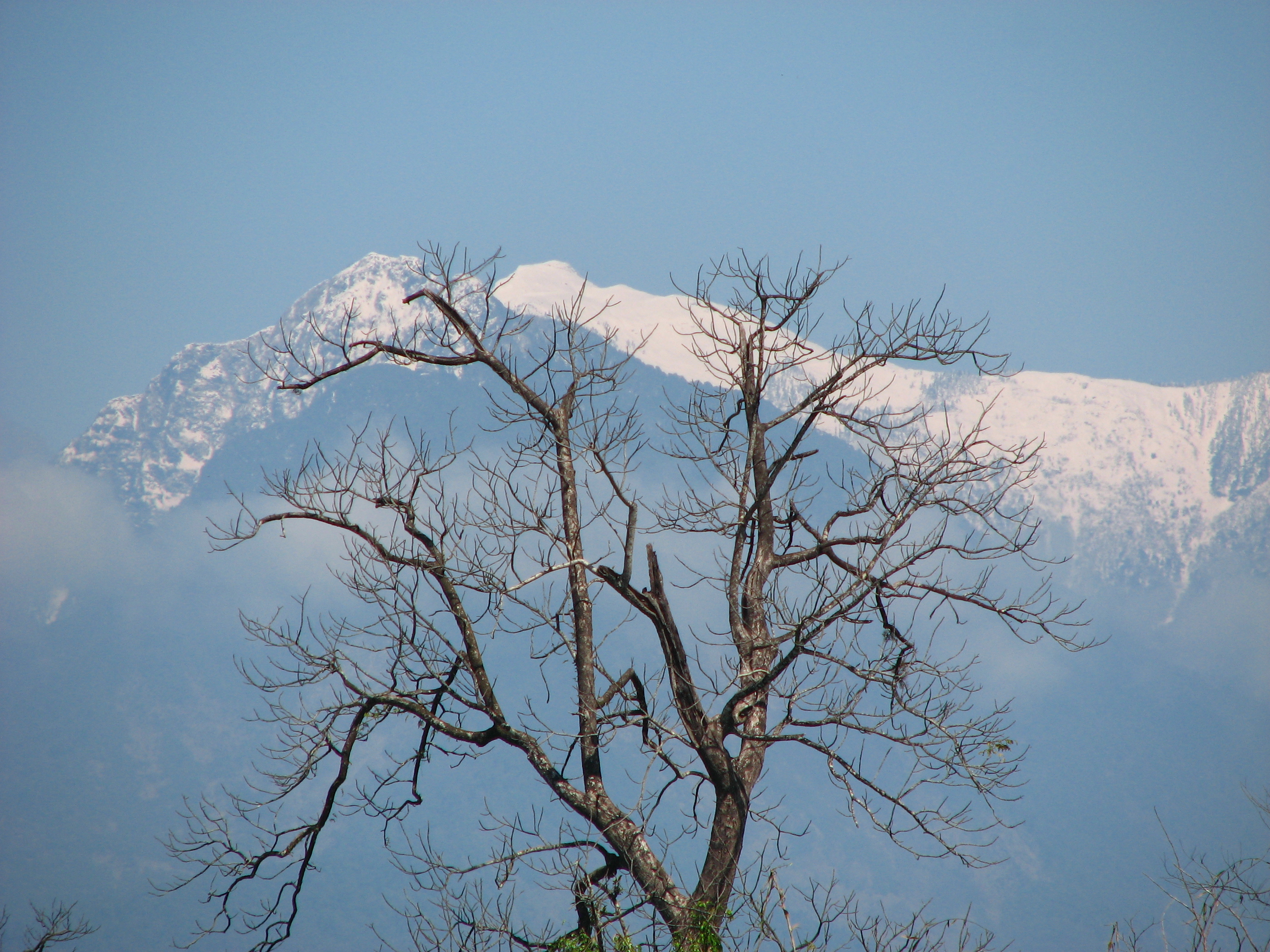
Dibang Valley (Pron:/dɪˈbæŋ/) is a district of Arunachal Pradesh named after the Dibang River or the Talon as the Mishmis call it. It is the least populated district in India and has an area of . History In June 1980, Dibang Valley district was created out of part of Lohit district. On 16 December 2001, Dibang Valley district was bifurcated into Dibang Valley district and Lower Dibang Valley district. Geography The Dibang River originates in the mountains of Arunachal Pradesh and flows through the length of the valley which is named after it. The Dibang has multiple tributaries and only once it debouches into the plains is it called by its name. Some of the major rivers of Dibang Valley District are: Ahui, Emra, Mathun, Dri, Tangon, Ithun, and Ange. The capital of this district, Anini, is the northernmost district capital in Northeast India. This district contains the northernmost point of Northeast India. Transport The proposed Mago-Thingbu to Vijaynagar Arunachal P ... [...More Info...] [...Related Items...] OR: [Wikipedia] [Google] [Baidu] |
Lower Dibang Valley
The Lower Dibang Valley district (Pron:/dɪˈbæŋ/) is an administrative district in the state of Arunachal Pradesh in northeastern India. It is the tenth least populous district in the country. History In June 1980, the Dibang Valley district was created from part of the Lohit district. On 16 December 2001, the Dibang Valley district was bifurcated into Dibang Valley district and Lower Dibang Valley district. Geography and timeline The headquarters of the district is Roing. Before it was carved out of the district on 16 December 2001, Anini housed the district headquarters. Transport The proposed Arunachal Pradesh Frontier Highway goes along the McMahon Line, and will pass through the Lower Dibang Valley district. An alignment map can be seehereanhere It will intersect with the proposed East-West Industrial Corridor Highway. Divisions There are two Arunachal Pradesh Legislative Assembly constituencies located in this district: Dambuk and Roing. Both are part of the Aruna ... [...More Info...] [...Related Items...] OR: [Wikipedia] [Google] [Baidu] |


.jpg)


