|
Al Hamriyah
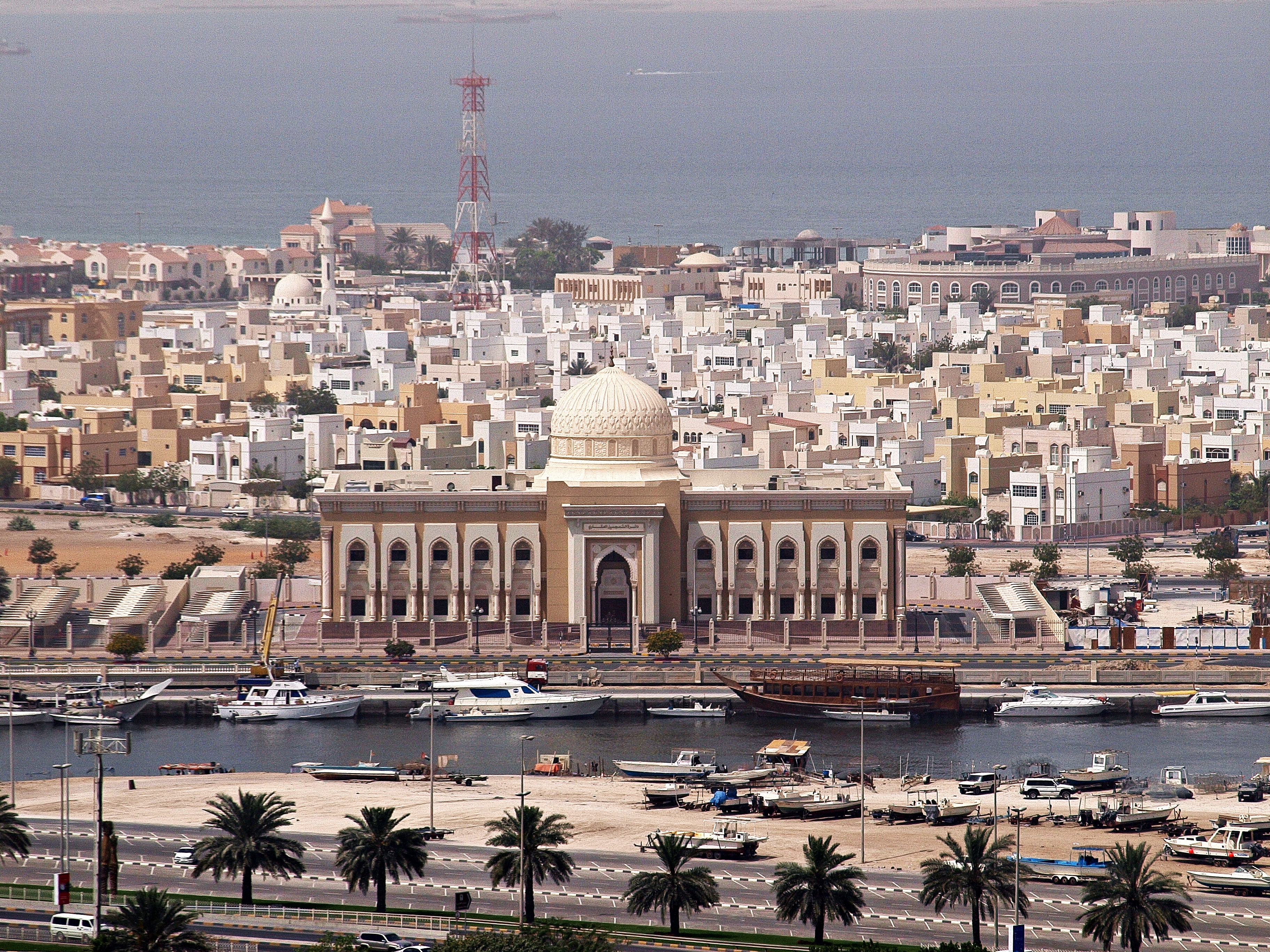
Al Hamriyah is the name of a coastal settlement of Sharjah on the northern perimeter of the United Arab Emirates. It is one of nine municipalities of the emirate, and is wedged between the emirates of Ajman (south) and Umm Al Qawain (north). It is notable for its lagoon popular with pleasure boaters and jet skiers as well as local fishermen who moor here, as well as storing and repairing both rope and wire mesh fishing nets. The village is not to be confused with the Hamriyah Port and Free Zone, which lie immediately to the south of it. It is traditionally home to families belonging to the Darawishah section of the Al Bu Shamis Na'im, linked through this relationship to the area of Sharjah bounding immediately to the south of Ajman, Al Heera. These would be associated with the modern Emirati family name ''Alshamsi''. History Going un-noted in early 19th-century British coastal surveys, Al Hamriyah struggled for independence in the late 19th century as a result of alleged negl ... [...More Info...] [...Related Items...] OR: [Wikipedia] [Google] [Baidu] |
United Arab Emirates
The United Arab Emirates (UAE; ar, اَلْإِمَارَات الْعَرَبِيَة الْمُتَحِدَة ), or simply the Emirates ( ar, الِْإمَارَات ), is a country in Western Asia (The Middle East). It is located at the eastern end of the Arabian Peninsula and shares borders with Oman and Saudi Arabia, while having maritime borders in the Persian Gulf with Qatar and Iran. Abu Dhabi is the nation's capital, while Dubai, the most populous city, is an international hub. The United Arab Emirates is an elective monarchy formed from a federation of seven emirates, consisting of Abu Dhabi (the capital), Ajman, Dubai, Fujairah, Ras Al Khaimah, Sharjah and Umm Al Quwain. Each emirate is governed by an emir and together the emirs form the Federal Supreme Council. The members of the Federal Supreme Council elect a president and vice president from among their members. In practice, the emir of Abu Dhabi serves as president while the ruler of Dubai is vice pre ... [...More Info...] [...Related Items...] OR: [Wikipedia] [Google] [Baidu] |
Sharjah (emirate)
The Emirate of Sharjah (; ar, إِمَارَة ٱلشَّارِقَة ') is one of the emirates of the United Arab Emirates, which covers and has a population of over 1,400,000 (2015). It comprises the capital city of Sharjah, after which it is named, and other minor towns and exclaves such as Kalba', Al Dhaid, Dibba Al-Hisn and Khor Fakkan. The emirate is an absolute monarchy. It has been ruled by Sultan bin Muhammad Al-Qasimi since 1972, except for a six-day period during an attempted coup d'etat by his brother, Sheikh Abdulaziz bin Mohammed Al-Qasimi. History Human settlement in the area covered by the emirate has existed for over 120,000 years, with significant finds made of early axes and stone tools as well as Copper and Iron Age implements in Al Dhaid, Al Thuqeibah, Mileiha, Tell Abraq, Muwailah, Al Madam and Jebel Faya. Archaeological finds in the Mleiha area point to human habitation consistent with the spread of humanity from Africa to the wider world, evidenced ... [...More Info...] [...Related Items...] OR: [Wikipedia] [Google] [Baidu] |
Map Of The Municipalities In The Emirate Of Sharjah (UAE)
A map is a symbolic depiction emphasizing relationships between elements of some space, such as objects, regions, or themes. Many maps are static, fixed to paper or some other durable medium, while others are dynamic or interactive. Although most commonly used to depict geography, maps may represent any space, real or fictional, without regard to context or scale, such as in brain mapping, DNA mapping, or computer network topology mapping. The space being mapped may be two dimensional, such as the surface of the earth, three dimensional, such as the interior of the earth, or even more abstract spaces of any dimension, such as arise in modeling phenomena having many independent variables. Although the earliest maps known are of the heavens, geographic maps of territory have a very long tradition and exist from ancient times. The word "map" comes from the , wherein ''mappa'' meant 'napkin' or 'cloth' and ''mundi'' 'the world'. Thus, "map" became a shortened term referring to ... [...More Info...] [...Related Items...] OR: [Wikipedia] [Google] [Baidu] |
Ajman
Ajman ( ar, عجمان, '; Gulf Arabic: عيمان ʿymān) is the capital of the emirate of Ajman in the United Arab Emirates. It is the fifth-largest city in UAE after Dubai, Abu Dhabi, Sharjah and Al Ain. Located along the Persian Gulf, it is engulfed by the larger emirate of Sharjah in territory. History Al Bu Kharaiban Nuaimi rule in Ajman started in 1816, when Sheikh Rashid bin Humaid Al Nuaimi and fifty of his followers took the coastal settlement of Ajman from members of the Al Bu Shamis Nuaimi tribe in a short conflict. It wasn't until 1816 or 1817, however, that the Ajman fort finally fell to Rashid's followers and his rule was endorsed by the powerful Sheikh of neighbouring Sharjah and Ras Al Khaimah, Sheikh Sultan bin Saqr Al Qasimi. On 8 January 1820, following the sack of Ras Al Khaimah by a British force led by Sir W.G. Keir, Sultan bin Saqr signed the General Maritime Treaty with the United Kingdom on 4 February 1820, followed on 15 March by Rashid bin Humaid ... [...More Info...] [...Related Items...] OR: [Wikipedia] [Google] [Baidu] |
Umm Al-Quwain
Umm Al Quwain is the capital and largest city of the Emirate of Umm Al Quwain in the United Arab Emirates. The city is located on the peninsula of Khor Al Bidiyah, with the nearest major cities being Sharjah to the southwest and Ras Al Khaimah to the northeast. There are mangroves A mangrove is a shrub or tree that grows in coastal saline or brackish water. The term is also used for tropical coastal vegetation consisting of such species. Mangroves are taxonomically diverse, as a result of convergent evolution in severa ... outside the city along the coast, with the local economy being largely fishing. References Populated places in Umm Al Quwain Cities in the United Arab Emirates Umm Al Quwain {{UnitedArabEmirates-geo-stub ... [...More Info...] [...Related Items...] OR: [Wikipedia] [Google] [Baidu] |
Hamriyah Port
Hamriyah Port is deep water seaport and ancillary facilities located in the Hamriyah Free Zone in Sharjah, United Arab Emirates. The port is administered by the Department of Seaports and Customs, Government of Sharjah. The port is part of a free trade zone for companies and a center for export and re-export to other world markets. Principal deepwater port activities include petrochemical exports, general cargo and two container terminals with alongside berth depths of 14 metres. An inner harbour with berth depths of between five and seven metres provides supporting services include ship repairs, dry docks A dry dock (sometimes drydock or dry-dock) is a narrow basin or vessel that can be flooded to allow a load to be floated in, then drained to allow that load to come to rest on a dry platform. Dry docks are used for the construction, maintenance, ... and minor ship building. References External links Department of Seaports and Customs, Government of Sharjah Ports ... [...More Info...] [...Related Items...] OR: [Wikipedia] [Google] [Baidu] |
Al Heera
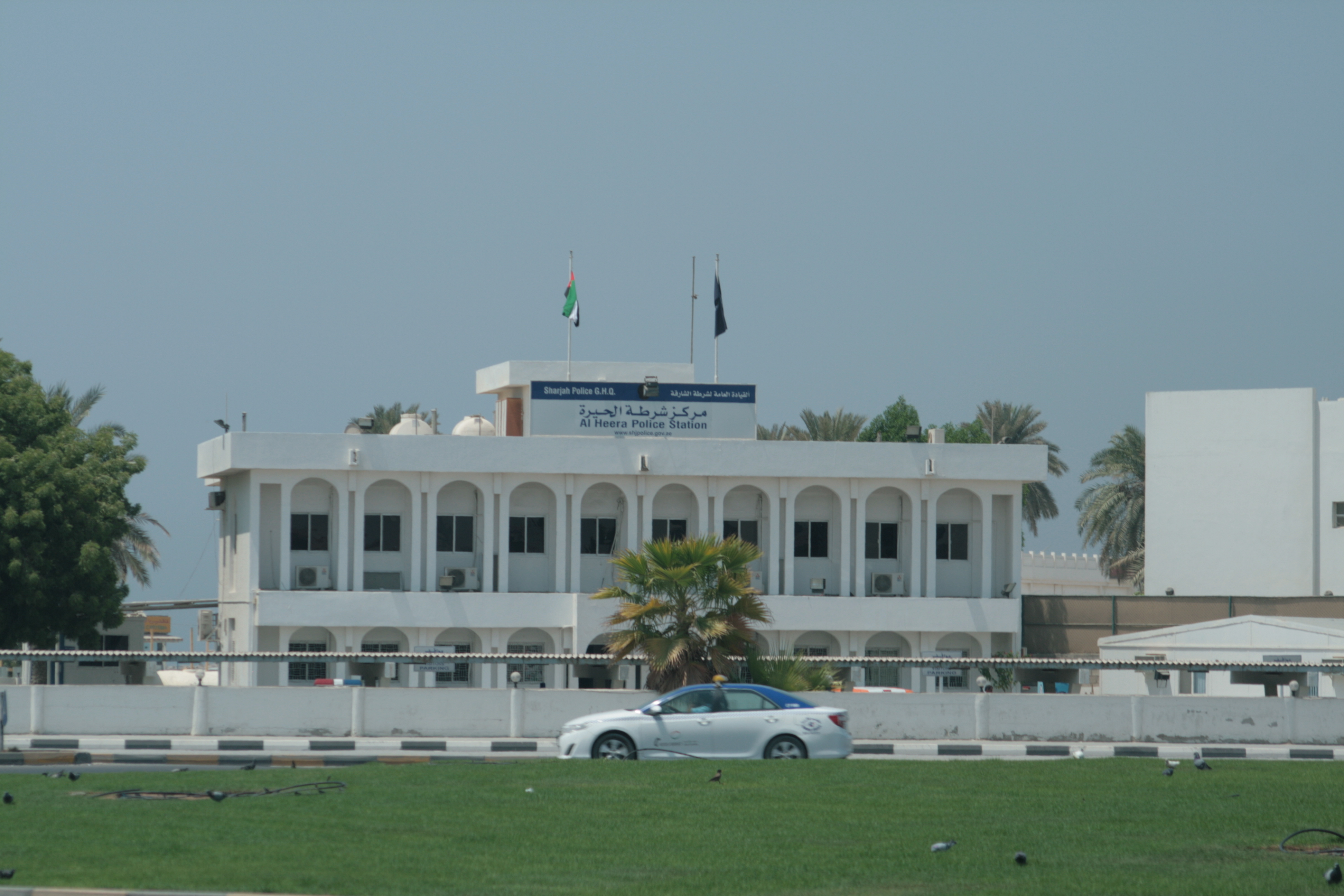
Al Heera is a suburb in Northern Sharjah (emirate), Sharjah in the United Arab Emirates, traditionally home to the Darawishah, part of the Al Bu Shamis section of the Na'im tribe. At one stage declaring its independence from Sharjah, with its own Sheikh, it formally became part of the Emirate of Sharjah in 1942 on the death of its Ruler, Abdulrahman Al Shamsi. A coastal settlement with a small harbour formerly used by a number of fishermen and pleasure boat owners, its main distinguishing feature today is its police station, converted in 2019 into the 'Al Heera Literature Society' building. The original coastal fishing village, built mainly of traditional Emirati adobe and coral houses, sat along the corniche in the area immediately behind the Al Heera Police Station but fell into disuse and was home to taxi drivers and illegal labourers through the 1990s until it was cleared. Little remains today to mark where the original settlement existed. History Al Heera is first mentioned ... [...More Info...] [...Related Items...] OR: [Wikipedia] [Google] [Baidu] |
Sultan Bin Saqr Al Qasimi
Sheikh Sultan bin Saqr Al Qasimi (1781–1866) was the Sheikh of the Qawasim and ruler variously of the towns of Sharjah and Ras Al Khaimah, Jazirah Al Hamra and Rams, all Trucial States in their time and now part of the United Arab Emirates. Briefly a dependent of the first Saudi Kingdom, his rule over Ras Al Khaimah ran from 1803–1809, when he was deposed by order of the Saudi Amir and restored in 1820, going on to rule until his death in 1866 at the age of 85. He was Ruler of Sharjah from 1814–1866, with a brief disruption to that rule in 1840 by his elder son Saqr. He was a signatory to various treaties with the British, starting with the General Maritime Treaty of 1820 and culminating in the Perpetual Maritime Truce of 1853. Rule A characteristic of Sultan's rule is that he placed relatives as ''walis'' or headmen of the emirates under his rule and so Ras Al Khaimah was effectively ruled by Mohammed bin Saqr, Sultan's brother, from 1823 until his death in 1845, while ... [...More Info...] [...Related Items...] OR: [Wikipedia] [Google] [Baidu] |
Al Khan
Al Khan is a southern suburb of the city of Sharjah, United Arab Emirates. The suburb is located on the Al Khan Bay, which serves as a boundary between Sharjah and Dubai. Until recently, the area was deserted and home to a collection of crumbling traditional coral and adobe houses, but it now houses the Sharjah Aquarium. A number of the older buildings are being restored to create a heritage area. History Around the start of the 20th century, Al Khan was administered by a tribal ruler and consisted of some 75 pearling boats and a settlement containing families of the Al Bu Mahair, Mazari and Manasir tribes. A British man-of-war was called to the area in 1917 following an argument between the ruler of Sharjah and the headman of Al Khan, Muhammad bin Ubaid bin Jarash, over absconding debtors from other pearling communities taking refuge in the township. The uneasy relations between Al Khan and Sharjah continued until after 1934, when the Ruler of Sharjah appointed his brother, Moh ... [...More Info...] [...Related Items...] OR: [Wikipedia] [Google] [Baidu] |
Abu Hail
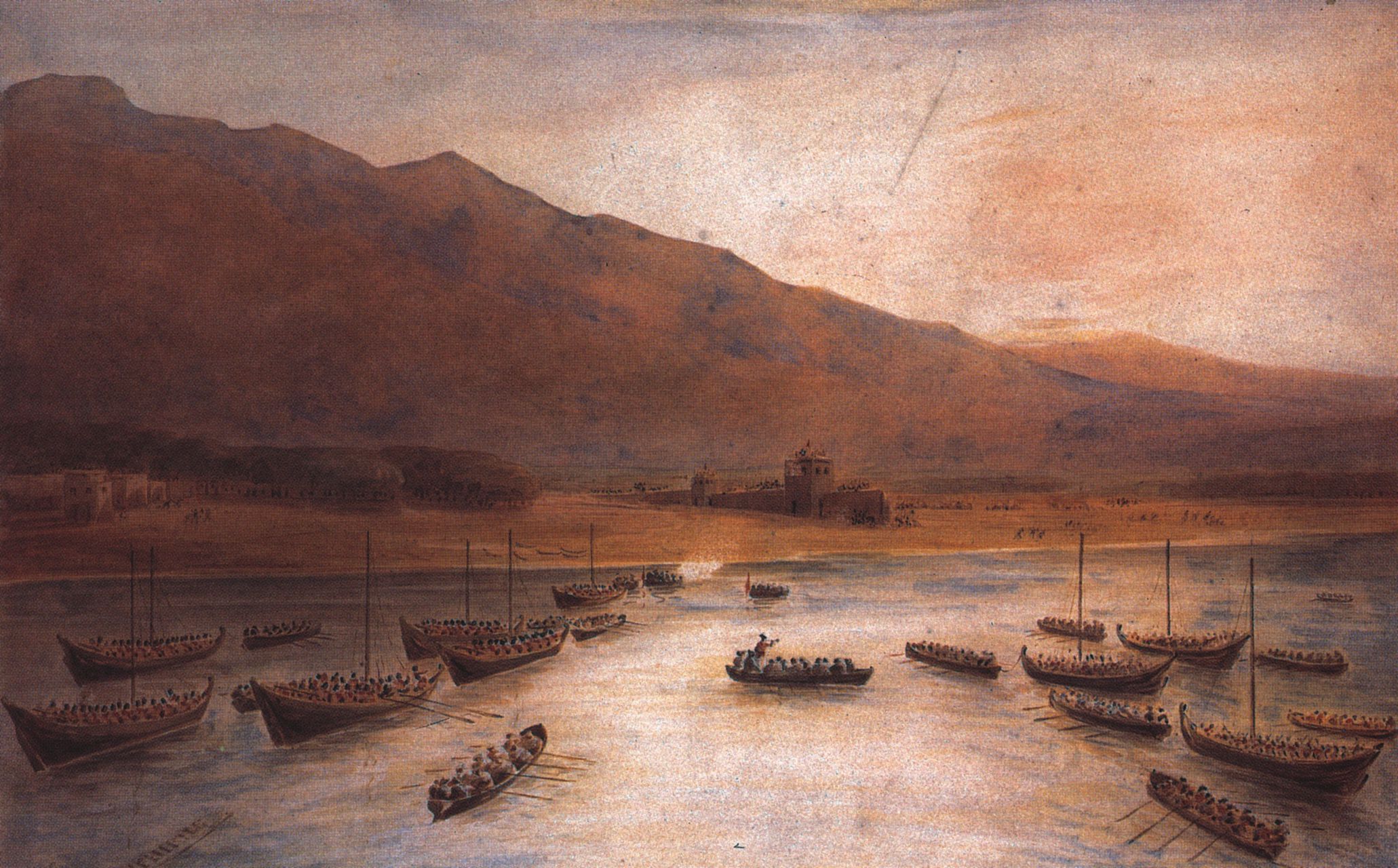
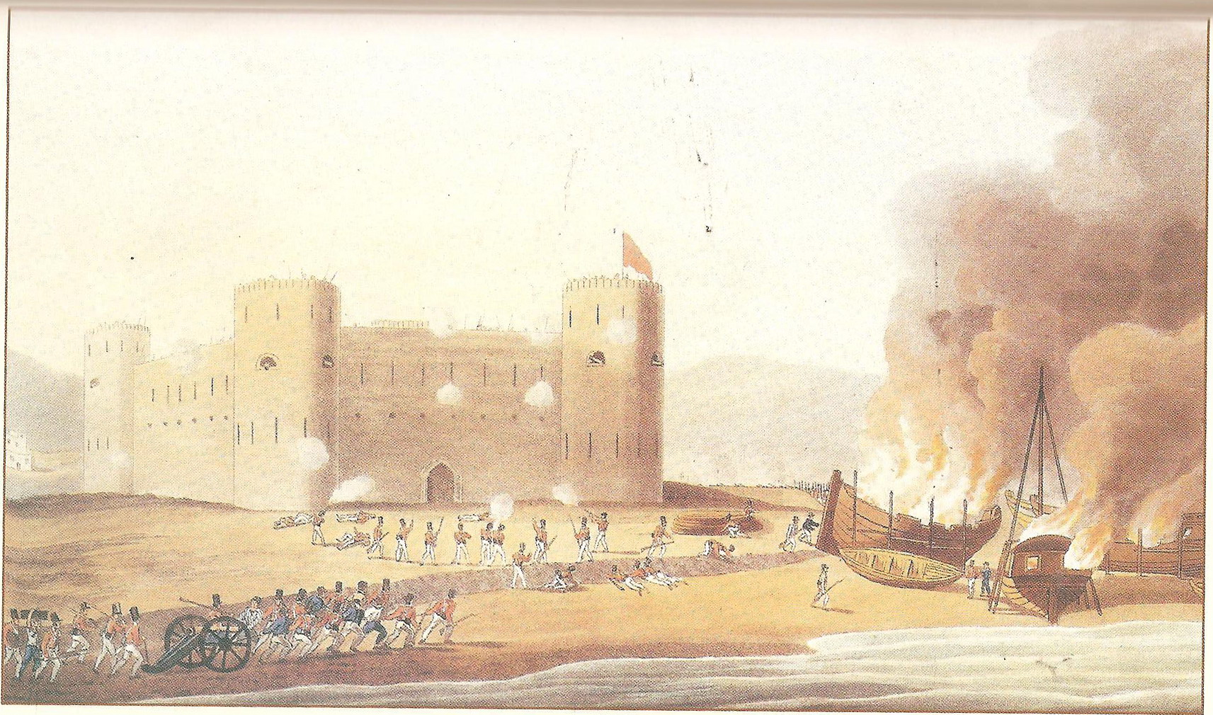
Abu Hail ( ar, أبو هيل) is a neighbourhood in Dubai, United Arab Emirates (UAE), located in Deira. The locality is largely residential and is bordered by the localities of Al Waheda on the east, Hor Al Anz in the south and Al Baraha on the west. The Abu Hail Shopping Centre and Dubai Labour Office are located in Abu Hail. Abu Hail has a Metro Station on the Green Line of the Dubai Metro in Dubai, UAE. History Abu Hail is mentioned in the 1830 British survey of the Trucial Coast: "Aboo Heyle is a small village situated about three miles to the SW of Sharjah, on the same creek with Khan village, on the other bank. They jointly contain about two hundred and fifty inhabitants, of various tribles, mostly fishermen, and are subject to Sharjah." A slightly earlier survey, under Captain Robert Taylor, has the village 'under Sheikh Ali Mohamed of the tribe Matarish'. The settlement and port of Abu Hail were bombarded on 18 January 1820 by British forces during the Persian ... [...More Info...] [...Related Items...] OR: [Wikipedia] [Google] [Baidu] |
Trucial States
The Trucial States ( '), also known as the Trucial Coast ( '), the Trucial Sheikhdoms ( '), Trucial Arabia or Trucial Oman, was the name the British government gave to a group of tribal confederations in southeastern Arabia whose leaders had signed protective treaties, or truces, with the United Kingdom between 1820 and 1892. The Trucial States remained an informal British protectorate until the treaties were revoked on 1 December 1971. The following day, six of the sheikhdoms—Dubai, Abu Dhabi, Sharjah, Ajman, Umm Al Quwain and Fujairah—formed the United Arab Emirates; the seventh, Ras Al Khaimah, joined on February 10, 1972. Overview The sheikhdoms included: * Abu Dhabi (1820–1971) * Ajman (1820–1971) * Dubai (1835–1971) * Fujairah (1952–1971) * Ras Al Khaimah (1820–1972) * Sharjah (1820–1971) * Umm Al Quwain (1820–1971) The sheikhdoms permanently allied themselves with the United Kingdom through a series of treaties, beginning with the General Maritime ... [...More Info...] [...Related Items...] OR: [Wikipedia] [Google] [Baidu] |
Populated Places In The Emirate Of Sharjah
Population typically refers to the number of people in a single area, whether it be a city or town, region, country, continent, or the world. Governments typically quantify the size of the resident population within their jurisdiction using a census, a process of collecting, analysing, compiling, and publishing data regarding a population. Perspectives of various disciplines Social sciences In sociology and population geography, population refers to a group of human beings with some predefined criterion in common, such as location, race, ethnicity, nationality, or religion. Demography is a social science which entails the statistical study of populations. Ecology In ecology, a population is a group of organisms of the same species who inhabit the same particular geographical area and are capable of interbreeding. The area of a sexual population is the area where inter-breeding is possible between any pair within the area and more probable than cross-breeding with in ... [...More Info...] [...Related Items...] OR: [Wikipedia] [Google] [Baidu] |
.jpg)


