|
Achtermannshöhe
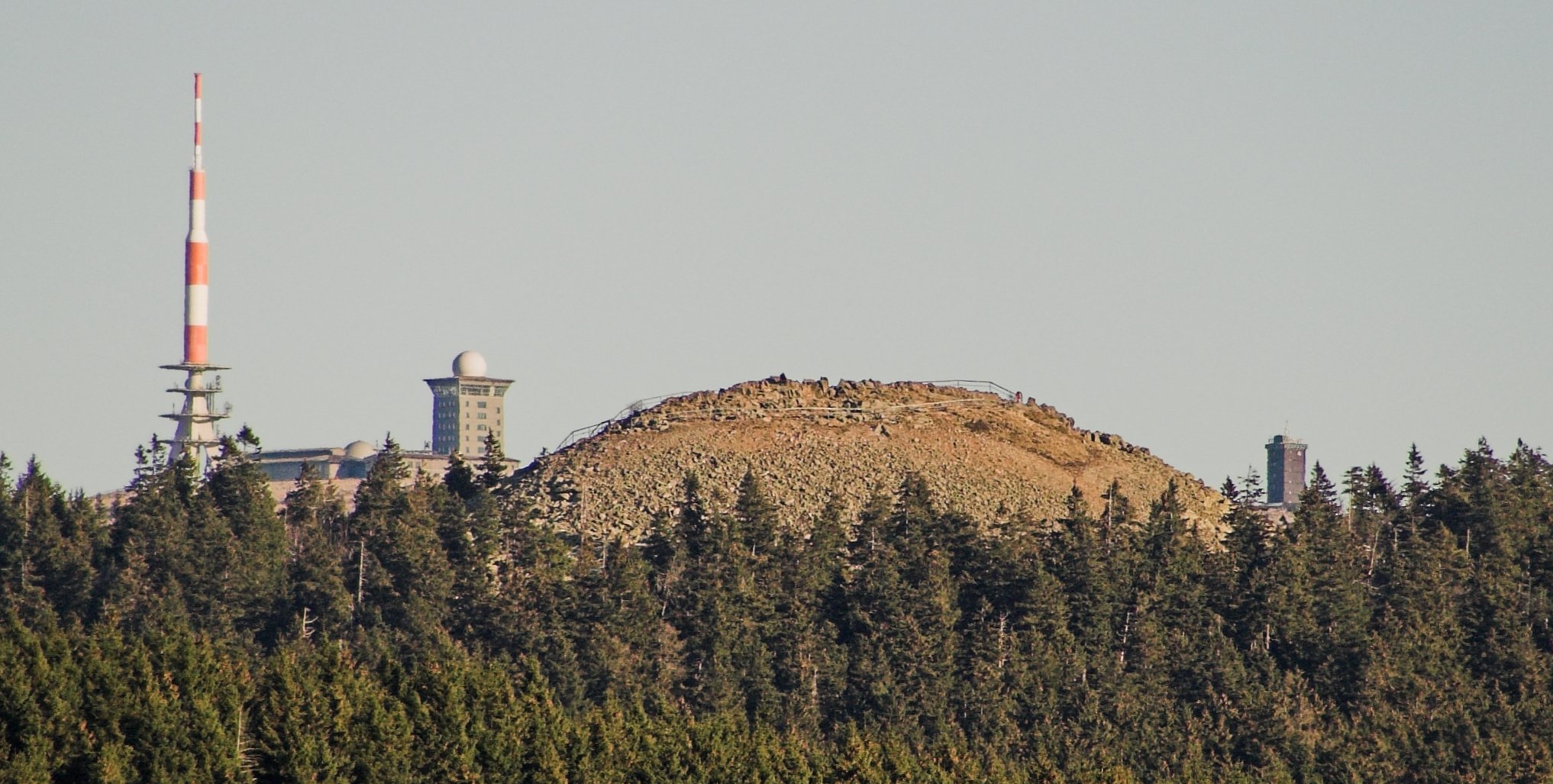
At , the Achtermannshöhe (also just called the Achtermann) in the Harz National Park is the third highest mountain in Lower Saxony and the fourth highest in the Harz mountains. It lies in the unparished area of Harz between the Harz-Heide route ( B 4) and the old Inner German Border about 6 km north of Braunlage. Its summit, covered with loose boulders, stands proud of the surrounding trees and offers a superb all-round view. Equally its characteristic rounded hilltop or ''Kuppe'' is visible in good weather from many other points in the Harz. The Achtermann may be accessed by paths leading from Oderbrück and Königskrug. Geology The base of the Achtermannshöhe is part of the granite massif of the Brocken, which extends across a wide area between Wurmberg, Torfhaus and Elend. By contrast, the rocky, treeless ''Kuppe'' of the Achtermann comprises hornfels, a contact metamorphic rock. The hornstone on the summit has a depth of about 10 m and was formed fro ... [...More Info...] [...Related Items...] OR: [Wikipedia] [Google] [Baidu] |
Brocken
The Brocken, also sometimes referred to as the Blocksberg, is the highest peak in the Harz mountain range and also the highest peak in Northern Germany; it is near Schierke in the German state of Saxony-Anhalt between the rivers Weser and Elbe. Although its elevation of is below alpine dimensions, its microclimate resembles that of mountains of about . The peak above the tree line tends to have a snow cover from September to May, and mists and fogs shroud it up to 300 days of the year. The mean annual temperature is only . It is the easternmost mountain in northern Germany; travelling east in a straight line, the next prominent elevation would be in the Ural Mountains in Russia. The Brocken has always played a role in legends and has been connected with witches and devils; Johann Wolfgang von Goethe took up the legends in his play ''Faust''. The Brocken spectre is a common phenomenon on this misty mountain, where a climber's shadow cast upon fog creates eerie optical effects. ... [...More Info...] [...Related Items...] OR: [Wikipedia] [Google] [Baidu] |
Harz
The Harz () is a highland area in northern Germany. It has the highest elevations for that region, and its rugged terrain extends across parts of Lower Saxony, Saxony-Anhalt, and Thuringia. The name ''Harz'' derives from the Middle High German word ''Hardt'' or ''Hart'' (hill forest). The name ''Hercynia'' derives from a Celtic name and could refer to other mountain forests, but has also been applied to the geology of the Harz. The Brocken is the highest summit in the Harz with an elevation of above sea level. The Wurmberg () is the highest peak located entirely within the state of Lower Saxony. Geography Location and extent The Harz has a length of , stretching from the town of Seesen in the northwest to Eisleben in the east, and a width of . It occupies an area of , and is divided into the Upper Harz (''Oberharz'') in the northwest, which is up to 800 m high, apart from the 1,100 m high Brocken massif, and the Lower Harz (''Unterharz'') in the east which is up to aroun ... [...More Info...] [...Related Items...] OR: [Wikipedia] [Google] [Baidu] |
List Of Mountains Of The Harz
This list of mountains and hills in the Harz contains a selection of mountains, hills, high points and their outliers in the Harz Mountains of Germany. The Harz is part of the German Central Uplands and a natural region main unit (number D37) in the states of Lower Saxony, Saxony-Anhalt and Thuringia. The list includes the mountains and hills of the Harz National Park and the nature parks of Harz Nature Park (Lower Saxony), Harz (Lower Saxony), Harz/Saxony-Anhalt Nature Park, Harz/Saxony-Anhalt and the South Harz Nature Park, South Harz. Hills in the South Harz Karst Landscape Biosphere Reserve, the Harz regions of Alter Stolberg, Mansfeld Land, Ramberg (Harz), Ramberg and Rüdigsdorf Switzerland are also included. ''→ see also: Harzklippen'' for a list of rock formations, including tors and crags. The table is sorted by elevations in metres above sea level referred to Normalnull (NN), except where indicated, according to the Bundesamt für Naturschutz, BfN). Several colum ... [...More Info...] [...Related Items...] OR: [Wikipedia] [Google] [Baidu] |
Torfhaus
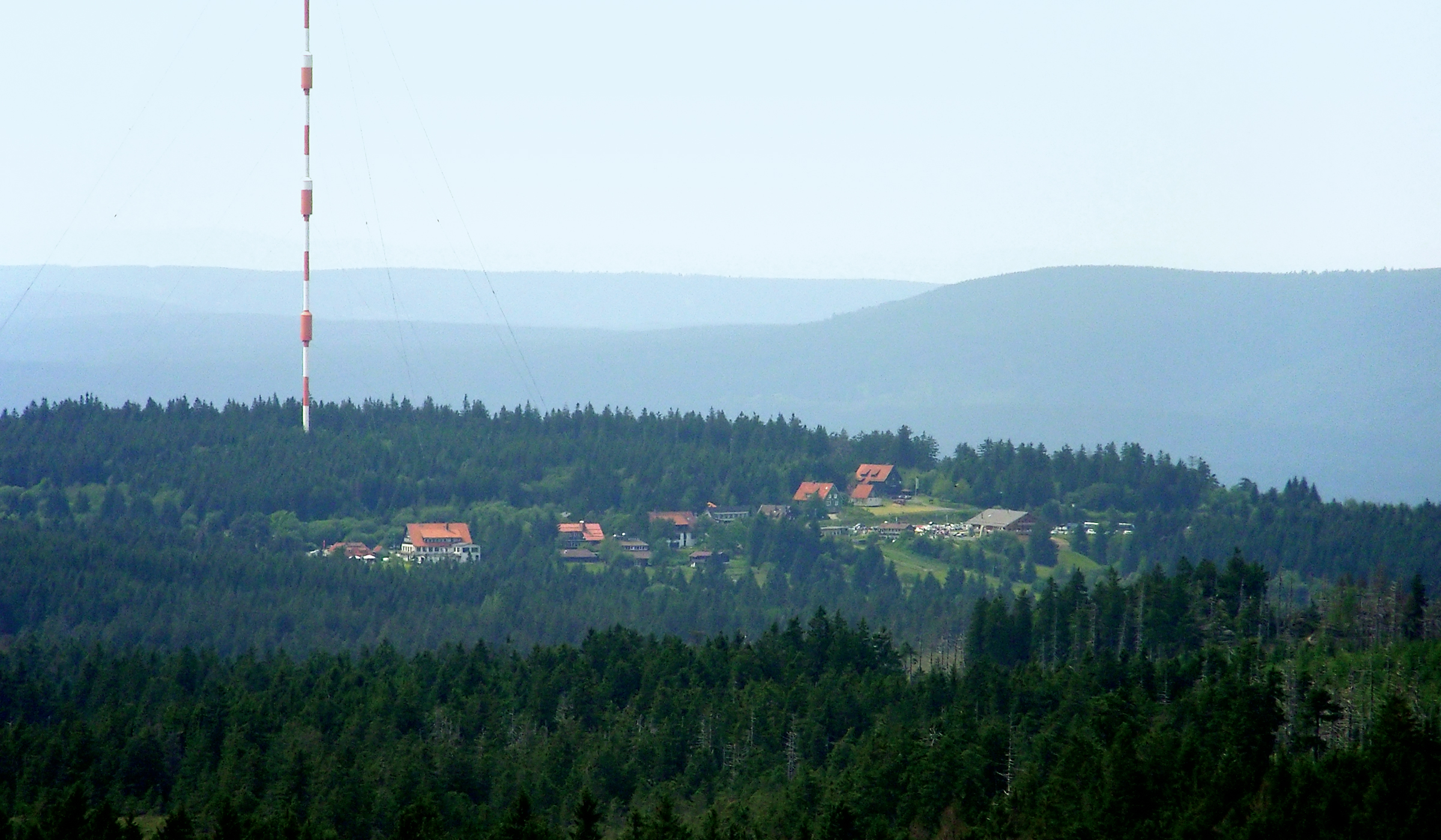
Torfhaus is a village in the borough of the mining town of Altenau in the Harz mountains of Germany and lies at a height of about . It is the highest settlement in Lower Saxony. This small settlement consists mainly of restaurants, youth hostels, ski huts and large car parks. A resort area with hotel and cabins was built in 2012/2013. The B 4 federal road, which is a major traffic route, runs from Brunswick to the north via Torfhaus to Braunlage and on into the South and East Harz. Today Torfhaus is a popular start point for walks along the Goethe Way to the Brocken, but also to the historic Dreieckiger Pfahl boundary stone and on over the mountains of the Wurmberg or Achtermannshöhe to Braunlage. Geography Torfhaus lies about 7 km east of Altenau and roughly 9 km south of Bad Harzburg in the Upper Harz. The river Radau rises east of Torfhaus on the Torfhaus Moor (also called ''Radauborn Moor''). Tourism and sport Torfhaus lies at the heart of the Harz Nation ... [...More Info...] [...Related Items...] OR: [Wikipedia] [Google] [Baidu] |
Königskrug
Braunlage () is a town and health resort in the Goslar district of Lower Saxony in Germany. Situated within the Harz mountain range, south of the Brocken massif, Braunlage's main business is tourism, particularly skiing. Nearby ski resorts include the Sonnenberg and the slopes on the Wurmberg. Geography Braunlage is located on the Warme Bode, a headstream of the river Bode, close to the border with Elend in the state of Saxony-Anhalt. The municipal area stretches along the south-eastern rim of the Harz National Park from an elevation of up to at the summit of the Wurmberg. Other peaks in the vicinity include the Achtermannshöhe and the Hahnenklee Crags. Districts The town consists of three districts: * Braunlage proper * Hohegeiß*, incorporated on 1 July 1972 * Sankt Andreasberg**, incorporated on 1 November 2011 * with the village of Königskrug ** with the villages of Sonnenberg, Oderhaus, Oderbrück, Oderberg, Odertaler Sägemühle and Silberhütte Transportat ... [...More Info...] [...Related Items...] OR: [Wikipedia] [Google] [Baidu] |
Mountains Of Lower Saxony
This List of mountains and hills in Lower Saxony shows a selection of high or well-known mountains and hills in the German state of Lower Saxony (''in order of height''). Although there is no universally agreed definition of a 'mountain', summits at 2.000 feet (610 metres) or higher may generally be referred to as mountains; those below 2.000 feet as 'hills',Whittow, John (1984). ''Dictionary of Physical Geography''. London: Penguin, 1984. . hence the division of this list. By this definition, it can be seen that all the mountains in Lower Saxony occur in the Harz. Highest points in Lower Saxony's regions The following table lists the highest points in the various landscapes (hill ranges or regions) of Lower Saxony. In the "Landscape" column, major hill ranges are shown in bold. Clicking "List" in the rows of the "List" column links to other hills or mountains in that landscape – some of which are outside Lower Saxony. The table is arranged by height, but may be sorted by oth ... [...More Info...] [...Related Items...] OR: [Wikipedia] [Google] [Baidu] |
List Of Mountains And Hills Of Lower Saxony
This List of mountains and hills in Lower Saxony shows a selection of high or well-known mountains and hills in the German state of Lower Saxony (''in order of height''). Although there is no universally agreed definition of a 'mountain', summits at 2.000 feet (610 metres) or higher may generally be referred to as mountains; those below 2.000 feet as 'hills',Whittow, John (1984). ''Dictionary of Physical Geography''. London: Penguin, 1984. . hence the division of this list. By this definition, it can be seen that all the mountains in Lower Saxony occur in the Harz. Highest points in Lower Saxony's regions The following table lists the highest points in the various landscapes (hill ranges or regions) of Lower Saxony. In the "Landscape" column, major hill ranges are shown in bold. Clicking "List" in the rows of the "List" column links to other hills or mountains in that landscape – some of which are outside Lower Saxony. The table is arranged by height, but may be sorted by oth ... [...More Info...] [...Related Items...] OR: [Wikipedia] [Google] [Baidu] |
Wurmberg (Harz)
At the Wurmberg is the second highest mountain in the Harz and the highest in Lower Saxony (Germany). Geography The Wurmberg lies north of Braunlage, in the district of Landkreis Goslar, Goslar, and west of Schierke. Its Summit (topography), summit is located due south of the Brocken and roughly 400 m (as the crow flies) south of the state border with Saxony-Anhalt. The two mountains are separated by the valley of the Kalte Bode, which in this area is about . Wurmberg nature reserve Until October 2006, the Wurmberg lay within the Upper Harz Nature Reserve (''Naturschutzgebiet Oberharz''). Since then only two areas totalling 183 hectares in area on the west and southwest slopes have been designated as the Wurmberg Nature Reserve. ''Wurmbergklippen'' On the southern flank of the Wurmberg there are two striking tor (rock formation), tors or ''Wurmbergklippen'', which are one of the many ''Harzklippen'': * The ''Große Wurmbergklippe'' (also called the ''Gro� ... [...More Info...] [...Related Items...] OR: [Wikipedia] [Google] [Baidu] |
Braunlage
Braunlage () is a town and health resort in the Goslar district of Lower Saxony in Germany. Situated within the Harz mountain range, south of the Brocken massif, Braunlage's main business is tourism, particularly skiing. Nearby ski resorts include the Sonnenberg and the slopes on the Wurmberg. Geography Braunlage is located on the Warme Bode, a headstream of the river Bode, close to the border with Elend in the state of Saxony-Anhalt. The municipal area stretches along the south-eastern rim of the Harz National Park from an elevation of up to at the summit of the Wurmberg. Other peaks in the vicinity include the Achtermannshöhe and the Hahnenklee Crags. Districts The town consists of three districts: * Braunlage proper * Hohegeiß*, incorporated on 1 July 1972 * Sankt Andreasberg**, incorporated on 1 November 2011 * with the village of Königskrug ** with the villages of Sonnenberg, Oderhaus, Oderbrück, Oderberg, Odertaler Sägemühle and Silberhütte Transportation ... [...More Info...] [...Related Items...] OR: [Wikipedia] [Google] [Baidu] |
Magma
Magma () is the molten or semi-molten natural material from which all igneous rocks are formed. Magma is found beneath the surface of the Earth, and evidence of magmatism has also been discovered on other terrestrial planets and some natural satellites. Besides molten rock, magma may also contain suspended crystals and gas bubbles. Magma is produced by melting of the mantle or the crust in various tectonic settings, which on Earth include subduction zones, continental rift zones, mid-ocean ridges and hotspots. Mantle and crustal melts migrate upwards through the crust where they are thought to be stored in magma chambers or trans-crustal crystal-rich mush zones. During magma's storage in the crust, its composition may be modified by fractional crystallization, contamination with crustal melts, magma mixing, and degassing. Following its ascent through the crust, magma may feed a volcano and be extruded as lava, or it may solidify underground to form an intrusion, such as a ... [...More Info...] [...Related Items...] OR: [Wikipedia] [Google] [Baidu] |
Grauwacke
Greywacke or graywacke (German ''grauwacke'', signifying a grey, earthy rock) is a variety of sandstone generally characterized by its hardness, dark color, and poorly sorted angular grains of quartz, feldspar, and small rock fragments or lithic fragments set in a compact, clay-fine matrix. It is a texturally immature sedimentary rock generally found in Paleozoic strata. The larger grains can be sand- to gravel-sized, and matrix materials generally constitute more than 15% of the rock by volume. The term "greywacke" can be confusing, since it can refer to either the immature (rock fragment) aspect of the rock or its fine-grained (clay) component. The origin of greywacke was unknown until turbidity currents and turbidites were understood, since, according to the normal laws of sedimentation, gravel, sand and mud should not be laid down together. Geologists now attribute its formation to submarine avalanches or strong turbidity currents. These actions churn sediment and cau ... [...More Info...] [...Related Items...] OR: [Wikipedia] [Google] [Baidu] |


